ED
BUCKHURST HILL
By Edward Taub & Co
£ 2,250
Edward Taub & Co says ..
No summary available.
- Bedrooms
- 2
- Bathrooms
- 1
The heatmap indicates the level of crime in the area. The color of the heatmap indicates the crime severity and recency.
Metrics Year-on-Year
- Average area value
- 931,250.00 £Increased by 32.36 %
- Average area rental value
- 1,725.00 £/moDecreased by 11.45 %
- Est rental Yield
- 2.22 %Decreased by 33.13 %
- Crime Rate
- 11.00 %Unchanged by 0.00 %
from 703,572.00 £
from 1,948.00 £/mo
from 3.32 %
from 11.00 %
Agent Activity
Edward Taub & Co created the listing.
Nearby Schools
| Name | Type | Ofsted | Distance |
|---|---|---|---|
| St John'S Church Of England Voluntary Controlled Primary School, Buckhurst Hill | Academy Converter | 0.25 KM | |
| Loyola Preparatory School | Other Independent School | 0.47 KM | |
| Braeside School | Other Independent School | 0.57 KM | |
| The Daiglen School | Other Independent School | 0.61 KM | |
| Bancrofts School | Other Independent School | 1.07 KM |
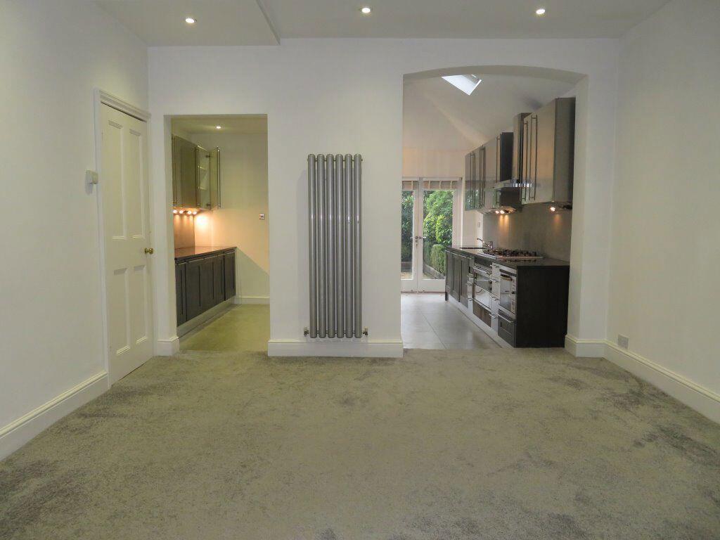
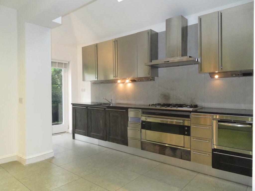
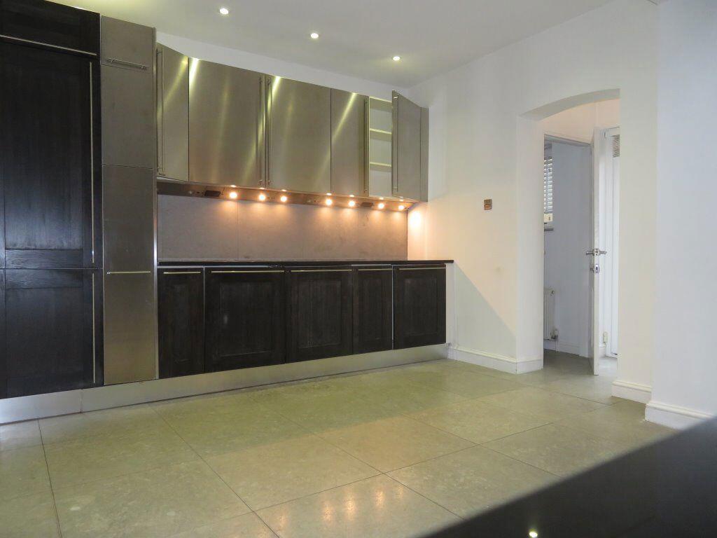
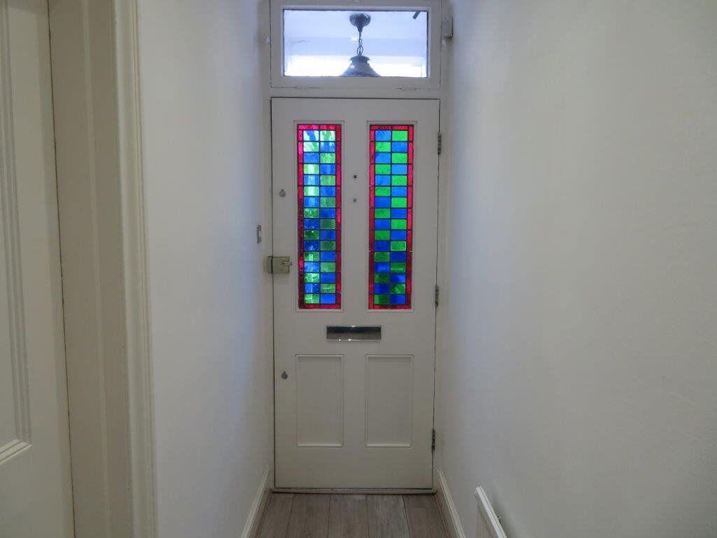
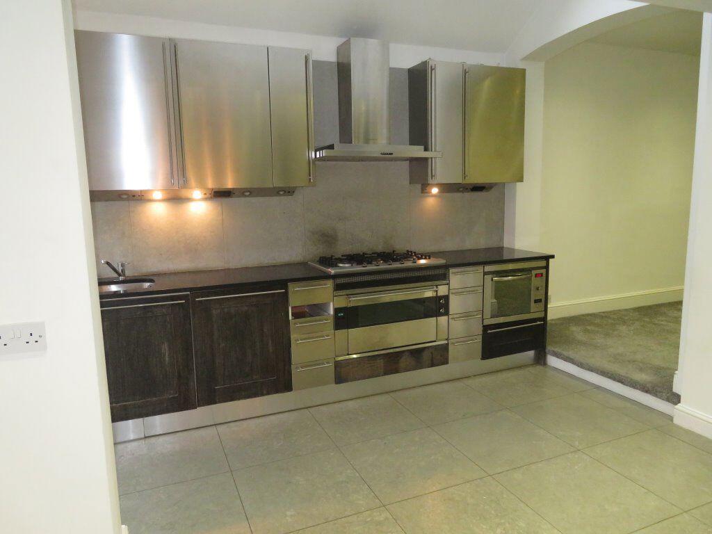
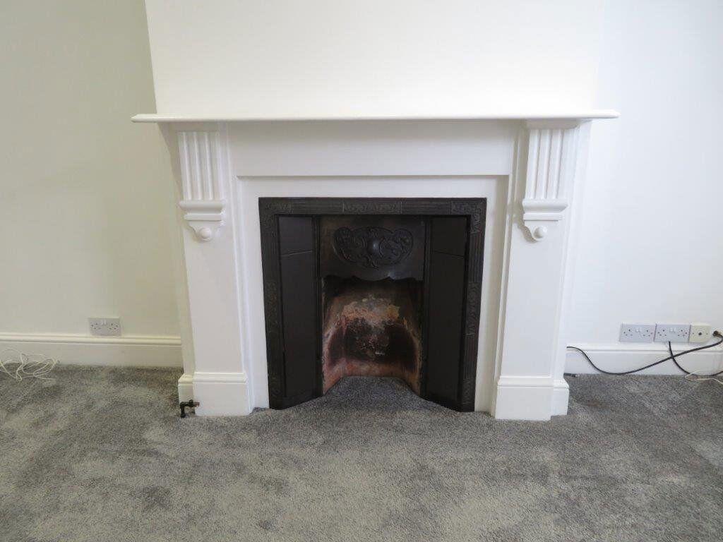
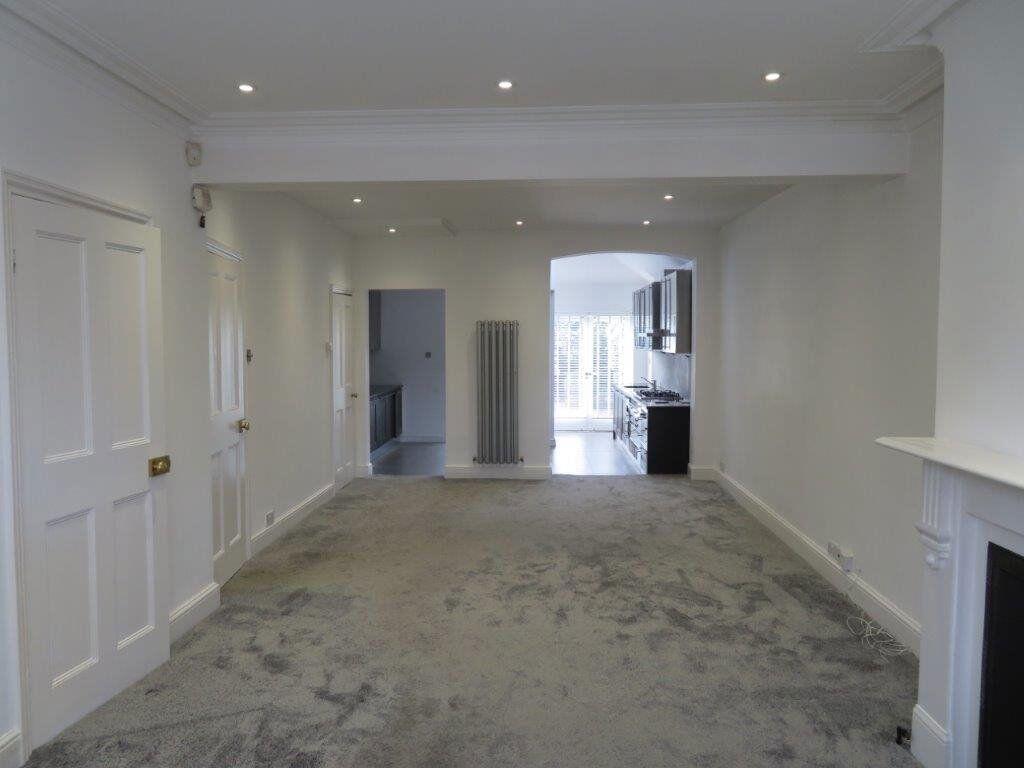
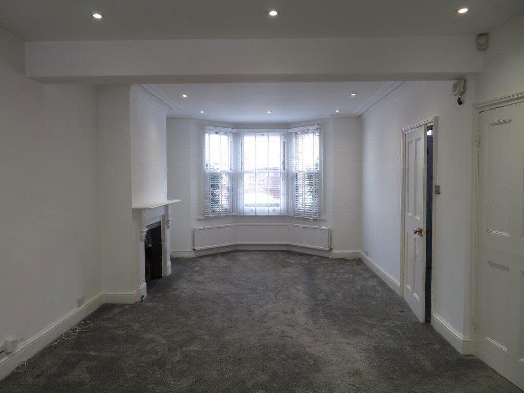
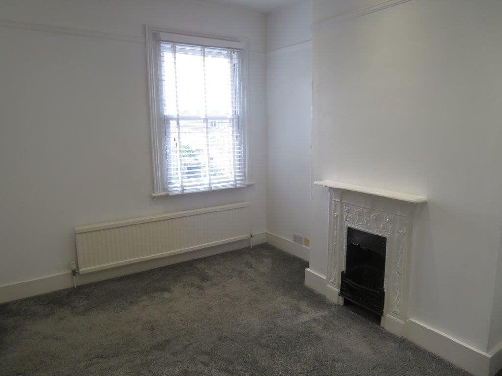
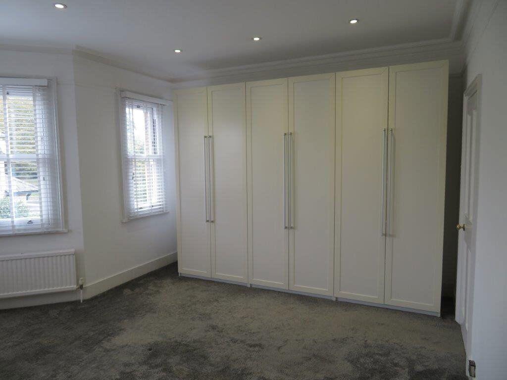
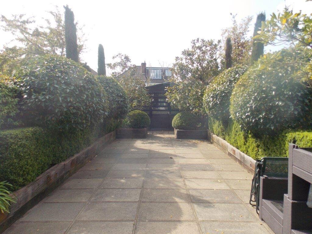
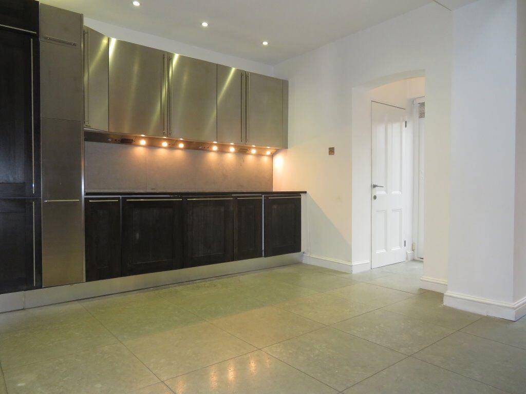
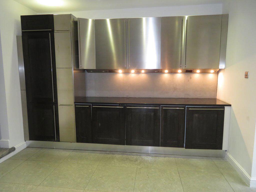
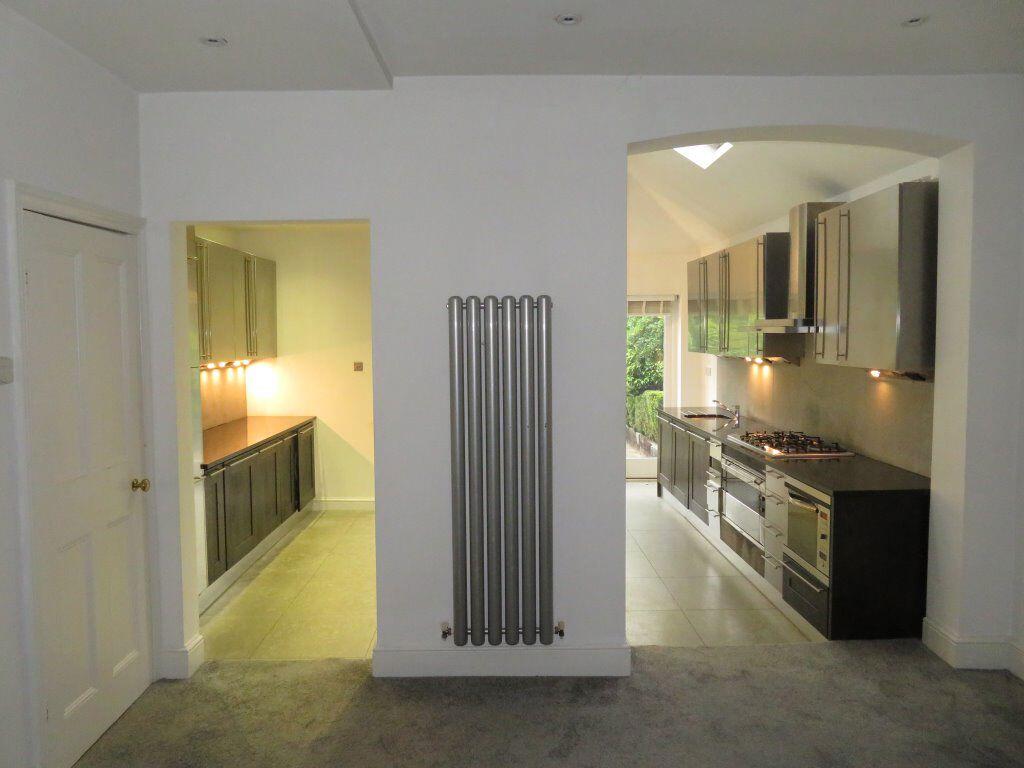
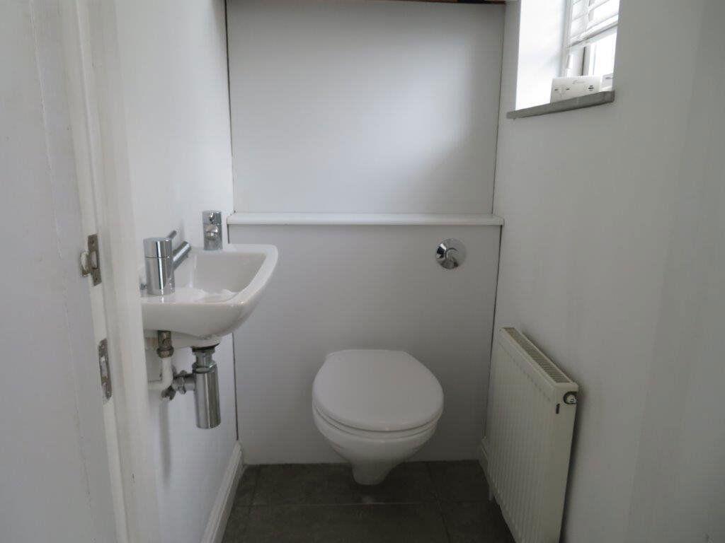
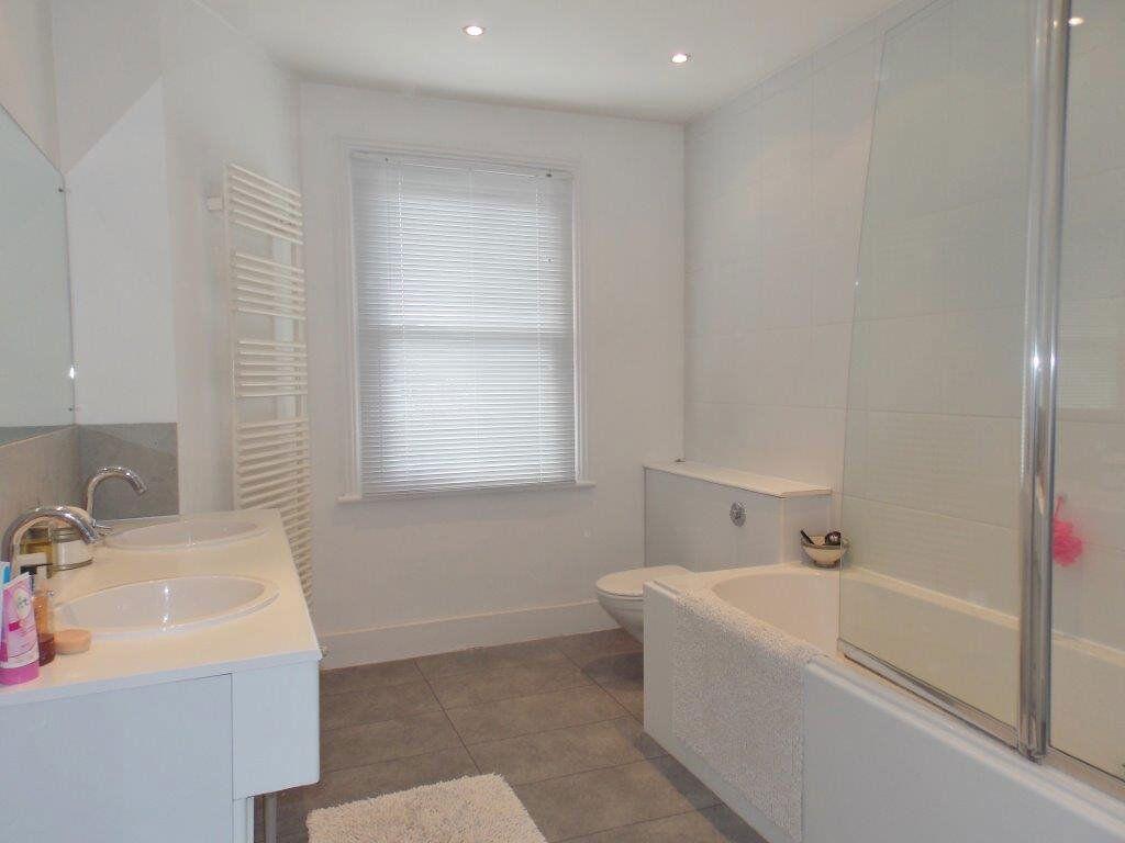
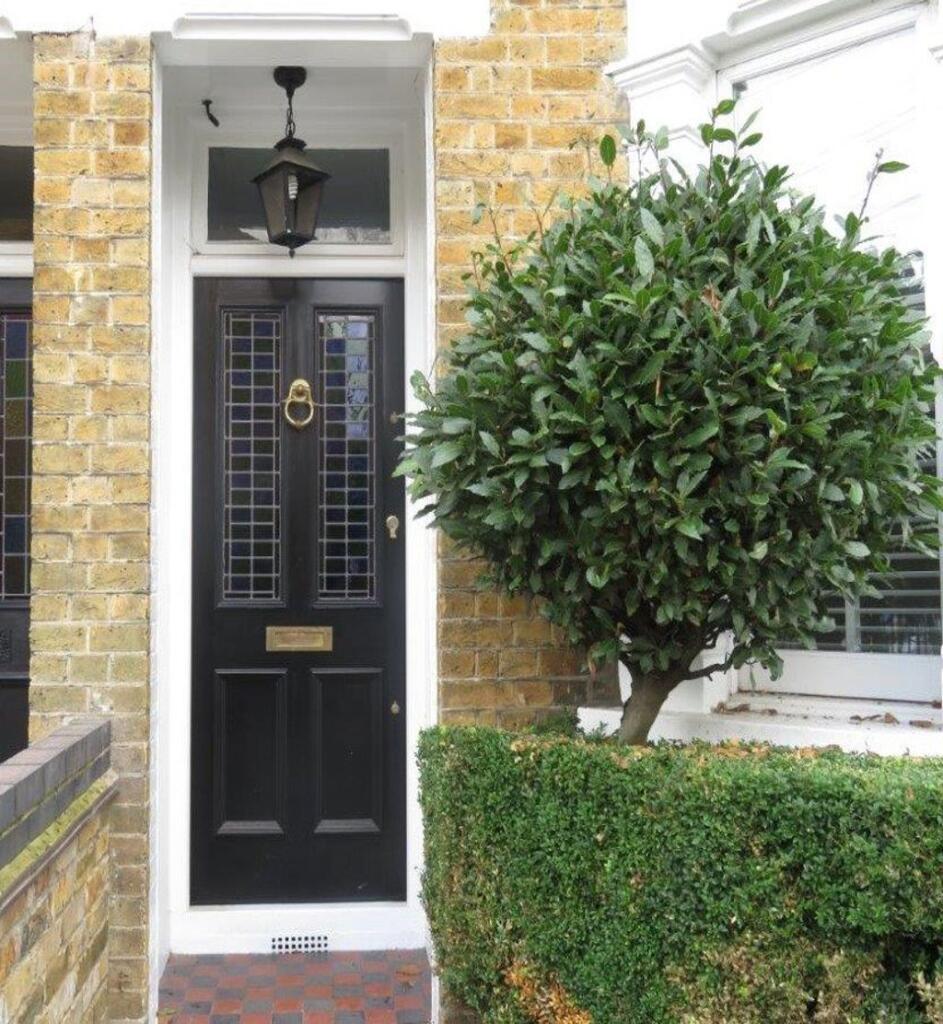
Images

Nearby Streets
| Name | Average Price | Average Sqft | Distance |
|---|---|---|---|
| Chandos Close | £ 0 | 0 | 0.00 KM |
| St John's Court | £ 595,000 | 0 | 0.00 KM |
| Forest Close | £ 0 | 0 | 0.00 KM |
| Kendal Close | £ 1,100,000 | 0 | 0.00 KM |
| Back Lane | £ 0 | 0 | 0.00 KM |
Nearby Transport
| Name | NLC | TLC | Distance |
|---|---|---|---|
| Chingford | 6914 | CHI | 2.48 KM |
| Highams Park | 6919 | HIP | 4.15 KM |
| Wood Street | 6954 | WST | 5.95 KM |
| Ponders End | 6819 | PON | 7.56 KM |
| Brimsdown | 6810 | BMD | 7.57 KM |
Nearby Listings
| Address | Price | Type | Score | Distance |
|---|---|---|---|---|
| BUCKHURST HILL | £ 2,250 | RENT | Unknown | 0.00 KM |
| Devon Close, Buckhurst Hill | £ 2,850 | RENT | Unknown | 0.07 KM |
| The Chequers, Buckhurst Hill, IG9 | £ 1,750 | RENT | Unknown | 0.12 KM |
| Church Road, Buckhurst Hill, IG9 | £ 2,850 | RENT | Unknown | 0.14 KM |
| Stag Lane, Buckhurst Hill IG9 | £ 2,500 | RENT | Unknown | 0.22 KM |
Nearby Properties
| Address | Price | Distance |
|---|---|---|
| 5 Osborne Road | £ 810,000 | 0.06 KM |
| 6 Osborne Road | £ 760,000 | 0.06 KM |
| 3 Osborne Road | £ 780,000 | 0.06 KM |
| 4 Hills Road | £ 850,000 | 0.06 KM |
| 15 Hills Road | £ 670,000 | 0.06 KM |