
MA
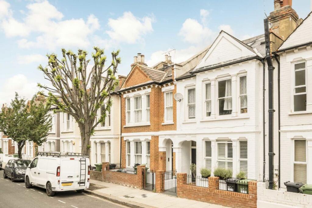
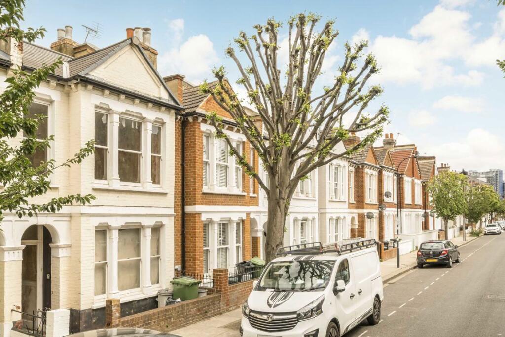
Tynemouth Street
By Marsh & Parsons
£ 3,000
Marsh & Parsons says ..
No summary available.
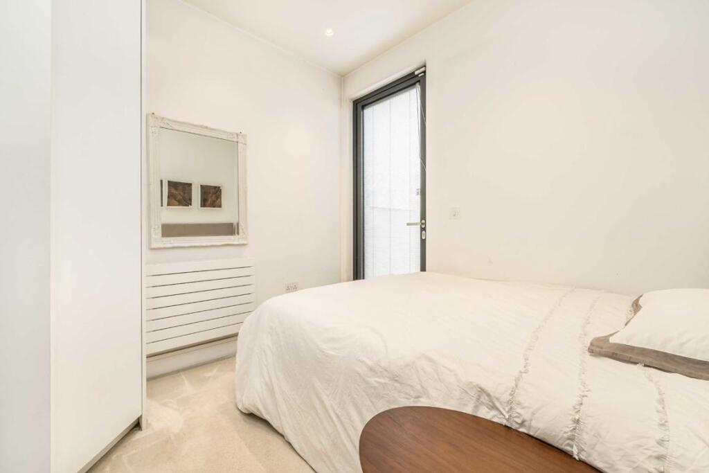
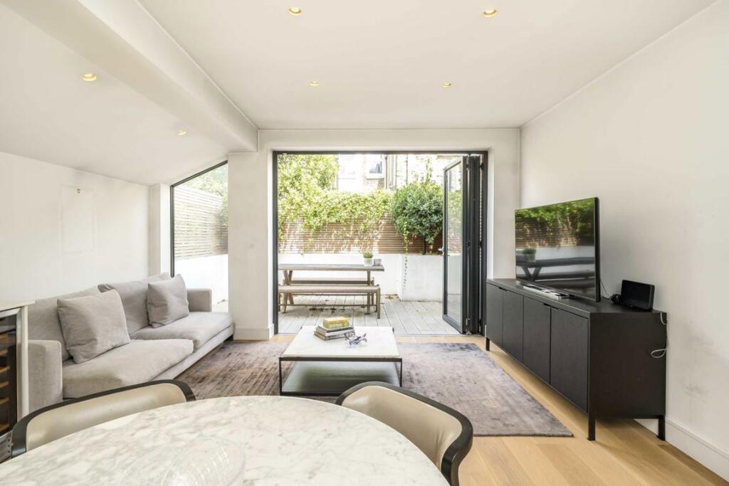
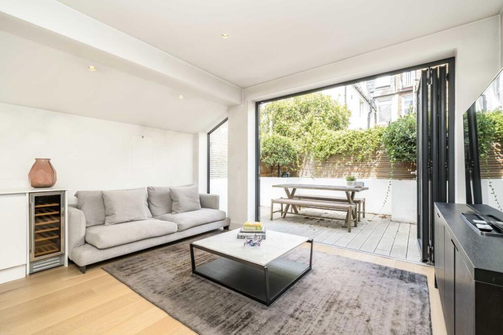
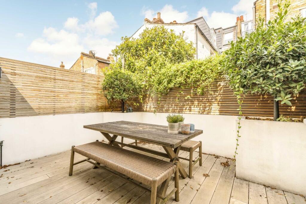
- Bedrooms
- 2
- Bathrooms
- 1
The heatmap indicates the level of crime in the area. The color of the heatmap indicates the crime severity and recency.
Metrics Year-on-Year
- Average area value
- 1,383,762.00 £Increased by 8.10 %
- Average area rental value
- 3,390.00 £/moIncreased by 11.04 %
- Est rental Yield
- 2.94 %Increased by 2.80 %
- Crime Rate
- 6.00 %Unchanged by 0.00 %
from 1,280,082.00 £
from 3,053.00 £/mo
from 2.86 %
from 6.00 %
Agent Activity
Marsh & Parsons created the listing.
Nearby Schools
| Name | Type | Ofsted | Distance |
|---|---|---|---|
| Ray'S Playhouse Ltd. | Children's Centre Linked Site | 0.11 KM | |
| Ormiston Courtyard Academy | Academy Alternative Provision Converter | Outstanding | 0.30 KM |
| Langford Primary School | Academy Sponsor Led | Outstanding | 0.30 KM |
| L'Ecole Des Petits School | Other Independent School | Outstanding | 0.54 KM |
| Chelsea Academy | Academy Sponsor Led | Outstanding | 0.68 KM |
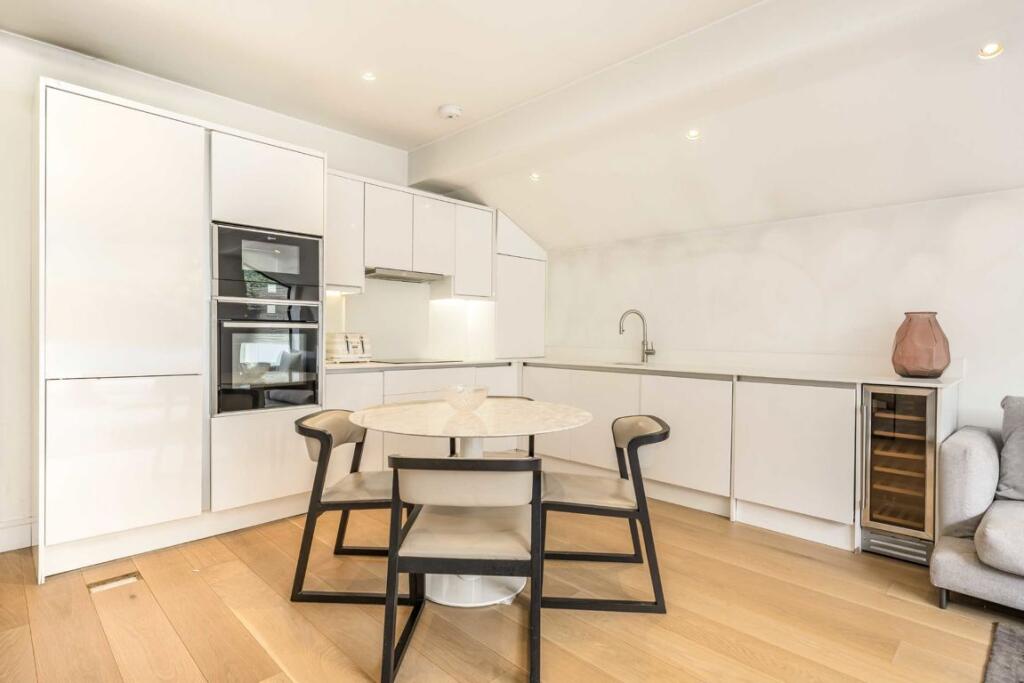
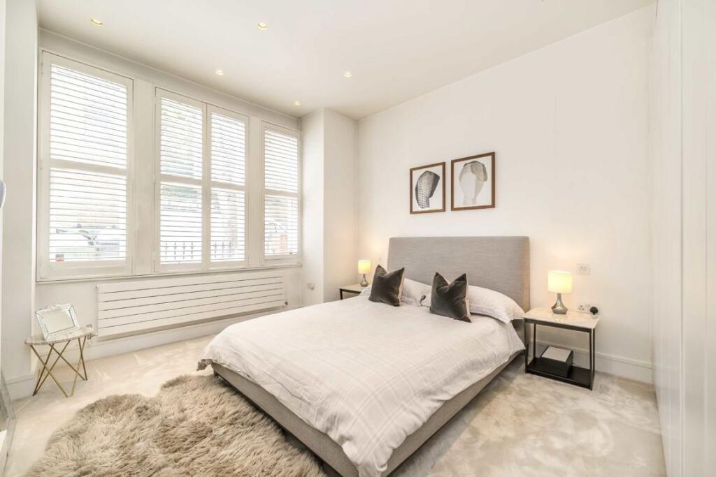
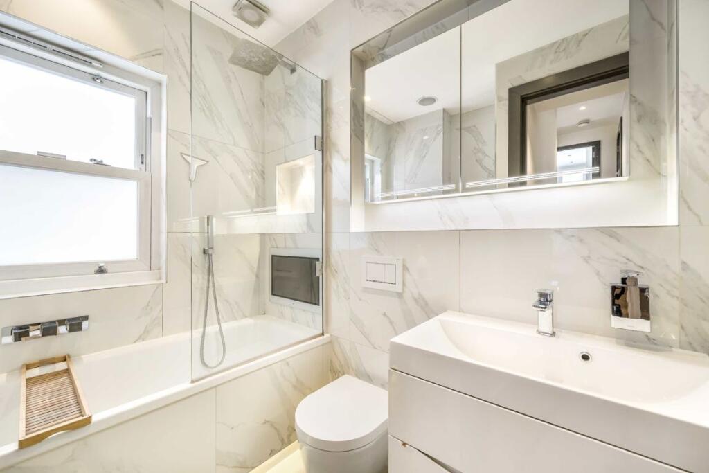
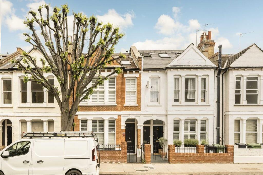
Images


Nearby Streets
| Name | Average Price | Average Sqft | Distance |
|---|---|---|---|
| Fulmead Street | £ 0 | 0 | 0.00 KM |
| Potters Road | £ 822,500 | 0 | 0.00 KM |
| William Morris Way | £ 1,505,000 | 0 | 0.00 KM |
| Watermeadow Lane | £ 782,375 | 0 | 0.00 KM |
| Langford Road | £ 0 | 0 | 0.00 KM |
Nearby Transport
| Name | NLC | TLC | Distance |
|---|---|---|---|
| Imperial Wharf | 9586 | IMW | 0.44 KM |
| Wandsworth Town | 5576 | WNT | 1.32 KM |
| West Brompton | 8875 | WBP | 1.90 KM |
| Clapham Junction | 5595 | CLJ | 2.00 KM |
| Earlsfield | 5584 | EAD | 3.39 KM |
Nearby Listings
| Address | Price | Type | Score | Distance |
|---|---|---|---|---|
| Tynemouth Street | £ 3,000 | RENT | Unknown | 0.00 KM |
| Elbe Street, London | £ 3,900 | RENT | Unknown | 0.06 KM |
| Tynemouth Street, London | £ 2,850 | RENT | Unknown | 0.06 KM |
| Tynemouth Street, London, SW6 | £ 3,500 | RENT | Unknown | 0.07 KM |
| Lindrop Street, London, SW6 | £ 1,950 | RENT | Unknown | 0.07 KM |
Nearby Properties
| Address | Price | Distance |
|---|---|---|
| 73a Tynemouth Street | £ 538,000 | 0.05 KM |
| 69 Tynemouth Street | £ 457,500 | 0.05 KM |
| 15 Tynemouth Street | £ 680,200 | 0.05 KM |
| 7 Tynemouth Street | £ 350,000 | 0.05 KM |
| 13 Tynemouth Street | £ 600,000 | 0.05 KM |