RE
Ashmore Road, W9
By Rentd
£ 2,995
Rentd says ..
Please note, we manage the marketing for this property only; the landlord or managing agent will contact you directly following your enquiry.
- Bedrooms
- 3
- Bathrooms
- 2
The heatmap indicates the level of crime in the area. The color of the heatmap indicates the crime severity and recency.
Metrics Year-on-Year
- Average area value
- 392,498.00 £Decreased by 19.21 %
- Average area rental value
- 1,784.00 £/moDecreased by 5.61 %
- Est rental Yield
- 5.45 %Increased by 16.70 %
- Crime Rate
- 3.00 %Unchanged by 0.00 %
from 485,835.00 £
from 1,890.00 £/mo
from 4.67 %
from 3.00 %
Agent Activity
Rentd created the listing.
Nearby Schools
| Name | Type | Ofsted | Distance |
|---|---|---|---|
| St Luke'S Cofe Primary School | Voluntary Aided School | Good | 0.06 KM |
| North West Locality Hub Lead -Queen'S Park Children'S Centre | Children's Centre | 0.26 KM | |
| Carlton Vale Infant School | Community School | Good | 0.34 KM |
| Dorothy Gardner Nursery School | Local Authority Nursery School | Requires improvement | 0.36 KM |
| The Kilburn Park School Foundation | Foundation School | Good | 0.41 KM |
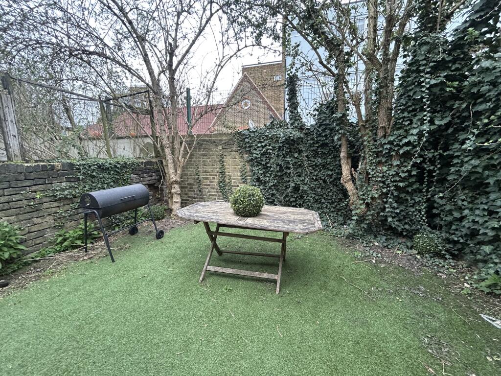
Images
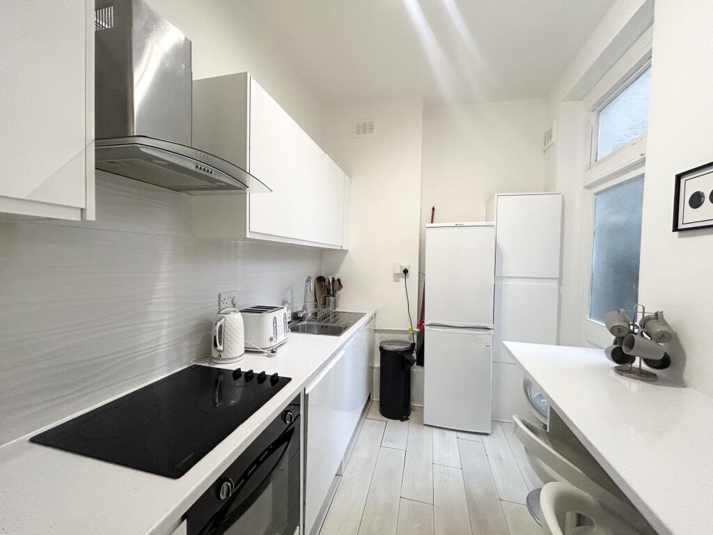
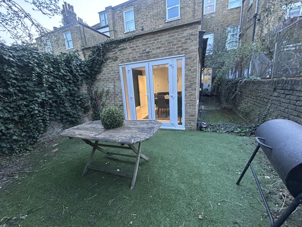
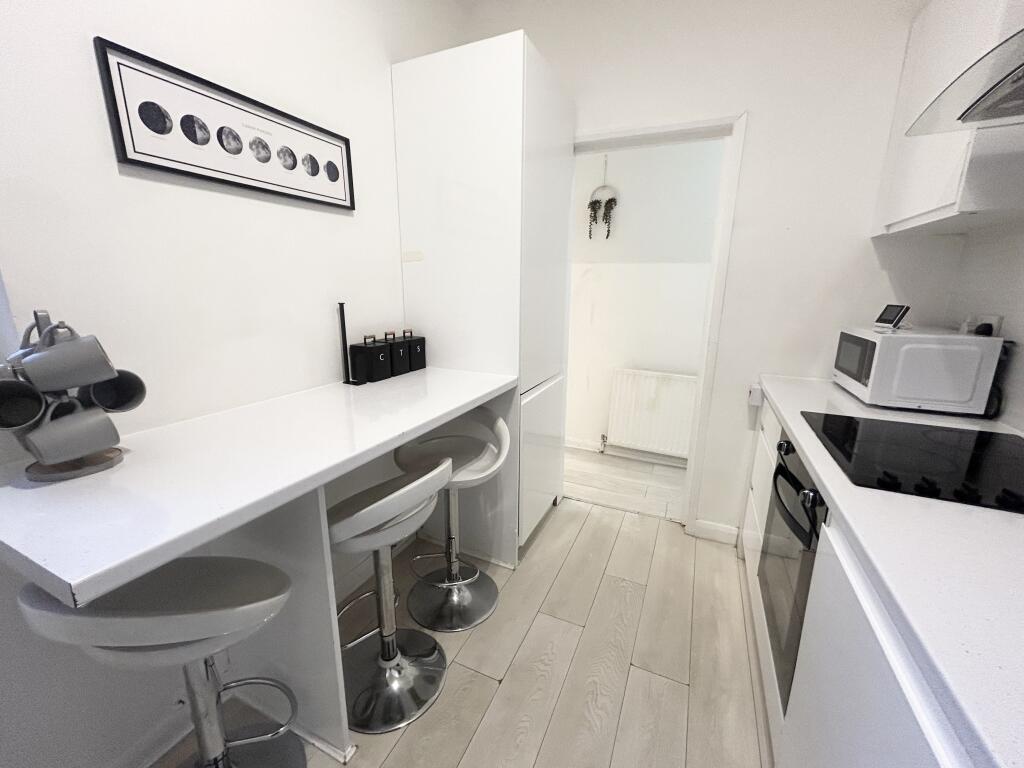
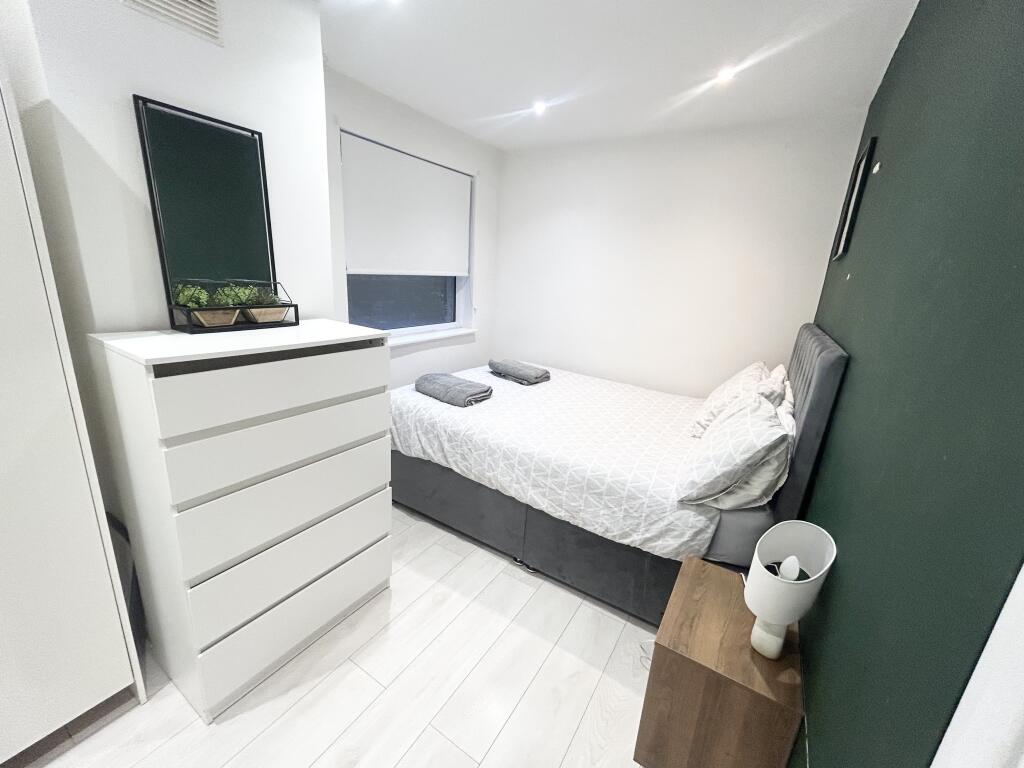
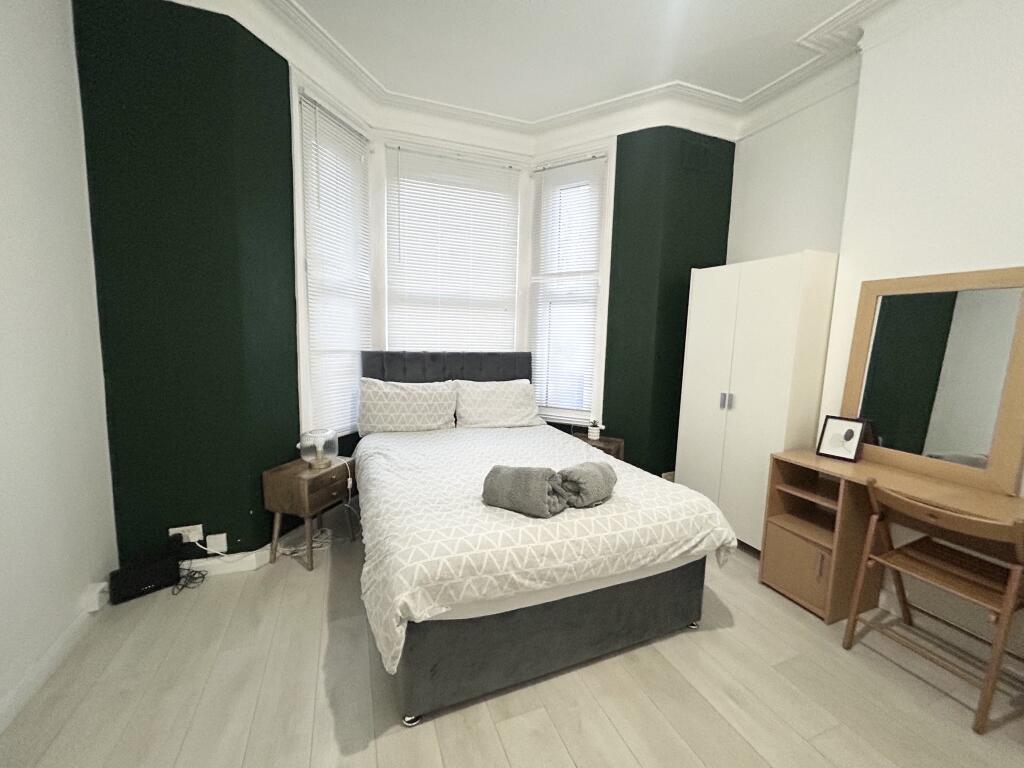
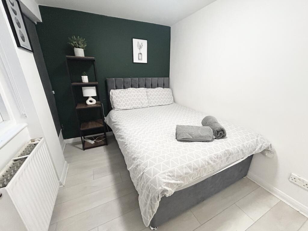
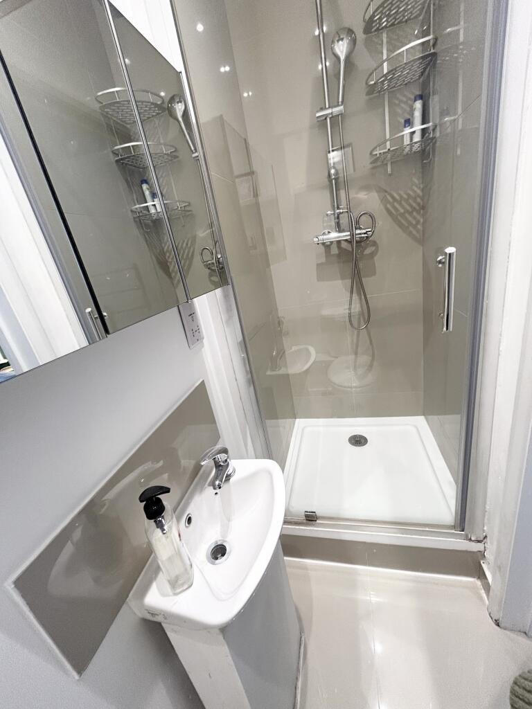
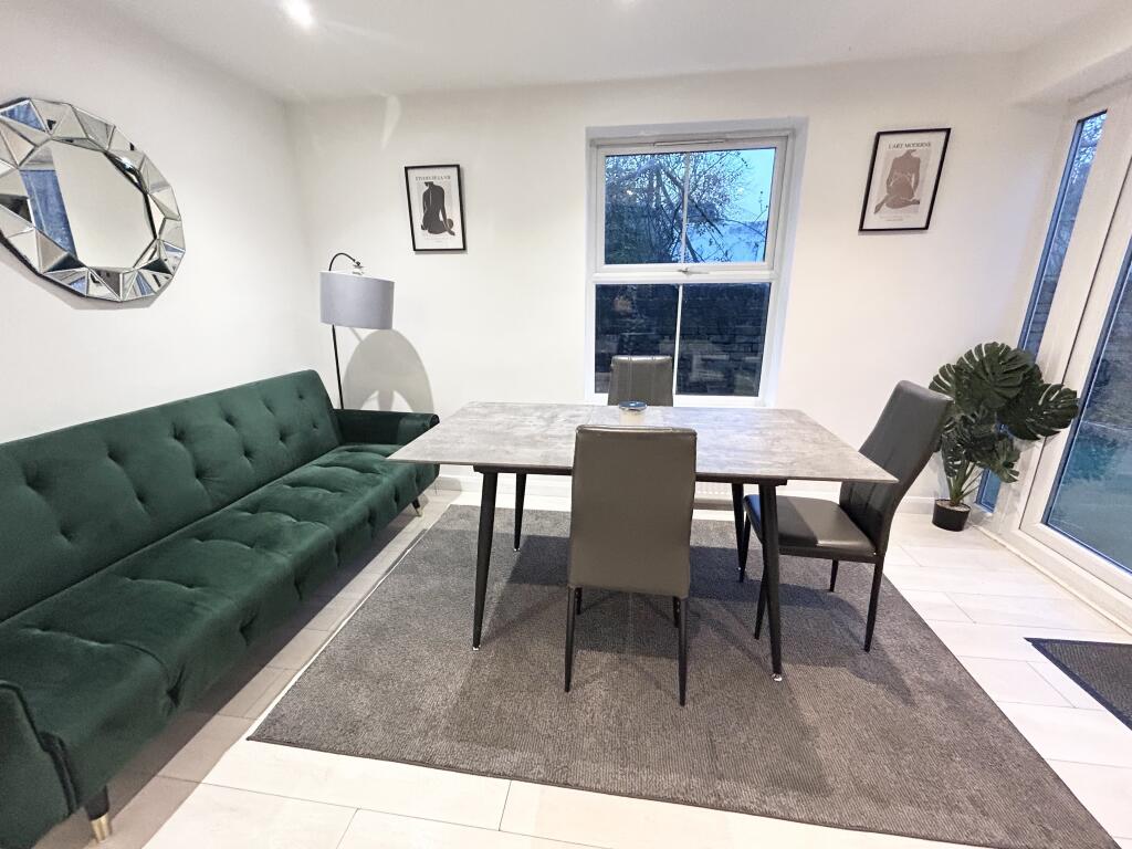
Nearby Streets
| Name | Average Price | Average Sqft | Distance |
|---|---|---|---|
| Carlton Vale | £ 0 | 0 | 0.00 KM |
| Kilburn Lane | £ 950,000 | 0 | 0.00 KM |
| Bravington Road | £ 565,000 | 0 | 0.00 KM |
| Premier Corner | £ 0 | 0 | 0.00 KM |
| Dart Street | £ 442,500 | 0 | 0.00 KM |
Nearby Transport
| Name | NLC | TLC | Distance |
|---|---|---|---|
| Queens Park (London) | 1419 | QPW | 0.30 KM |
| Brondesbury Park | 1438 | BSP | 1.25 KM |
| Kilburn High Road | 1415 | KBN | 1.37 KM |
| Brondesbury | 1437 | BSY | 1.50 KM |
| Kensal Rise | 1448 | KNR | 1.86 KM |
Nearby Listings
| Address | Price | Type | Score | Distance |
|---|---|---|---|---|
| Ashmore Road London W9 | £ 2,750 | RENT | Unknown | 0.02 KM |
| Ashmore Road, London, Queens Park | £ 2,350 | RENT | Unknown | 0.03 KM |
| Ashmore Road Maida Vale London W9 | £ 550 | RENT | Unknown | 0.06 KM |
| Ashmore Road Maida Vale London W9 | £ 525 | RENT | Unknown | 0.06 KM |
| Fernhead Road, London, W9 | £ 3,700 | RENT | Unknown | 0.06 KM |
Nearby Properties
| Address | Price | Distance |
|---|---|---|
| 223a Ashmore Road | £ 650,000 | 0.02 KM |
| 179 Ashmore Road | £ 410,000 | 0.02 KM |
| 181 Ashmore Road | £ 682,000 | 0.02 KM |
| 215b Ashmore Road | £ 330,000 | 0.02 KM |
| 215d Ashmore Road | £ 180,000 | 0.02 KM |