
HA
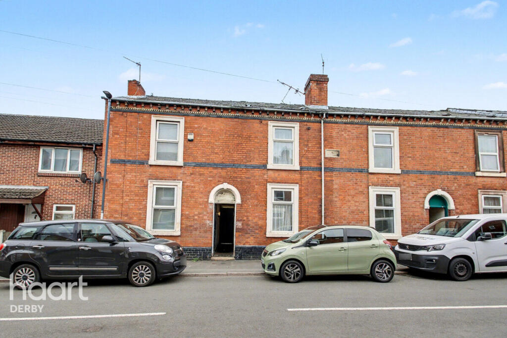
Dean Street, Derby
By haart
£ 950
haart says ..
**AVAILABLE NOW**NO DEPOSIT OPTION AVAILABLE**
- Bedrooms
- 3
- Bathrooms
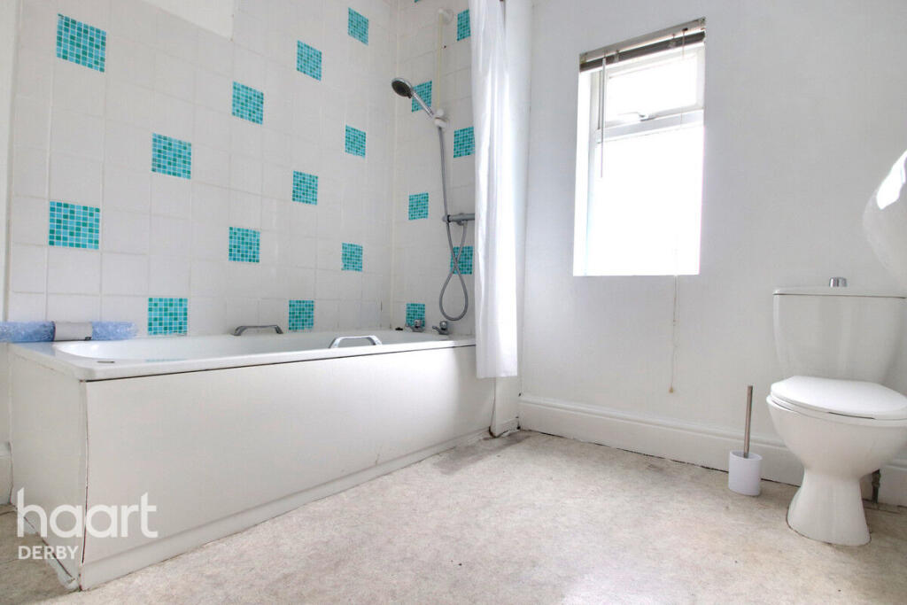
- 1
The heatmap indicates the level of crime in the area. The color of the heatmap indicates the crime severity and recency.
Metrics Year-on-Year
- Average area value
- 350,323.00 £Decreased by 1.18 %
- Average area rental value
- 1,334.00 £/moDecreased by 2.49 %
- Est rental Yield
- 4.57 %Decreased by 1.30 %
- Crime Rate
- 7.00 %Unchanged by 0.00 %
from 354,508.00 £
from 1,368.00 £/mo
from 4.63 %
from 7.00 %
Agent Activity
haart created the listing.
Nearby Schools
| Name | Type | Ofsted | Distance |
|---|---|---|---|
| Bishop Lonsdale Church Of England Primary School And Nursery | Academy Sponsor Led | Good | 0.31 KM |
| Firs Primary School | Academy Sponsor Led | 0.39 KM | |
| Derby Cathedral School | Free Schools | 0.76 KM | |
| The Bemrose School | Foundation School | Good | 0.83 KM |
| Babington Children'S Centre | Children's Centre | 0.94 KM |
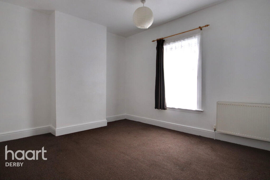
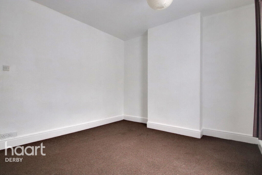
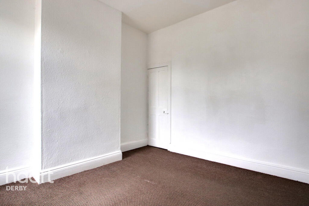
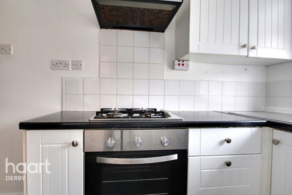
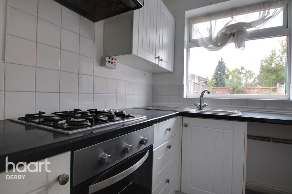
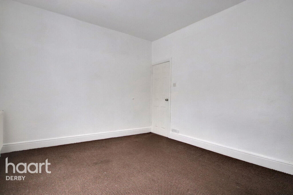
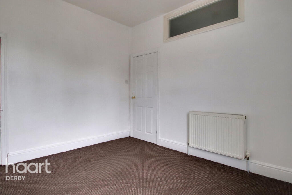
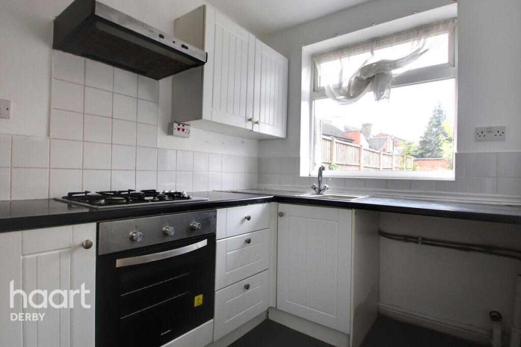
Images


Nearby Streets
| Name | Average Price | Average Sqft | Distance |
|---|---|---|---|
| Freehold Street | £ 175,000 | 0 | 0.00 KM |
| Percy Street | £ 0 | 0 | 0.00 KM |
| Boundary Road | £ 140,000 | 0 | 0.00 KM |
| Summerbrook Court | £ 120,000 | 0 | 0.00 KM |
| French Street | £ 0 | 0 | 0.00 KM |
Nearby Transport
| Name | NLC | TLC | Distance |
|---|---|---|---|
| Peartree | 1687 | PEA | 3.06 KM |
| Derby | 1823 | DBY | 3.39 KM |
| Duffield | 1691 | DFI | 8.20 KM |
| Spondon | 1699 | SPO | 9.17 KM |
Nearby Listings
| Address | Price | Type | Score | Distance |
|---|---|---|---|---|
| Dean Street, Derby | £ 950 | RENT | Unknown | 0.00 KM |
| Dean Street, DERBY | £ 950 | RENT | Unknown | 0.04 KM |
| Dean Street, Derby, DE22 3PR | £ 775 | RENT | Unknown | 0.04 KM |
| Dean Street, Derby | £ 875 | RENT | Unknown | 0.05 KM |
| Dean Street, Derby, Derbyshire, DE22 | £ 900 | RENT | Unknown | 0.05 KM |
Nearby Properties
| Address | Price | Distance |
|---|---|---|
| 20 Dean Street | £ 101,000 | 0.03 KM |
| 15 Dean Street | £ 108,000 | 0.03 KM |
| 22 Dean Street | £ 90,000 | 0.03 KM |
| 17 Dean Street | £ 75,000 | 0.03 KM |
| 13 Dean Street | £ 94,000 | 0.03 KM |