HE
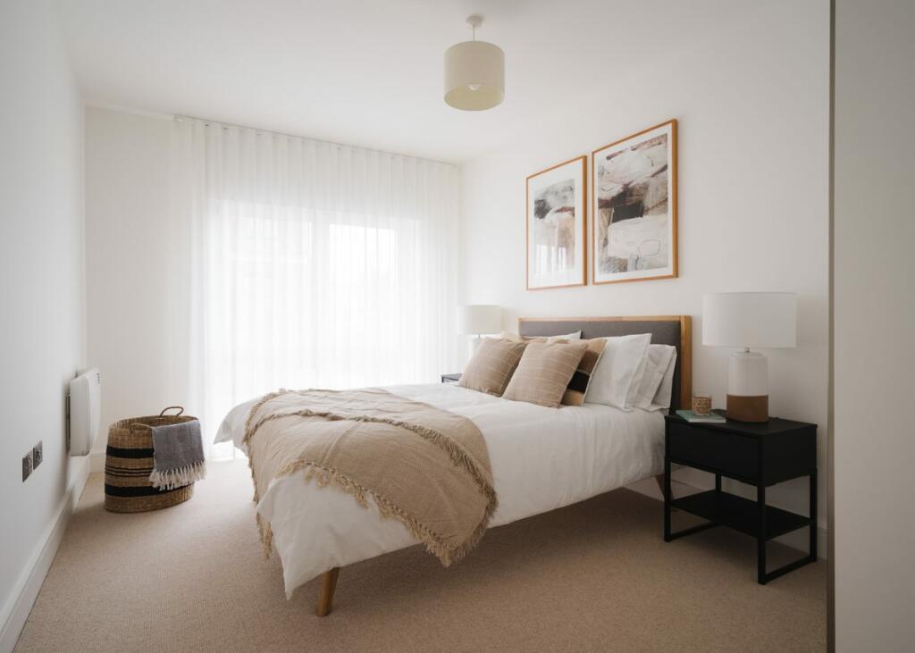
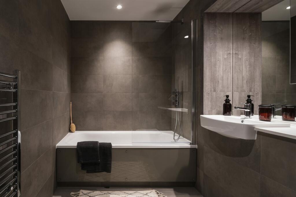
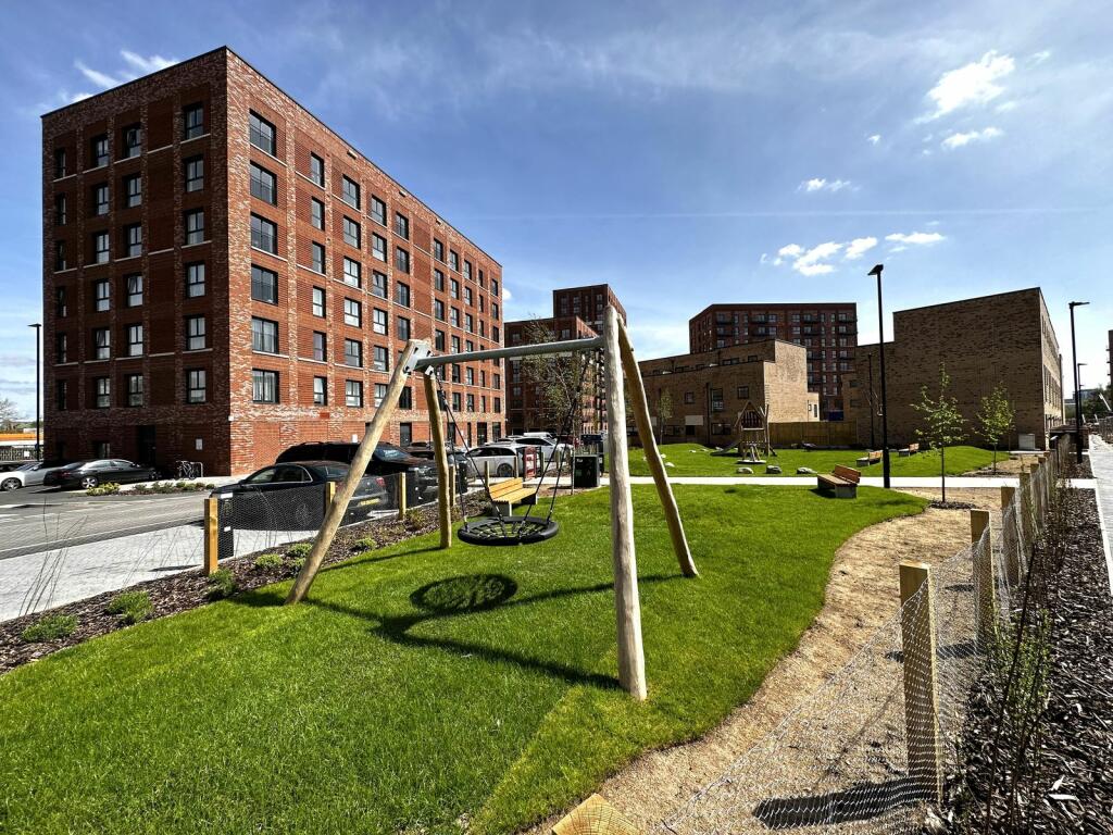
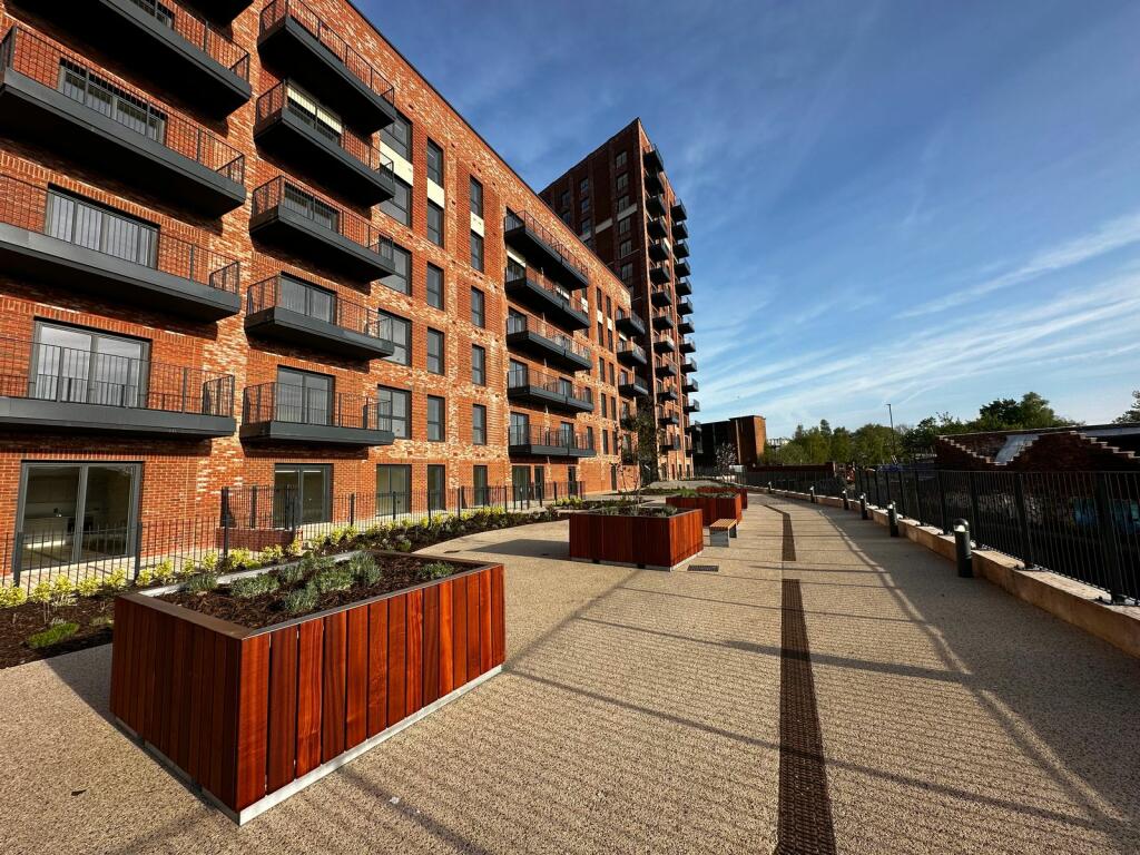
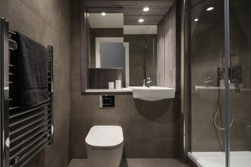
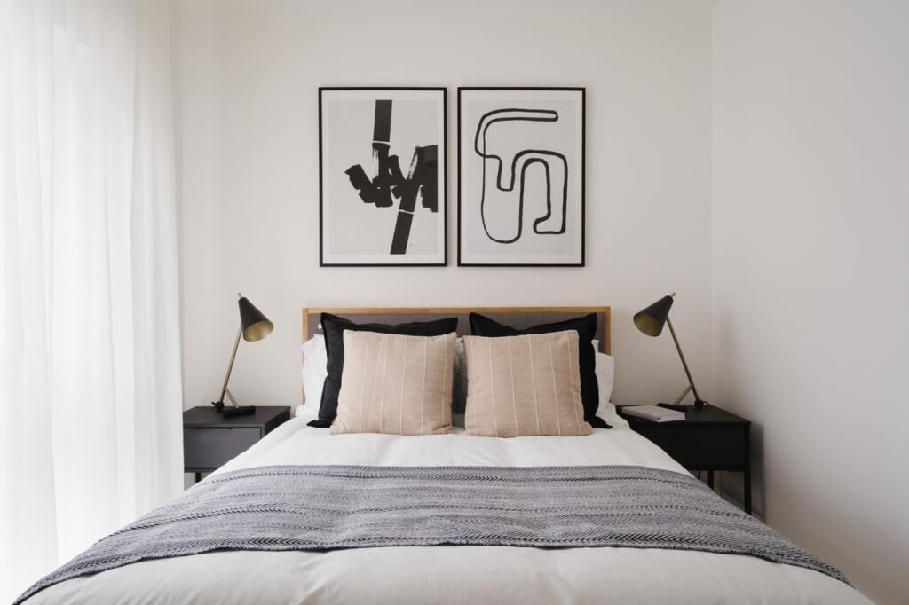
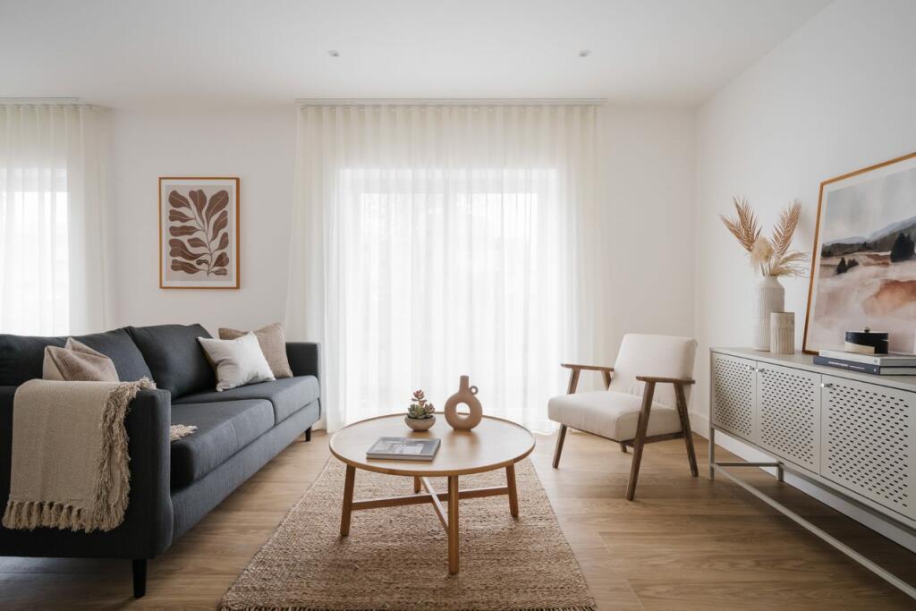
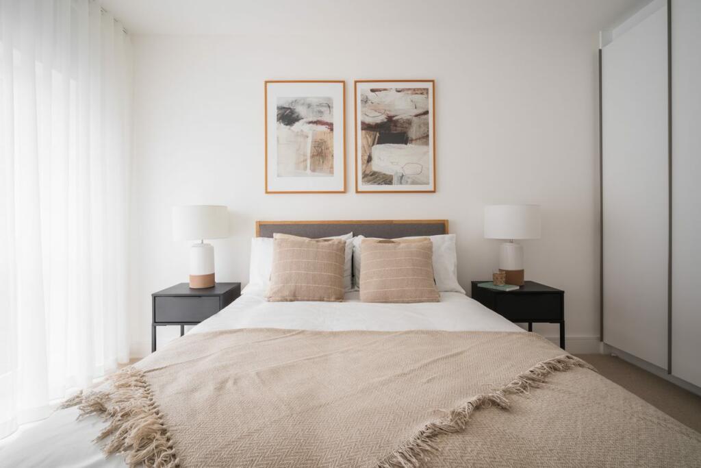
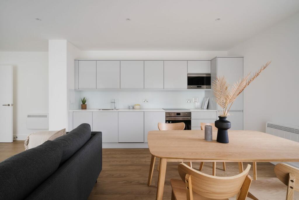
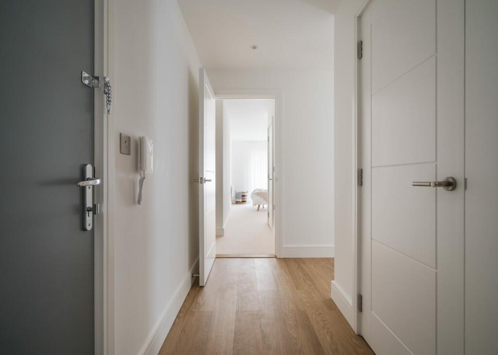
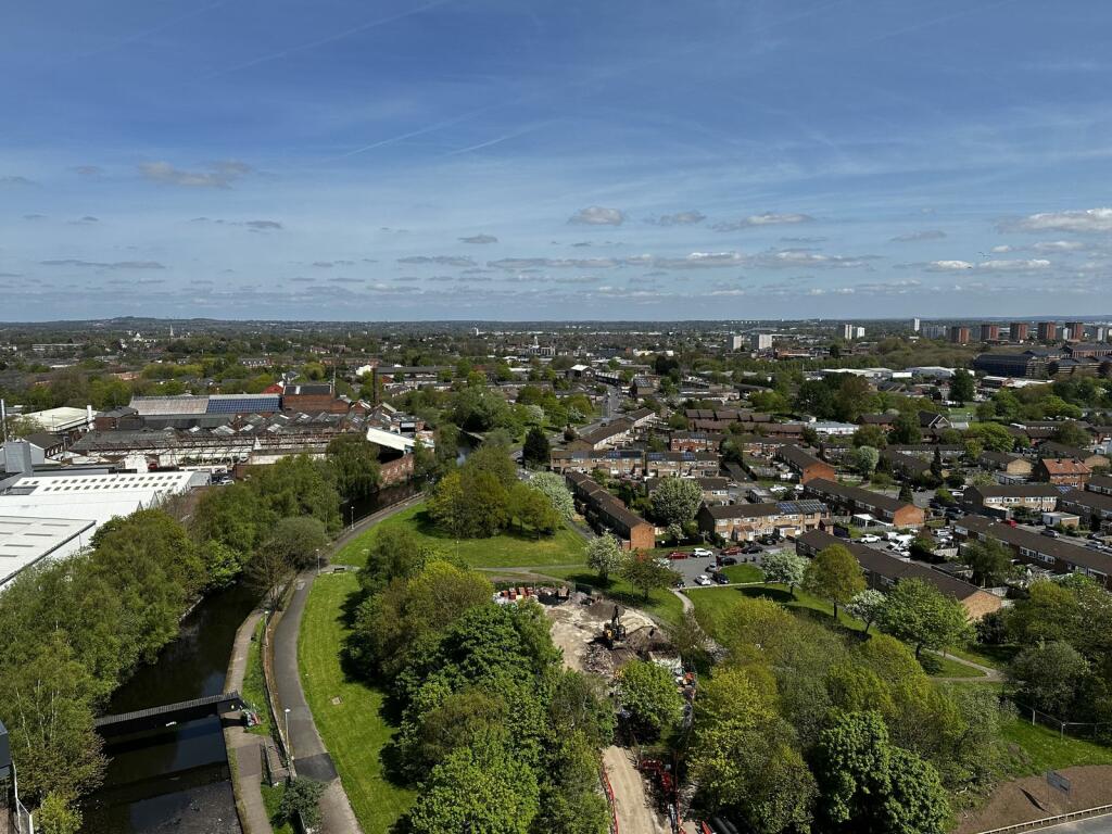
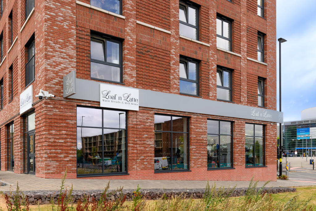
Hooper Street
By Heimstaden UK Ltd
£ 1,265
Heimstaden UK Ltd says ..
.
- Bedrooms
- 2
- Bathrooms
- 2
The heatmap indicates the level of crime in the area. The color of the heatmap indicates the crime severity and recency.
Metrics Year-on-Year
- Average area value
- 371,500.00 £Increased by 6.44 %
- Average area rental value
- 985.00 £/moDecreased by 5.74 %
- Est rental Yield
- 3.18 %Decreased by 11.42 %
- Crime Rate
- 0.00 %
from 349,009.00 £
from 1,045.00 £/mo
from 3.59 %
from 0.00 %
Agent Activity
Heimstaden UK Ltd created the listing.
Nearby Schools
| Name | Type | Ofsted | Distance |
|---|---|---|---|
| St Patrick'S Catholic Primary School | Voluntary Aided School | Good | 0.13 KM |
| Orion School | Other Independent School | 0.23 KM | |
| Barford Primary School | Community School | Good | 0.53 KM |
| Boa Stage And Screen Production Academy | Free Schools 16 To 19 | 0.65 KM | |
| St Edmund'S Catholic Primary School | Voluntary Aided School | Requires improvement | 0.81 KM |
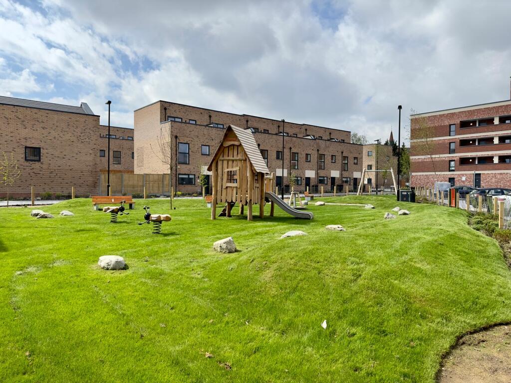
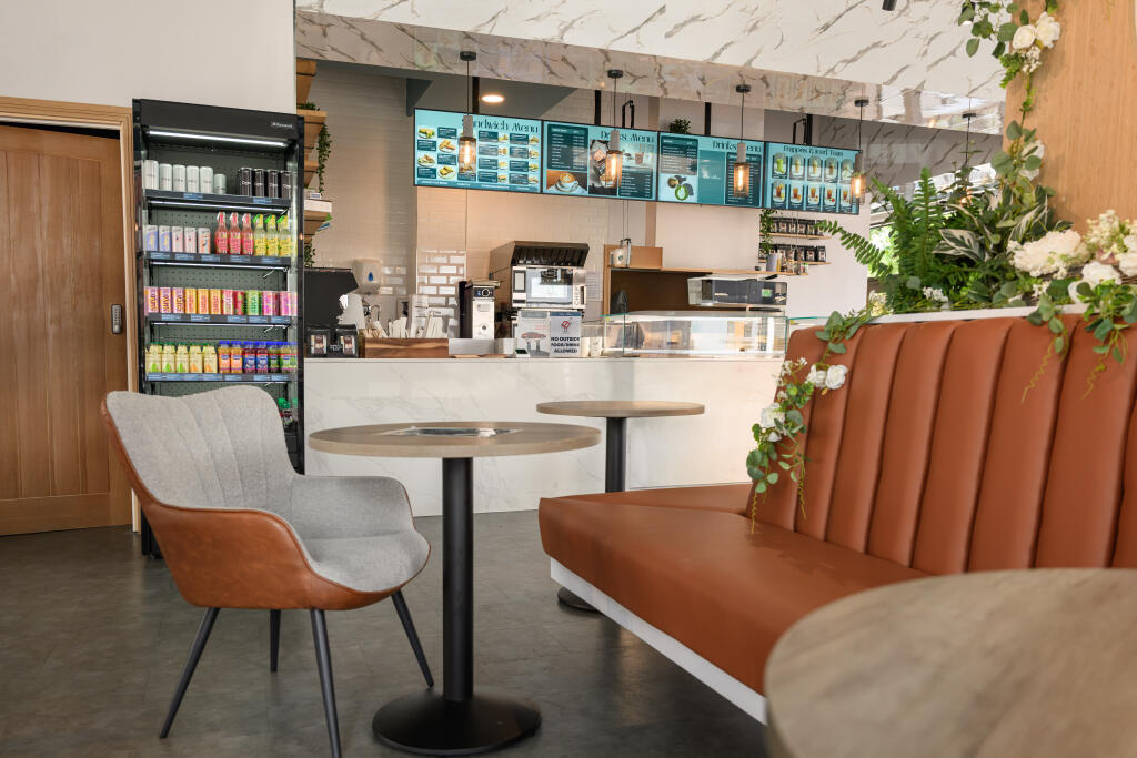
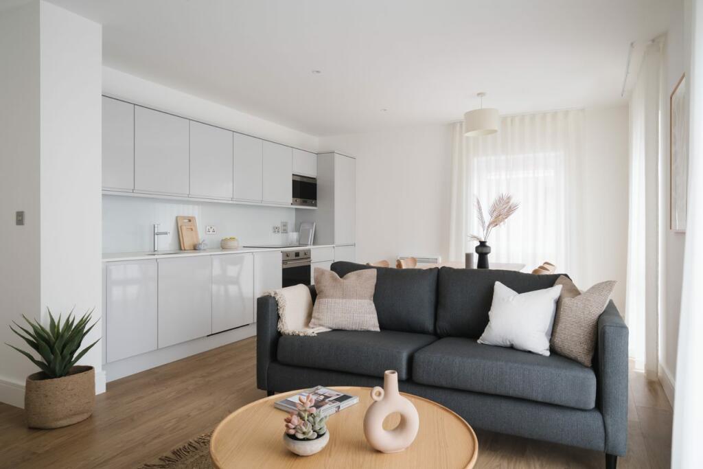
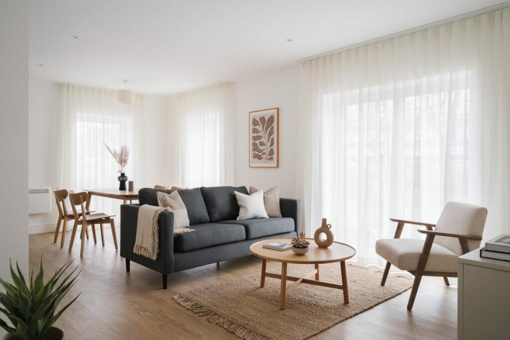
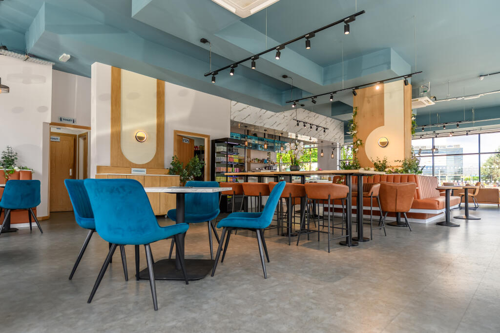
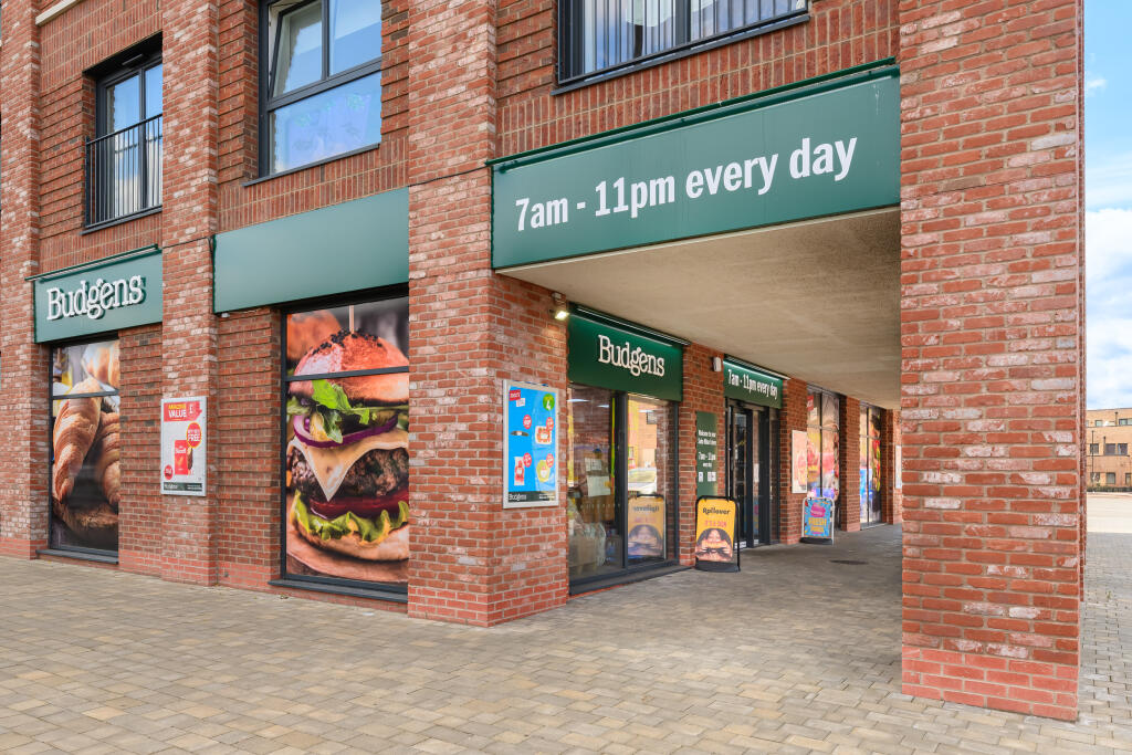
Images


Nearby Streets
| Name | Average Price | Average Sqft | Distance |
|---|---|---|---|
| Soho Loop Street | £ 0 | 0 | 0.00 KM |
| Hooper Street | £ 0 | 0 | 0.00 KM |
| The Limes | £ 0 | 0 | 0.00 KM |
| Clissold Passage | £ 0 | 0 | 0.00 KM |
| South Loop Square | £ 453,333 | 0 | 0.00 KM |
Nearby Transport
| Name | NLC | TLC | Distance |
|---|---|---|---|
| Jewellery Quarter | 1097 | JEQ | 1.94 KM |
| Five Ways | 4503 | FWY | 2.56 KM |
| Birmingham New Street | 1127 | BHM | 3.47 KM |
| Birmingham Snow Hill | 1006 | BSW | 3.48 KM |
| University (Birmingham) | 4504 | UNI | 3.95 KM |
Nearby Listings
| Address | Price | Type | Score | Distance |
|---|---|---|---|---|
| Hooper Street | £ 1,265 | RENT | Unknown | 0.00 KM |
| Soho Wharf | £ 957 | RENT | Unknown | 0.04 KM |
| Soho Wharf | £ 1,604 | RENT | Unknown | 0.05 KM |
| Soho Wharf | £ 1,787 | RENT | Unknown | 0.06 KM |
| Soho Wharf | £ 1,787 | RENT | Unknown | 0.06 KM |
Nearby Properties
| Address | Price | Distance |
|---|---|---|
| 44 Northbrook Street | £ 108,000 | 0.19 KM |
| 57 Northbrook Street | £ 105,000 | 0.19 KM |
| 48 Northbrook Street | £ 82,000 | 0.19 KM |
| 51 Northbrook Street | £ 91,000 | 0.19 KM |
| 60 Marroway Street | £ 124,500 | 0.23 KM |