LI
Westlands Way, Leven, Beverley,
By Lime HU17 Ltd
£ 625
Lime HU17 Ltd says ..
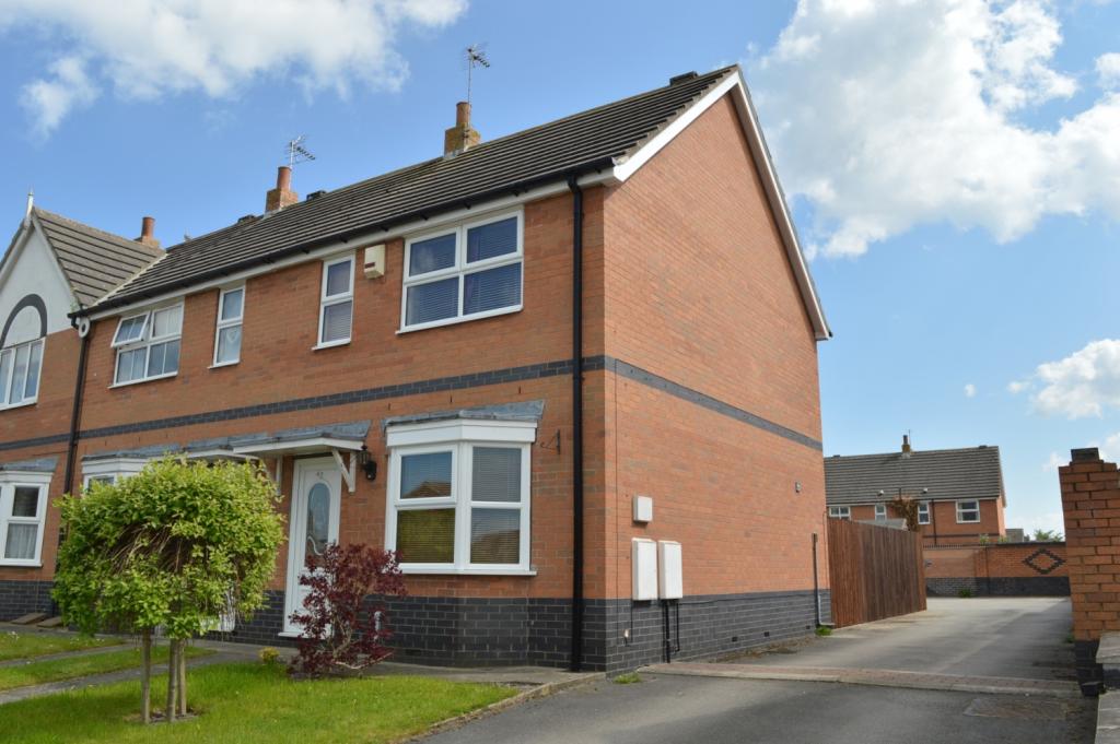
Rarely Available Family Home !!
- Bedrooms
- 2
- Bathrooms
- 1
The heatmap indicates the level of crime in the area. The color of the heatmap indicates the crime severity and recency.
Metrics Year-on-Year
- Average area value
- 311,549.00 £Decreased by 37.57 %
- Average area rental value
- 1,023.00 £/moDecreased by 5.28 %
- Est rental Yield
- 3.94 %Increased by 51.54 %
- Crime Rate
- 35.00 %Unchanged by 0.00 %
from 499,071.00 £
from 1,080.00 £/mo
from 2.60 %
from 35.00 %
Agent Activity
Lime HU17 Ltd created the listing.
Nearby Schools
| Name | Type | Ofsted | Distance |
|---|---|---|---|
| Leven Church Of England Voluntary Controlled Primary School | Voluntary Controlled School | Good | 0.61 KM |
| Brandesburton Primary School | Community School | Good | 3.50 KM |
| Riston Church Of England Primary Academy | Academy Converter | 4.73 KM | |
| Tickton Church Of England Voluntary Controlled Primary School | Voluntary Controlled School | Good | 7.48 KM |
| North Frodingham Primary School | Community School | Good | 8.05 KM |
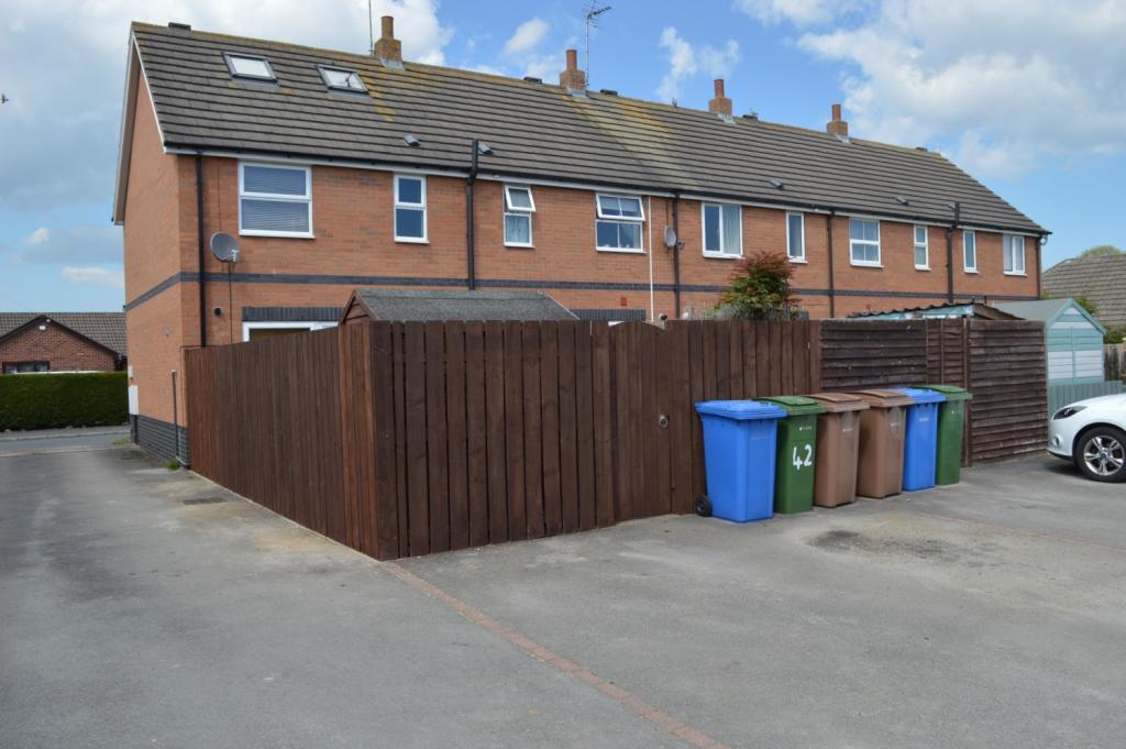
Images
Nearby Streets
| Name | Average Price | Average Sqft | Distance |
|---|---|---|---|
| Kingfisher Close | £ 0 | 0 | 0.00 KM |
| Nursery Walk | £ 465,000 | 0 | 0.00 KM |
| Trinity Close | £ 0 | 0 | 0.00 KM |
| Warren Drive | £ 274,000 | 0 | 0.00 KM |
| Bluebell Drive | £ 0 | 0 | 0.00 KM |
Nearby Listings
| Address | Price | Type | Score | Distance |
|---|---|---|---|---|
| Church Drive, HU17 | £ 640 | RENT | Unknown | 0.21 KM |
| Farriers Walk, HU17 5JZ | £ 1,200 | RENT | Unknown | 0.30 KM |
Nearby Properties
| Address | Price | Distance |
|---|---|---|
| 64 Westlands Way | £ 108,000 | 0.05 KM |
| 19 Westlands Way | £ 325,000 | 0.05 KM |
| 36 Westlands Way | £ 160,500 | 0.05 KM |
| 66 Westlands Way | £ 115,000 | 0.05 KM |
| 8 Westlands Way | £ 165,000 | 0.05 KM |