
Dove Lane C, Westward Ho, Bideford, Devon, EX39
By Greenslade Taylor Hunt
£ 424,950
Reviews
3 out of 5 stars
Greenslade Taylor Hunt says ..
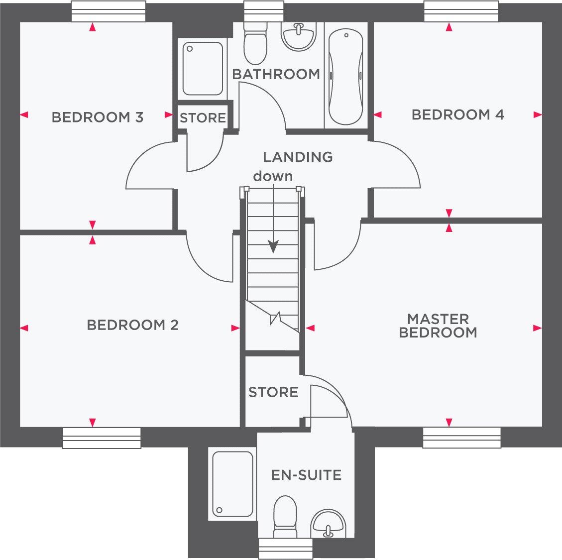
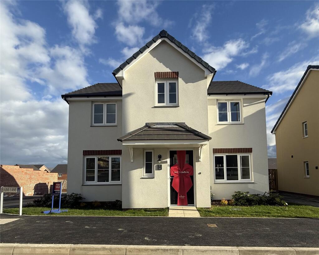
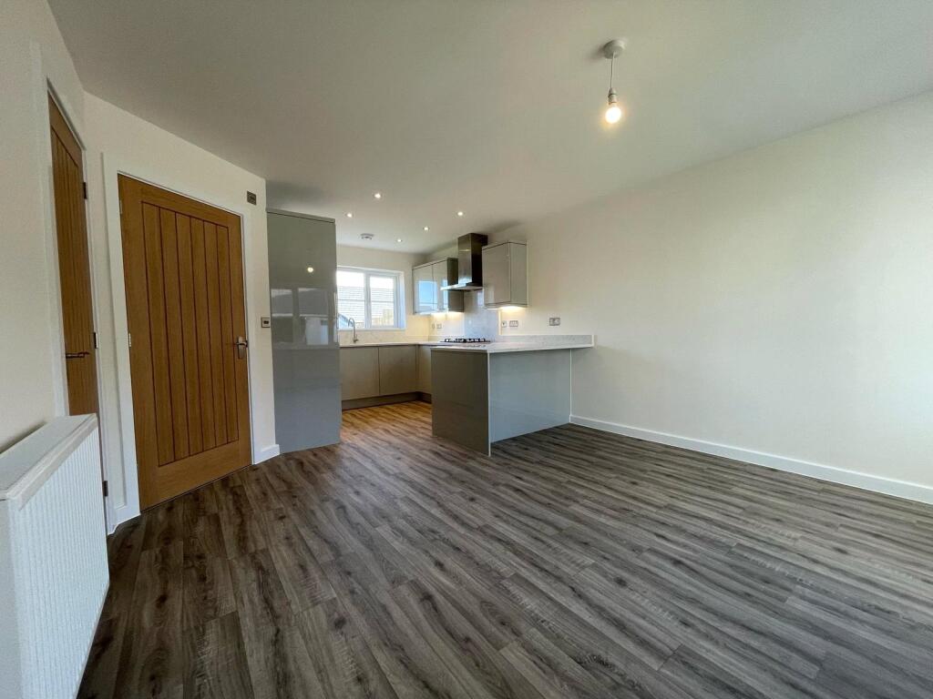
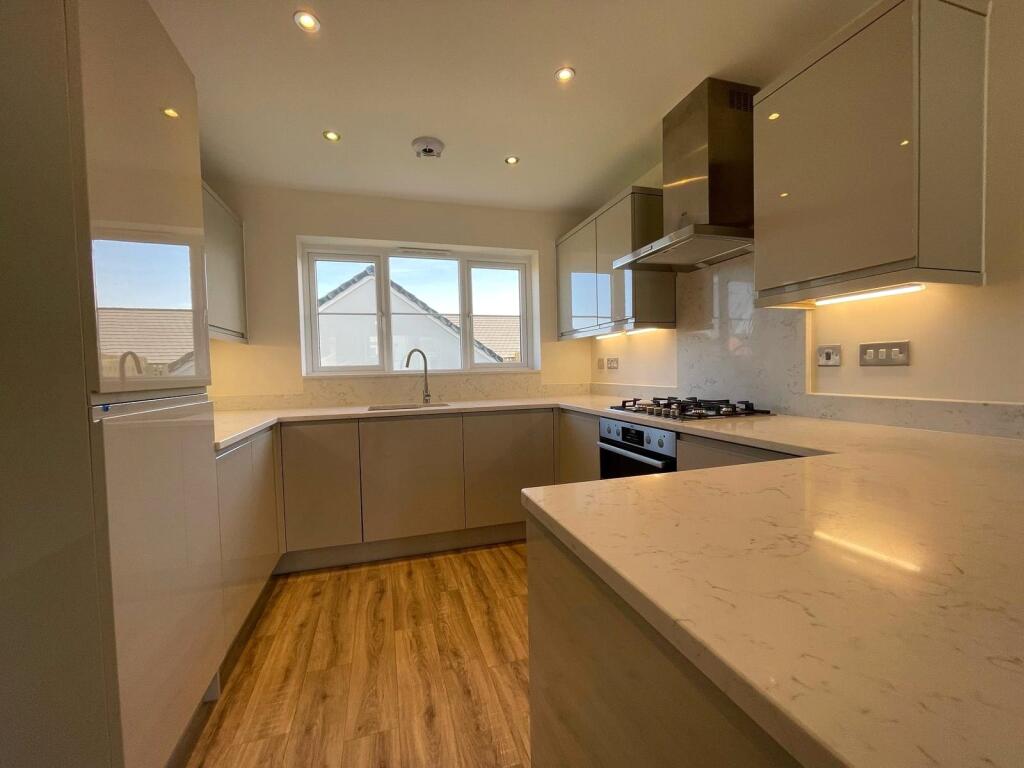
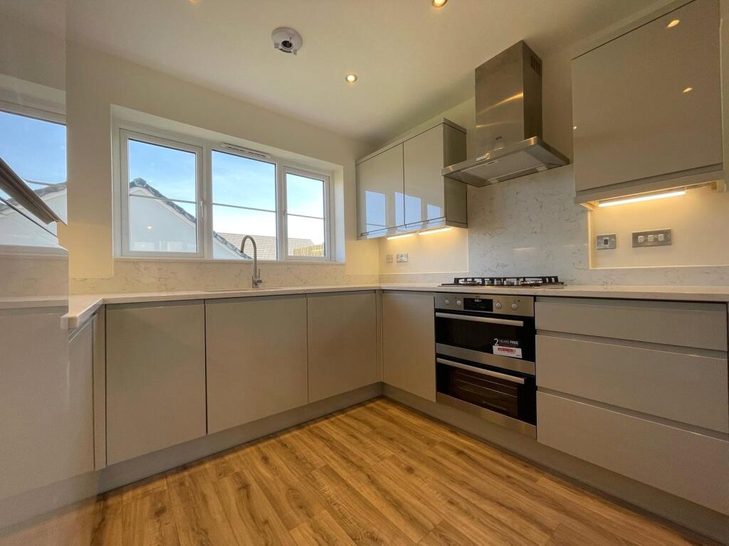
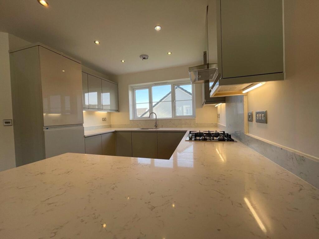
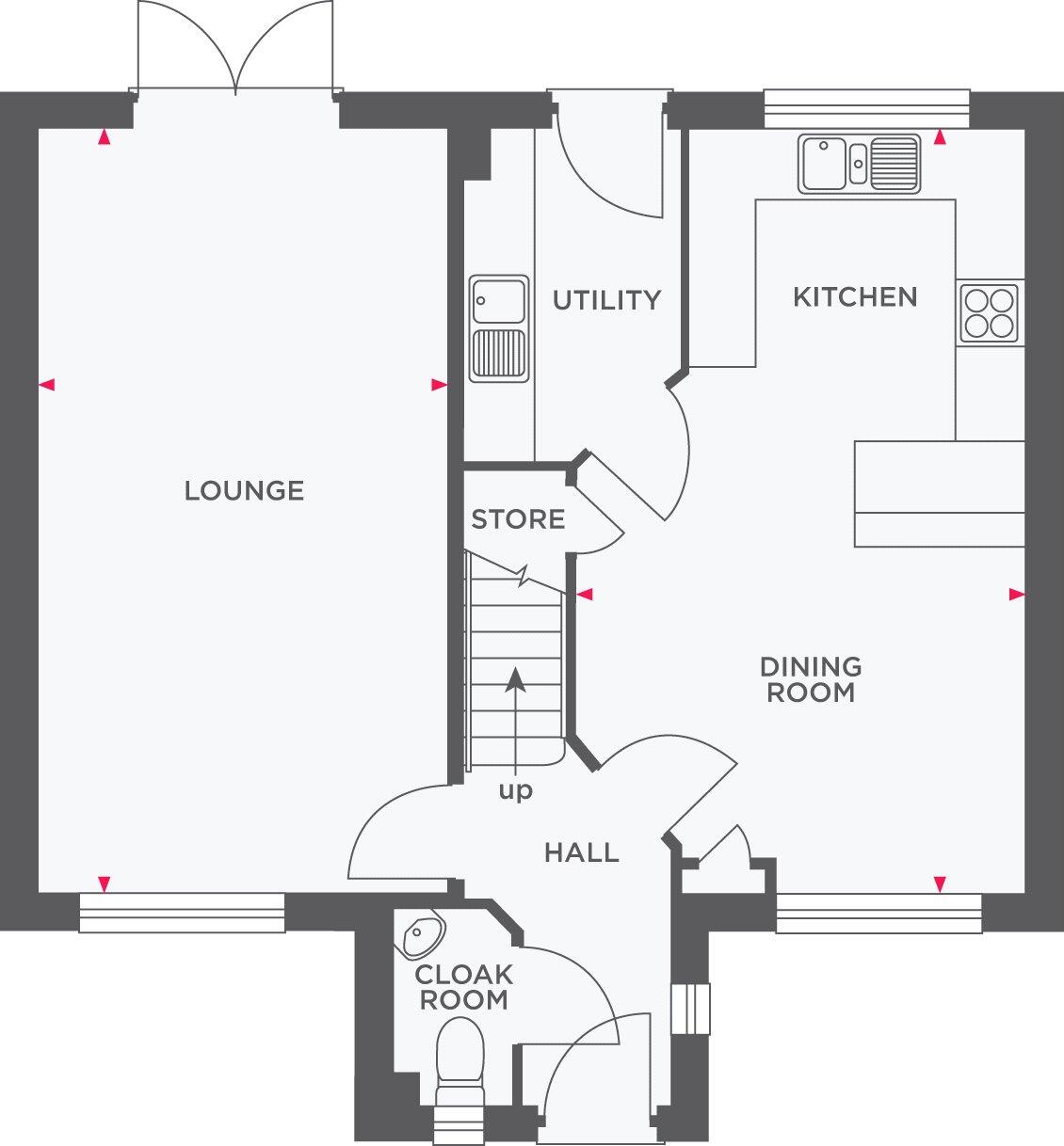
STAMP DUTY PAID! Plot 129, The Davy is a four bedroom detached home with plenty of kerb appeal, which you'll get to enjoy every time you arrive home. The ground floor is home to an open plan kitchen/family dining room, where you'll find plenty of space for dining, socialising and enter...
Property Oracle says ..
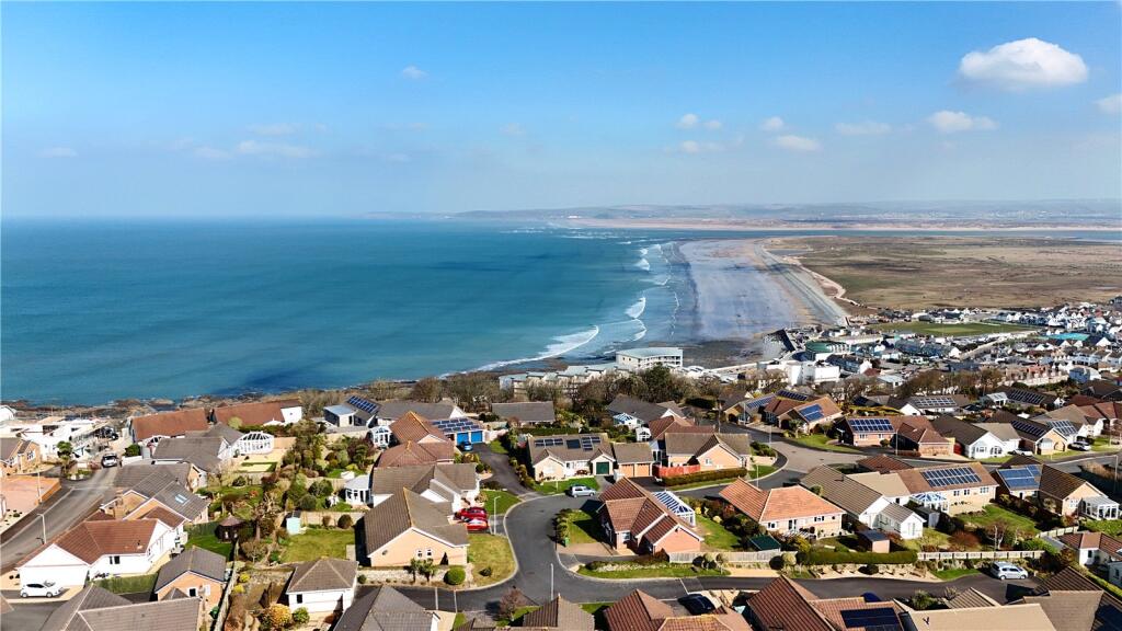
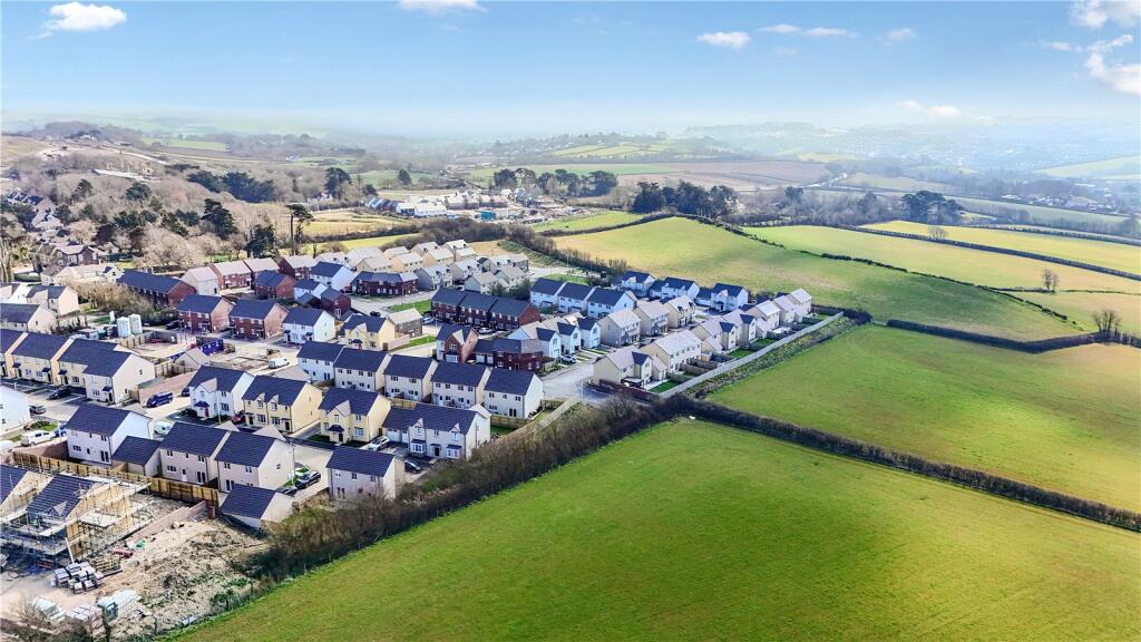
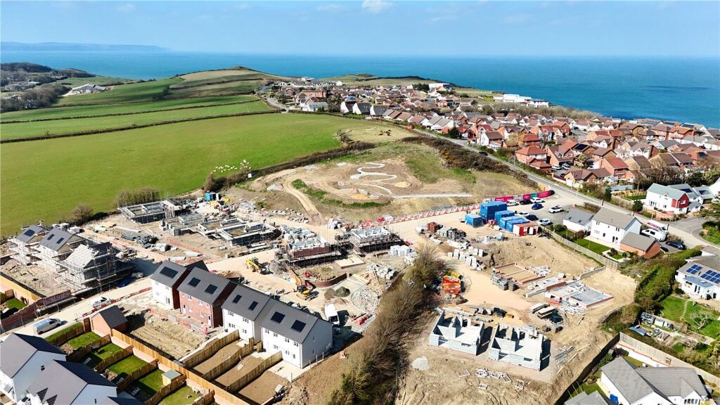
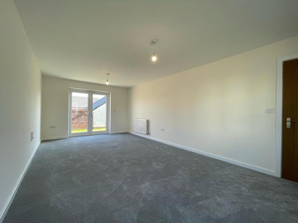
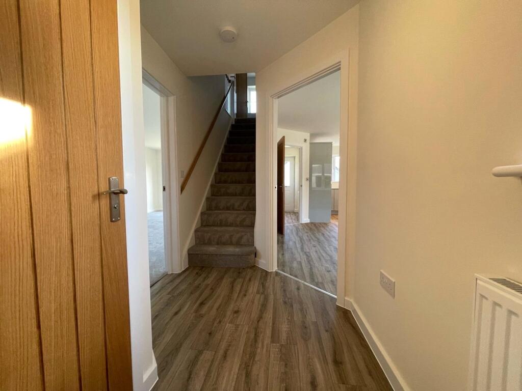
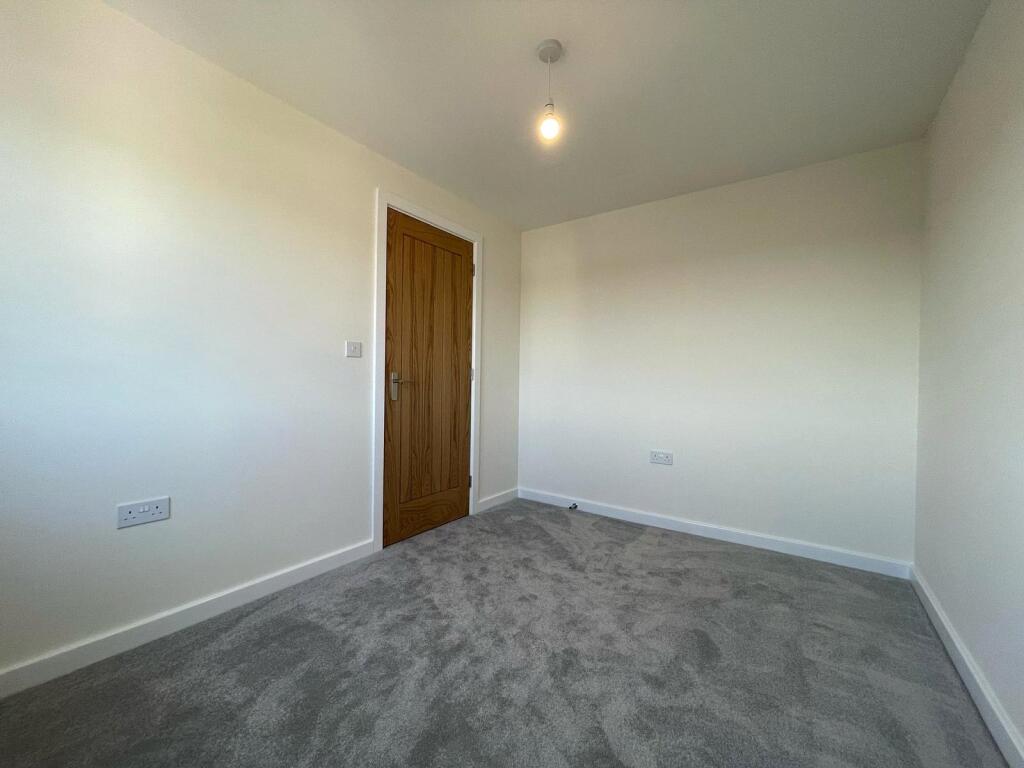
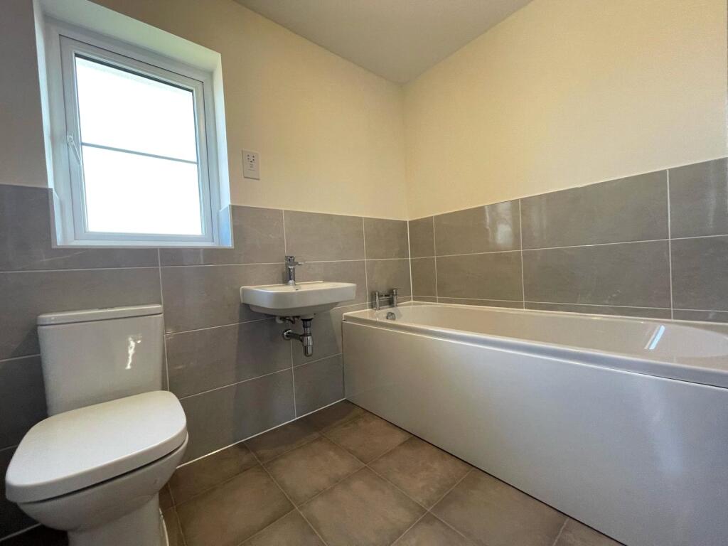
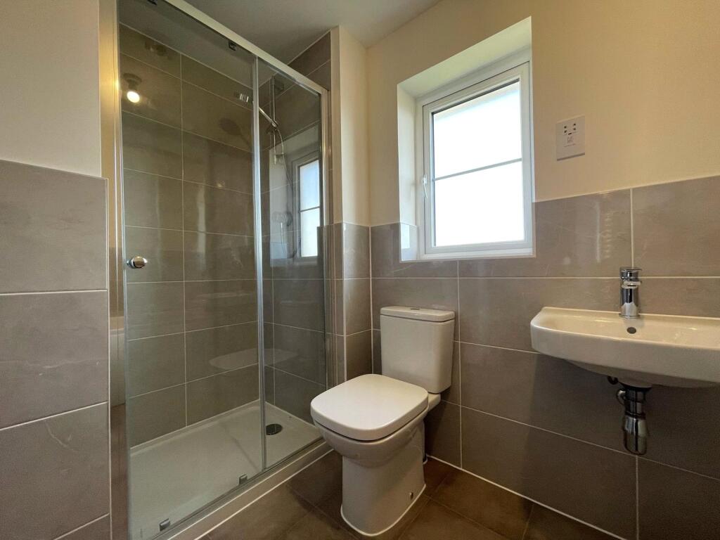
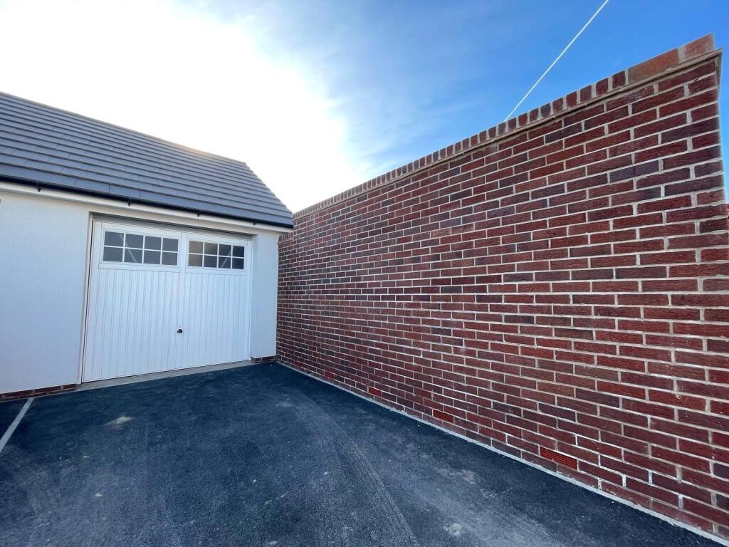
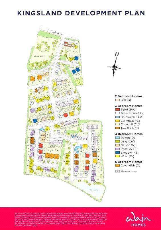
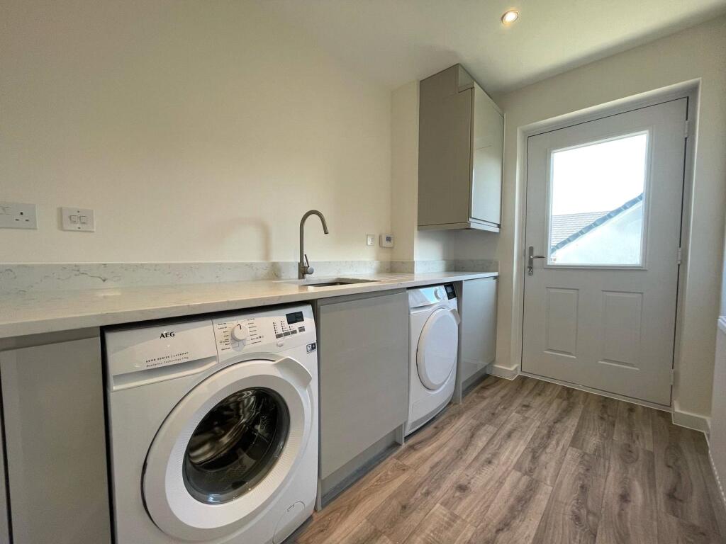
The property located at Dove Lane C, Westward Ho, Bideford, Devon, EX39 is a 4-bedroom, 2-bathroom detached house listed at £424,950. The property is part of a new Wain Homes development, Kingsland, as evidenced by the provided site plan and external photographs. The images show a modern, newly built property with a contemporary kitchen, bathrooms, and flooring. The property includes a garage and appears to have a small, enclosed rear garden.
The average house price in the area is £394,056, with an average price per square foot of £211. While the property’s square footage (1,150 sq ft) is significantly smaller than the area average (1,867 sq ft), its list price is only slightly higher than the average price. Given the modern condition and inclusion of a garage, the price may be reasonable for this specific development, although a direct comparison to similar properties in the area is difficult due to the lack of sqft data for nearby listings. The proximity to schools, while not immediately adjacent, appears acceptable, with several schools within a reasonable distance. However, information on transportation links is missing, which may affect the overall desirability of the location. More information on the plot size would also be helpful in assessing the land score accurately.
Therefore, we give this property 7 / 10. *Disclaimer: This is our option and does constitute a recommendation or financial advice. Do your own research. *
- Price
- 7
- Condition
- 10
- Location
- 7
- Land
- 6
- Bedrooms
- 4
- Bathrooms
- 2
- Sqft (est)
- 1,150.00
The heatmap indicates the level of crime in the area. The color of the heatmap indicates the crime severity and recency.
Metrics Year-on-Year
- Average area value
- 421,797.00 £Increased by 27.32 %
- Est sale value
- 533,600.00 £Increased by 66.31 %
- Average area rental value
- 913.00 £/moIncreased by 18.73 %
- Est letting value
- 1,150.00 £/mo
- Est rental Yield
- 2.60 %Decreased by 6.81 %
- Crime Rate
- 10.00 %Unchanged by 0.00 %
Agent Activity
Greenslade Taylor Hunt created the listing.
Nearby Schools
| Name | Type | Ofsted | Distance |
|---|---|---|---|
| St Margaret'S Church Of England (Aided) Junior School | Voluntary Aided School | Requires improvement | 2.44 KM |
| St George'S Church Of England (Va) Infant And Nursery School | Voluntary Aided School | Good | 2.44 KM |
| St Helen'S Church Of England School | Academy Converter | 2.48 KM | |
| Kingsley School | Other Independent School | 2.50 KM | |
| Bideford College | Academy Sponsor Led | Requires improvement | 2.76 KM |
Images


Nearby Streets
| Name | Average Price | Average Sqft | Distance |
|---|---|---|---|
| Chichester Way | £ 0 | 0 | 0.00 KM |
| Queens Close | £ 0 | 0 | 0.00 KM |
| Park Avenue | £ 395,000 | 0 | 0.00 KM |
| Park View Terrace | £ 0 | 0 | 0.00 KM |
| Pavillion View | £ 487,500 | 0 | 0.00 KM |
Nearby Listings
| Address | Price | Type | Score | Distance |
|---|---|---|---|---|
| Plot 9, The Brancaster, Kingsland, Westward Ho!, Bideford, Devon, EX39 | £ 344,950 | BUY | 7 / 10 | 0.00 KM |
| Plot 4, The Davy, Kingsland, Westward Ho, Bideford, Devon, EX39 | £ 439,950 | BUY | 6 / 10 | 0.00 KM |
| Plot 34, The Baird, Kingsland, Westward Ho!, Bideford, Devon, EX39 | £ 264,950 | BUY | 7 / 10 | 0.00 KM |
| Plot 33, The Baird, Kingsland, Westward Ho!, Bideford, Devon, EX39 | £ 264,950 | BUY | Unknown | 0.00 KM |
| Plot 7, The Sandown, Kingsland, Westward Ho, Bideford, Devon, EX39 | £ 424,950 | BUY | 7 / 10 | 0.00 KM |
Nearby Properties
| Address | Price | Distance |
|---|---|---|
| Kentu | £ 334,000 | 0.00 KM |
| Windsong | £ 168,000 | 0.00 KM |
| Carleton House | £ 675,000 | 0.00 KM |
| Vermont | £ 550,000 | 0.00 KM |
| Donard | £ 172,500 | 0.00 KM |