Sandersons says ..
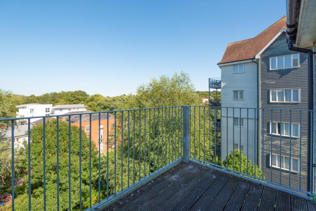
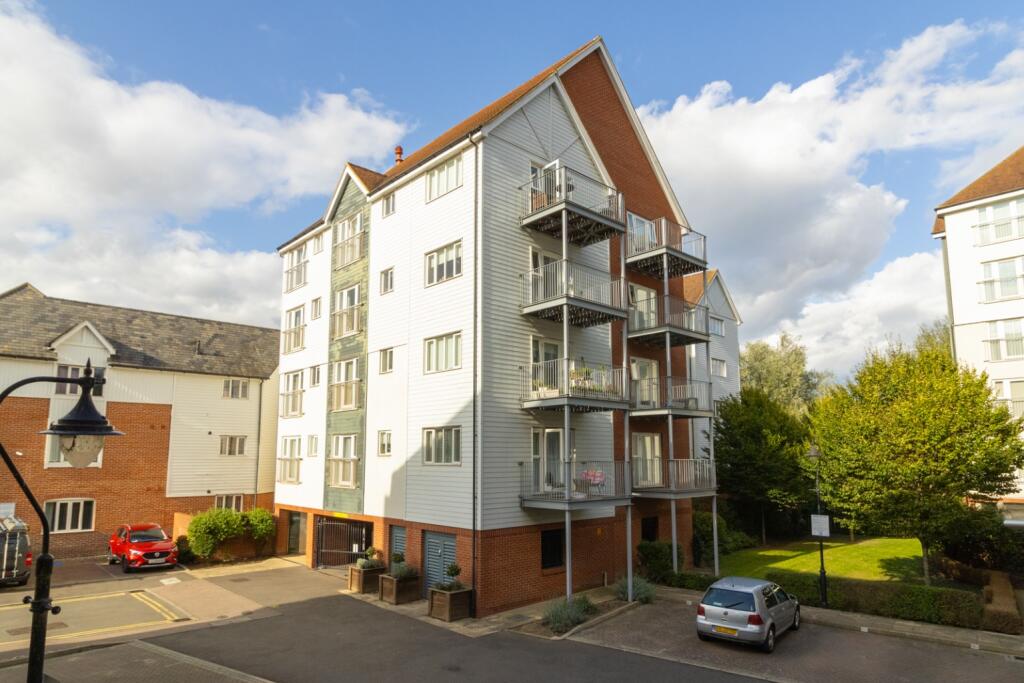
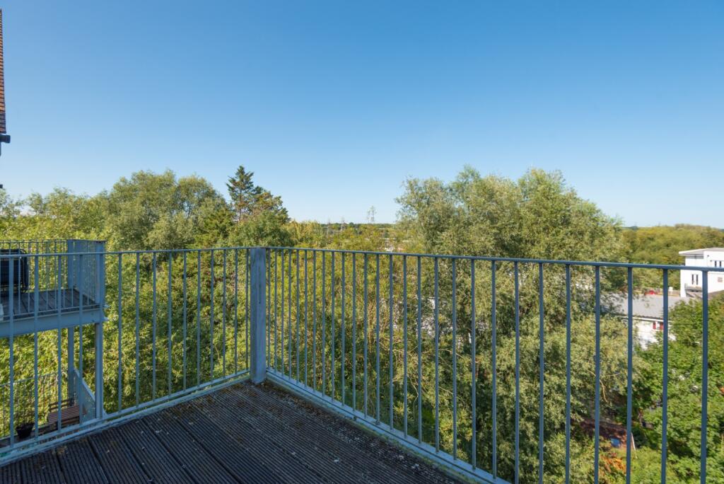
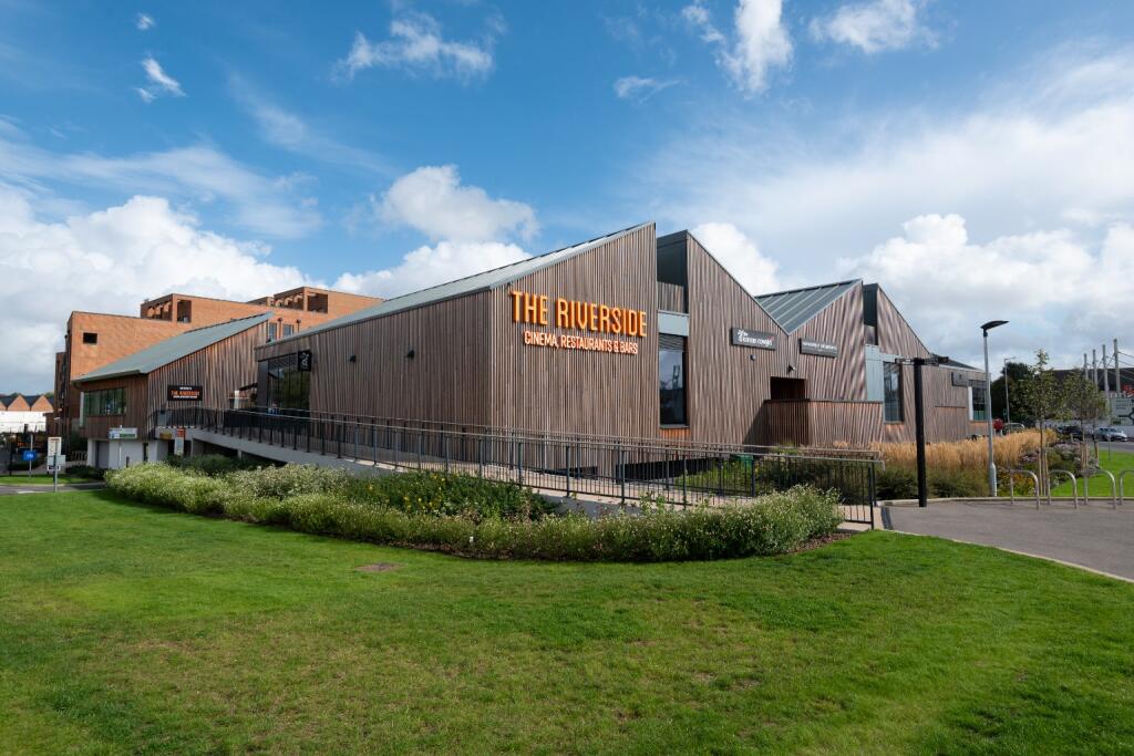
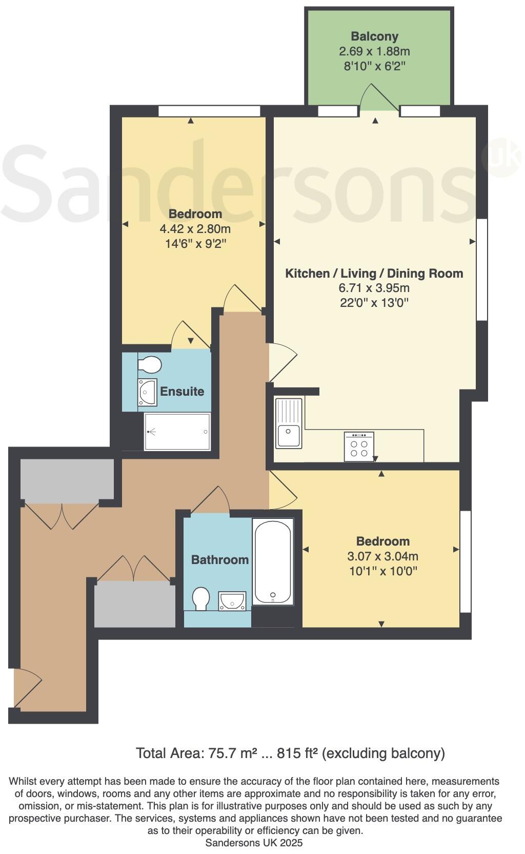
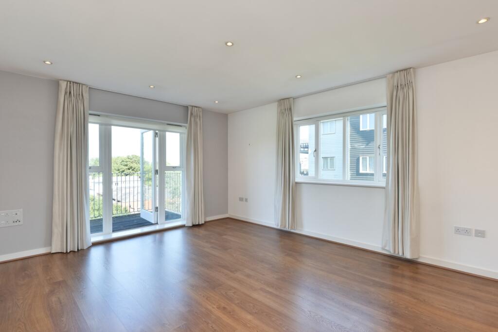
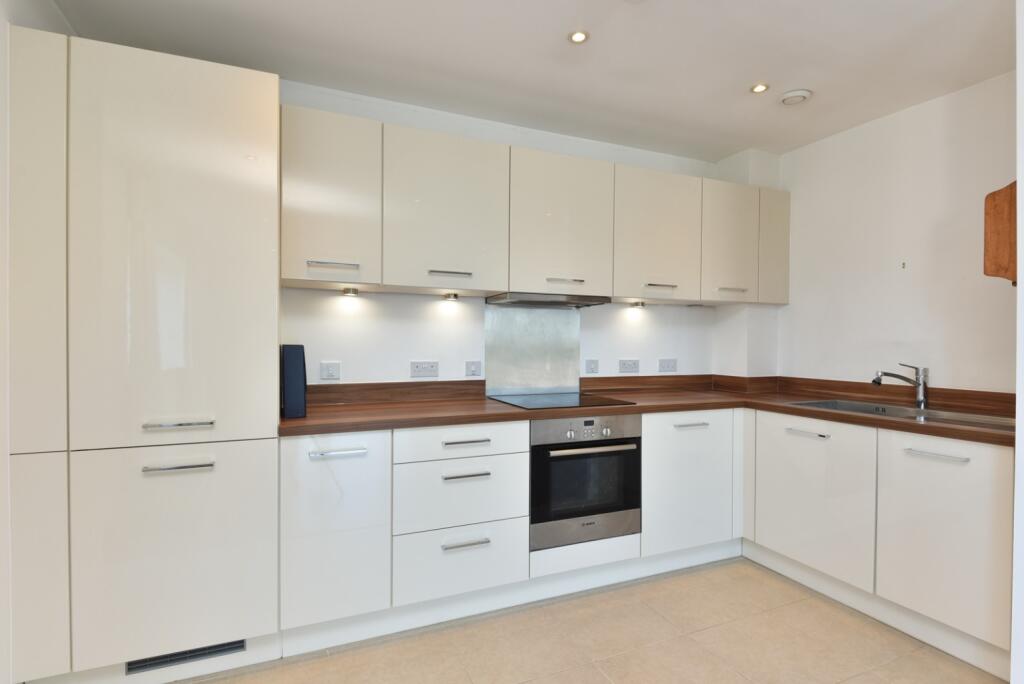
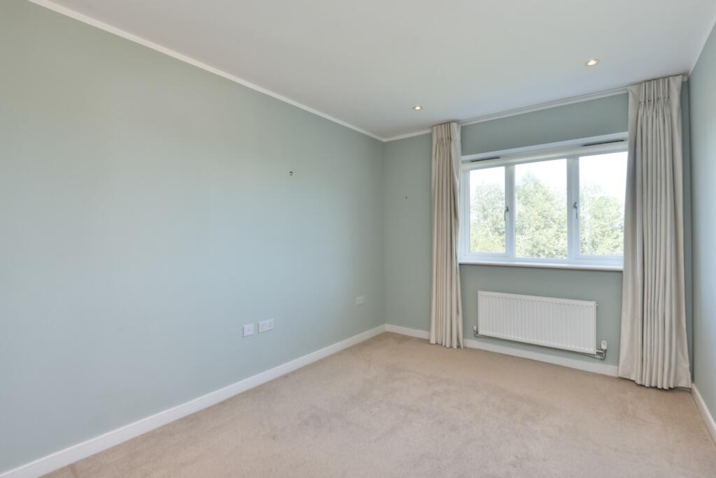
Guide Price £260,000. Light & spacious top floor apartment located in popular Kingsbrook Park development. Open plan kitchen/living & dining room. 2 double bedrooms & 2 bathrooms. balcony with river views & secure allocated parking for 1 car. 0.3 miles from the Riverside Complex.
Property Oracle says ..
This two-bedroom apartment is located on Westwood Drive in Canterbury, Kent. The property offers 814.83 sqft of living space.
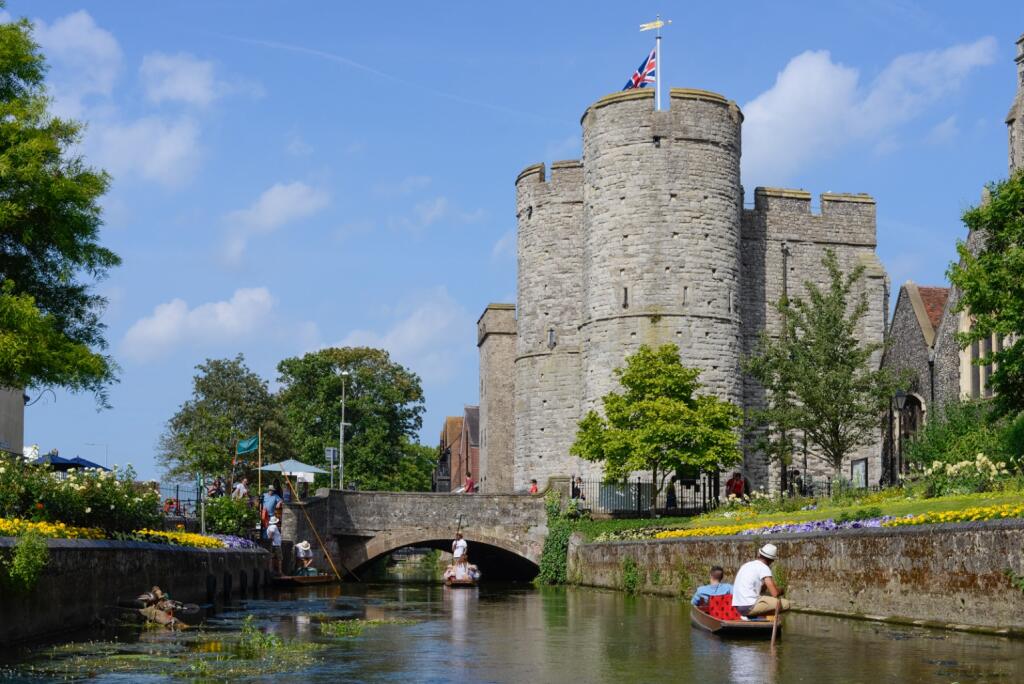
The location benefits from proximity to several schools, including St Thomas’ Catholic Primary School and St Johns Church Of England Primary School. Canterbury West train station is approximately 1.55 km away, providing convenient transportation links.
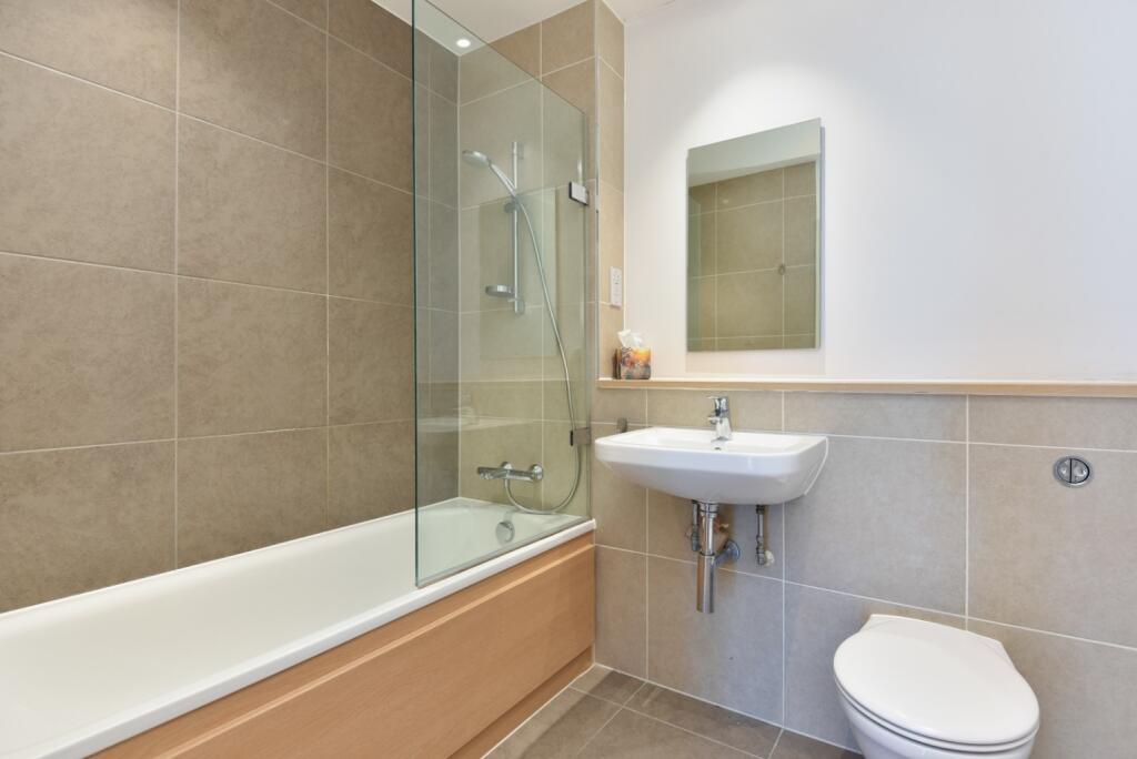
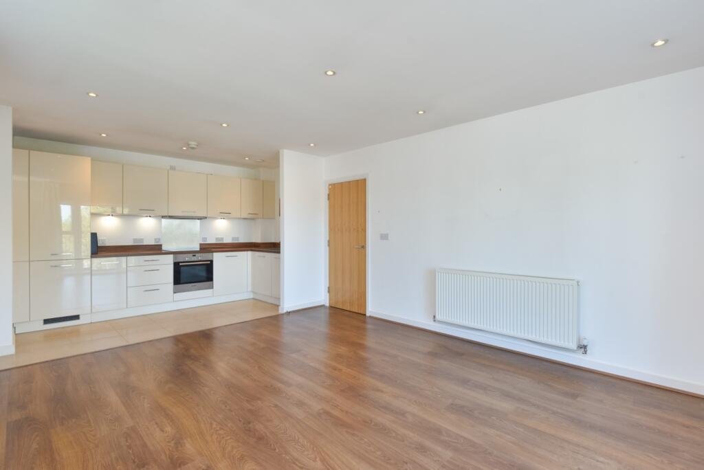
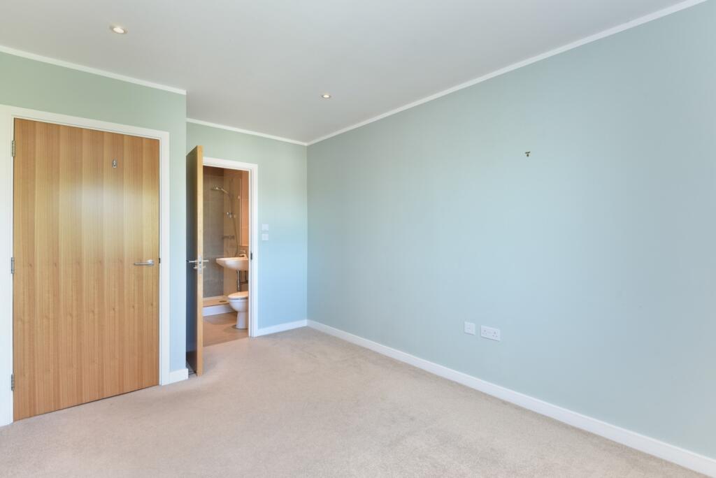
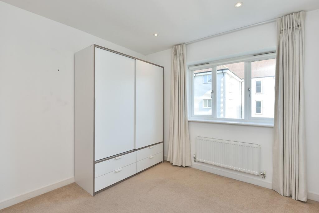
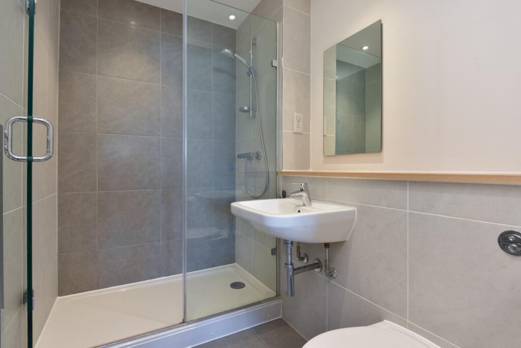
Based on the images, the apartment appears to be in good condition, with modern fixtures and fittings in the kitchen and bathrooms. The property also features a balcony.
The list price is £260,000. The average price per sqft in the area is £592.00. This property is listed at approximately £319 per sqft, suggesting it could be good value for money. The average property price in the area is £253,083.
Therefore, we give this property 6 / 10. *Disclaimer: This is our option and does constitute a recommendation or financial advice. Do your own research. *
- Price
- 9
- Condition
- 8
- Location
- 7
- Land
- 3
- Bedrooms
- 2
- Bathrooms
- 2
- Sqft (est)
- 814.83
The heatmap indicates the level of crime in the area. The color of the heatmap indicates the crime severity and recency.
Metrics Year-on-Year
- Average area value
- 253,083.00 £Decreased by 33.52 %
- Est sale value
- 482,379.36 £Increased by 97.33 %
- Average area rental value
- 1,048.00 £/moIncreased by 8.04 %
- Est letting value
- 1,629.66 £/mo
- Est rental Yield
- 4.97 %Increased by 62.42 %
- Crime Rate
- 8.00 %Unchanged by 0.00 %
Agent Activity
Sandersons created the listing.
Nearby Schools
| Name | Type | Ofsted | Distance |
|---|---|---|---|
| Riverside Children'S Centre (Canterbury) | Children's Centre | 0.60 KM | |
| St Thomas' Catholic Primary School, Canterbury | Voluntary Aided School | Outstanding | 0.74 KM |
| St Johns Church Of England Primary School | Voluntary Controlled School | Good | 0.82 KM |
| Canterbury Christ Church University | Higher Education Institutions | 0.90 KM | |
| The King'S School Canterbury | Other Independent School | 0.91 KM |
Images


Nearby Streets
| Name | Average Price | Average Sqft | Distance |
|---|---|---|---|
| Riverside | £ 121,250 | 0 | 0.00 KM |
| Kingfisher Road | £ 0 | 0 | 0.00 KM |
| Chaucer Road | £ 0 | 0 | 0.00 KM |
| Ayrshire Court | £ 0 | 0 | 0.00 KM |
| Malthouse Road | £ 0 | 0 | 0.00 KM |
Nearby Transport
| Name | NLC | TLC | Distance |
|---|---|---|---|
| Canterbury West | 5007 | CBW | 1.55 KM |
| Canterbury East | 5164 | CBE | 2.07 KM |
| Sturry | 5029 | STU | 3.97 KM |
| Bekesbourne | 5198 | BKS | 6.04 KM |
| Chestfield And Swalecliffe | 5200 | CSW | 8.43 KM |
Nearby Listings
| Address | Price | Type | Score | Distance |
|---|---|---|---|---|
| Westwood Drive, Canterbury | £ 260,000 | BUY | 6 / 10 | 0.00 KM |
| Westwood Drive, Canterbury, Kent, CT2 | £ 325,000 | BUY | 7 / 10 | 0.00 KM |
| Westwood Drive, Canterbury, Kent, CT2 | £ 280,000 | BUY | 6 / 10 | 0.01 KM |
| Westwood Drive, Canterbury, Kent, CT2 | £ 260,000 | BUY | 6 / 10 | 0.01 KM |
| Westwood Drive, Canterbury, CT2 | £ 270,000 | BUY | 7 / 10 | 0.04 KM |
Nearby Properties
| Address | Price | Distance |
|---|---|---|
| 64 Westwood Drive | £ 247,500 | 0.03 KM |
| 48 Westwood Drive | £ 247,500 | 0.03 KM |
| 8 Westwood Drive | £ 167,000 | 0.03 KM |
| 150 Westwood Drive | £ 310,000 | 0.03 KM |
| 6 Westwood Drive | £ 280,000 | 0.06 KM |