HA
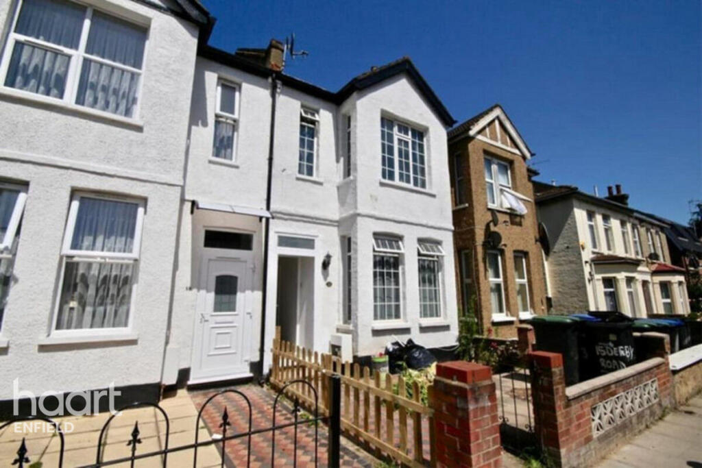
Derby Road, ENFIELD
By haart
£ 750
haart says ..
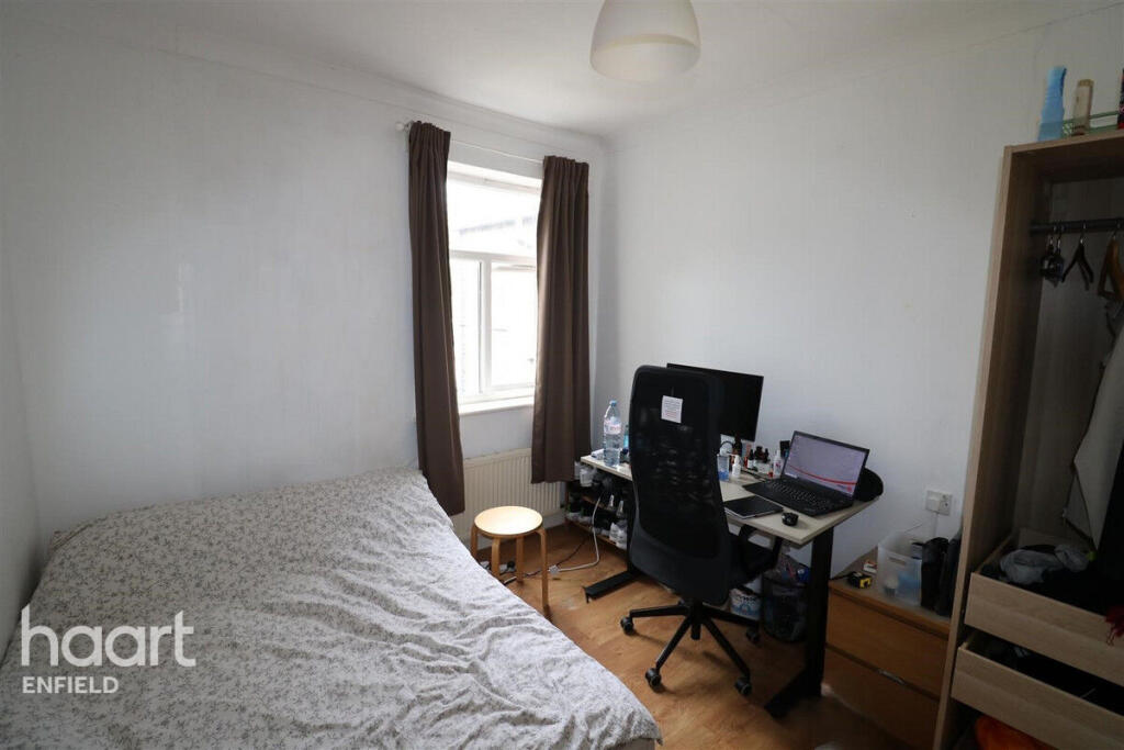
Large Room in shared accommodation all bills included
- Bedrooms
- 1
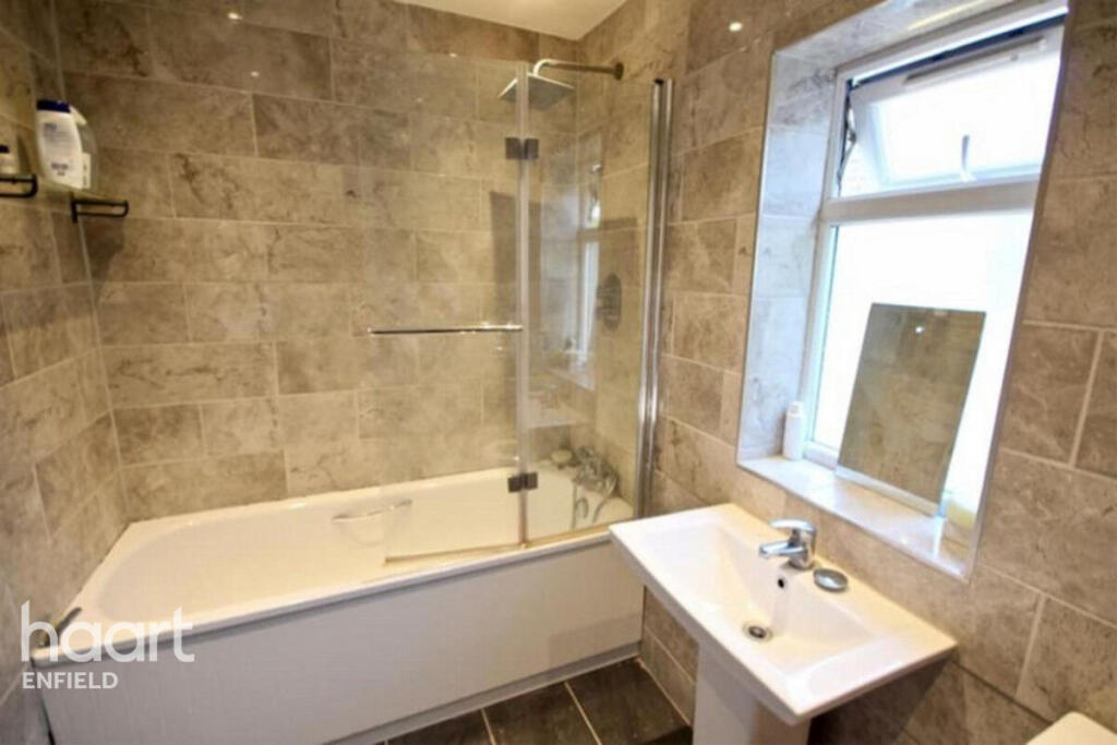
- Bathrooms
- 1
The heatmap indicates the level of crime in the area. The color of the heatmap indicates the crime severity and recency.
Metrics Year-on-Year
- Average area value
- 240,000.00 £Decreased by 38.64 %
- Average area rental value
- 1,713.00 £/moDecreased by 9.46 %
- Est rental Yield
- 8.57 %Increased by 47.76 %
- Crime Rate
- 13.00 %Unchanged by 0.00 %
from 391,129.00 £
from 1,892.00 £/mo
from 5.80 %
from 13.00 %
Agent Activity
haart created the listing.
Nearby Schools
| Name | Type | Ofsted | Distance |
|---|---|---|---|
| One Degree Academy | Free Schools | Outstanding | 0.40 KM |
| Heron Hall Academy | Free Schools | Good | 0.40 KM |
| St Matthew'S Cofe Primary School | Voluntary Aided School | Good | 0.44 KM |
| St Alpheges Children'S Centre | Children's Centre Linked Site | 0.61 KM | |
| Southbury Primary School | Community School | Good | 0.61 KM |
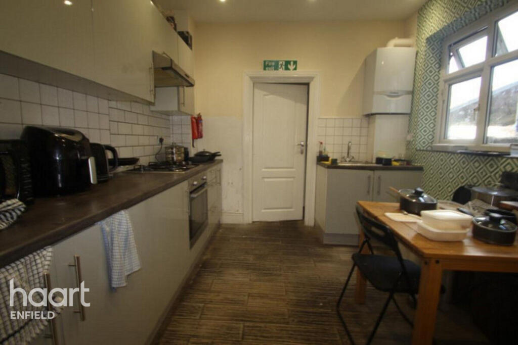
Images
Nearby Streets
| Name | Average Price | Average Sqft | Distance |
|---|---|---|---|
| Brecon Road | £ 450,000 | 0 | 0.00 KM |
| Clifford Road | £ 0 | 0 | 0.00 KM |
| Scarborough Road | £ 0 | 0 | 0.00 KM |
| Lincoln Road | £ 0 | 0 | 0.00 KM |
| Moat Side | £ 0 | 0 | 0.00 KM |
Nearby Transport
| Name | NLC | TLC | Distance |
|---|---|---|---|
| Southbury | 6947 | SBU | 0.72 KM |
| Ponders End | 6819 | PON | 1.40 KM |
| Brimsdown | 6810 | BMD | 2.24 KM |
| Bush Hill Park | 6913 | BHK | 2.41 KM |
| Edmonton Green | 6941 | EDR | 2.63 KM |
Nearby Listings
| Address | Price | Type | Score | Distance |
|---|---|---|---|---|
| Derby Road, ENFIELD | £ 750 | RENT | Unknown | 0.00 KM |
| High Street, Enfield | £ 1,850 | RENT | Unknown | 0.09 KM |
| Colwell Crescent, Enfield, EN3 | £ 950 | RENT | Unknown | 0.15 KM |
| Colwell Crescent, Enfield, EN3 | £ 900 | RENT | Unknown | 0.15 KM |
| High Street, Ponders End, EN3 4DZ | £ 1,550 | RENT | Unknown | 0.18 KM |
Nearby Properties
| Address | Price | Distance |
|---|---|---|
| 23 Derby Road | £ 84,500 | 0.01 KM |
| 2a Derby Road | £ 175,000 | 0.01 KM |
| 11 Derby Road | £ 144,500 | 0.01 KM |
| 7a Derby Road | £ 61,000 | 0.01 KM |
| 13 Derby Road | £ 366,000 | 0.01 KM |