
MA
Bury St Edmunds
By Martin & Co
£ 1,400
Martin & Co says ..
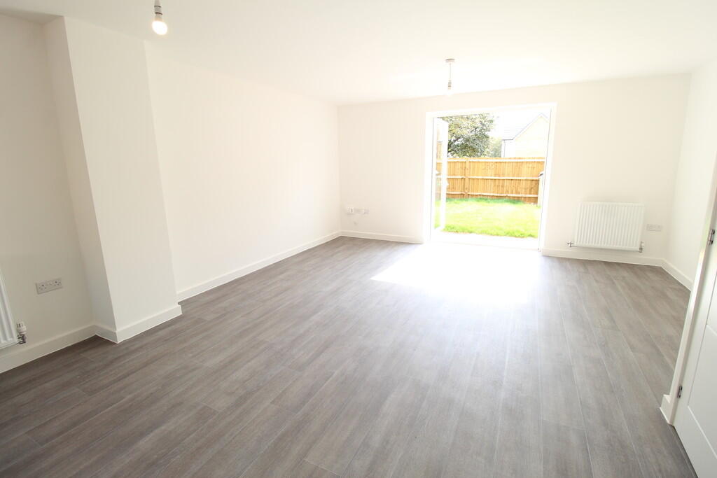
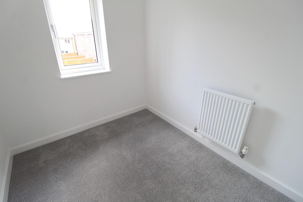
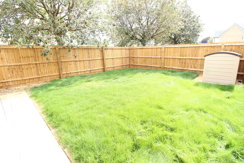
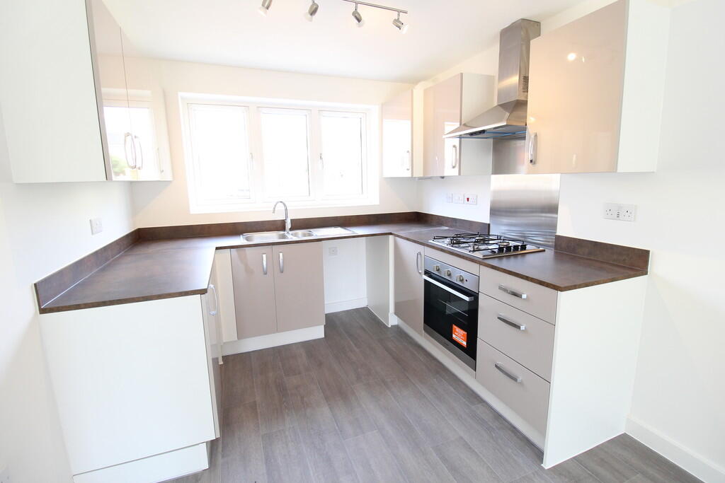
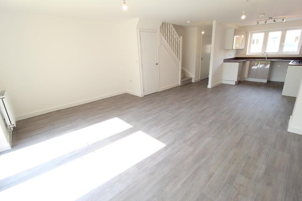
BRAND NEW 3 BED 2.5 BATH house with open plan living accommodation, gas central heating and TWO allocated parking spaces. Easy access to amenities, TOWN CENTRE, A14 and RAF LAKENHEATH/MILDENHALL.
- Bedrooms
- 3
- Bathrooms
- 2
The heatmap indicates the level of crime in the area. The color of the heatmap indicates the crime severity and recency.
Metrics Year-on-Year
- Average area value
- 223,188.00 £Decreased by 13.36 %
- Average area rental value
- 1,283.00 £/moIncreased by 2.15 %
- Est rental Yield
- 6.90 %Increased by 17.95 %
- Crime Rate
- 7.00 %Unchanged by 0.00 %
from 257,594.00 £
from 1,256.00 £/mo
from 5.85 %
from 7.00 %
Agent Activity
Martin & Co created the listing.
Nearby Schools
| Name | Type | Ofsted | Distance |
|---|---|---|---|
| Carousel Children'S Centre | Children's Centre | 0.21 KM | |
| Bury St Edmunds County Upper School | Academy Converter | Serious Weaknesses | 0.40 KM |
| St Benedict'S Catholic School | Voluntary Aided School | Good | 0.41 KM |
| The Albany | Academy Alternative Provision Converter | 0.76 KM | |
| Tollgate Primary School | Academy Sponsor Led | Good | 0.78 KM |
Images


Nearby Streets
| Name | Average Price | Average Sqft | Distance |
|---|---|---|---|
| A14 | £ 0 | 0 | 0.00 KM |
| Derwent Road | £ 0 | 0 | 0.00 KM |
| Mannock Drive | £ 340,000 | 0 | 0.00 KM |
| Tollcott Drive | £ 0 | 0 | 0.00 KM |
| Camberley Court | £ 0 | 0 | 0.00 KM |
Nearby Transport
| Name | NLC | TLC | Distance |
|---|---|---|---|
| Bury St Edmunds | 7008 | BSE | 1.66 KM |
Nearby Listings
| Address | Price | Type | Score | Distance |
|---|---|---|---|---|
| Bury St Edmunds | £ 1,400 | RENT | Unknown | 0.00 KM |
| Westhorpe Avenue, BURY ST. EDMUNDS | £ 1,500 | RENT | Unknown | 0.09 KM |
| Bury St Edmunds | £ 900 | RENT | Unknown | 0.13 KM |
| Mcintyre Walk, Bury St. Edmunds | £ 1,400 | RENT | Unknown | 0.17 KM |
| Oakes Road, Bury St. Edmunds | £ 1,300 | RENT | Unknown | 0.27 KM |
Nearby Properties
| Address | Price | Distance |
|---|---|---|
| 2 Mcintyre Walk | £ 171,500 | 0.09 KM |
| 9 Mcintyre Walk | £ 136,000 | 0.09 KM |
| 7 Mcintyre Walk | £ 207,000 | 0.09 KM |
| 11 Mcintyre Walk | £ 194,000 | 0.09 KM |
| 12 Mcintyre Walk | £ 150,000 | 0.09 KM |