1
Shalford House (18th August)
By 1 Ability Estate Agents
£ 738
1 Ability Estate Agents says ..
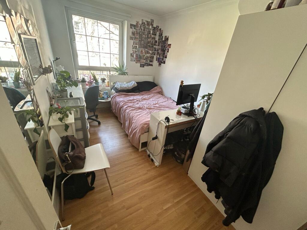
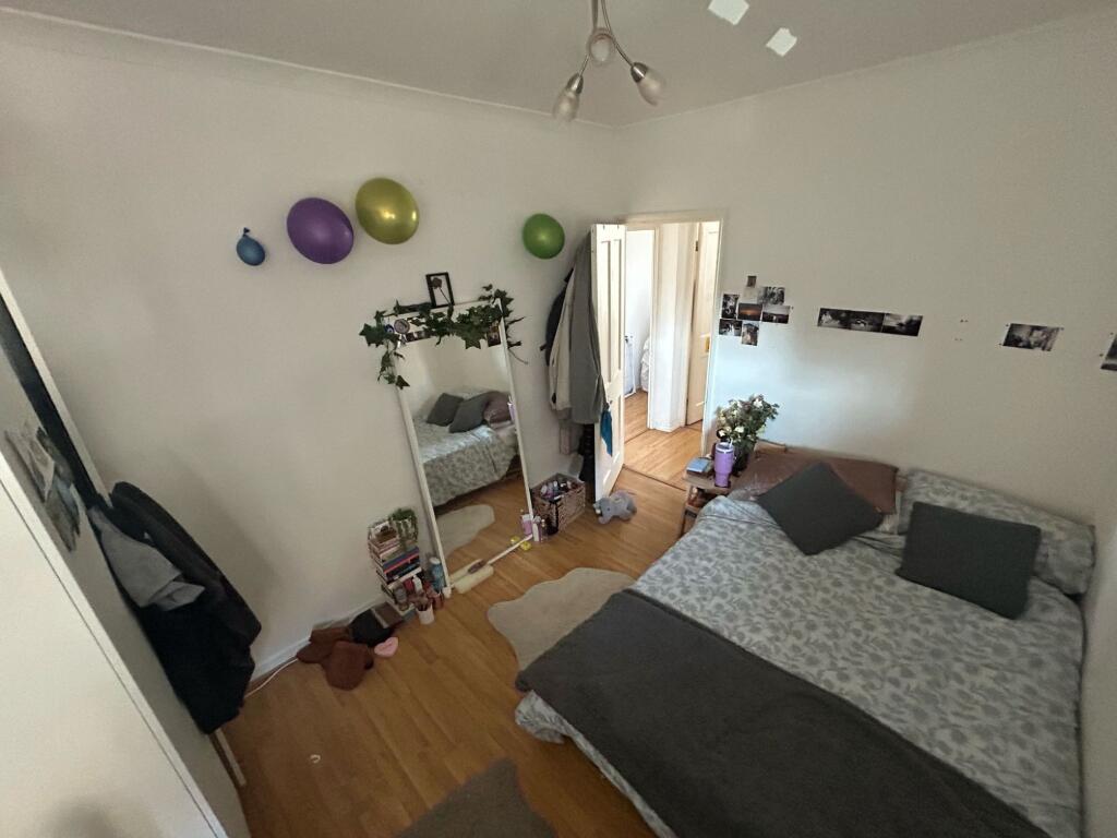
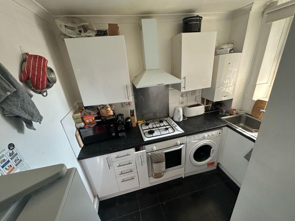
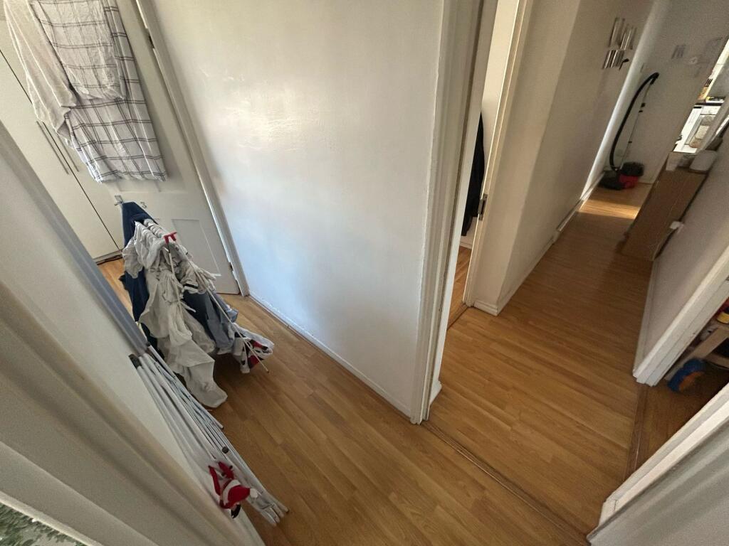
4 Bedroom Flat for Rent - Shalford House, SE1
- Bedrooms
- 4
- Bathrooms
- 1
The heatmap indicates the level of crime in the area. The color of the heatmap indicates the crime severity and recency.
Metrics Year-on-Year
- Average area value
- 502,500.00 £Decreased by 5.45 %
- Average area rental value
- 2,155.00 £/moDecreased by 2.80 %
- Est rental Yield
- 5.15 %Increased by 2.79 %
- Crime Rate
- 5.00 %Unchanged by 0.00 %
from 531,465.00 £
from 2,217.00 £/mo
from 5.01 %
from 5.00 %
Agent Activity
1 Ability Estate Agents created the listing.
Nearby Schools
| Name | Type | Ofsted | Distance |
|---|---|---|---|
| St Saviour'S And St Olave'S Church Of England School | Voluntary Aided School | Outstanding | 0.32 KM |
| Beormund Primary School | Community Special School | Good | 0.47 KM |
| Grange Primary School | Community School | Good | 0.48 KM |
| Townsend Primary School | Community School | Good | 0.50 KM |
| Snowsfields Primary School | Community School | Good | 0.54 KM |
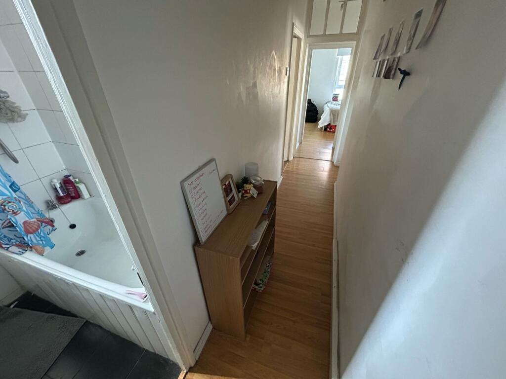
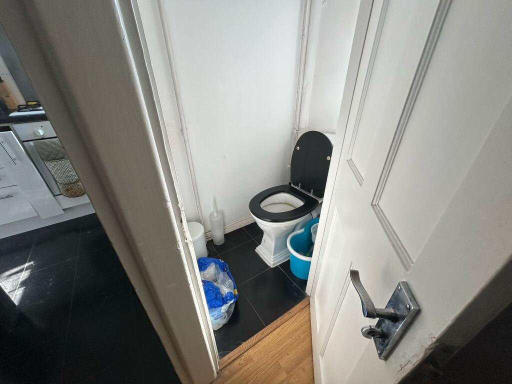
Images


Nearby Streets
| Name | Average Price | Average Sqft | Distance |
|---|---|---|---|
| Lansdowne Place | £ 325,000 | 0 | 0.00 KM |
| Hunter Close | £ 1,225,000 | 0 | 0.00 KM |
| Black Horse Court | £ 0 | 0 | 0.00 KM |
| City Walk | £ 0 | 0 | 0.00 KM |
| Porlock Way | £ 0 | 0 | 0.00 KM |
Nearby Transport
| Name | NLC | TLC | Distance |
|---|---|---|---|
| London Bridge | 5148 | LBG | 0.87 KM |
| Elephant And Castle | 5246 | EPH | 1.44 KM |
| Cannon Street | 5142 | CST | 1.65 KM |
| Fenchurch Street | 7490 | FST | 1.80 KM |
| Liverpool Street | 6965 | LST | 2.37 KM |
Nearby Listings
| Address | Price | Type | Score | Distance |
|---|---|---|---|---|
| Shalford House (18th August) | £ 738 | RENT | Unknown | 0.00 KM |
| Weston Street, Borough, London, SE1 | £ 1,495 | RENT | Unknown | 0.02 KM |
| Thurnham House, Law Street, SE1 4XJ | £ 5,250 | RENT | Unknown | 0.03 KM |
| Law Street, London | £ 2,650 | RENT | Unknown | 0.04 KM |
| Weston Street, London Bridge | £ 750 | RENT | Unknown | 0.06 KM |
Nearby Properties
| Address | Price | Distance |
|---|---|---|
| 21 Rothsay Street | £ 475,000 | 0.10 KM |
| 39 Rothsay Street | £ 560,000 | 0.10 KM |
| 43 Rothsay Street | £ 442,000 | 0.10 KM |
| 41 Rothsay Street | £ 422,000 | 0.10 KM |
| 14 Potier Street | £ 160,500 | 0.11 KM |