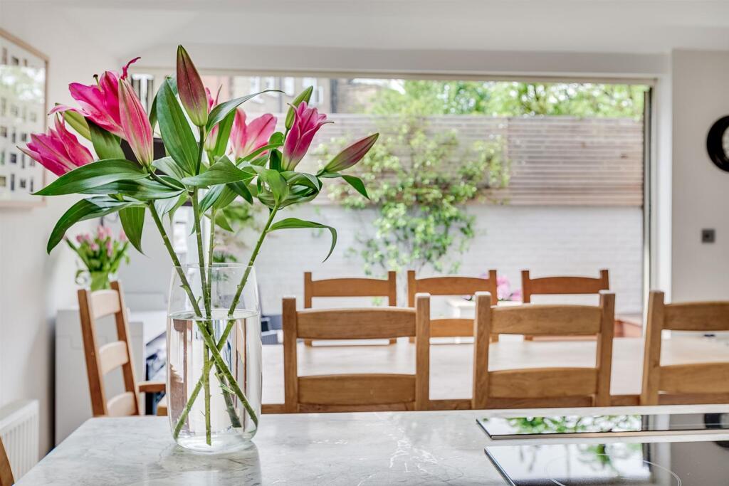

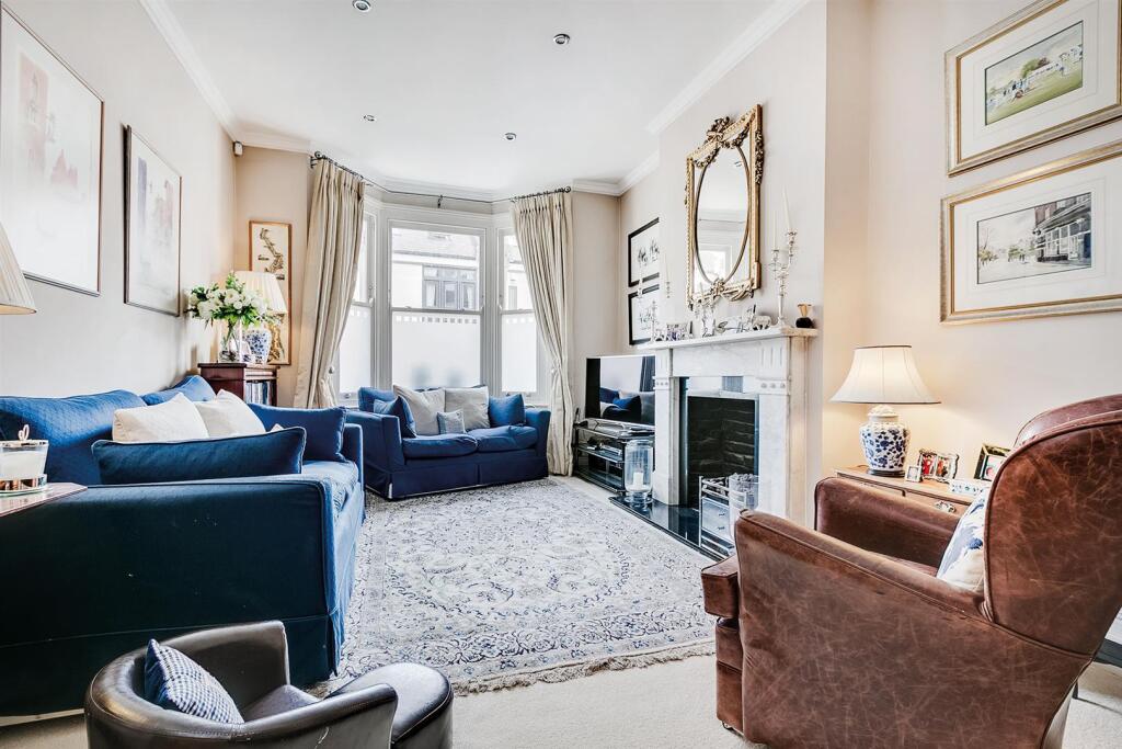
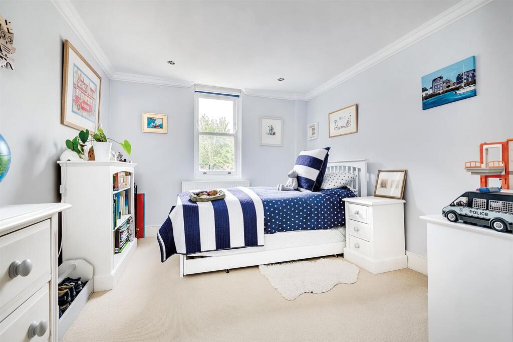
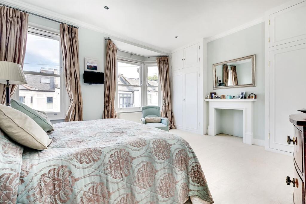
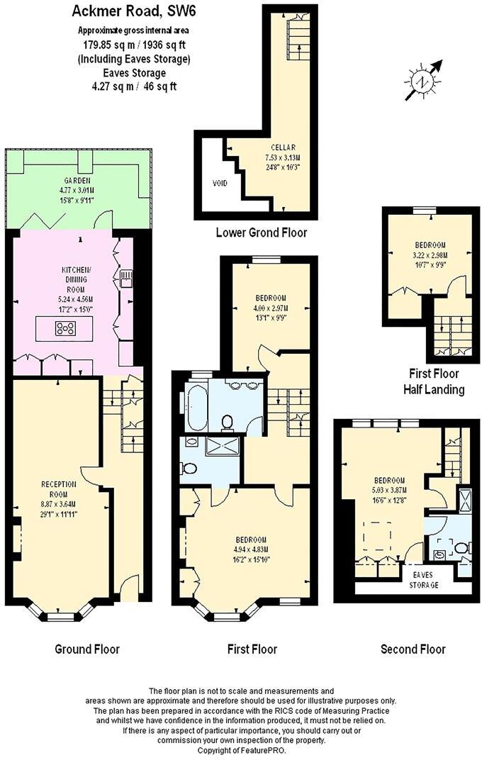
Ackmar Road, SW6
By Brik
£ 6,500
Brik says ..
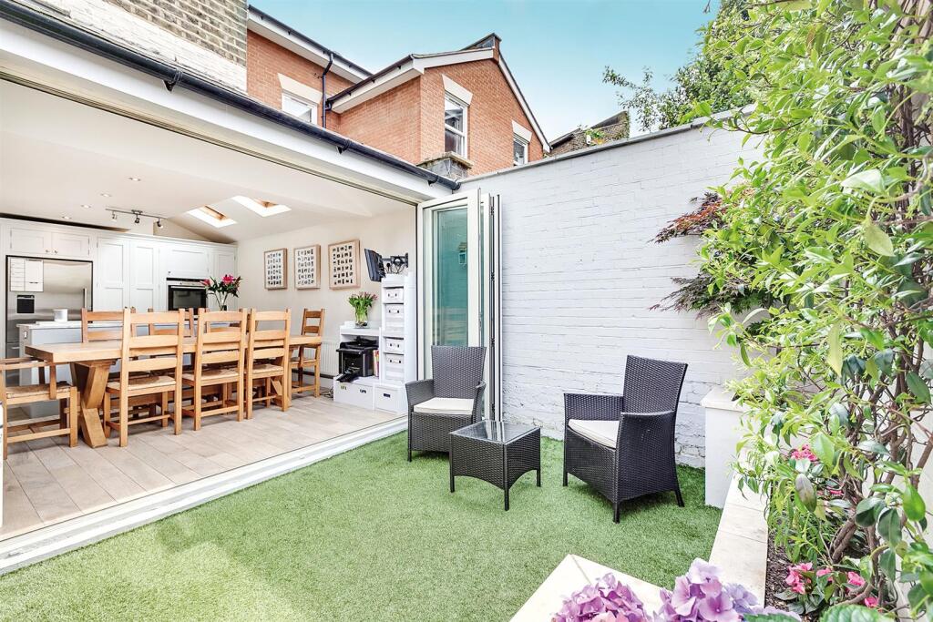
A well-presented four bedroom Victorian family home located in the heart of Parsons Green.
- Bedrooms
- 4
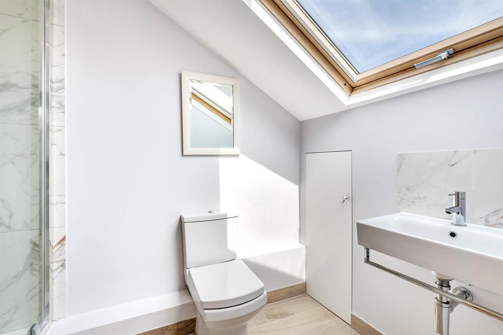
- Bathrooms
- 3
The heatmap indicates the level of crime in the area. The color of the heatmap indicates the crime severity and recency.
Metrics Year-on-Year
- Average area value
- 371,130.00 £Increased by 2.62 %
- Average area rental value
- 1,597.00 £/moIncreased by 9.08 %
- Est rental Yield
- 5.16 %Increased by 6.17 %
- Crime Rate
- 12.00 %Unchanged by 0.00 %
from 361,672.00 £
from 1,464.00 £/mo
from 4.86 %
from 12.00 %
Agent Activity
Brik created the listing.
Nearby Schools
| Name | Type | Ofsted | Distance |
|---|---|---|---|
| Evergreen Primary School | Other Independent School | Requires improvement | 0.20 KM |
| Lady Margaret School | Academy Converter | 0.20 KM | |
| Holy Cross Rc School | Voluntary Aided School | Good | 0.32 KM |
| Kensington Prep School | Other Independent School | 0.34 KM | |
| Fulham Central Children'S Centre | Children's Centre | 0.40 KM |
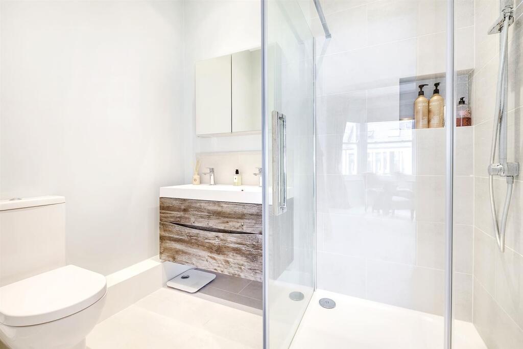
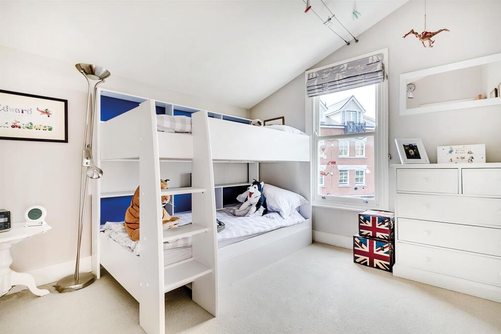
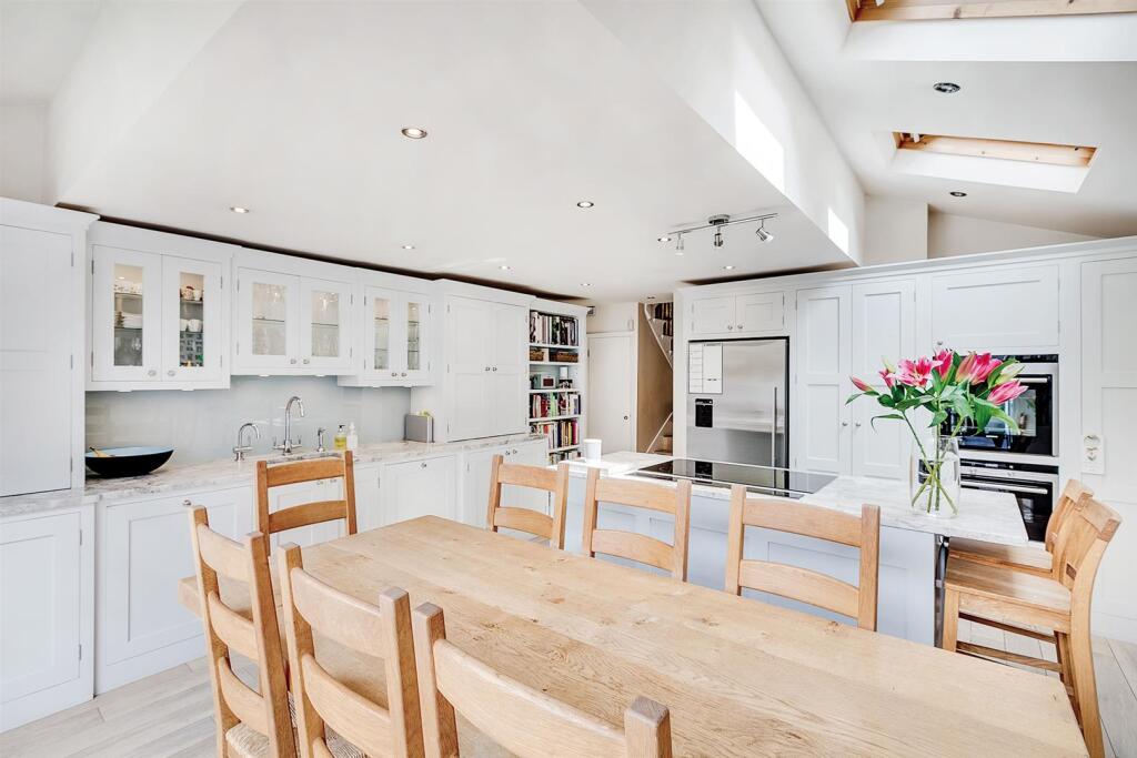
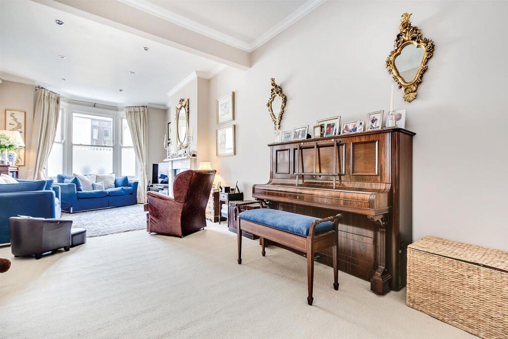
Images


Nearby Streets
| Name | Average Price | Average Sqft | Distance |
|---|---|---|---|
| Beaconsfield Alleyway | £ 2,250,000 | 0 | 0.00 KM |
| Swan Mews | £ 0 | 0 | 0.00 KM |
| Novello Street | £ 0 | 0 | 0.00 KM |
| Linver Road | £ 1,150,000 | 0 | 0.00 KM |
| Laurel Bank Gardens | £ 570,000 | 0 | 0.00 KM |
Nearby Transport
| Name | NLC | TLC | Distance |
|---|---|---|---|
| West Brompton | 8875 | WBP | 1.55 KM |
| Imperial Wharf | 9586 | IMW | 2.06 KM |
| Wandsworth Town | 5576 | WNT | 2.10 KM |
| Putney | 5603 | PUT | 2.21 KM |
| Kensington (Olympia) | 3092 | KPA | 2.79 KM |
Nearby Listings
| Address | Price | Type | Score | Distance |
|---|---|---|---|---|
| Ackmar Road, SW6 | £ 6,500 | RENT | Unknown | 0.00 KM |
| Dairy Close, London, SW6 | £ 2,800 | RENT | Unknown | 0.02 KM |
| Dairy Close, London, SW6 | £ 2,250 | RENT | Unknown | 0.02 KM |
| Dairy Close, London, SW6 | £ 2,500 | RENT | Unknown | 0.03 KM |
| Jersey Court, SW6 | £ 2,150 | RENT | Unknown | 0.05 KM |
Nearby Properties
| Address | Price | Distance |
|---|---|---|
| 49 Parsons Green Lane | £ 167,500 | 0.10 KM |
| 49a Parsons Green Lane | £ 295,000 | 0.10 KM |
| 49b Parsons Green Lane | £ 980,000 | 0.10 KM |
| 50 St Dionis Road | £ 2,035,000 | 0.10 KM |
| 4 St Dionis Road | £ 1,125,000 | 0.10 KM |