Stonebridge says ..
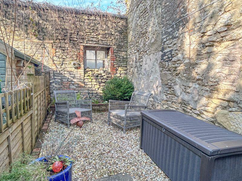
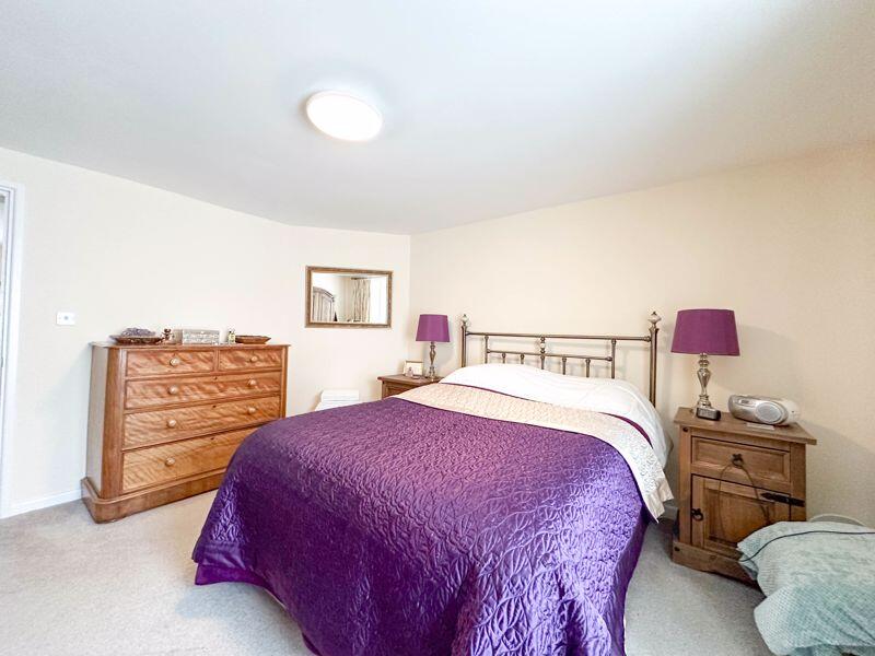
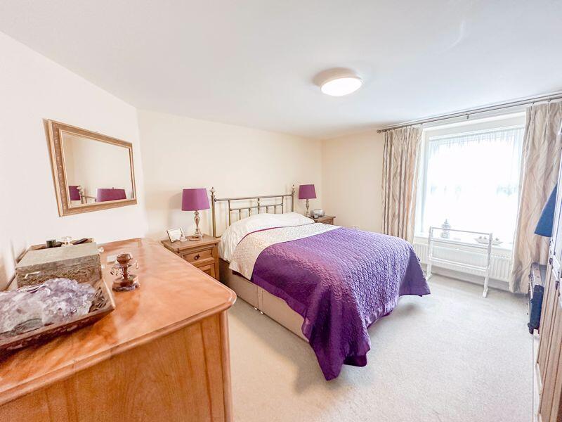
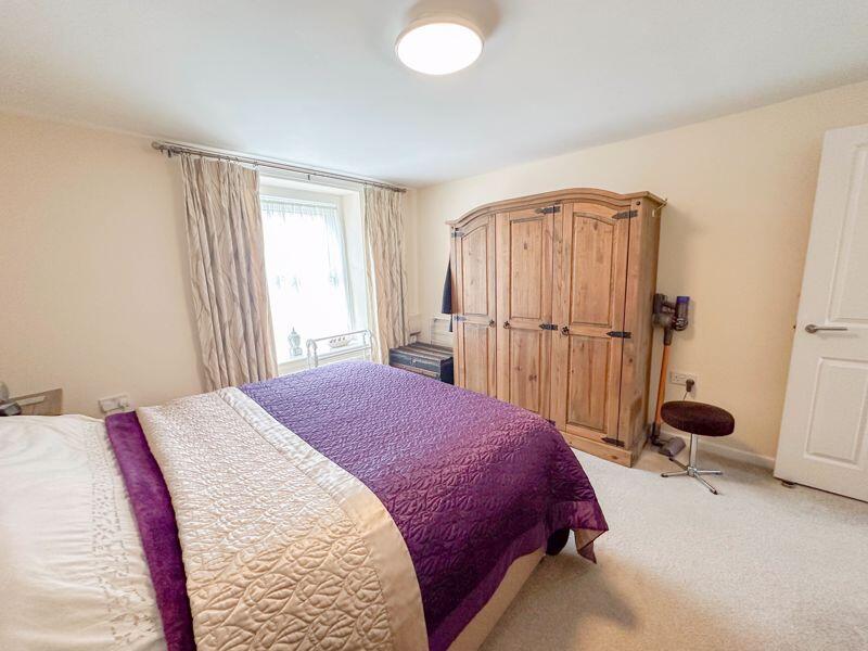
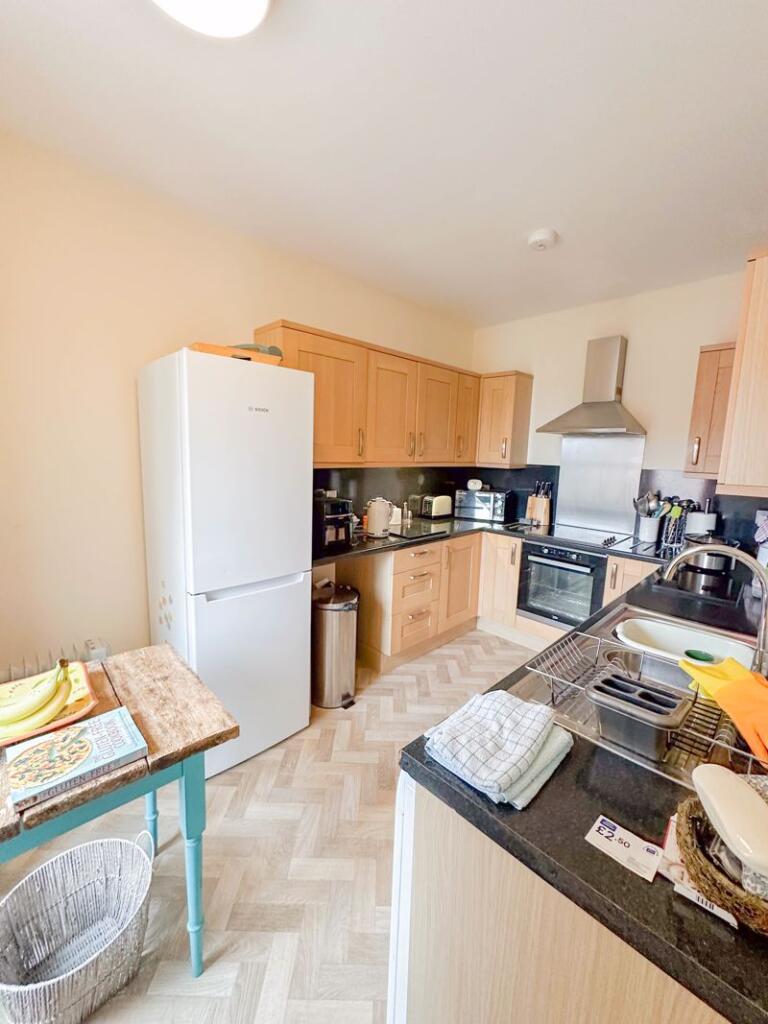
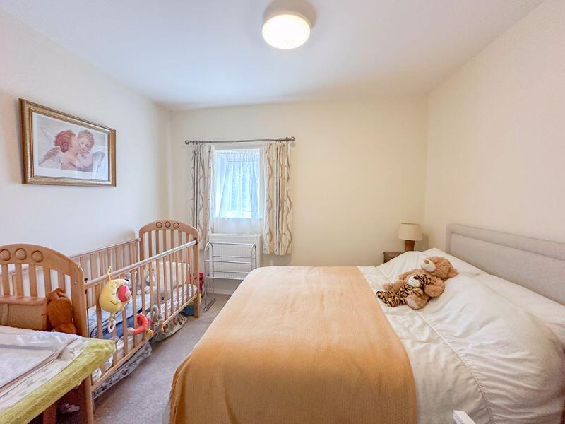
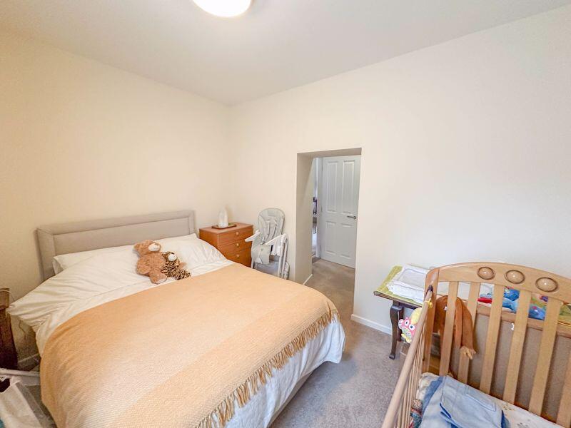
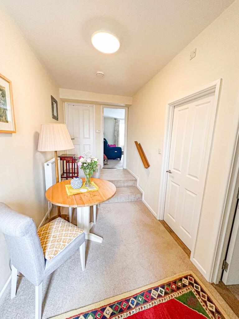
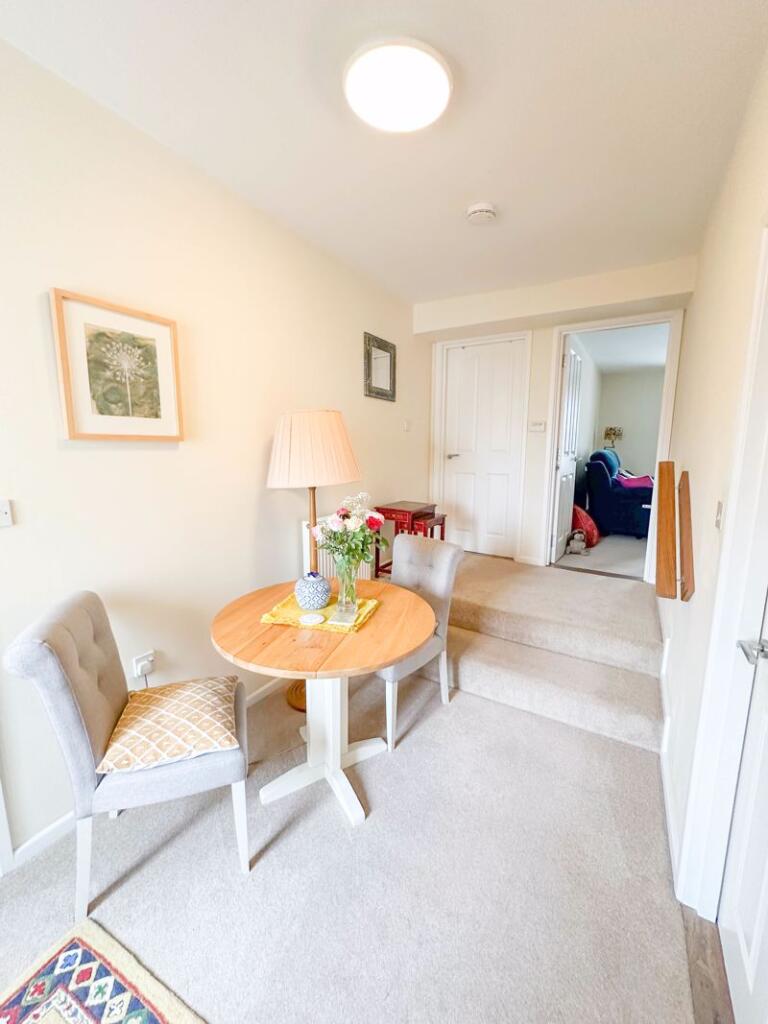
An extremely well presented and deceptively spacious 2nd floor apartment with a delightful. garden. The accommodation comprises 2 double bedrooms. living room, kitchen and bathroom. The property also benefits from gas central heating, double glazing. Viewings come highly recommended.
Property Oracle says ..
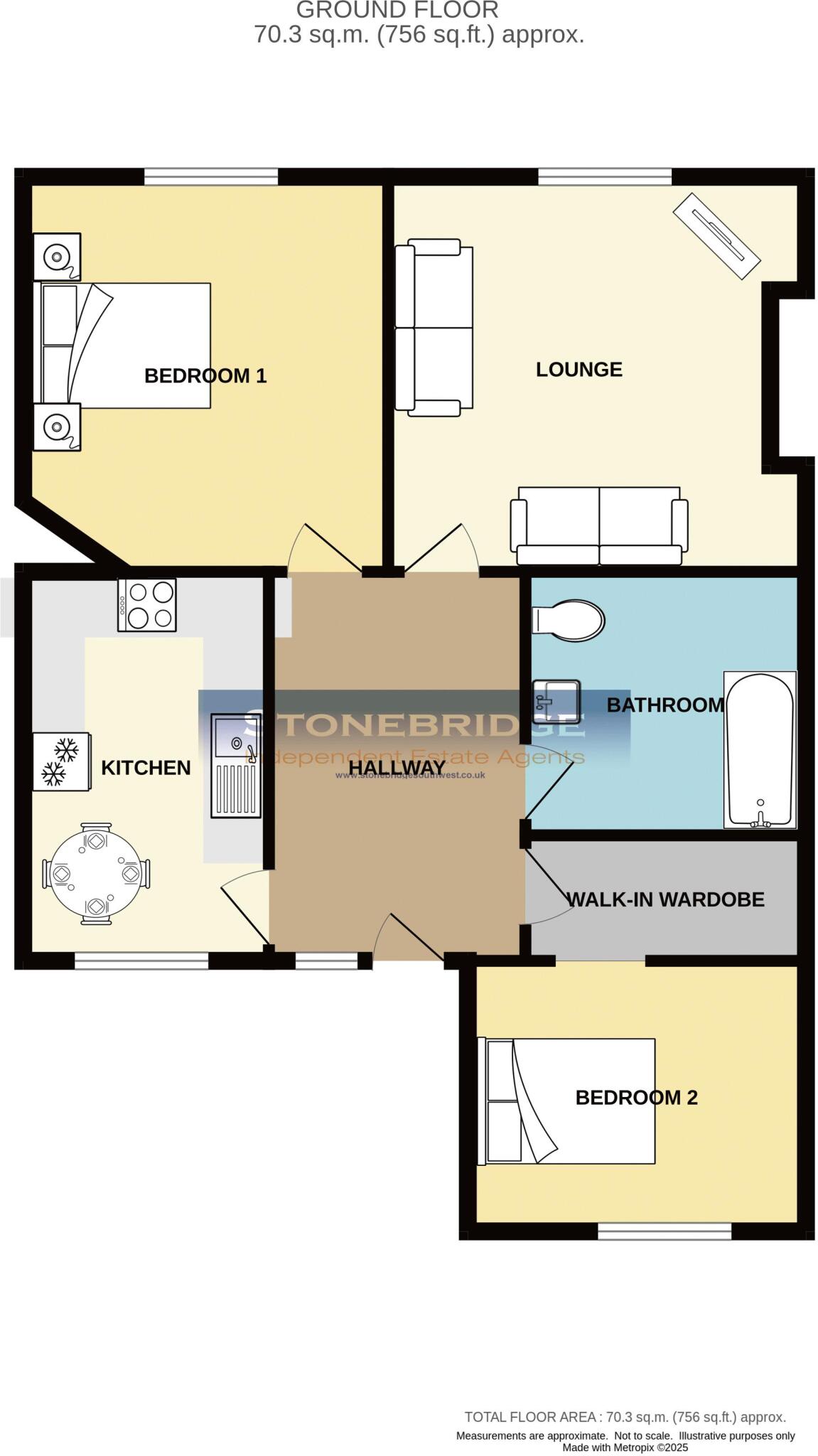
The property is a 2 bedroom, 1 bathroom house located on High Street, Shepton Mallet, Somerset. It has a plot size of 756 sqft and is 656 sqft in size. The list price is £165,000.
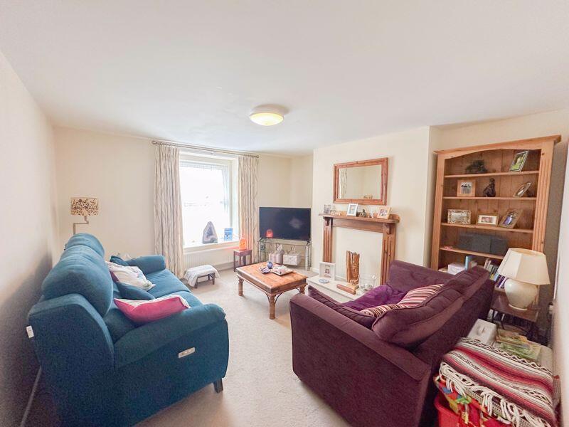
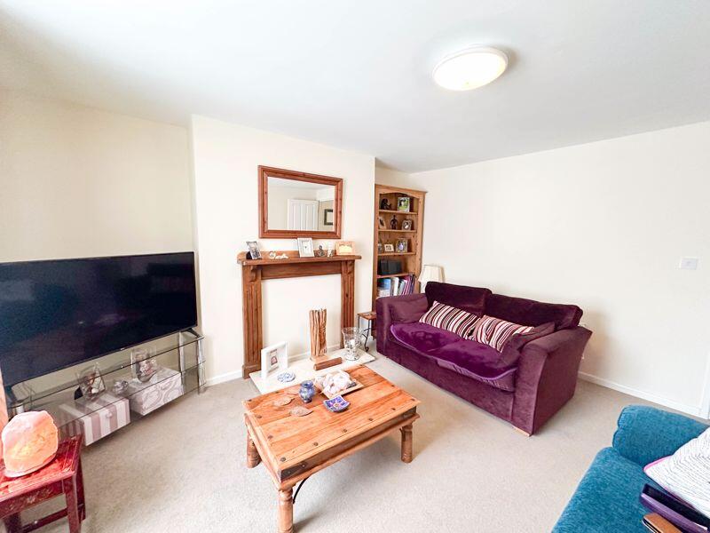
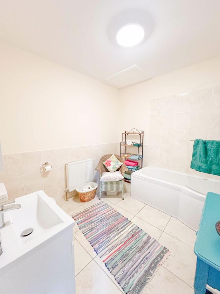
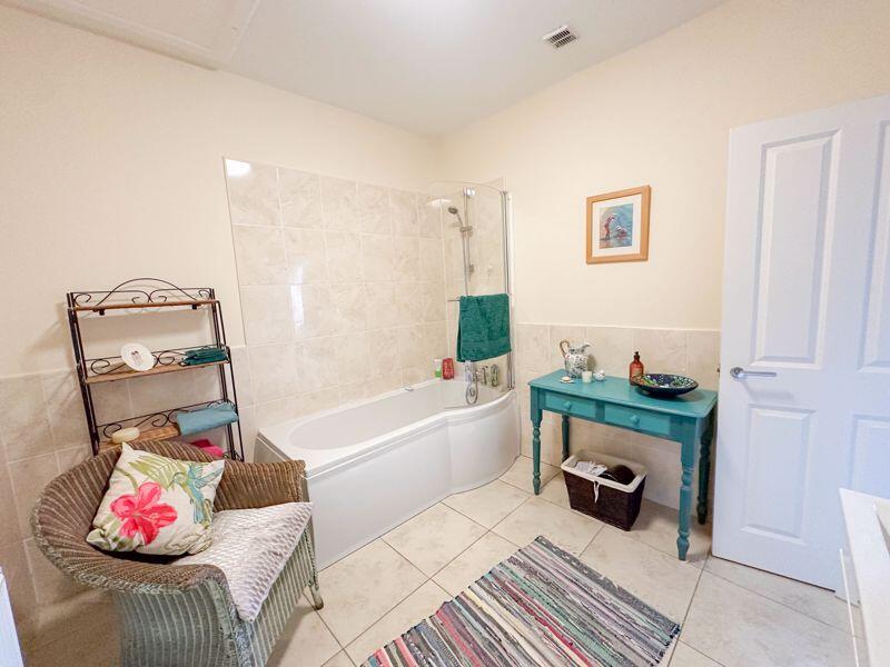
The property appears to be in good condition based on the provided photos. The rooms are clean and well-maintained, and there is no visible damage or disrepair. The kitchen and bathroom seem modern and updated. The small garden is also well-maintained.
The property is located in Shepton Mallet, which is a market town in Somerset. The High Street location is convenient, providing easy access to local shops and amenities. Several schools are within a reasonable distance, including St Paul’s Church of England VC Junior School (0.21km), Mendip South East (0.33km), and Shepton Mallet Community Infants’ School & Nursery (0.47km), all of which have good Ofsted ratings.
Considering the property’s condition, location, and the small garden, the list price of £165,000 appears reasonable. The average price for properties in the area is £260,633, and the average price per sqft is £292. This property is significantly below the average price, but it is also smaller than average and is a terraced house. Nearby comparable properties on High Street range from £87,000 to £131,000, suggesting the list price is within the expected range for a property of this type and size in this location.
Therefore, we give this property 7 / 10. *Disclaimer: This is our option and does constitute a recommendation or financial advice. Do your own research. *
- Price
- 7
- Condition
- 8
- Location
- 7
- Land
- 6
- Bedrooms
- 2
- Bathrooms
- 1
- Sqft (est)
- 656.00
- Lot (est)
- 756.00
The heatmap indicates the level of crime in the area. The color of the heatmap indicates the crime severity and recency.
Metrics Year-on-Year
- Average area value
- 287,990.00 £Decreased by 7.95 %
- Est sale value
- 281,424.00 £Increased by 28.44 %
- Average area rental value
- 1,125.00 £/moIncreased by 17.55 %
- Est letting value
- 656.00 £/moUnchanged by 0.00 %
- Est rental Yield
- 4.69 %Increased by 27.79 %
- Crime Rate
- 58.00 %Unchanged by 0.00 %
Agent Activity
Stonebridge created the listing.
Nearby Schools
| Name | Type | Ofsted | Distance |
|---|---|---|---|
| St Paul'S Church Of England Vc Junior School | Voluntary Controlled School | Good | 0.21 KM |
| Mendip South East | Children's Centre | 0.33 KM | |
| Shepton Mallet Community Infants' School & Nursery | Community School | Good | 0.47 KM |
| Whitstone | Academy Converter | Good | 0.65 KM |
| Bowlish Infant School | Community School | Good | 1.29 KM |
Images

Nearby Streets
| Name | Average Price | Average Sqft | Distance |
|---|---|---|---|
| Regal Road | £ 0 | 0 | 0.00 KM |
| Hill Lane | £ 210,000 | 0 | 0.00 KM |
| The Batch | £ 185,000 | 0 | 0.00 KM |
| Townsend Shopping Park | £ 0 | 0 | 0.00 KM |
| Meadow Rise | £ 0 | 0 | 0.00 KM |
Nearby Listings
| Address | Price | Type | Score | Distance |
|---|---|---|---|---|
| Shepton Mallet | £ 165,000 | BUY | 7 / 10 | 0.00 KM |
| High Street, Shepton Mallet | £ 140,000 | BUY | Unknown | 0.03 KM |
| Shepton Mallet | £ 215,000 | BUY | 4 / 10 | 0.03 KM |
| High Street, Shepton Mallet | £ 110,000 | BUY | 6 / 10 | 0.03 KM |
| High Street, Shepton Mallet | £ 105,000 | BUY | 5 / 10 | 0.03 KM |
Nearby Properties
| Address | Price | Distance |
|---|---|---|
| 57a High Street | £ 126,500 | 0.03 KM |
| 61 High Street | £ 127,500 | 0.03 KM |
| 63 High Street | £ 131,000 | 0.03 KM |
| 31b High Street | £ 87,000 | 0.03 KM |
| 33b High Street | £ 75,000 | 0.03 KM |