EX
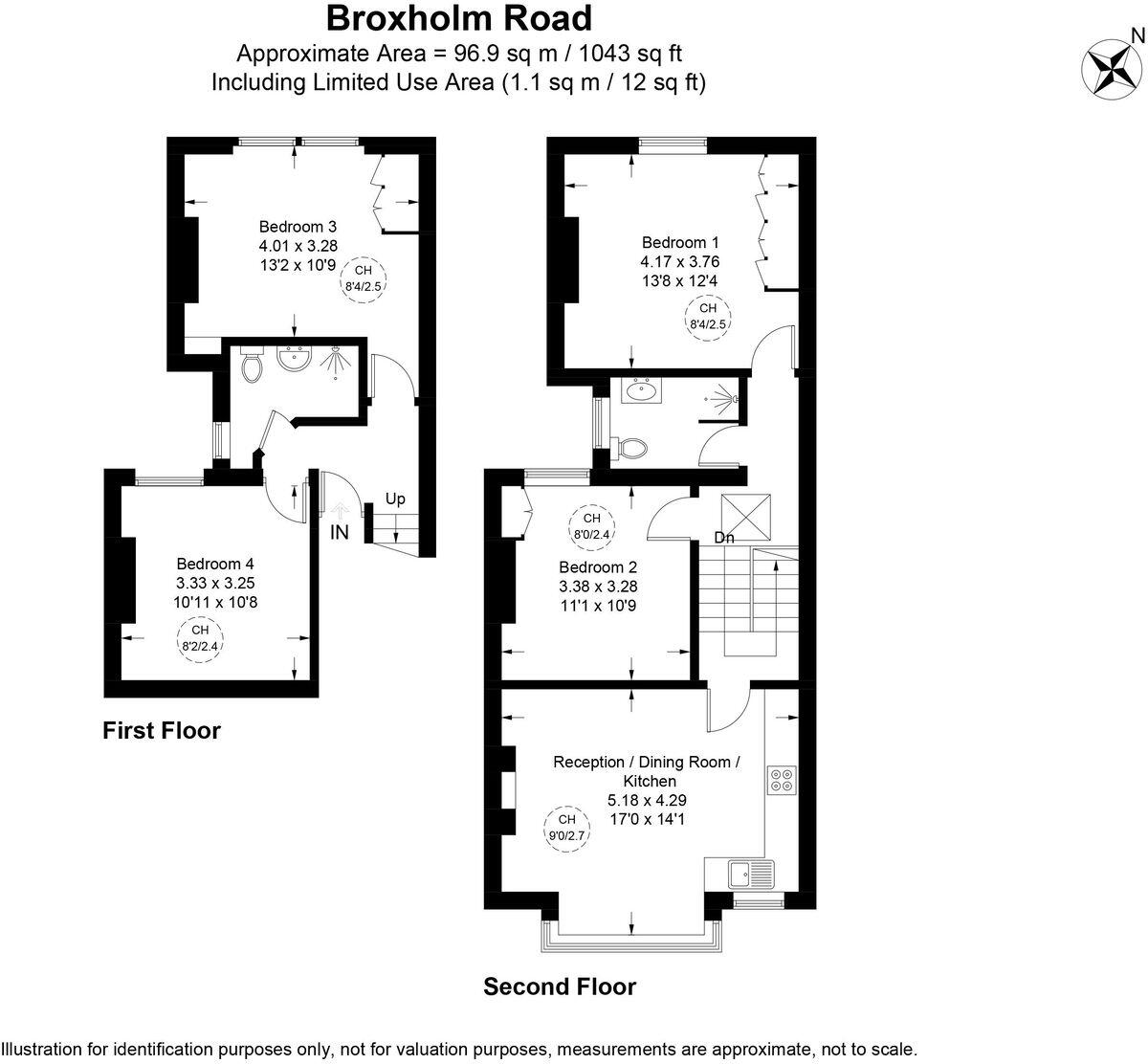
Broxholm Road, SE27 0BJ
By eXp UK
£ 3,000
eXp UK says ..
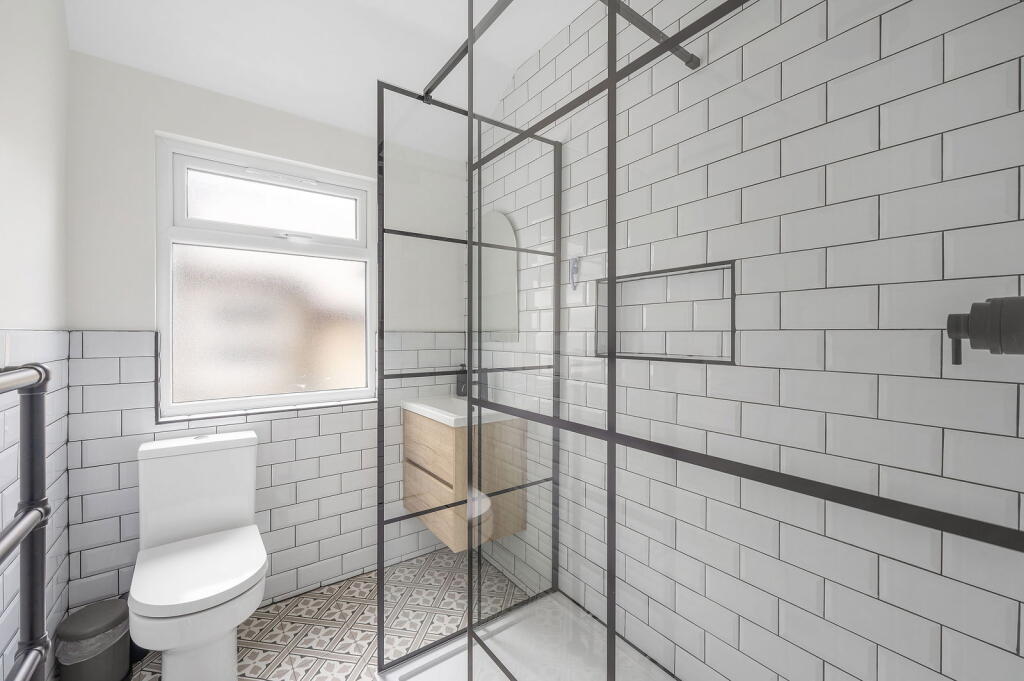
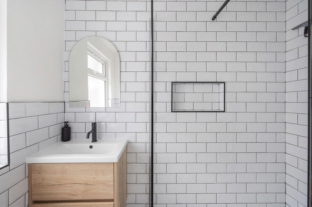
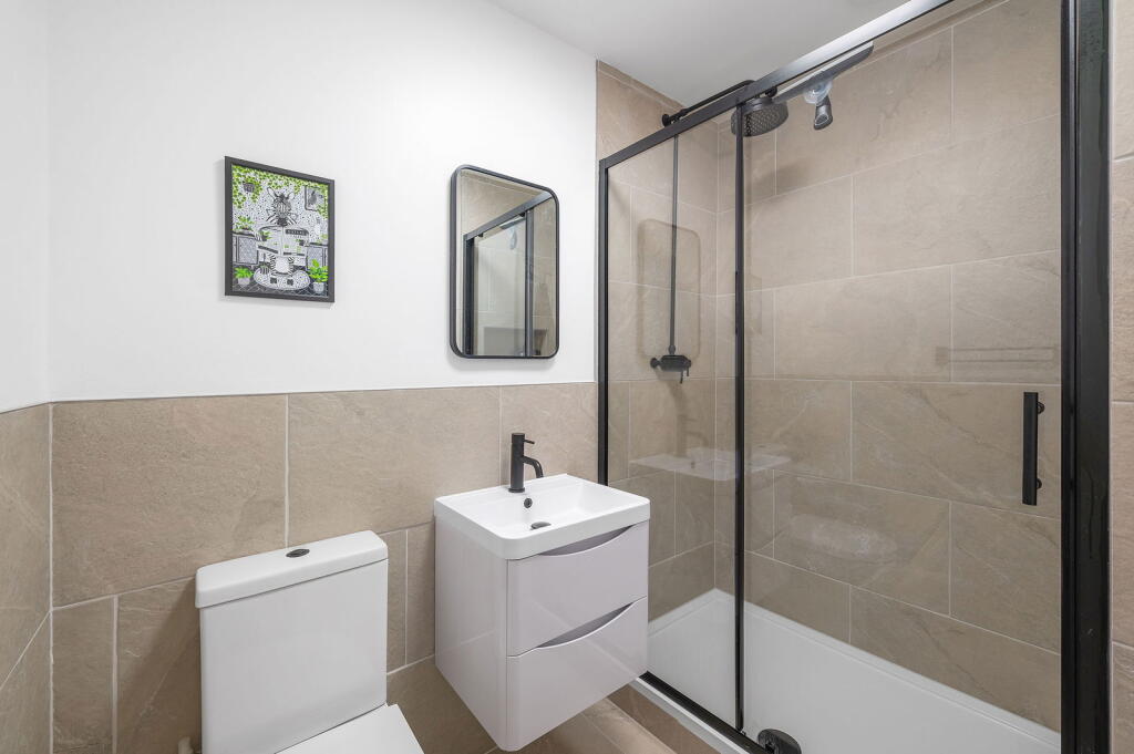
Newly renovated, period features, two bathrooms, double rooms, HMO license
- Bedrooms
- 4
- Bathrooms
- 2
The heatmap indicates the level of crime in the area. The color of the heatmap indicates the crime severity and recency.
Metrics Year-on-Year
- Average area value
- 696,167.00 £Decreased by 17.95 %
- Average area rental value
- 2,133.00 £/moDecreased by 1.25 %
- Est rental Yield
- 3.68 %Increased by 20.26 %
- Crime Rate
- 4.00 %Unchanged by 0.00 %
from 848,431.00 £
from 2,160.00 £/mo
from 3.06 %
from 4.00 %
Agent Activity
eXp UK created the listing.
Nearby Schools
| Name | Type | Ofsted | Distance |
|---|---|---|---|
| Hitherfield Primary School | Community School | Good | 0.36 KM |
| Hitherfield Primary School & Children'S Centre (P2) | Children's Centre | 0.39 KM | |
| Streatham Wells Primary School | Community School | Good | 0.75 KM |
| Dunraven School | Academy Converter | Outstanding | 0.82 KM |
| Julian'S School | Foundation School | Good | 0.82 KM |
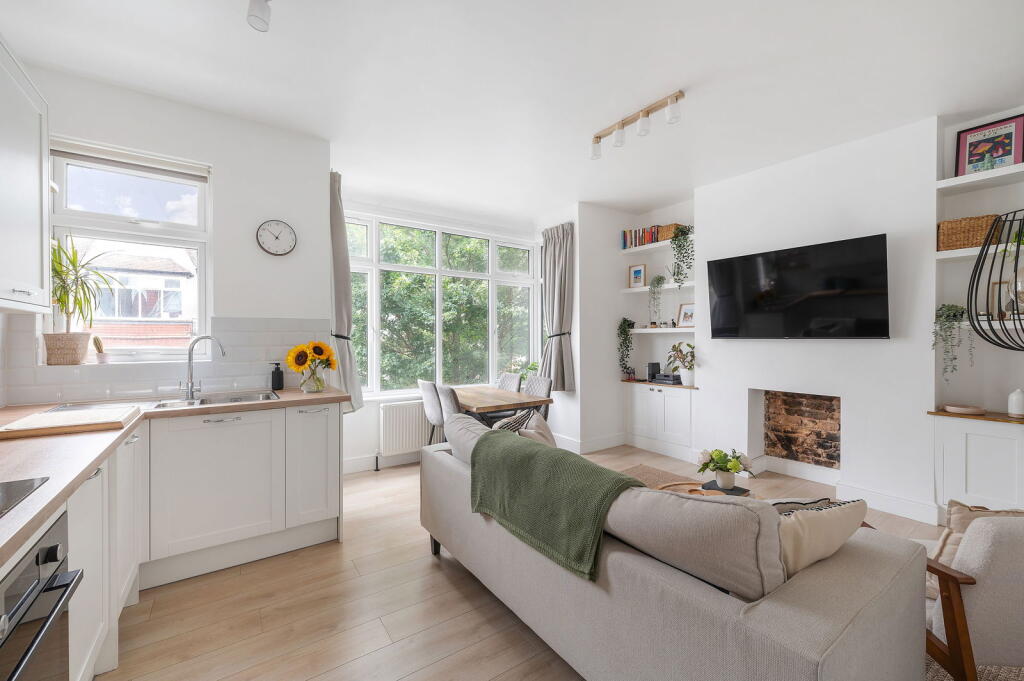
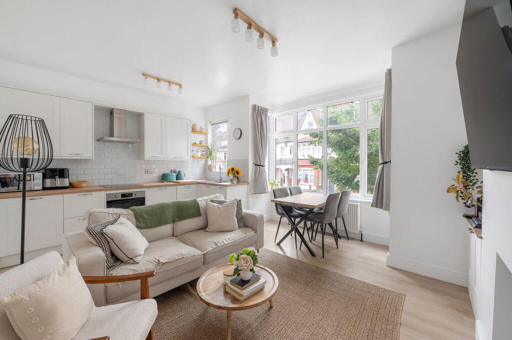
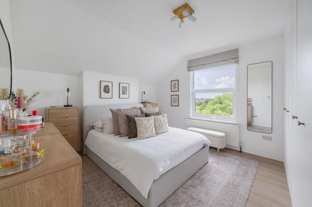
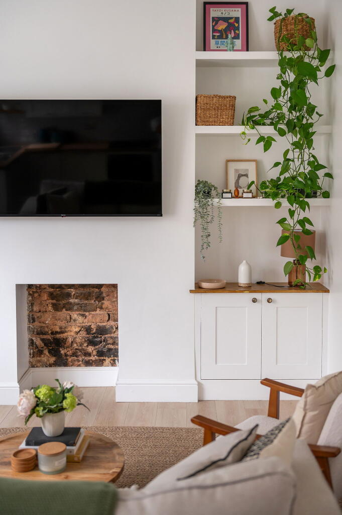
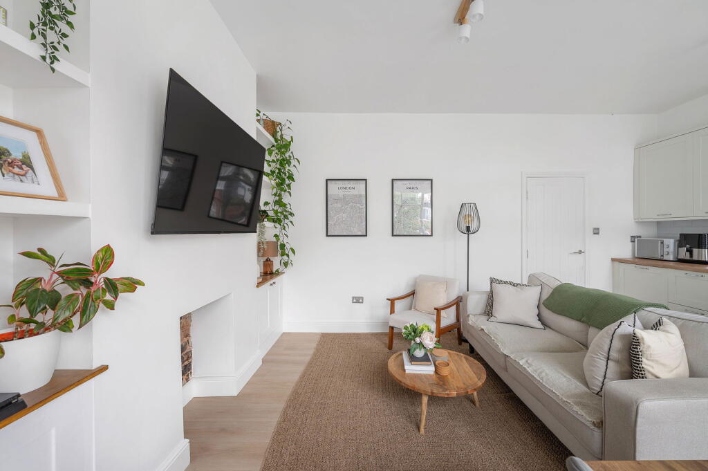
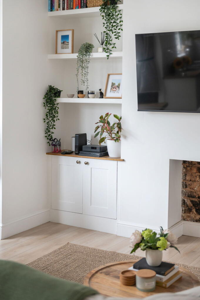
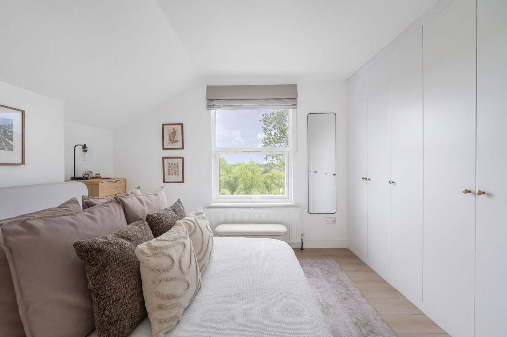
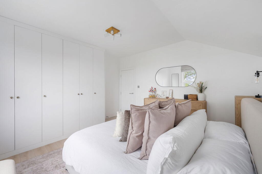
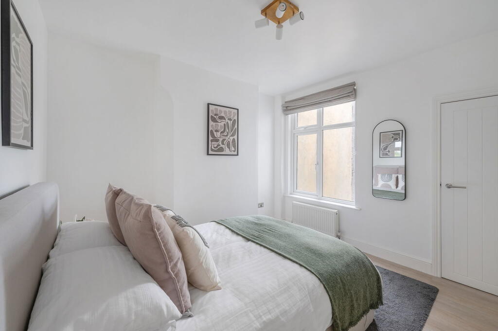
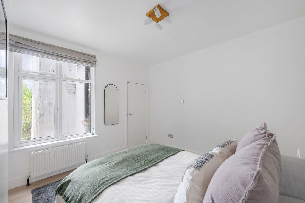
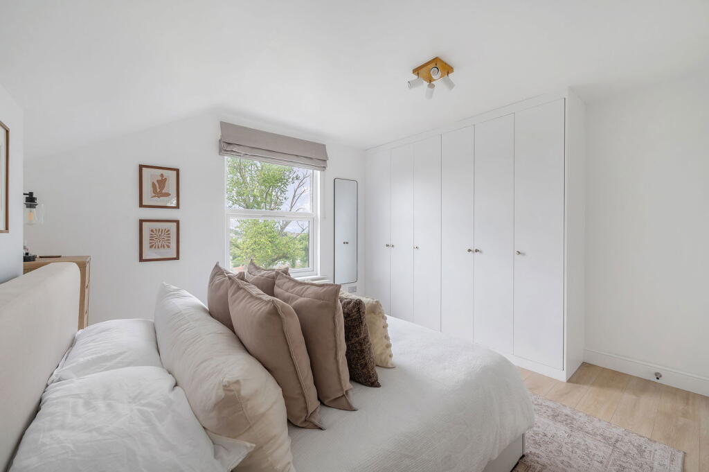
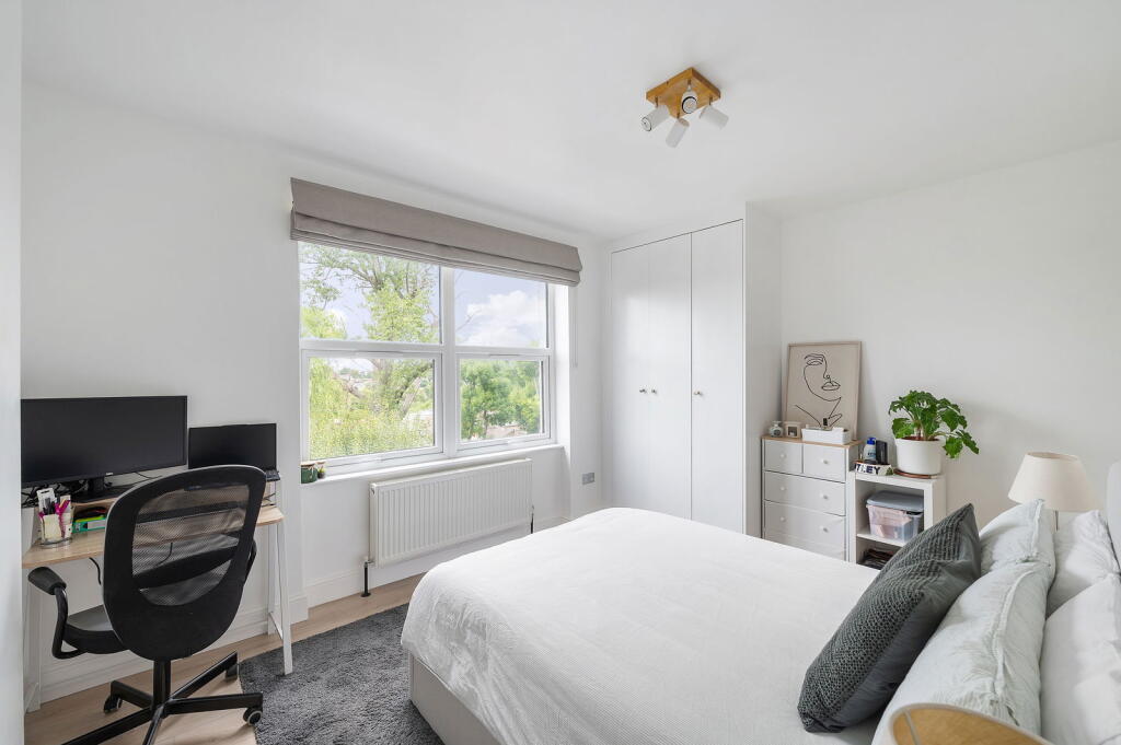
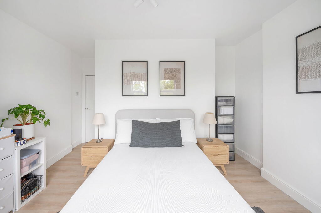
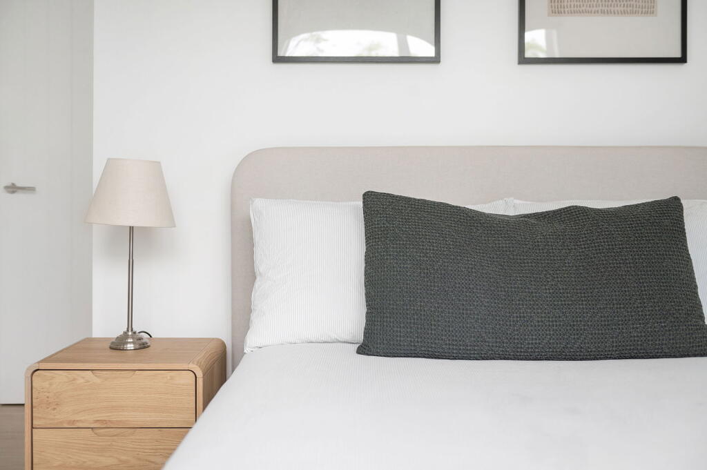
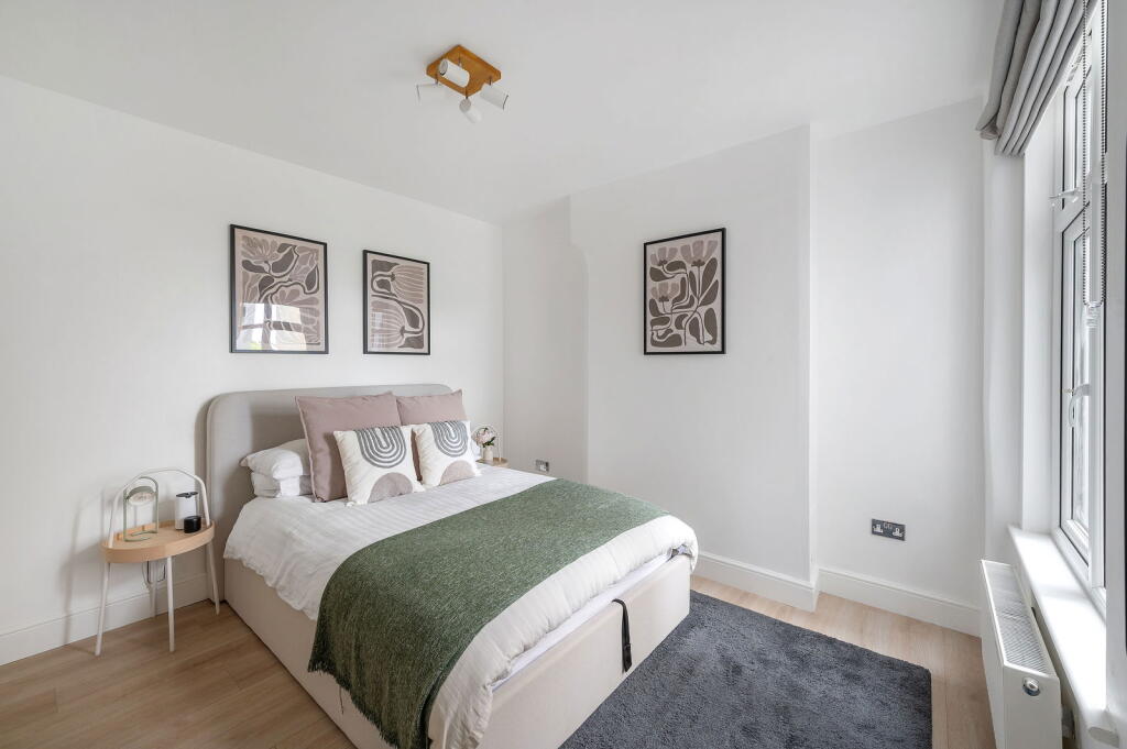
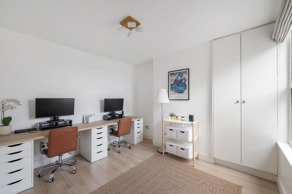
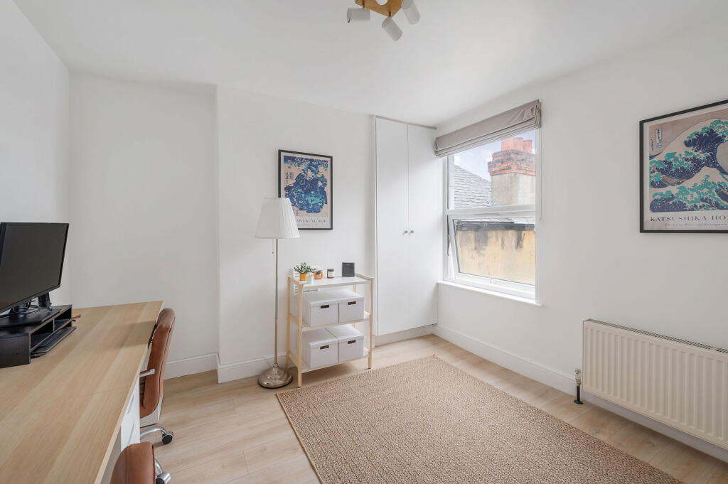
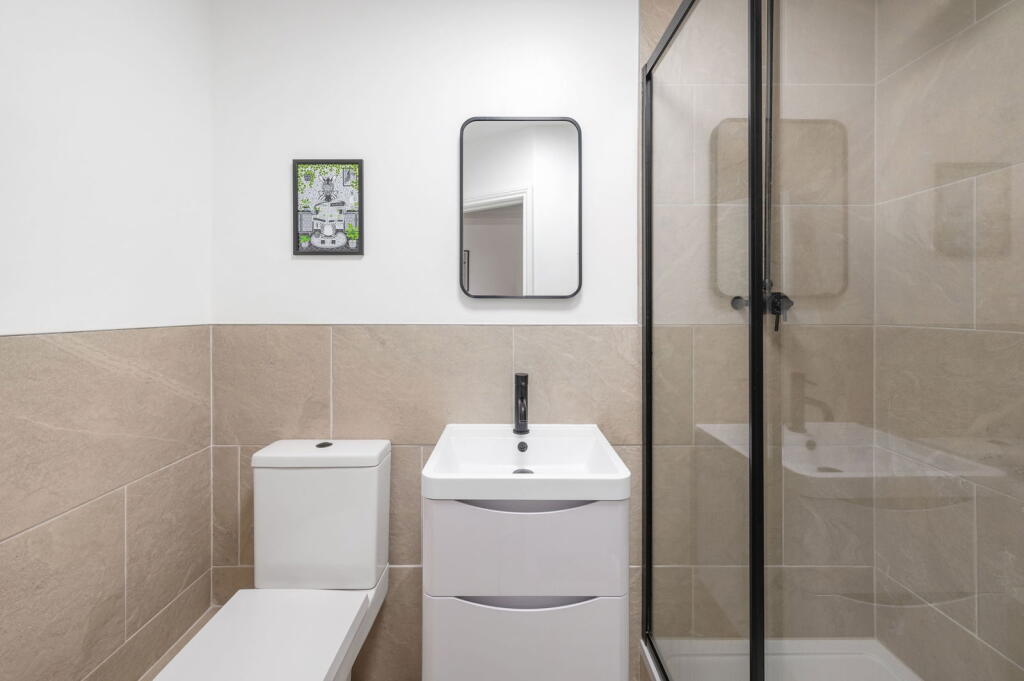
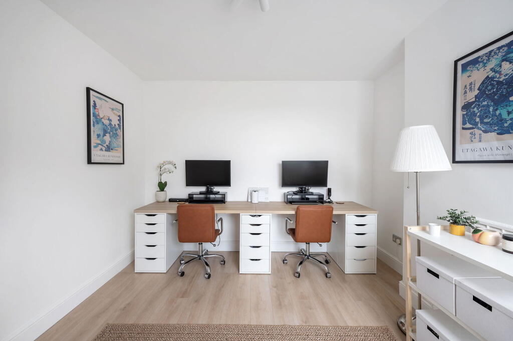
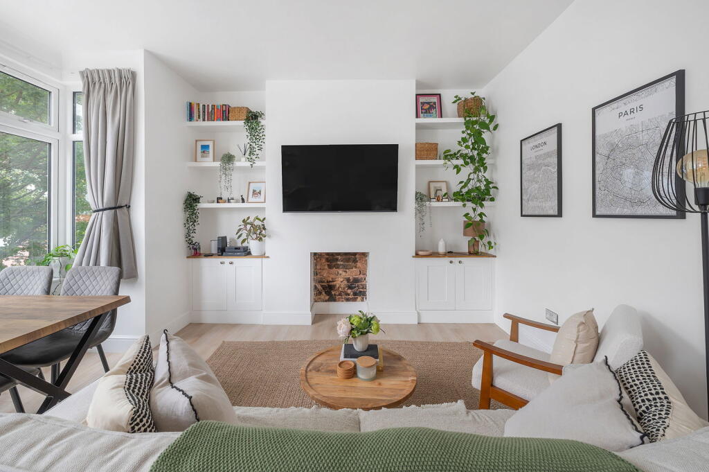
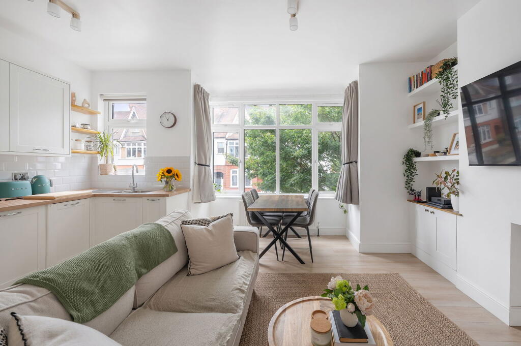
Images


Nearby Streets
| Name | Average Price | Average Sqft | Distance |
|---|---|---|---|
| Yeomans Close | £ 0 | 0 | 0.00 KM |
| Knollys Road | £ 390,000 | 0 | 0.00 KM |
| Caroline Close | £ 0 | 0 | 0.00 KM |
| Neil Wates Crescent | £ 375,000 | 0 | 0.00 KM |
| Tredwell Road | £ 0 | 0 | 0.00 KM |
Nearby Transport
| Name | NLC | TLC | Distance |
|---|---|---|---|
| West Norwood | 5438 | WNW | 0.97 KM |
| Tulse Hill | 5390 | TUH | 1.00 KM |
| Streatham Hill | 5435 | SRH | 1.71 KM |
| Streatham | 5383 | STE | 2.34 KM |
| Herne Hill | 5066 | HNH | 2.38 KM |
Nearby Listings
| Address | Price | Type | Score | Distance |
|---|---|---|---|---|
| Broxholm Road, SE27 0BJ | £ 3,000 | RENT | Unknown | 0.00 KM |
| Broxholm Road, West Norwood | £ 2,250 | RENT | Unknown | 0.02 KM |
| Broxholm Road, London, SE27 | £ 1,200 | RENT | Unknown | 0.05 KM |
| Broxholm Road, London, SE27 | £ 1,200 | RENT | Unknown | 0.05 KM |
| Broxholm Road, London, SE27 | £ 1,200 | RENT | Unknown | 0.05 KM |
Nearby Properties
| Address | Price | Distance |
|---|---|---|
| 135 Broxholm Road | £ 910,000 | 0.00 KM |
| 115a Broxholm Road | £ 80,000 | 0.00 KM |
| 115b Broxholm Road | £ 530,000 | 0.00 KM |
| 107 Broxholm Road | £ 420,500 | 0.00 KM |
| 125 Broxholm Road | £ 186,000 | 0.00 KM |