DA
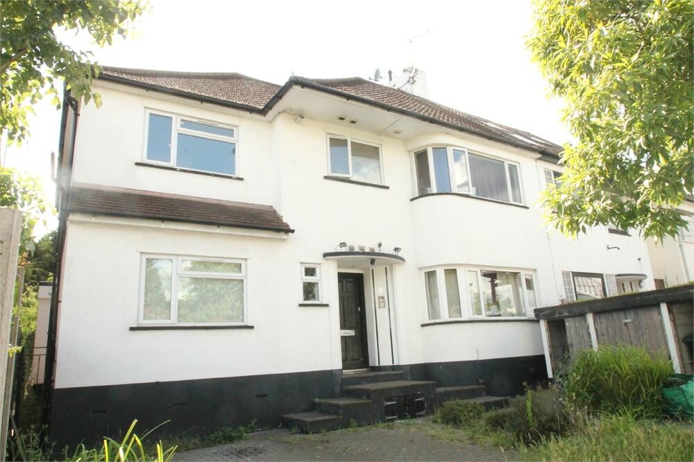
Wigram Road, WANSTEAD, E11
By DABORACONWAY
£ 1,900
DABORACONWAY says ..
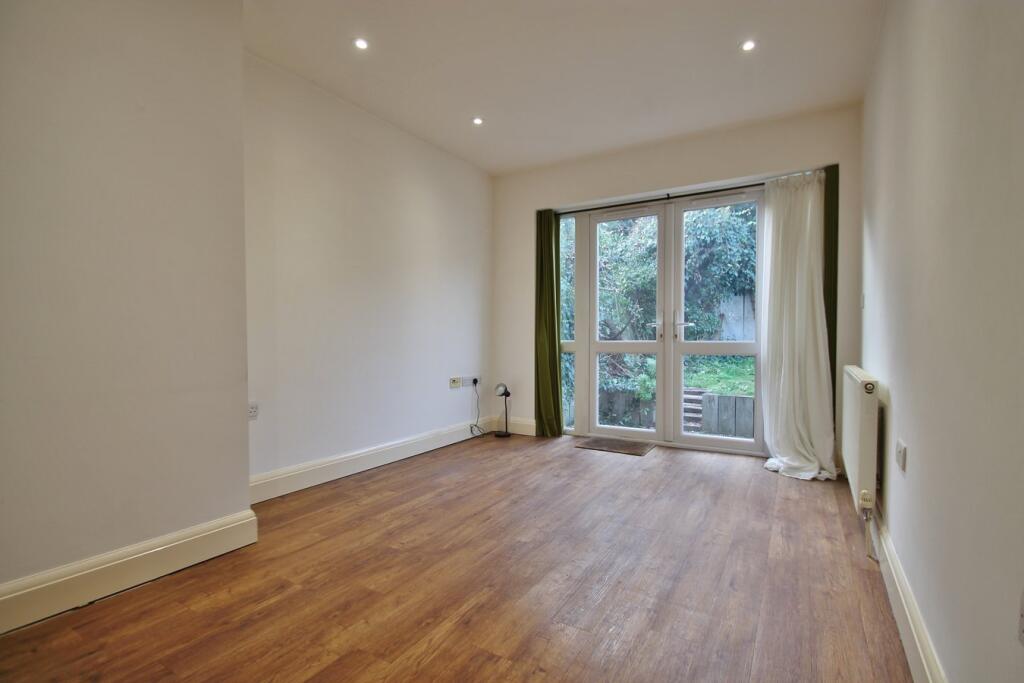
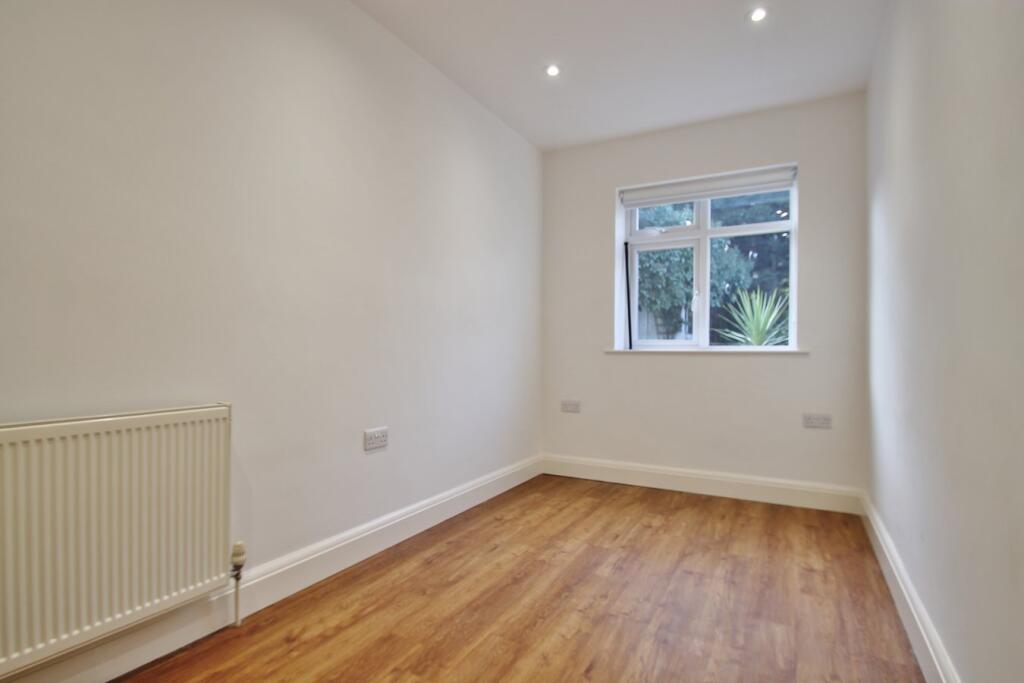
Well presented ground floor converted flat, with direct access to private rear garden, situated in a popular residential area close to Wanstead Central Line station and High Street.
- Bedrooms
- 2
- Bathrooms
- 1
The heatmap indicates the level of crime in the area. The color of the heatmap indicates the crime severity and recency.
Metrics Year-on-Year
- Average area value
- 787,500.00 £Decreased by 3.54 %
- Average area rental value
- 1,657.00 £/moDecreased by 12.28 %
- Est rental Yield
- 2.52 %Decreased by 9.35 %
- Crime Rate
- 10.00 %Unchanged by 0.00 %
from 816,403.00 £
from 1,889.00 £/mo
from 2.78 %
from 10.00 %
Agent Activity
DABORACONWAY created the listing.
Nearby Schools
| Name | Type | Ofsted | Distance |
|---|---|---|---|
| Wanstead High School | Community School | Good | 0.29 KM |
| Nightingale Primary School | Community School | Outstanding | 0.95 KM |
| Wanstead Church School | Voluntary Aided School | Outstanding | 1.04 KM |
| Wanstead Children'S Centre | Children's Centre | 1.19 KM | |
| Aldersbrook Primary School | Community School | Outstanding | 1.37 KM |
Images


Nearby Streets
| Name | Average Price | Average Sqft | Distance |
|---|---|---|---|
| Drummond Road | £ 1,000,000 | 0 | 0.00 KM |
| Elm Close | £ 0 | 0 | 0.00 KM |
| Corbett Road | £ 824,995 | 0 | 0.00 KM |
| Chester Road | £ 944,999 | 0 | 0.00 KM |
| Warren Road | £ 1,400,000 | 0 | 0.00 KM |
Nearby Transport
| Name | NLC | TLC | Distance |
|---|---|---|---|
| Wanstead Park | 7408 | WNP | 2.88 KM |
| Manor Park | 6883 | MNP | 3.01 KM |
| Leytonstone High Road | 7403 | LER | 3.15 KM |
| Forest Gate | 6876 | FOG | 3.19 KM |
| Woodgrange Park | 7467 | WGR | 3.25 KM |
Nearby Listings
| Address | Price | Type | Score | Distance |
|---|---|---|---|---|
| Wigram Road, Wanstead | £ 1,250 | RENT | Unknown | 0.02 KM |
| Wigram Road, Wanstead, E11 | £ 2,400 | RENT | Unknown | 0.04 KM |
| Wigram road, E11 | £ 1,250 | RENT | Unknown | 0.05 KM |
| Wigram Road, London, E11 | £ 2,300 | RENT | Unknown | 0.06 KM |
| Wigram Road, London, E11 | £ 2,600 | RENT | Unknown | 0.06 KM |
Nearby Properties
| Address | Price | Distance |
|---|---|---|
| 10 Wigram Road | £ 490,000 | 0.04 KM |
| 7a Wigram Road | £ 237,500 | 0.04 KM |
| 3 Wigram Road | £ 250,000 | 0.04 KM |
| 15 Wigram Road | £ 350,000 | 0.04 KM |
| 22 Wigram Road | £ 284,000 | 0.04 KM |