LE
ROWOOD DRIVE, Solihull, B92
By Leyland Lettings Ltd
£ 1,200
Leyland Lettings Ltd says ..
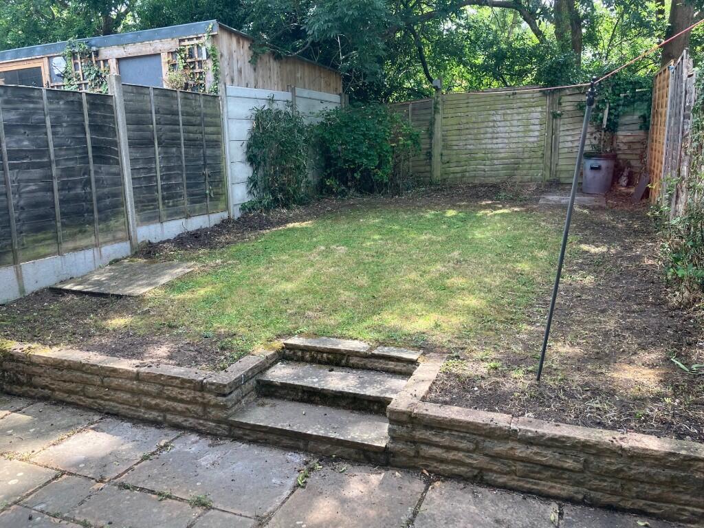
Three Bedroom Terraced House locate in Solihull
- Bedrooms
- 3
- Bathrooms
- 1
The heatmap indicates the level of crime in the area. The color of the heatmap indicates the crime severity and recency.
Metrics Year-on-Year
- Average area value
- 358,333.00 £Increased by 6.25 %
- Average area rental value
- 1,283.00 £/moDecreased by 3.24 %
- Est rental Yield
- 4.30 %Decreased by 8.90 %
- Crime Rate
- 0.00 %
from 337,265.00 £
from 1,326.00 £/mo
from 4.72 %
from 0.00 %
Agent Activity
Leyland Lettings Ltd created the listing.
Nearby Schools
| Name | Type | Ofsted | Distance |
|---|---|---|---|
| Damson Wood Nursery And Infant School | Academy Sponsor Led | Good | 0.65 KM |
| Triple Crown Centre | Pupil Referral Unit | Good | 0.71 KM |
| Lode Heath School | Academy Converter | Good | 0.82 KM |
| Tudor Grange Primary Academy Yew Tree | Academy Converter | 1.16 KM | |
| Coppice Junior School | Community School | Requires improvement | 1.18 KM |
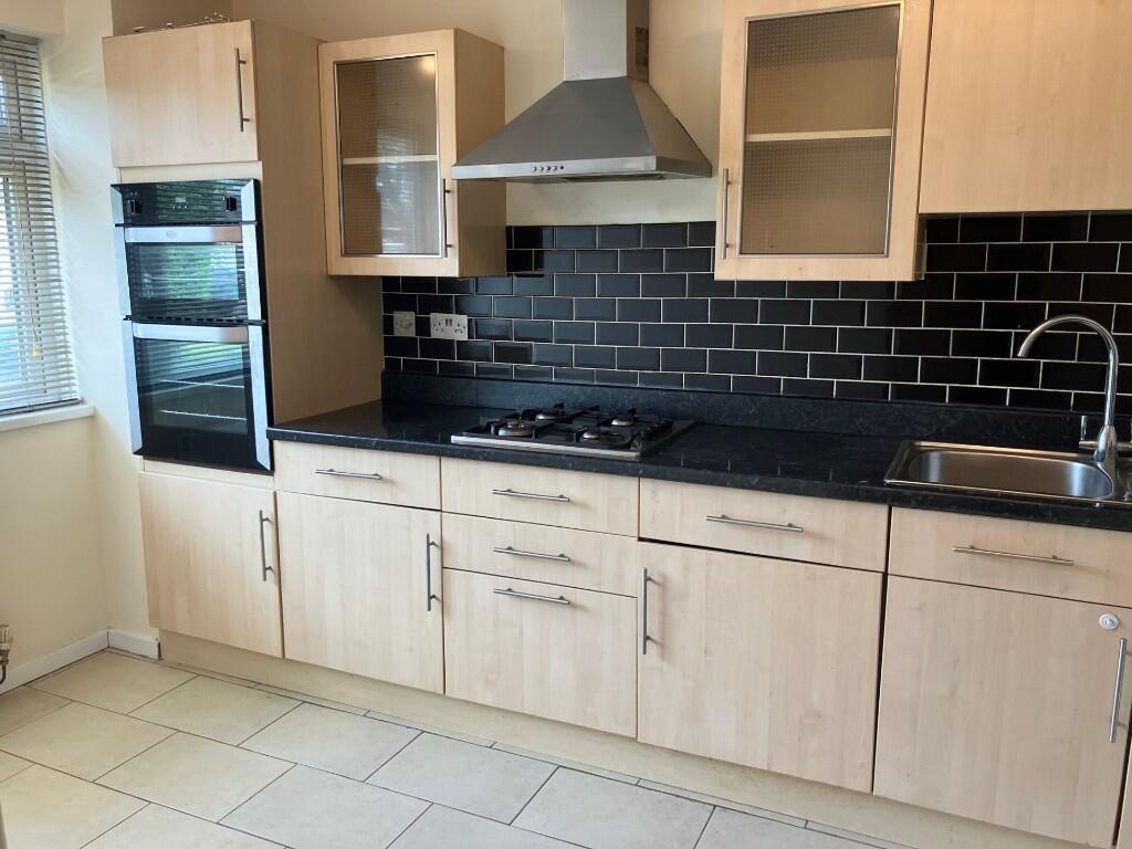
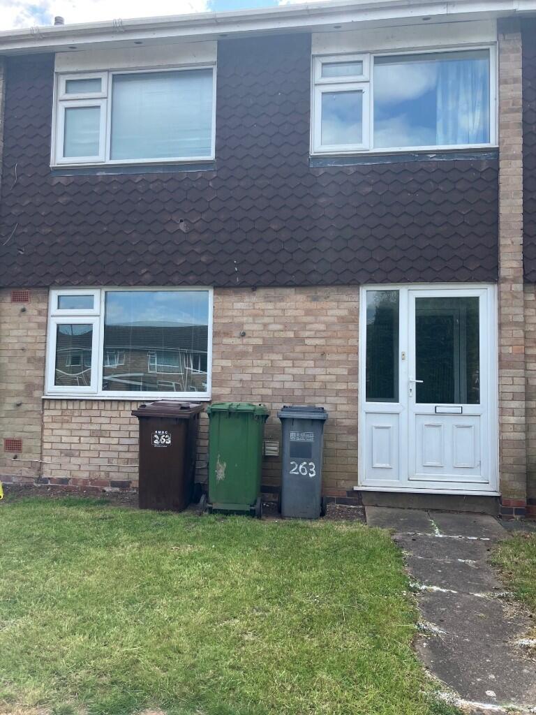
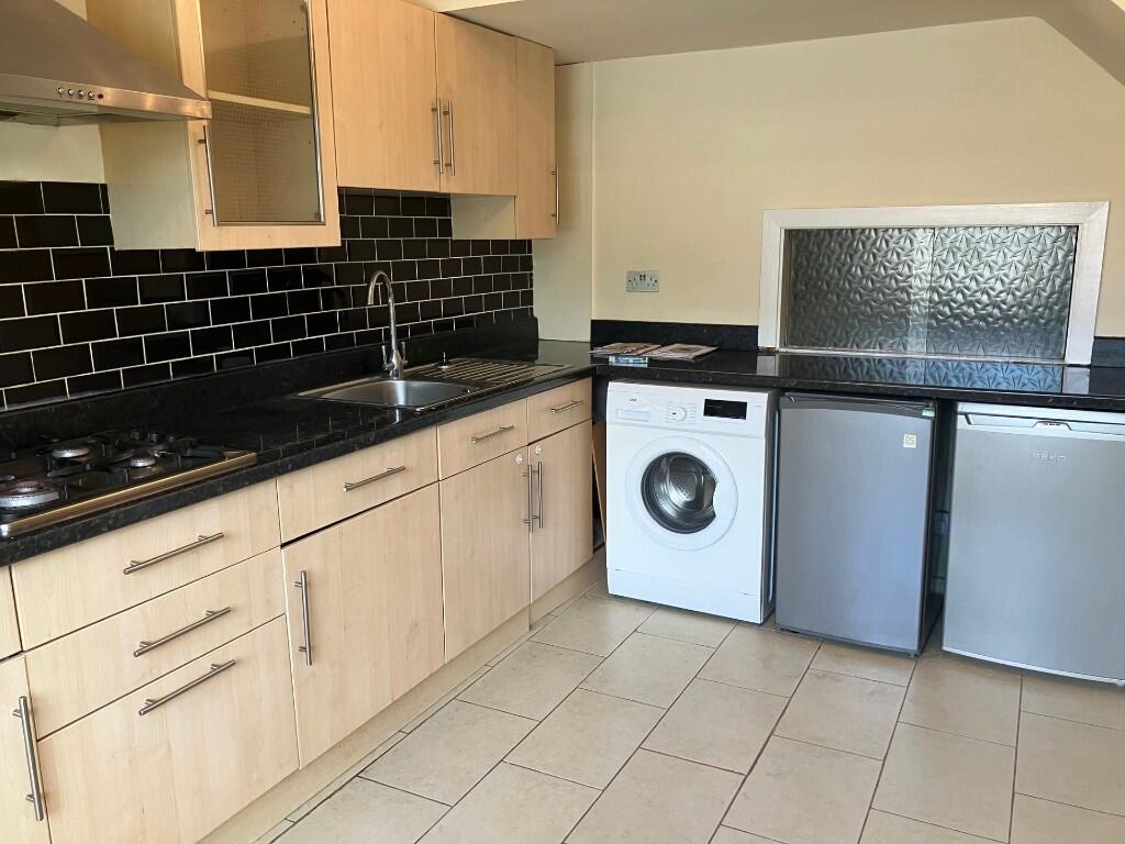
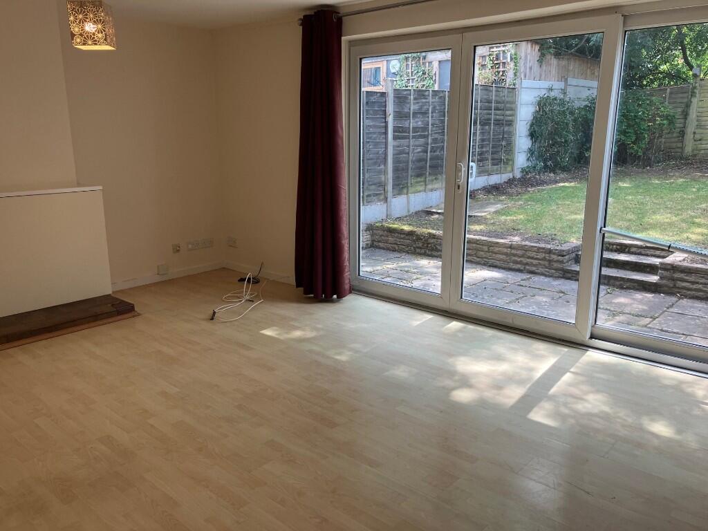
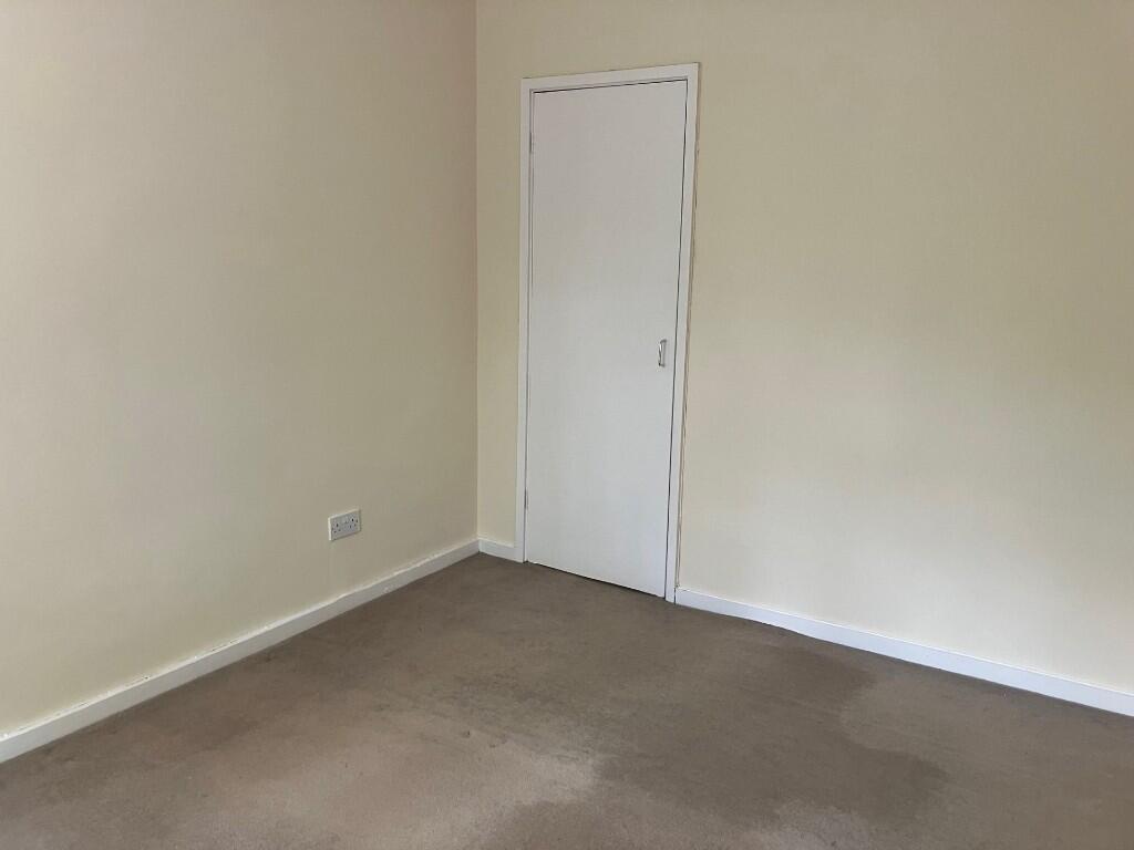
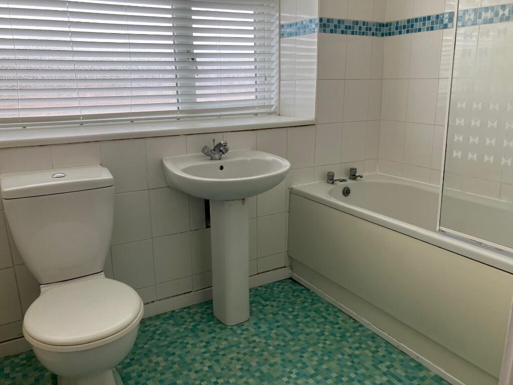
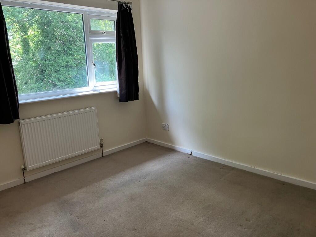
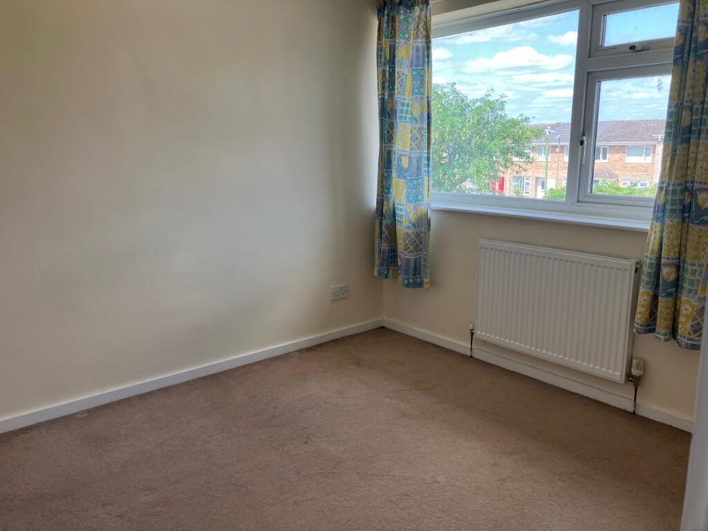
Images


Nearby Streets
| Name | Average Price | Average Sqft | Distance |
|---|---|---|---|
| Vulcan Road | £ 177,950 | 0 | 0.00 KM |
| Heath Road | £ 350,000 | 0 | 0.00 KM |
| Eastfield Drive | £ 0 | 0 | 0.00 KM |
| Wheatley Close | £ 0 | 0 | 0.00 KM |
| School Lane | £ 565,833 | 0 | 0.00 KM |
Nearby Transport
| Name | NLC | TLC | Distance |
|---|---|---|---|
| Solihull | 4527 | SOL | 2.36 KM |
| Widney Manor | 4528 | WMR | 3.58 KM |
| Olton | 4533 | OLT | 3.76 KM |
| Marston Green | 1034 | MGN | 4.72 KM |
| Birmingham International | 1215 | BHI | 5.70 KM |
Nearby Listings
| Address | Price | Type | Score | Distance |
|---|---|---|---|---|
| ROWOOD DRIVE, Solihull, B92 | £ 1,200 | RENT | Unknown | 0.00 KM |
| Rowood Drive, Solihull, B92 9LG | £ 875 | RENT | Unknown | 0.00 KM |
| 298 Wharf LaneSolihull | £ 1,195 | RENT | Unknown | 0.08 KM |
| Wharf Lane, Solihull | £ 850 | RENT | Unknown | 0.10 KM |
| Wharf Lane, Solihull, West Midlands, B91 | £ 995 | RENT | Unknown | 0.11 KM |
Nearby Properties
| Address | Price | Distance |
|---|---|---|
| 402 Rowood Drive | £ 141,000 | 0.00 KM |
| 380 Rowood Drive | £ 119,500 | 0.00 KM |
| 408 Rowood Drive | £ 84,950 | 0.00 KM |
| 386 Rowood Drive | £ 120,500 | 0.00 KM |
| 388 Rowood Drive | £ 165,000 | 0.00 KM |