
MA
Howes Avenue, Thurston
By Martin & Co
£ 1,600
Martin & Co says ..
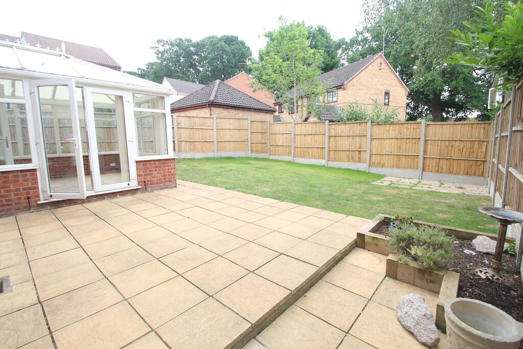
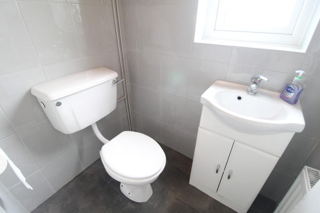
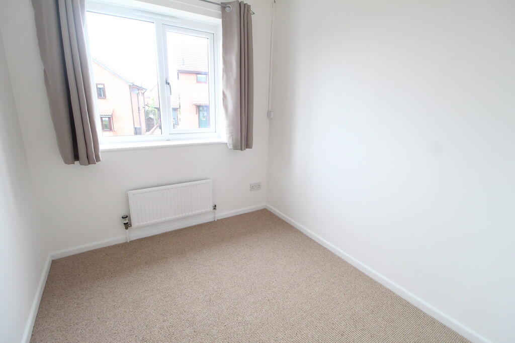
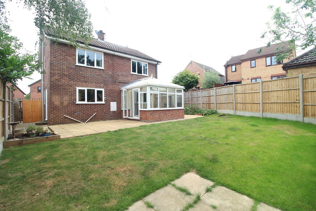
Property located in Howes Avenue, Thurston
- Bedrooms
- 3
- Bathrooms
- 0
The heatmap indicates the level of crime in the area. The color of the heatmap indicates the crime severity and recency.
Metrics Year-on-Year
- Average area value
- 418,571.00 £Decreased by 7.66 %
- Average area rental value
- 1,600.00 £/moIncreased by 55.19 %
- Est rental Yield
- 4.59 %Increased by 68.13 %
- Crime Rate
- 43.00 %Unchanged by 0.00 %
from 453,306.00 £
from 1,031.00 £/mo
from 2.73 %
from 43.00 %
Agent Activity
Martin & Co created the listing.
Nearby Schools
| Name | Type | Ofsted | Distance |
|---|---|---|---|
| Thurston Community College | Community School | Good | 0.29 KM |
| Rougham Church Of England Primary School | Academy Sponsor Led | 2.91 KM | |
| Great Barton Church Of England Primary Academy | Academy Converter | 4.71 KM | |
| Sybil Andrews Academy | Academy Sponsor Led | Requires improvement | 5.72 KM |
| Ixworth Church Of England Primary School | Academy Sponsor Led | 5.98 KM |
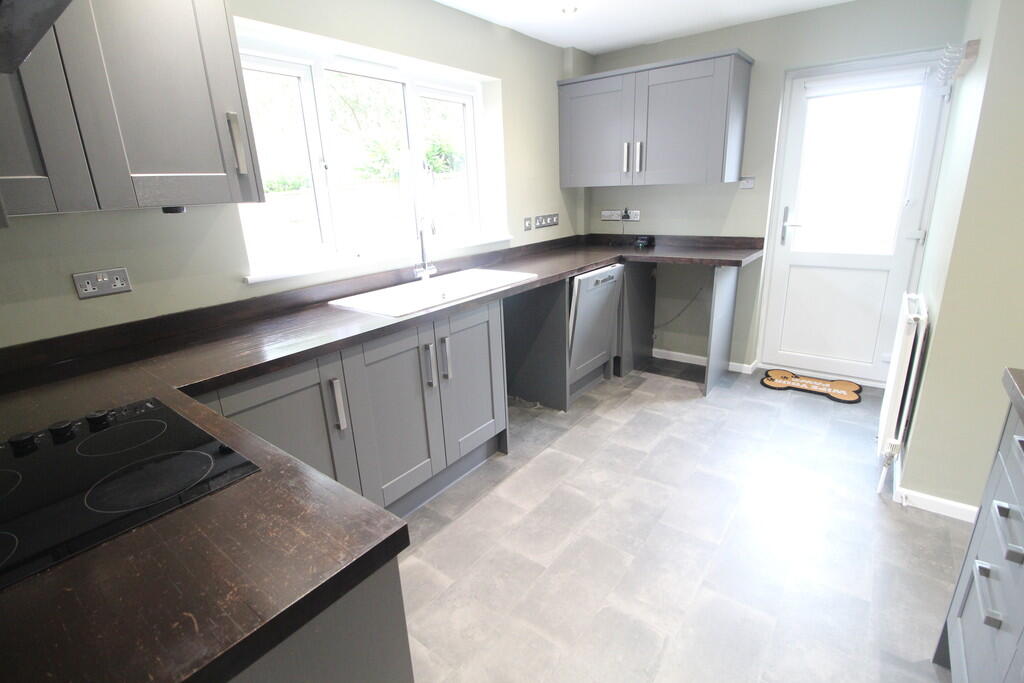
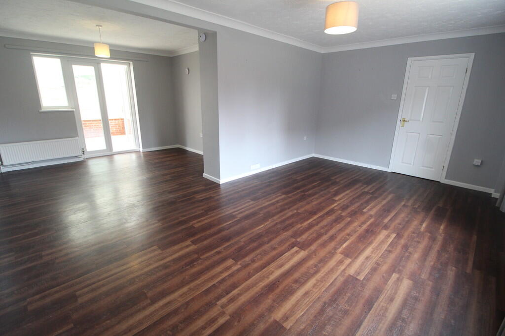
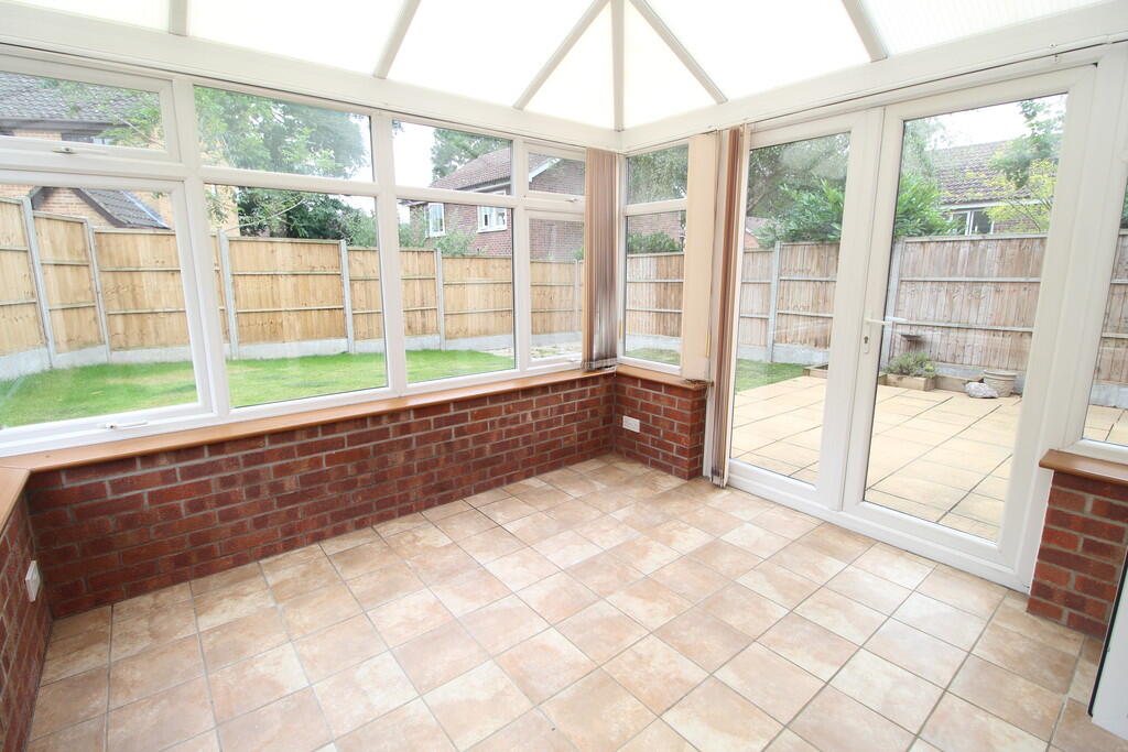
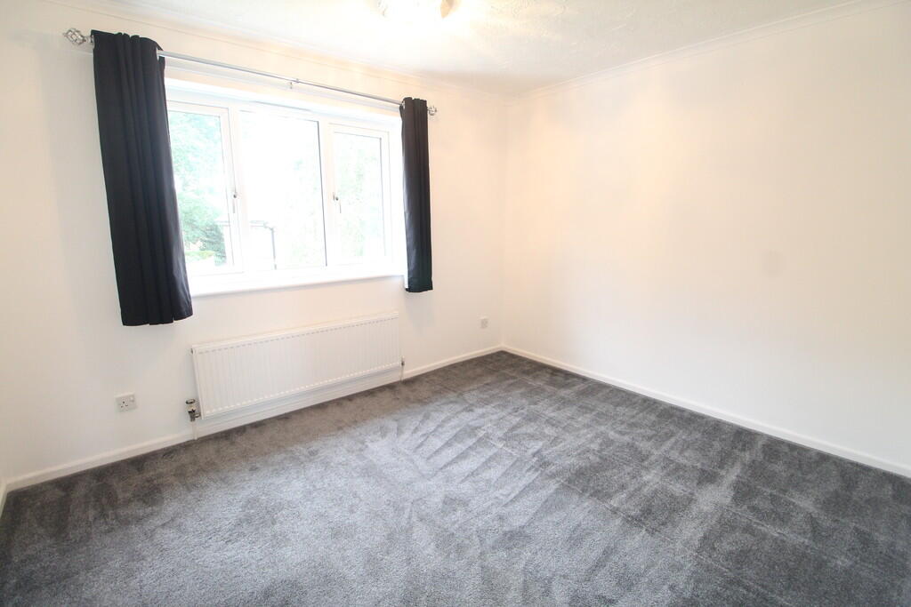
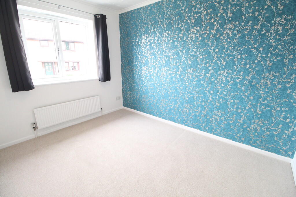
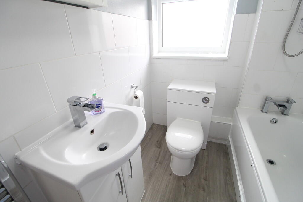
Images

Nearby Streets
| Name | Average Price | Average Sqft | Distance |
|---|---|---|---|
| Hunter Drive | £ 0 | 0 | 0.00 KM |
| Blenheim Drive | £ 0 | 0 | 0.00 KM |
| The Acorns | £ 575,000 | 0 | 0.00 KM |
| Bassett Road | £ 330,000 | 0 | 0.00 KM |
| Skipper Close | £ 370,000 | 0 | 0.00 KM |
Nearby Transport
| Name | NLC | TLC | Distance |
|---|---|---|---|
| Thurston | 7356 | TRS | 0.25 KM |
Nearby Listings
| Address | Price | Type | Score | Distance |
|---|---|---|---|---|
| Howes Avenue, IP31 | £ 1,325 | RENT | Unknown | 0.00 KM |
| Howes Avenue, Thurston | £ 1,600 | RENT | Unknown | 0.00 KM |
| Oakwood Drive, Thurston, Bury St. Edmunds | £ 1,650 | RENT | Unknown | 0.13 KM |
| Robin Close, Thurston, IP31 | £ 1,325 | RENT | Unknown | 0.15 KM |
| Thurston Granary, Station Hill | £ 1,100 | RENT | Unknown | 0.18 KM |
Nearby Properties
| Address | Price | Distance |
|---|---|---|
| 46 Howes Avenue | £ 211,000 | 0.00 KM |
| 82 Howes Avenue | £ 235,000 | 0.00 KM |
| 28 Howes Avenue | £ 182,500 | 0.00 KM |
| 74 Howes Avenue | £ 185,000 | 0.00 KM |
| 64 Howes Avenue | £ 138,500 | 0.00 KM |