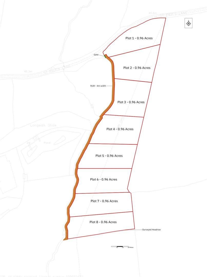
Plot 5, Land at St. Piers Lane, Lingfield
By Ibbett Mosely
£ 27,000
Reviews
3 out of 5 stars
Ibbett Mosely says ..
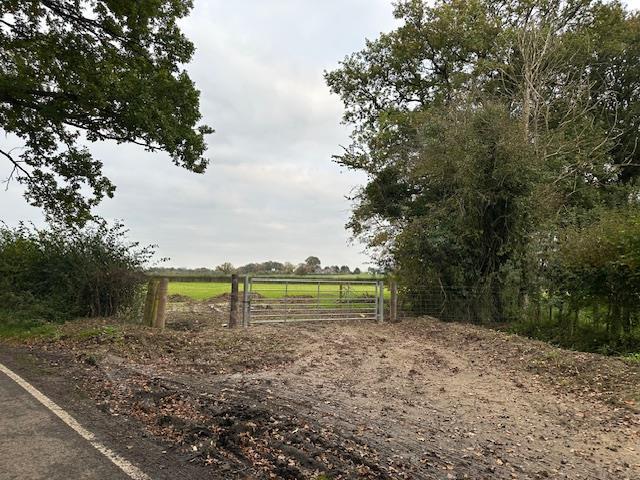
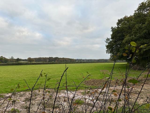
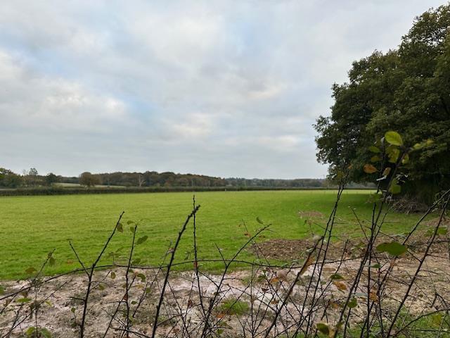
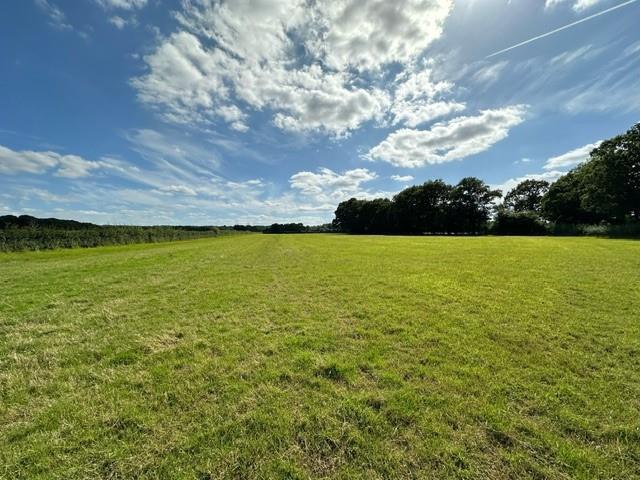
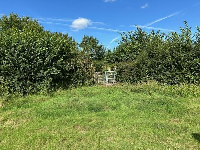
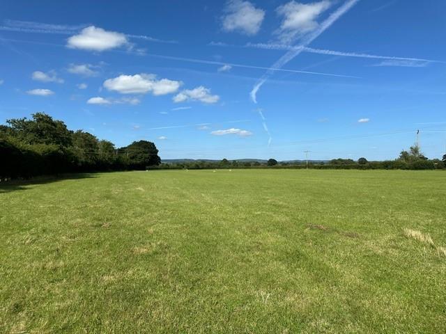
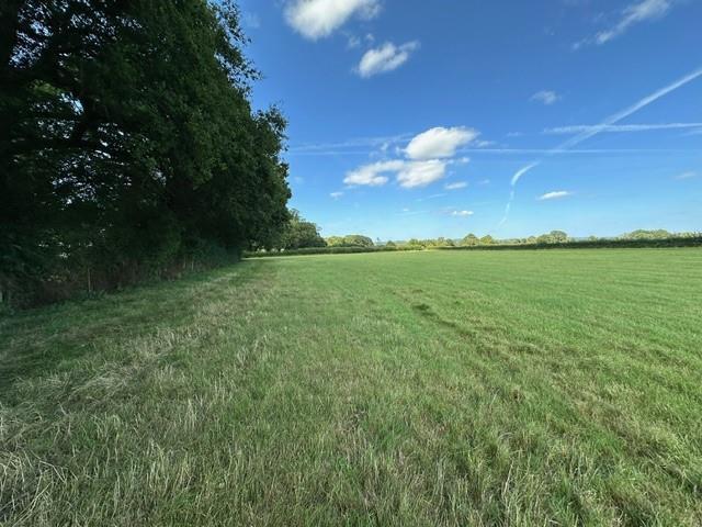
Starting price £27,000 Being sold via Secure Sale online bidding. Terms & Conditions apply. Grazing land opportunity with this attractive grazing land situated in a quiet lane. The land extends to approaching an acre and is currently used for sheep grazing and the land has a shared vehicular righ...
Property Oracle says ..
This is a plot of land located in Lingfield, Surrey. The plot size is 3,885 sqft. The location is near St Piers School and Dormansland Primary School, both rated ‘Good’ by Ofsted. Lingfield train station is 1.68 km away. The average price per sqft in the area is £54. The listing price for this land is £27,000. Similar plots of land on St. Piers Lane are listed at the same price. The average property price in the area is £808,283.
Therefore, we give this property 7 / 10. *Disclaimer: This is our option and does constitute a recommendation or financial advice. Do your own research. *
- Price
- 9
- Condition
- 0
- Location
- 7
- Land
- 7
- Bedrooms
- 0
- Bathrooms
- 0
- Lot (est)
- 3,885.00
The heatmap indicates the level of crime in the area. The color of the heatmap indicates the crime severity and recency.
Metrics Year-on-Year
- Average area value
- 808,283.00 £Decreased by 5.59 %
- Average area rental value
- 2,831.00 £/moIncreased by 13.24 %
- Est rental Yield
- 4.20 %Increased by 20.00 %
- Crime Rate
- 0.00 %
Agent Activity
Ibbett Mosely created the listing.
Nearby Schools
| Name | Type | Ofsted | Distance |
|---|---|---|---|
| St Piers Sure Start Children'S Centre | Children's Centre | 0.16 KM | |
| St Piers School | Non-maintained Special School | Good | 0.31 KM |
| St Piers College (Young Epilepsy) | Special Post 16 Institution | Good | 0.31 KM |
| Lingfield College | Other Independent School | 0.60 KM | |
| Dormansland Primary School | Community School | Good | 1.52 KM |
Images

Nearby Streets
| Name | Average Price | Average Sqft | Distance |
|---|---|---|---|
| Plough Road | £ 0 | 0 | 0.00 KM |
| Lane End | £ 1,200,000 | 0 | 0.00 KM |
| High Street | £ 650,000 | 0 | 0.00 KM |
| Pauls Mead | £ 0 | 0 | 0.00 KM |
Nearby Transport
| Name | NLC | TLC | Distance |
|---|---|---|---|
| Lingfield | 5369 | LFD | 1.68 KM |
| Dormans | 5413 | DMS | 2.41 KM |
| East Grinstead | 5486 | EGR | 6.00 KM |
| Edenbridge(Kent) | 5473 | EBR | 7.00 KM |
| Edenbridge Town | 5359 | EBT | 7.19 KM |
Nearby Listings
| Address | Price | Type | Score | Distance |
|---|---|---|---|---|
| Plot 10, Land at St. Piers Lane, Lingfield | £ 27,000 | BUY | 6 / 10 | 0.00 KM |
| Plot 11, Land at St. Piers Lane, Lingfield | £ 27,000 | BUY | Unknown | 0.00 KM |
| Plot 7, Land at St. Piers Lane, Lingfield | £ 27,000 | BUY | 8 / 10 | 0.00 KM |
| Plot 12, Land at St. Piers Lane, Lingfield | £ 27,000 | BUY | 9 / 10 | 0.00 KM |
| Plot 4, Land at St. Piers Lane, Lingfield | £ 27,000 | BUY | 9 / 10 | 0.00 KM |
Nearby Properties
| Address | Price | Distance |
|---|---|---|
| Dormans Corner Cottage | £ 896,000 | 0.76 KM |
| 4 Dormans Road | £ 364,500 | 0.81 KM |
| 1 Dormans Road | £ 405,000 | 0.81 KM |
| Elsinore | £ 360,000 | 0.81 KM |
| 3 Dormans Road | £ 175,000 | 0.81 KM |