RE
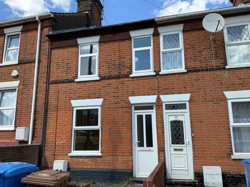
Philip Road, Ipswich, Suffolk, IP2
By Rents PMS
£ 995
Rents PMS says ..
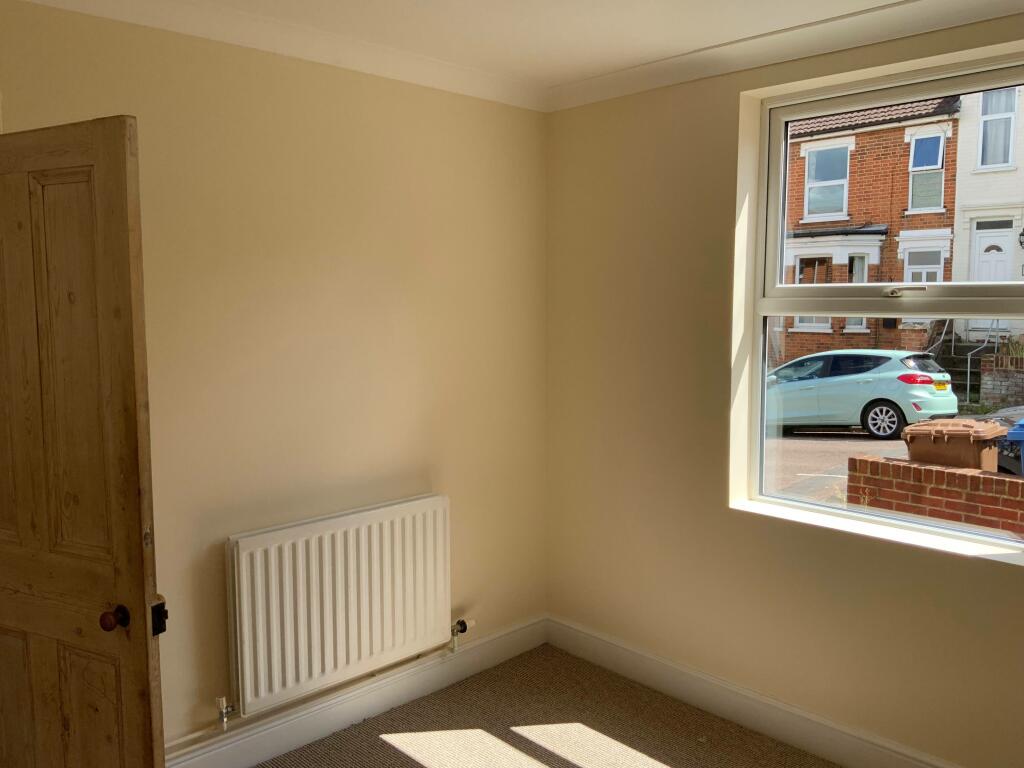
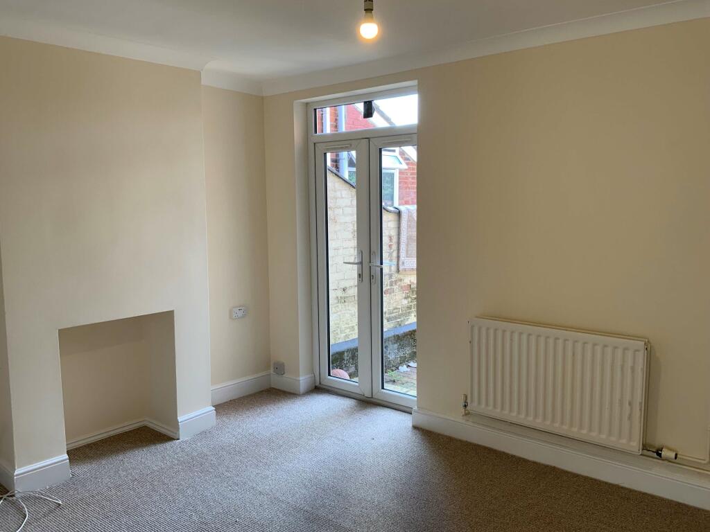
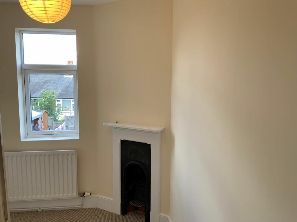
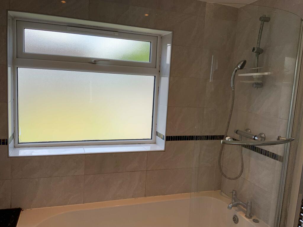
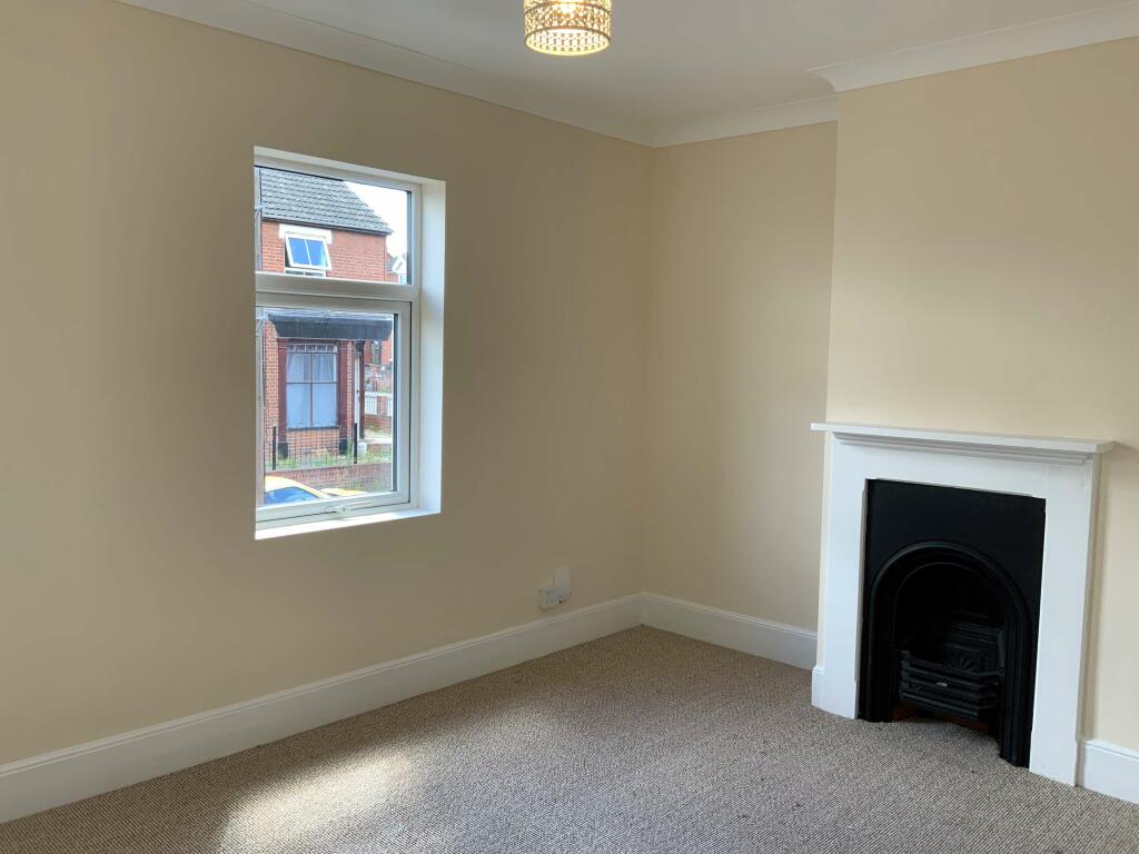
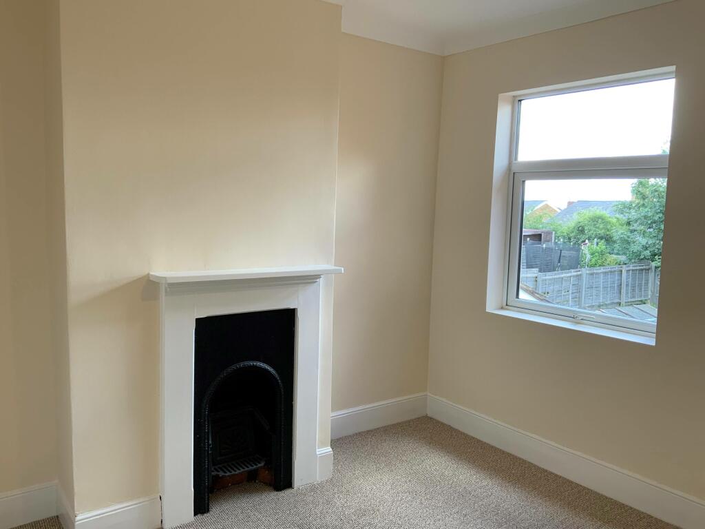
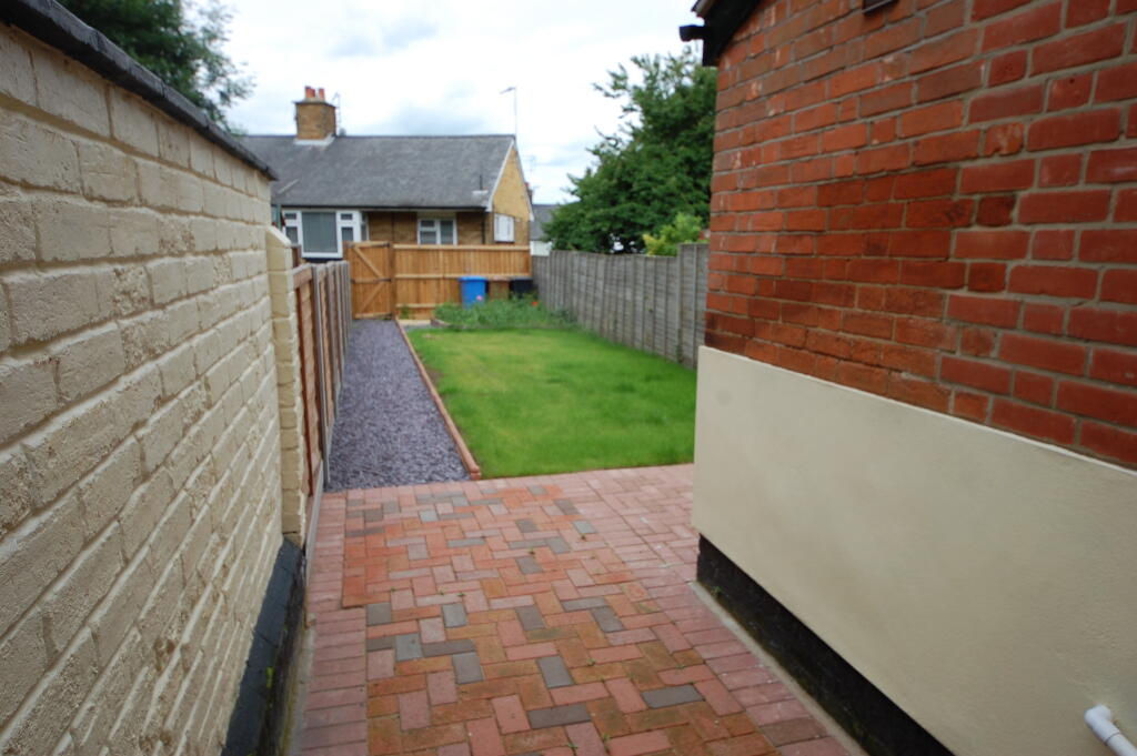
3 Bedroom Unfurnished Terrace East of Ipswich Dishwasher and Washing Machine included Gas Central Heating & UPVC Windows
- Bedrooms
- 3
- Bathrooms
- 1
The heatmap indicates the level of crime in the area. The color of the heatmap indicates the crime severity and recency.
Metrics Year-on-Year
- Average area value
- 320,968.00 £Decreased by 12.07 %
- Average area rental value
- 1,437.00 £/moDecreased by 3.56 %
- Est rental Yield
- 5.37 %Increased by 9.59 %
- Crime Rate
- 5.00 %Unchanged by 0.00 %
from 365,009.00 £
from 1,490.00 £/mo
from 4.90 %
from 5.00 %
Agent Activity
Rents PMS created the listing.
Nearby Schools
| Name | Type | Ofsted | Distance |
|---|---|---|---|
| Hillside Primary School | Academy Sponsor Led | Requires improvement | 0.34 KM |
| Hillside Children'S Centre | Children's Centre | 0.54 KM | |
| Stoke High School - Ormiston Academy | Academy Sponsor Led | Requires improvement | 0.70 KM |
| St Matthew'S Church Of England Primary School, Ipswich | Academy Converter | 1.18 KM | |
| Halifax Primary School | Academy Converter | Good | 1.19 KM |
Images
Nearby Streets
| Name | Average Price | Average Sqft | Distance |
|---|---|---|---|
| Vernon Street | £ 0 | 0 | 0.00 KM |
| Quadling Street | £ 222,000 | 0 | 0.00 KM |
| Bridge Street | £ 0 | 0 | 0.00 KM |
| Grey Friars Road | £ 0 | 0 | 0.00 KM |
| St. Peters Street | £ 0 | 0 | 0.00 KM |
Nearby Transport
| Name | NLC | TLC | Distance |
|---|---|---|---|
| Ipswich | 7217 | IPS | 0.75 KM |
| Derby Road (Ipswich) | 7212 | DBR | 3.50 KM |
| Westerfield | 7226 | WFI | 3.91 KM |
Nearby Listings
| Address | Price | Type | Score | Distance |
|---|---|---|---|---|
| Stoke Hall Road, Ipswich, Suffolk, IP2 | £ 1,250 | RENT | Unknown | 0.12 KM |
| Shelley Street, Ipswich, IP2 | £ 925 | RENT | Unknown | 0.18 KM |
| Luther Road, Ipswich, Suffolk, IP2 | £ 1,000 | RENT | Unknown | 0.18 KM |
| Shelley Street, Ipswich, Suffolk, IP2 | £ 950 | RENT | Unknown | 0.20 KM |
| Burrell Road, Ipswich, IP2 | £ 650 | RENT | Unknown | 0.21 KM |
Nearby Properties
| Address | Price | Distance |
|---|---|---|
| 18 Philip Road | £ 93,000 | 0.00 KM |
| 9 Philip Road | £ 110,300 | 0.00 KM |
| 2 Philip Road | £ 232,000 | 0.01 KM |
| 1 Philip Road | £ 169,500 | 0.01 KM |
| 6 Philip Road | £ 190,000 | 0.01 KM |