HA
HILLSIDE, BRANDON IP27 0NN
By Hazells Chartered Surveyors
£ 1,150
Hazells Chartered Surveyors says ..
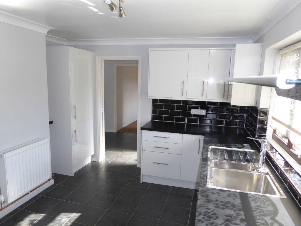
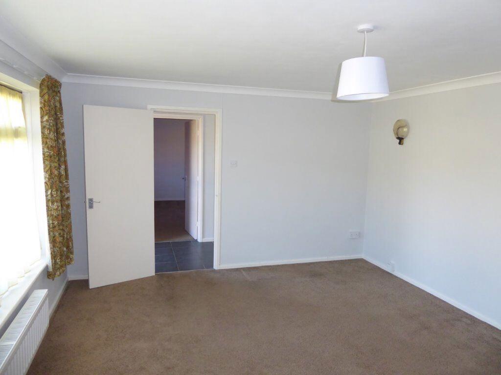
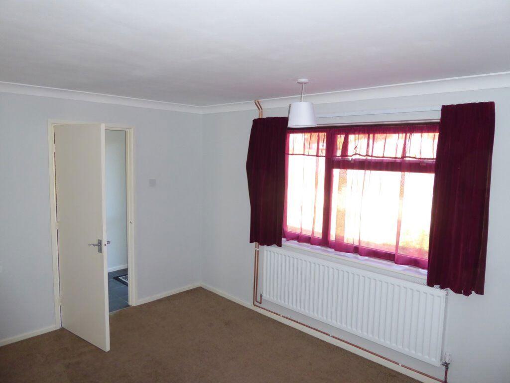
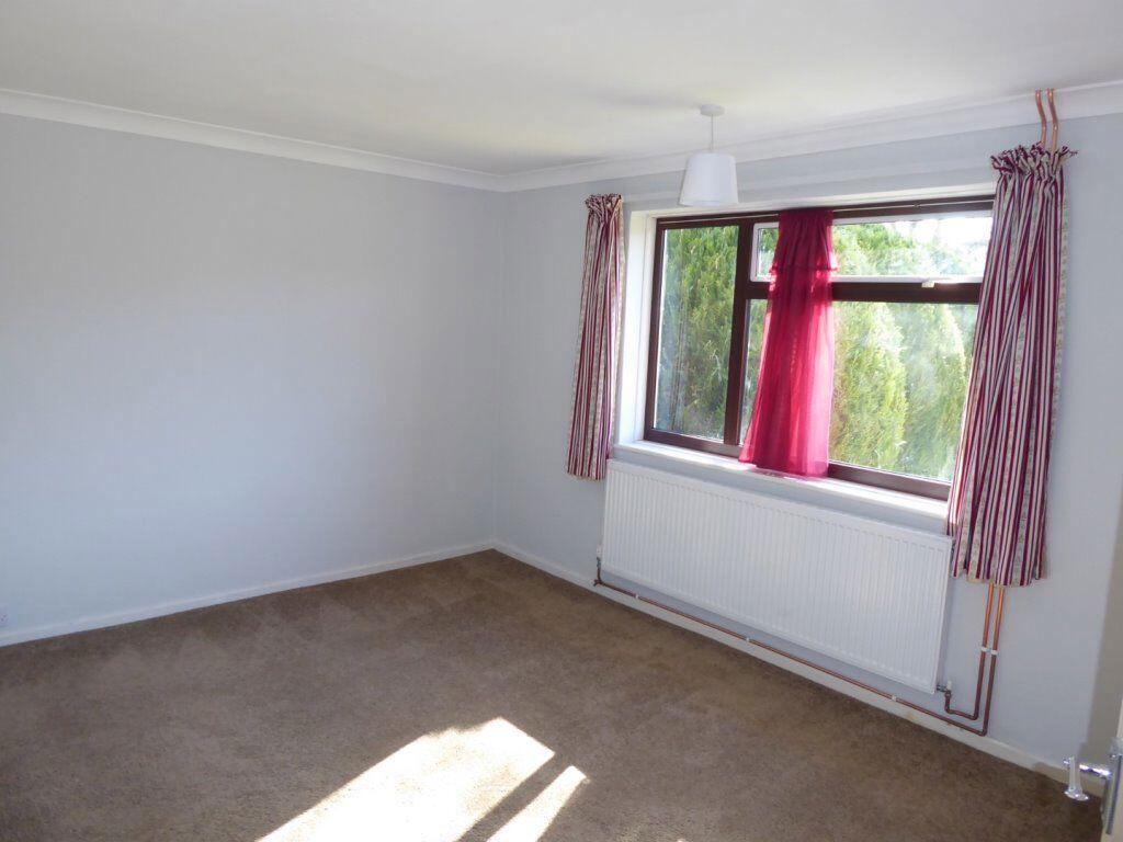
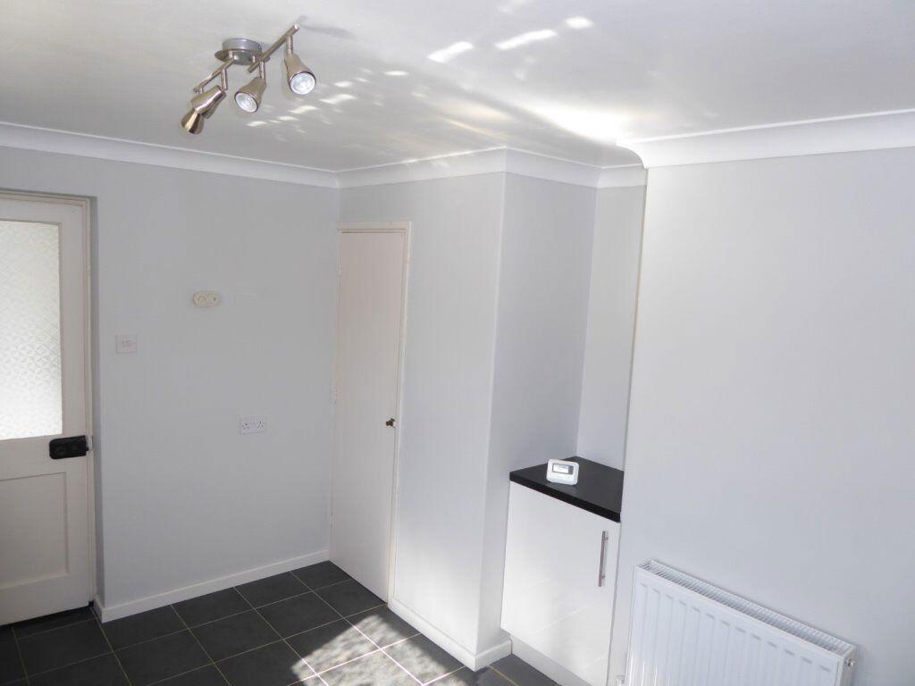
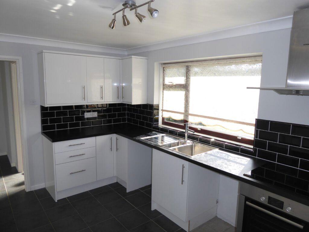
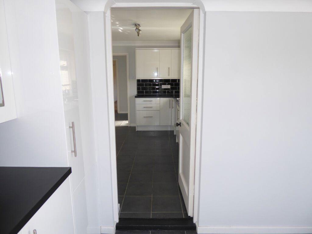
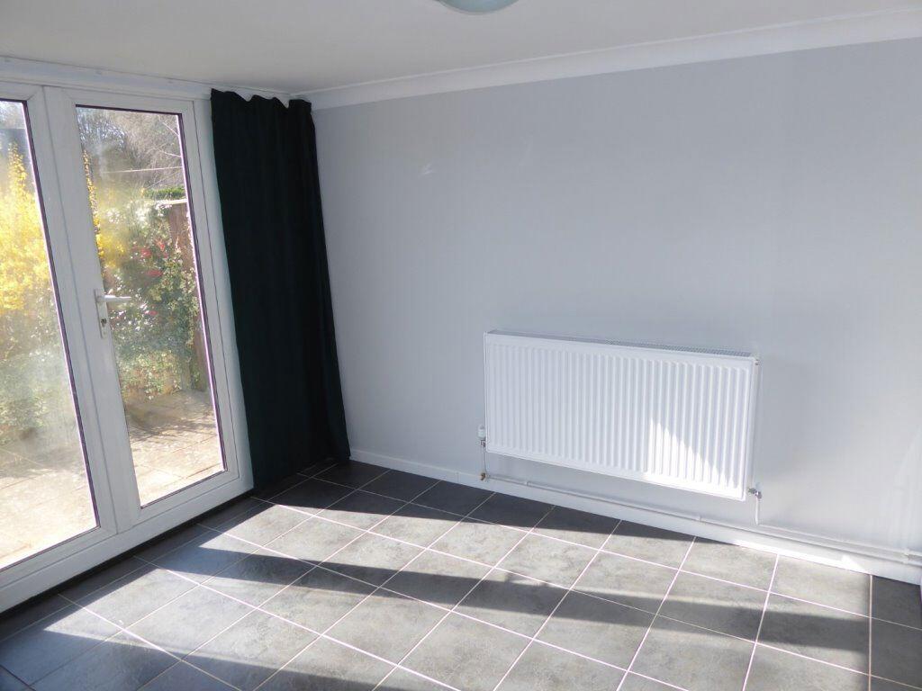
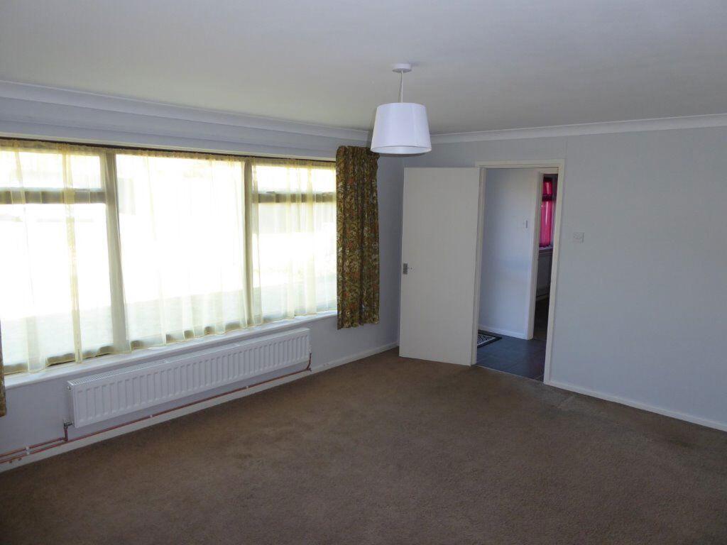
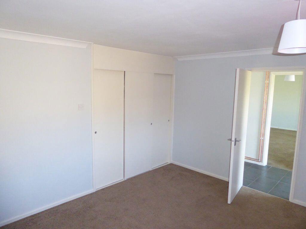
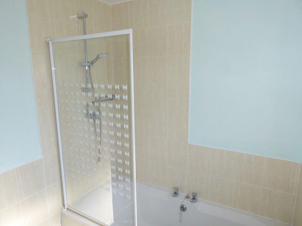
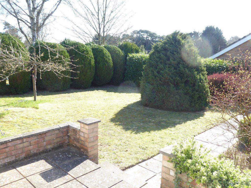
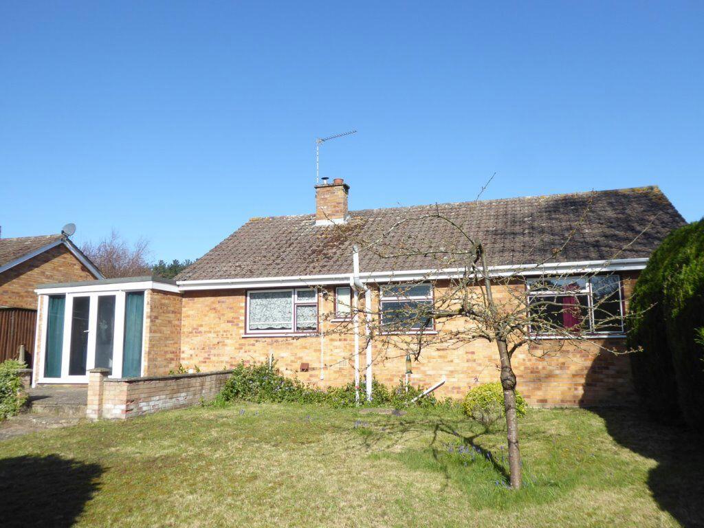
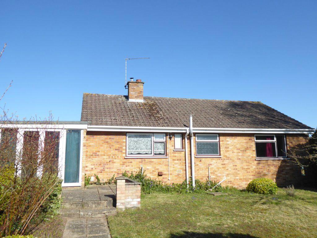
****WONDERFULLY APPOINTED SPACIOUS 2 BED BUNGALOW IN QUIET CUL-DE-SAC LOCATION*** The accommodation comprises an entrance hall, with large sitting room, two good size double bedrooms, bathroom with shower over the bath, wc and basin, light and bright kitchen fitted with contemp...
- Bedrooms
- 2
- Bathrooms
- 1
The heatmap indicates the level of crime in the area. The color of the heatmap indicates the crime severity and recency.
Metrics Year-on-Year
- Average area value
- 223,188.00 £Decreased by 13.36 %
- Average area rental value
- 1,283.00 £/moIncreased by 2.15 %
- Est rental Yield
- 6.90 %Increased by 17.95 %
- Crime Rate
- 9.00 %Unchanged by 0.00 %
from 257,594.00 £
from 1,256.00 £/mo
from 5.85 %
from 9.00 %
Agent Activity
Hazells Chartered Surveyors created the listing.
Nearby Schools
| Name | Type | Ofsted | Distance |
|---|---|---|---|
| Breckland School | Free Schools | Good | 0.48 KM |
| Forest Academy | Academy Converter | Requires improvement | 2.75 KM |
| Brandon Children'S Centre | Children's Centre | 2.78 KM | |
| Glade Academy | Academy Sponsor Led | 3.22 KM | |
| Methwold Children'S Centre | Children's Centre | 3.61 KM |
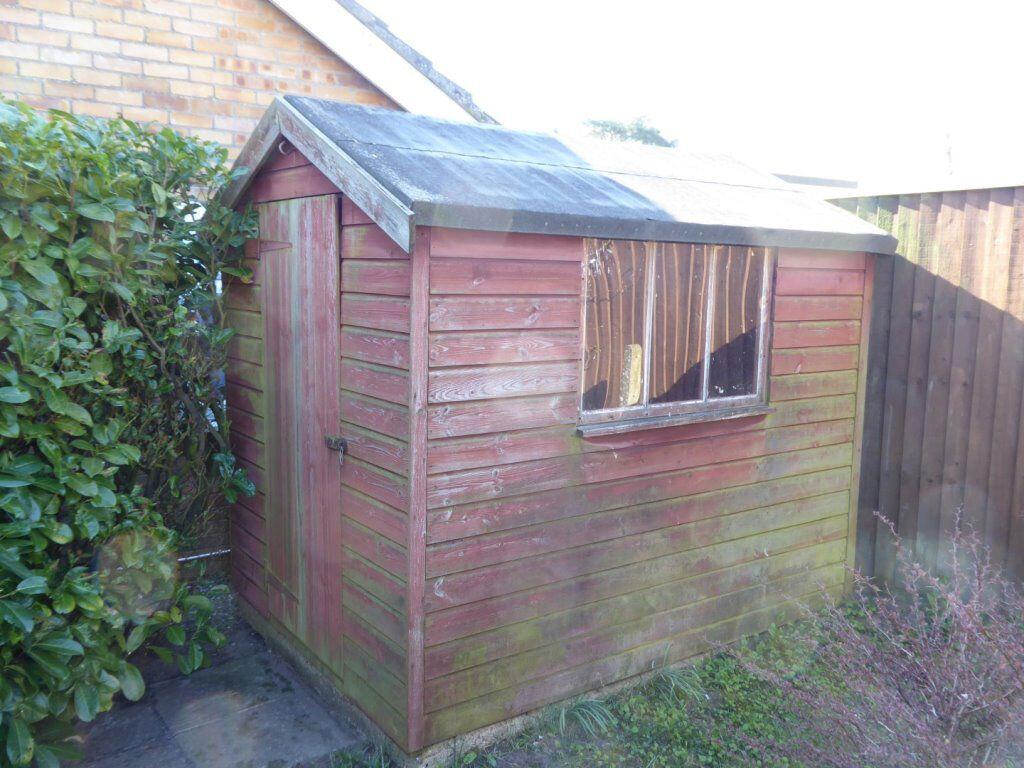
Images


Nearby Streets
| Name | Average Price | Average Sqft | Distance |
|---|---|---|---|
| West Drive | £ 0 | 0 | 0.00 KM |
| Richmond Road | £ 0 | 0 | 0.00 KM |
| Ashdale Park | £ 0 | 0 | 0.00 KM |
| St Peters Place | £ 0 | 0 | 0.00 KM |
| Church End | £ 350,000 | 0 | 0.00 KM |
Nearby Transport
| Name | NLC | TLC | Distance |
|---|---|---|---|
| Brandon | 7200 | BND | 3.29 KM |
| Lakenheath | 7201 | LAK | 7.31 KM |
Nearby Listings
| Address | Price | Type | Score | Distance |
|---|---|---|---|---|
| HILLSIDE, BRANDON IP27 0NN | £ 1,150 | RENT | Unknown | 0.00 KM |
| Woodlands Rise, BRANDON | £ 1,350 | RENT | Unknown | 0.19 KM |
| Woodlands Rise, Brandon, Suffolk, IP27 | £ 1,095 | RENT | Unknown | 0.33 KM |
| Seymour Avenue, Brandon | £ 1,300 | RENT | Unknown | 0.48 KM |
| Edmund Road, BRANDON | £ 700 | RENT | Unknown | 0.53 KM |
Nearby Properties
| Address | Price | Distance |
|---|---|---|
| 22 Hillside | £ 308,000 | 0.05 KM |
| 26 Hillside | £ 216,000 | 0.05 KM |
| 10 Hillside | £ 240,000 | 0.05 KM |
| 12 Hillside | £ 217,500 | 0.05 KM |
| 2 Hillside | £ 222,500 | 0.07 KM |