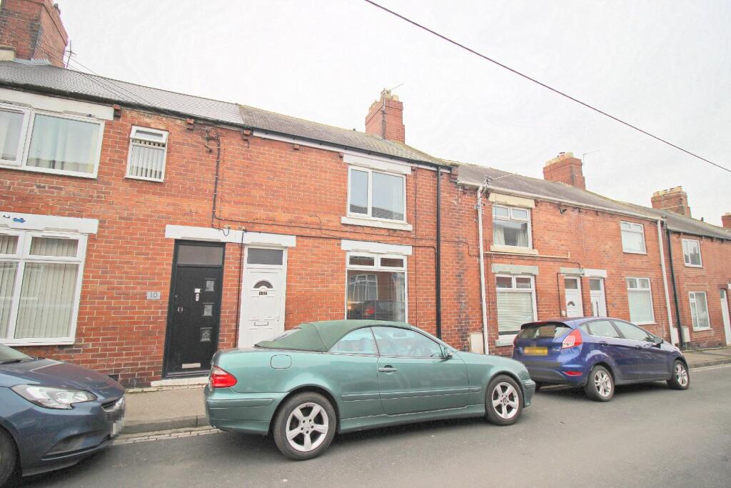
Pinewood Street, Houghton Le Spring
By Robinsons
£ 79,950
Reviews
3 out of 5 stars
Robinsons says ..
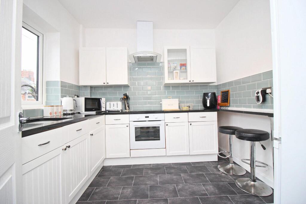
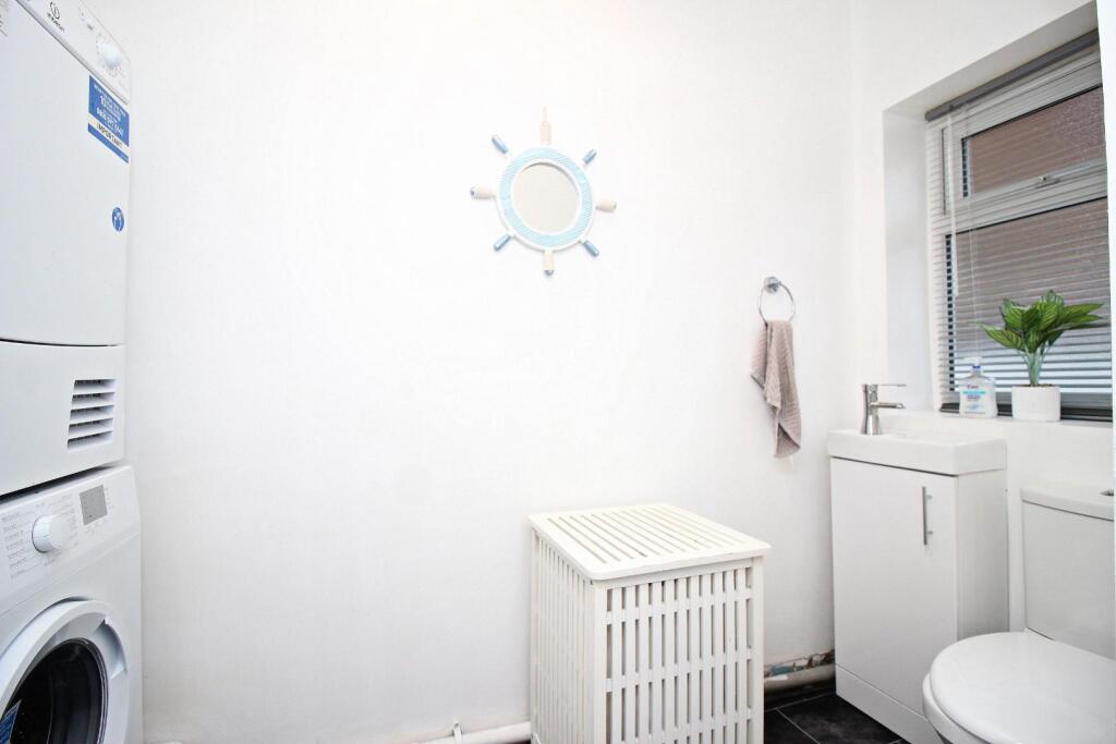
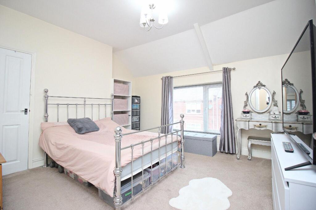
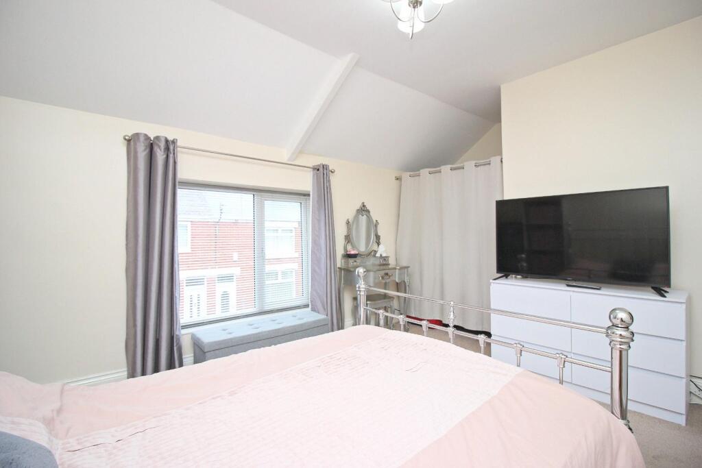
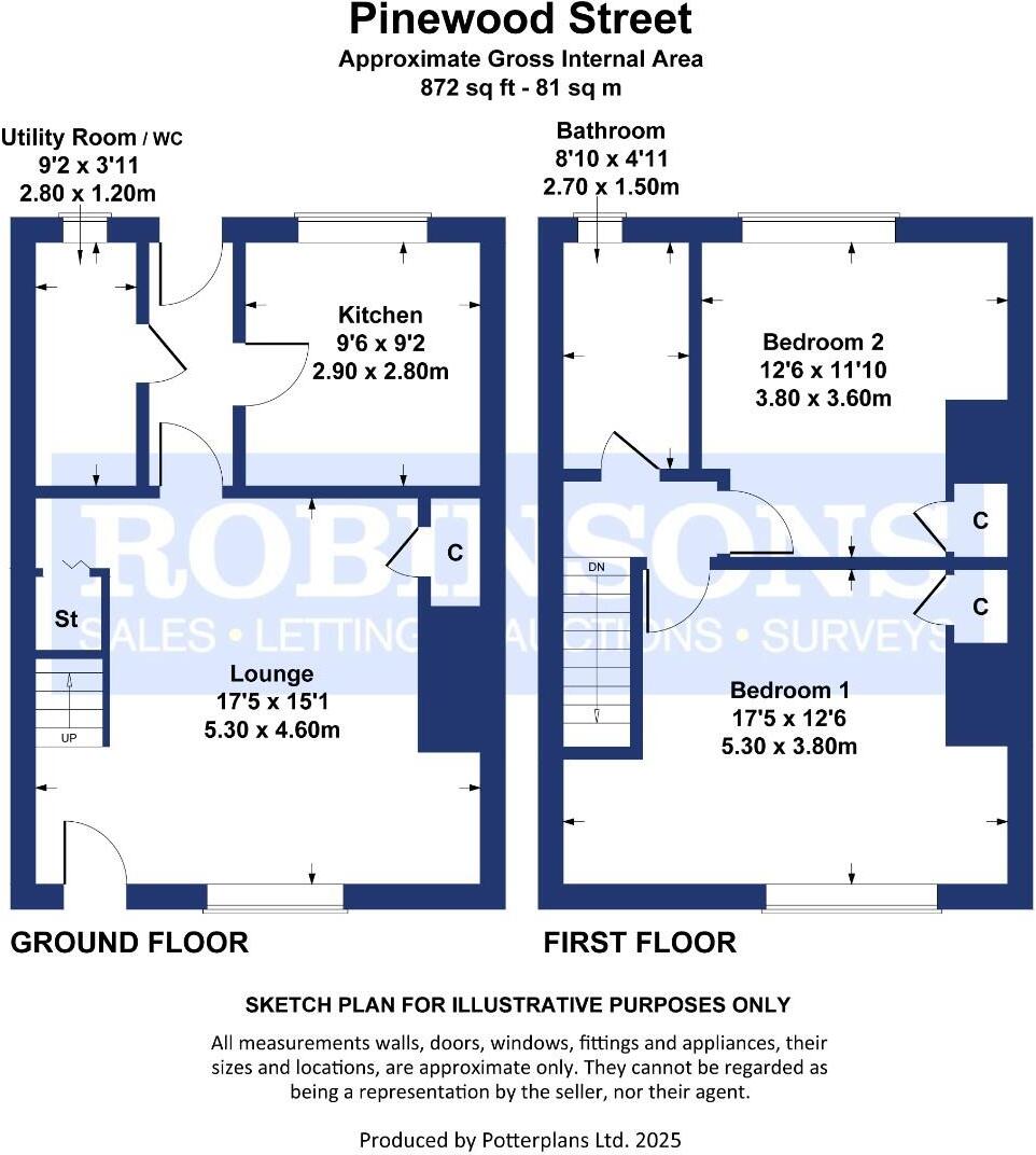
* MUCH IMPROVED HOUSE * NEW COMBI BOILER APRIL 24 * ALTERED LAYOUT * TWO DOUBLE BEDROOMS * ATTRACTIVE KITCHEN AND BATHROOM * FUSE BOX 18 MONTHS OLD * DOWNSTAIRS WC / UTILITY ROOM * Offered to the market is this deceptively spacious, much improved terraced home, sure to suit the needs of ...
Property Oracle says ..
Pinewood Street is located in Lumley, Houghton le Spring, Tyne and Wear. The property is a 2 bedroom terraced house with 1 bathroom. It has a total area of 792.01 sqft and a plot size of 871.88 sqft. The list price is £79,950.
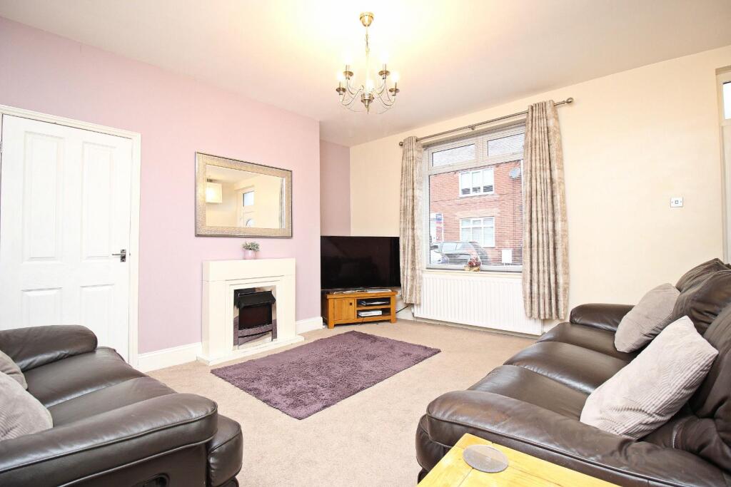
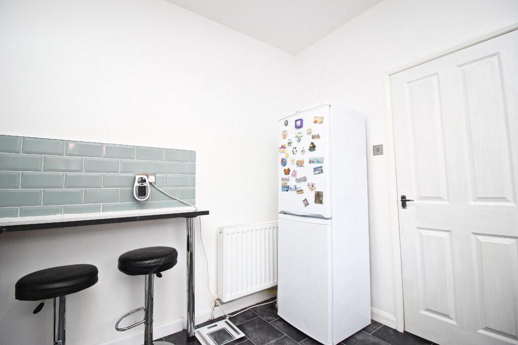
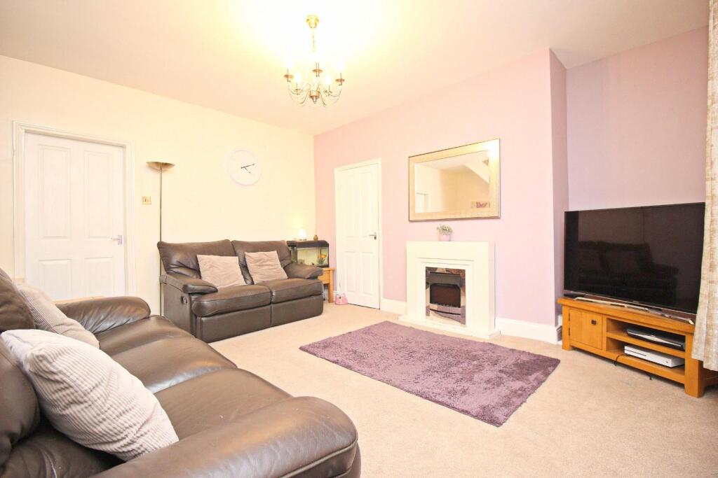
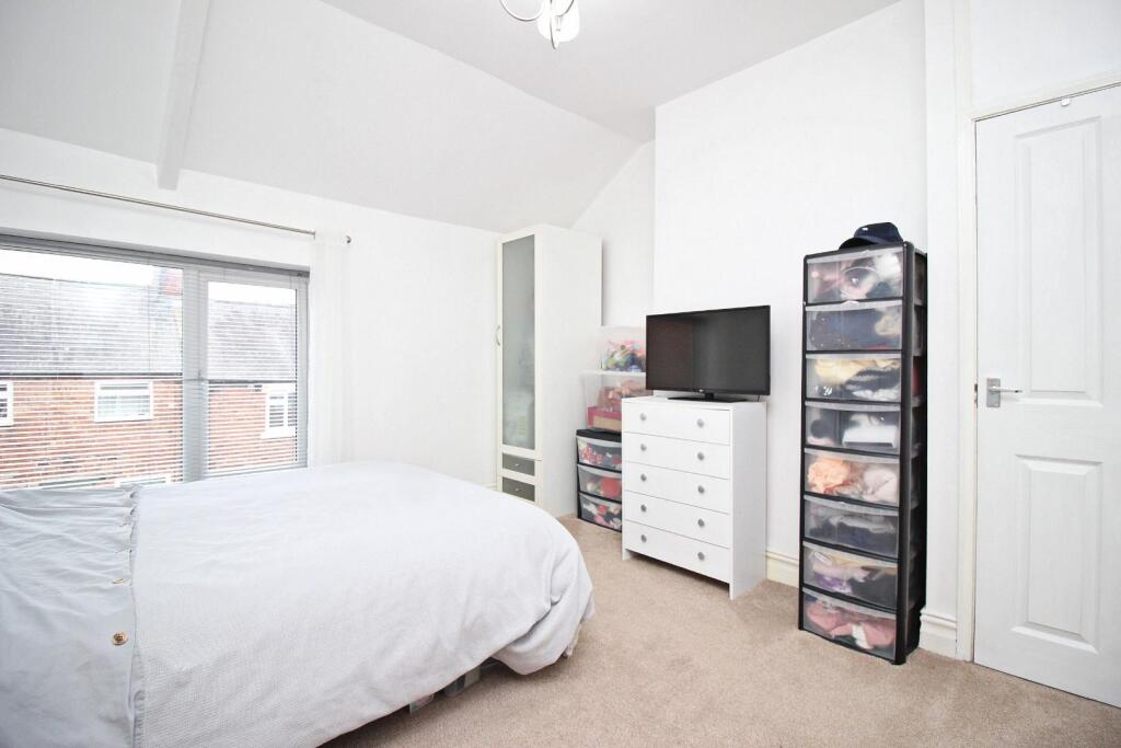
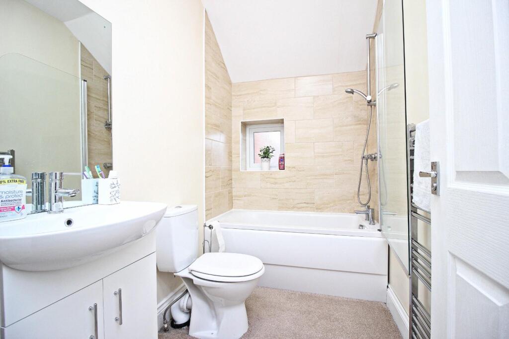
Based on the provided images, the property appears to be in good condition. The interior is clean and well-maintained, with a modern kitchen and bathroom. There is evidence of recent renovations or upgrades.
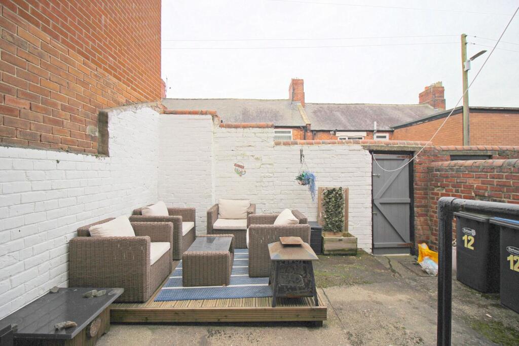
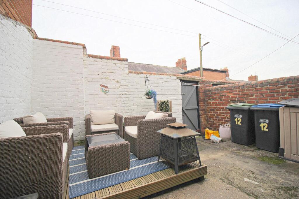
The property benefits from a small yard, providing some outdoor space. While not extensive, it’s a valuable addition to a terraced property in this area.
Considering the property’s condition, the relatively small size (792.01 sqft), and the presence of a yard, the list price of £79,950 appears reasonable compared to the average price per sqft in the area (£239.00). Nearby comparable properties support this assessment, although the lack of sqft data for those properties makes a precise comparison difficult. The average house price in the area is significantly higher (£226,037), suggesting that this property is priced competitively for its size and features. The proximity to schools such as Woodlea Primary School (0.21 KM) and Bournmoor Primary School (1.05 KM) adds to its appeal. Access to transportation via Northern Trains (7.23 KM) also contributes positively to the location.
Therefore, we give this property 7 / 10. *Disclaimer: This is our option and does constitute a recommendation or financial advice. Do your own research. *
- Price
- 7
- Condition
- 8
- Location
- 7
- Land
- 6
- Bedrooms
- 2
- Bathrooms
- 1
- Sqft (est)
- 792.01
- Lot (est)
- 871.88
The heatmap indicates the level of crime in the area. The color of the heatmap indicates the crime severity and recency.
Metrics Year-on-Year
- Average area value
- 211,000.00 £Increased by 2.49 %
- Est sale value
- 218,594.76 £Increased by 14.52 %
- Average area rental value
- 961.00 £/moDecreased by 14.43 %
- Est letting value
- 792.01 £/moUnchanged by 0.00 %
- Est rental Yield
- 5.47 %Decreased by 16.49 %
- Crime Rate
- 81.00 %Unchanged by 0.00 %
Agent Activity
Robinsons created the listing.
Nearby Schools
| Name | Type | Ofsted | Distance |
|---|---|---|---|
| Woodlea Primary School | Community School | Good | 0.21 KM |
| Bournmoor Primary School | Community School | Good | 1.05 KM |
| Sunderland Children'S Centre Coalfields | Children's Centre | 1.49 KM | |
| Dubmire Primary | Academy Sponsor Led | Good | 1.62 KM |
| Shiney Row Primary School | Community School | Good | 3.14 KM |
Images


Nearby Streets
| Name | Average Price | Average Sqft | Distance |
|---|---|---|---|
| Gill Crescent North & South | £ 56,950 | 0 | 0.00 KM |
| Ewehill Cottages | £ 0 | 0 | 0.00 KM |
| Rose Crescent | £ 99,950 | 0 | 0.00 KM |
| Carnation Avenue | £ 32,000 | 0 | 0.00 KM |
| Raby Close | £ 0 | 0 | 0.00 KM |
Nearby Transport
| Name | NLC | TLC | Distance |
|---|---|---|---|
| Chester-Le-Street | 7736 | CLS | 7.23 KM |
Nearby Listings
| Address | Price | Type | Score | Distance |
|---|---|---|---|---|
| 4 Pinewood Street, Houghton Le Spring, Tyne And Wear, DH4 6AY | £ 40,000 | BUY | Unknown | 0.02 KM |
| 4 Pinewood Street, Houghton Le Spring, Tyne And Wear, DH4 6AY | £ 50,000 | BUY | 5 / 10 | 0.02 KM |
| Gill Crescent North, Fencehouses, Houghton Le Spring, Durham, DH4 6AW | £ 50,000 | BUY | Unknown | 0.06 KM |
| Oak Street, Houghton le Spring, Tyne and Wear, DH4 6AT | £ 79,995 | BUY | 5 / 10 | 0.06 KM |
| Gill Crescent South, Fencehouses, Houghton Le Spring | £ 50,000 | BUY | 5 / 10 | 0.07 KM |
Nearby Properties
| Address | Price | Distance |
|---|---|---|
| 5 Maplewood Street | £ 45,950 | 0.03 KM |
| 12 Maplewood Street | £ 53,000 | 0.03 KM |
| 20 Maplewood Street | £ 40,000 | 0.03 KM |
| 22 Maplewood Street | £ 53,000 | 0.03 KM |
| 16 Maplewood Street | £ 67,500 | 0.03 KM |