DA
Glamorgan Street, Cardiff
By Darlows
£ 950
Darlows says ..
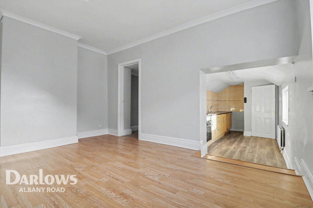
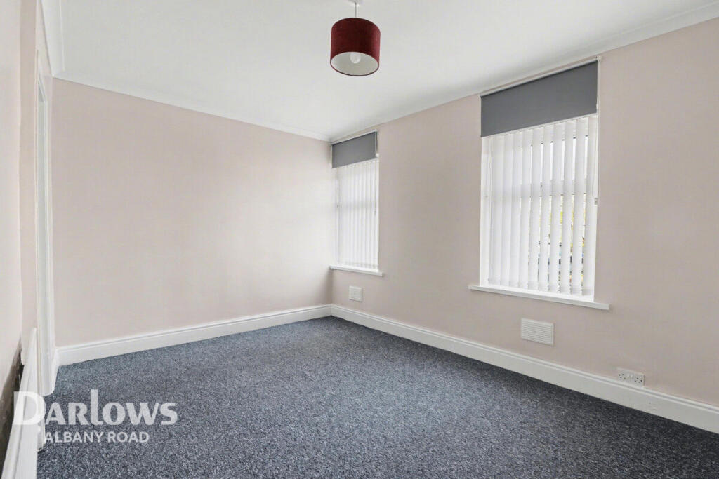
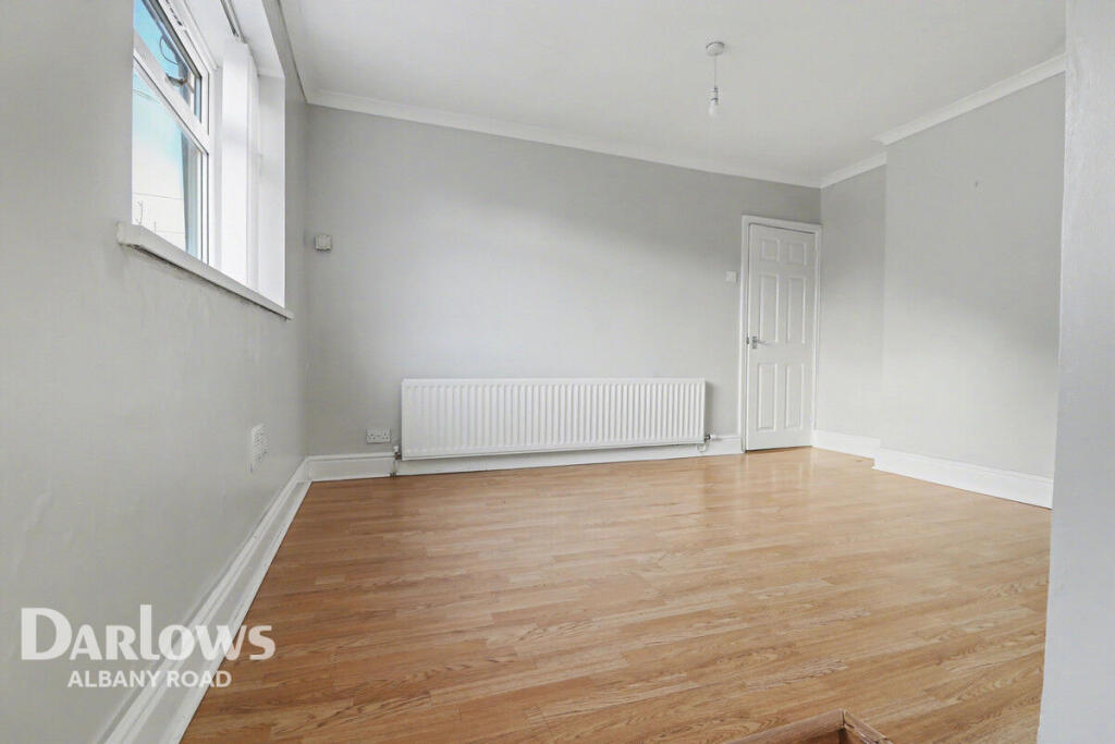
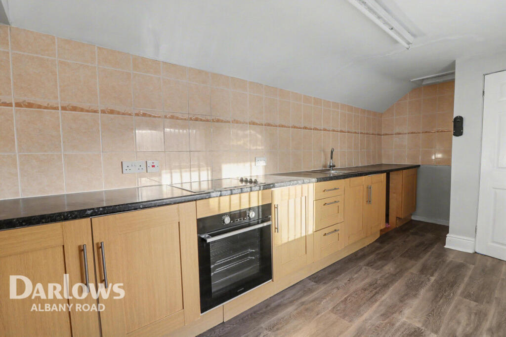
2 Bedroom Property in CF5
- Bedrooms
- 2
- Bathrooms
- 1
The heatmap indicates the level of crime in the area. The color of the heatmap indicates the crime severity and recency.
Metrics Year-on-Year
- Average area value
- 366,667.00 £Increased by 15.48 %
- Average area rental value
- 1,173.00 £/moIncreased by 1.65 %
- Est rental Yield
- 3.84 %Decreased by 11.93 %
- Crime Rate
- 7.00 %Unchanged by 0.00 %
from 317,525.00 £
from 1,154.00 £/mo
from 4.36 %
from 7.00 %
Agent Activity
Darlows created the listing.
Nearby Schools
| Name | Type | Ofsted | Distance |
|---|---|---|---|
| Radnor Primary School | Welsh Establishment | 0.26 KM | |
| St Mary'S R.C. Primary School | Welsh Establishment | 0.78 KM | |
| Kitchener Primary School | Welsh Establishment | 0.83 KM | |
| Lansdowne Primary School | Welsh Establishment | 0.95 KM | |
| Howell'S School | Welsh Establishment | 1.05 KM |
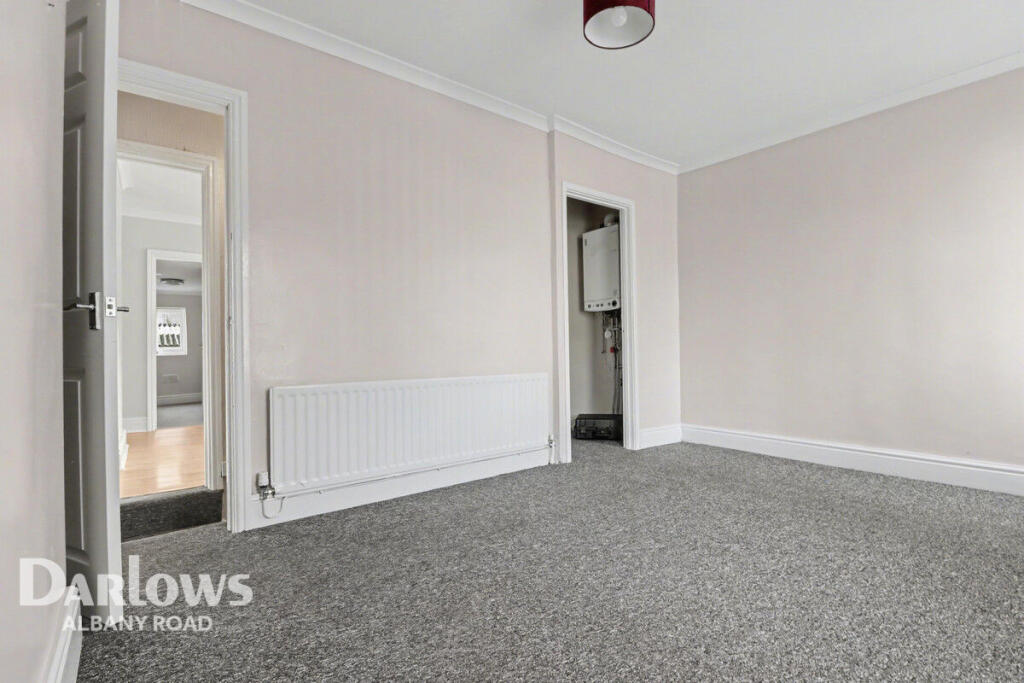
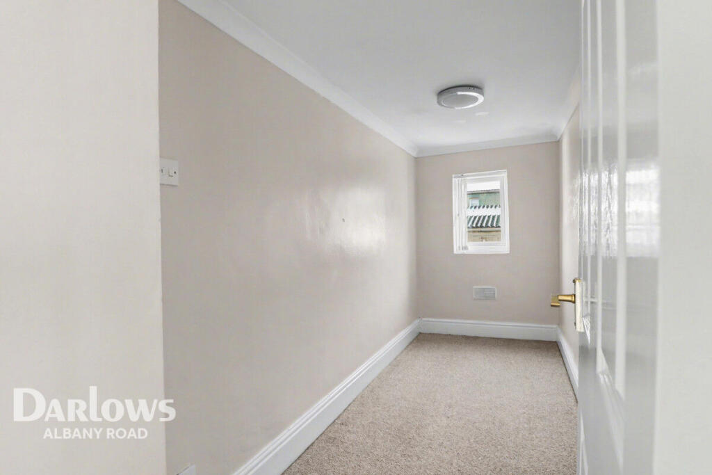
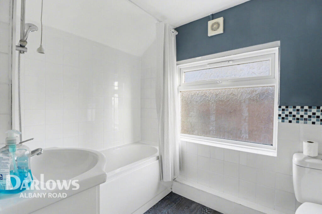
Images

Nearby Streets
| Name | Average Price | Average Sqft | Distance |
|---|---|---|---|
| Saint Canna Close | £ 0 | 0 | 0.00 KM |
| Harvey Street | £ 245,000 | 0 | 0.00 KM |
| The Mews | £ 300,000 | 0 | 0.00 KM |
| Greenfield Avenue | £ 268,333 | 0 | 0.00 KM |
| Tair Erw Gain | £ 0 | 0 | 0.00 KM |
Nearby Transport
| Name | NLC | TLC | Distance |
|---|---|---|---|
| Ninian Park | 3895 | NNP | 0.90 KM |
| Grangetown (Cardiff) | 3839 | GTN | 2.51 KM |
| Waun-Gron Park | 3796 | WNG | 2.69 KM |
| Cardiff Central | 3899 | CDF | 3.05 KM |
| Cathays | 3820 | CYS | 3.06 KM |
Nearby Listings
| Address | Price | Type | Score | Distance |
|---|---|---|---|---|
| Glamorgan Street, Cardiff | £ 950 | RENT | Unknown | 0.00 KM |
| 8 St. Canna Close, Cardiff, CF5 1QA | £ 895 | RENT | Unknown | 0.06 KM |
| Glamorgan Street, Cardiff | £ 1,100 | RENT | Unknown | 0.07 KM |
| Cardigan Street, Cardiff | £ 995 | RENT | Unknown | 0.11 KM |
| Rectory Road Ground Floor, Cardiff | £ 1,250 | RENT | Unknown | 0.14 KM |
Nearby Properties
| Address | Price | Distance |
|---|---|---|
| 32 Carmarthen Street | £ 260,000 | 0.06 KM |
| 17 Carmarthen Street | £ 201,000 | 0.06 KM |
| 7 Carmarthen Street | £ 162,000 | 0.06 KM |
| 44 Carmarthen Street | £ 240,000 | 0.06 KM |
| 23 Carmarthen Street | £ 119,000 | 0.06 KM |