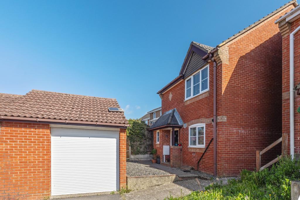
Langridge Drive, Portslade, BN41 2JB
By HW Estate Agents
£ 450,000
Reviews
3 out of 5 stars
HW Estate Agents says ..
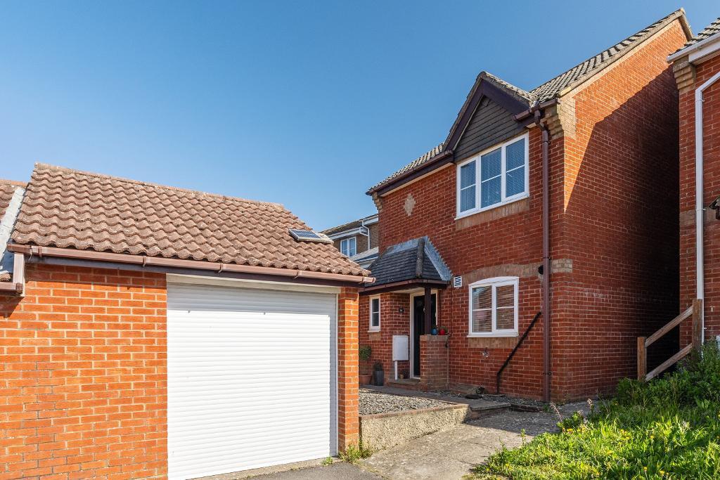
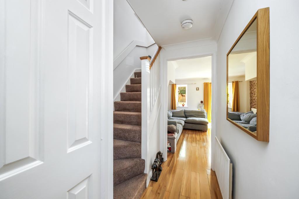
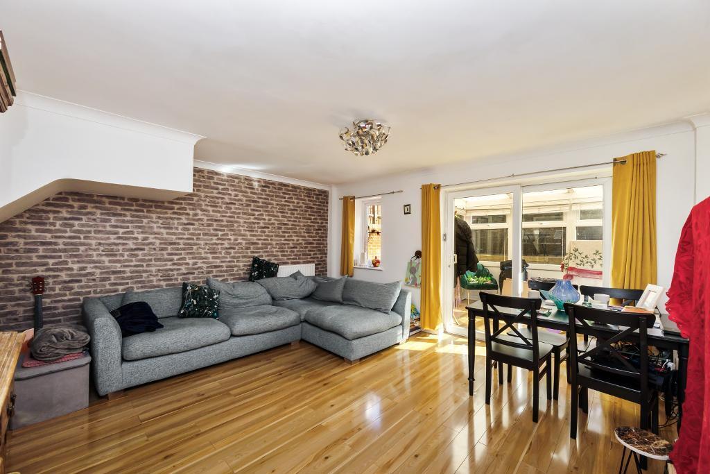
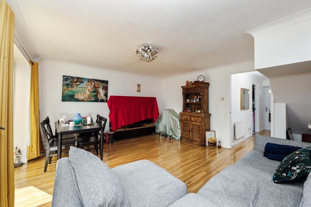
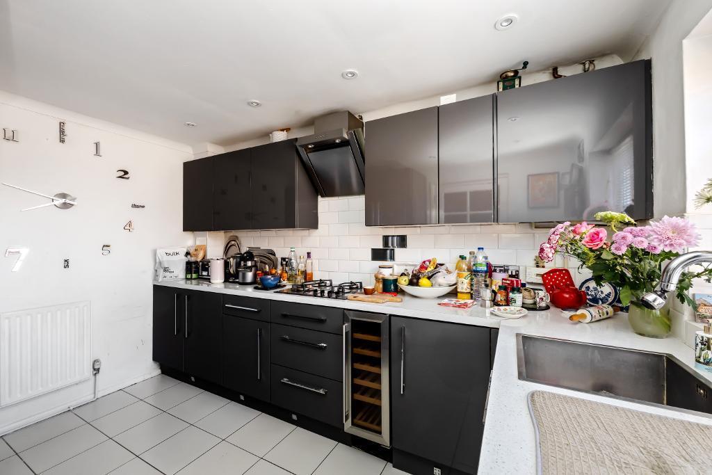
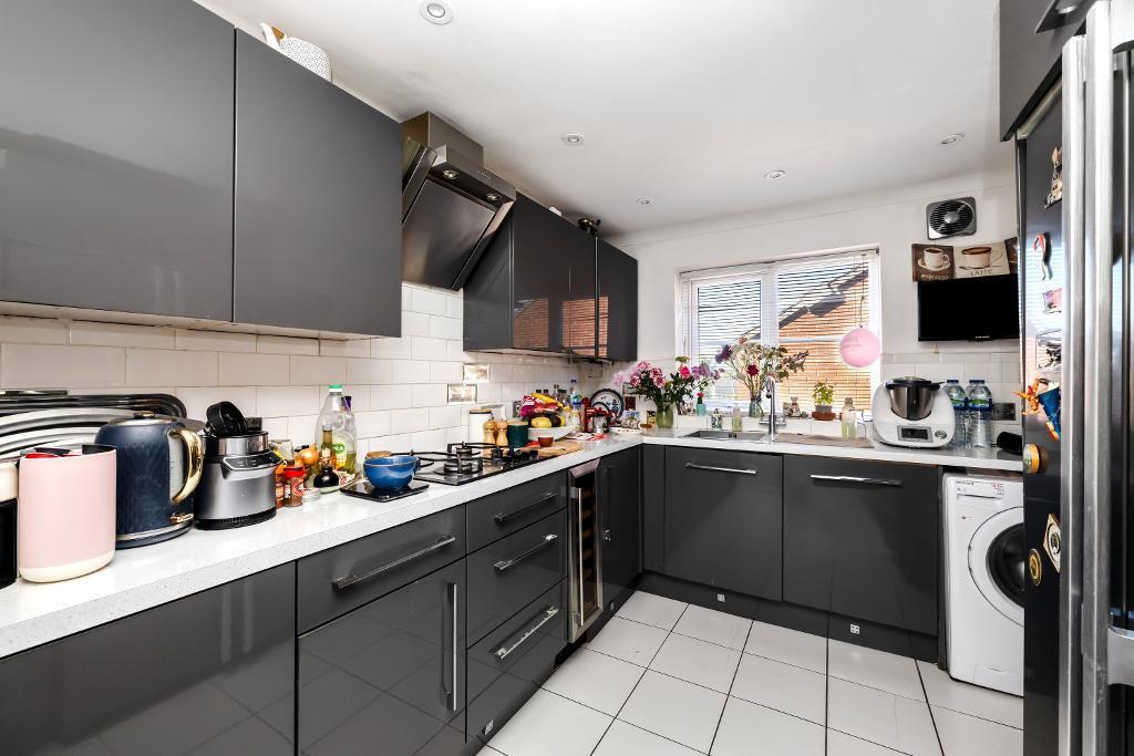
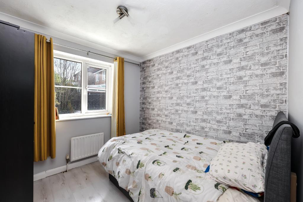
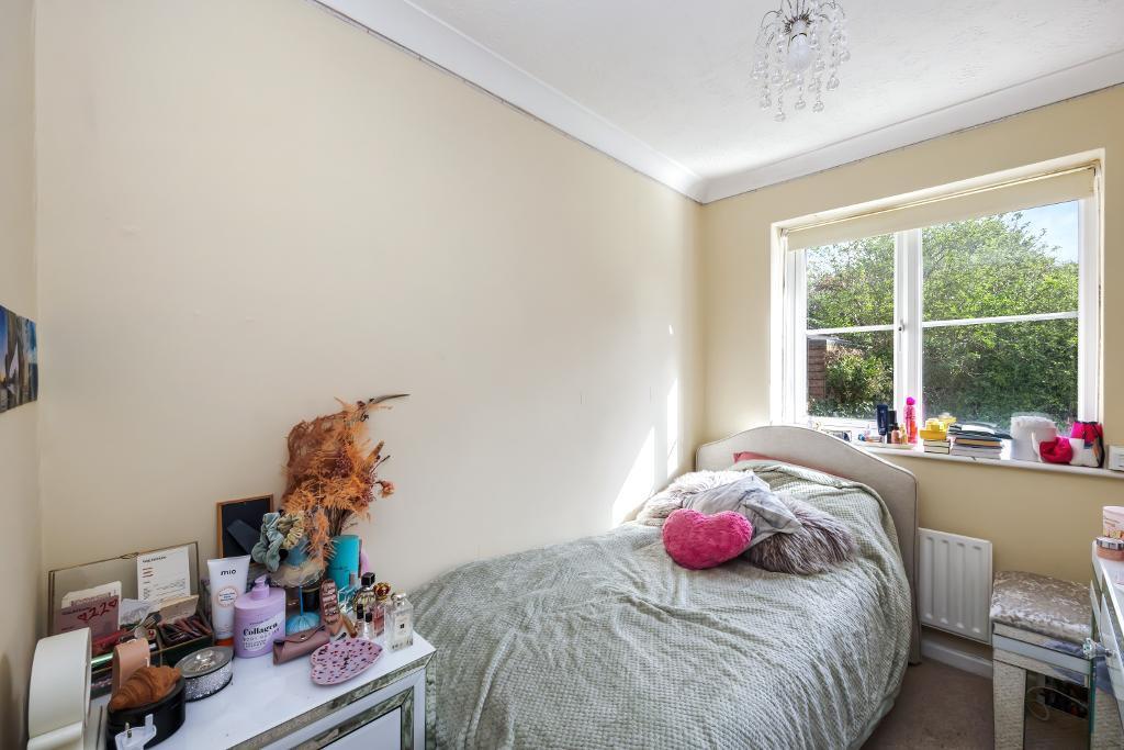
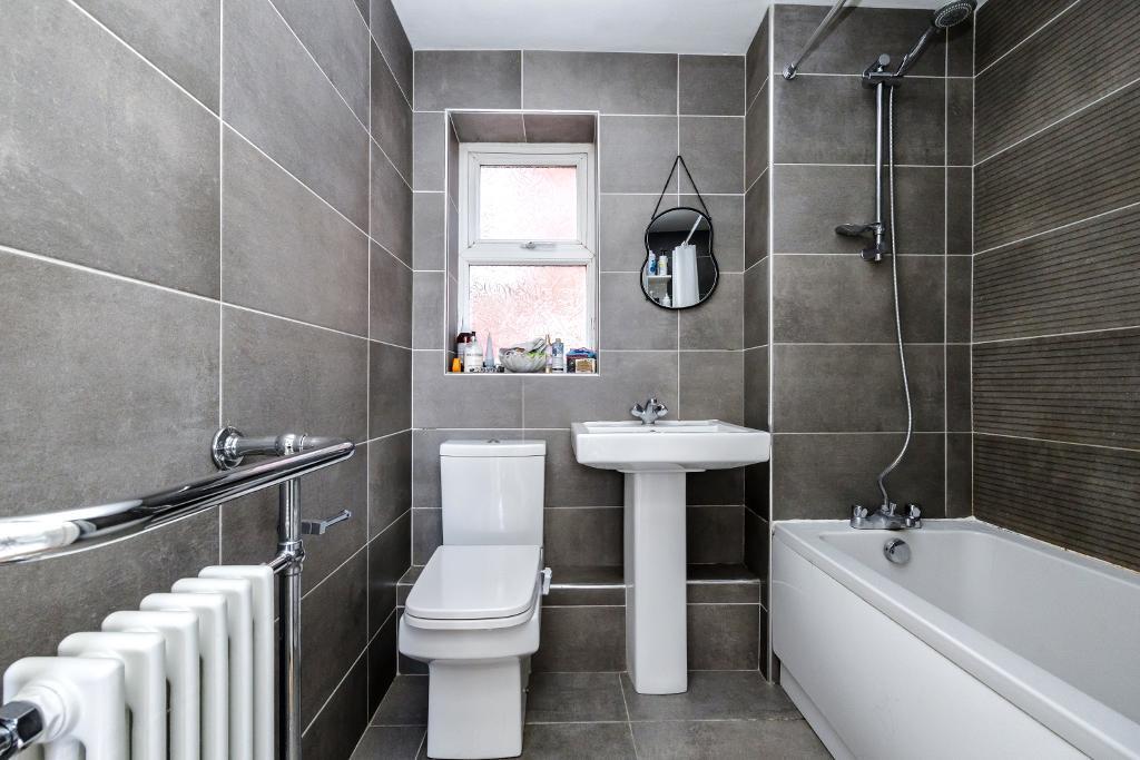
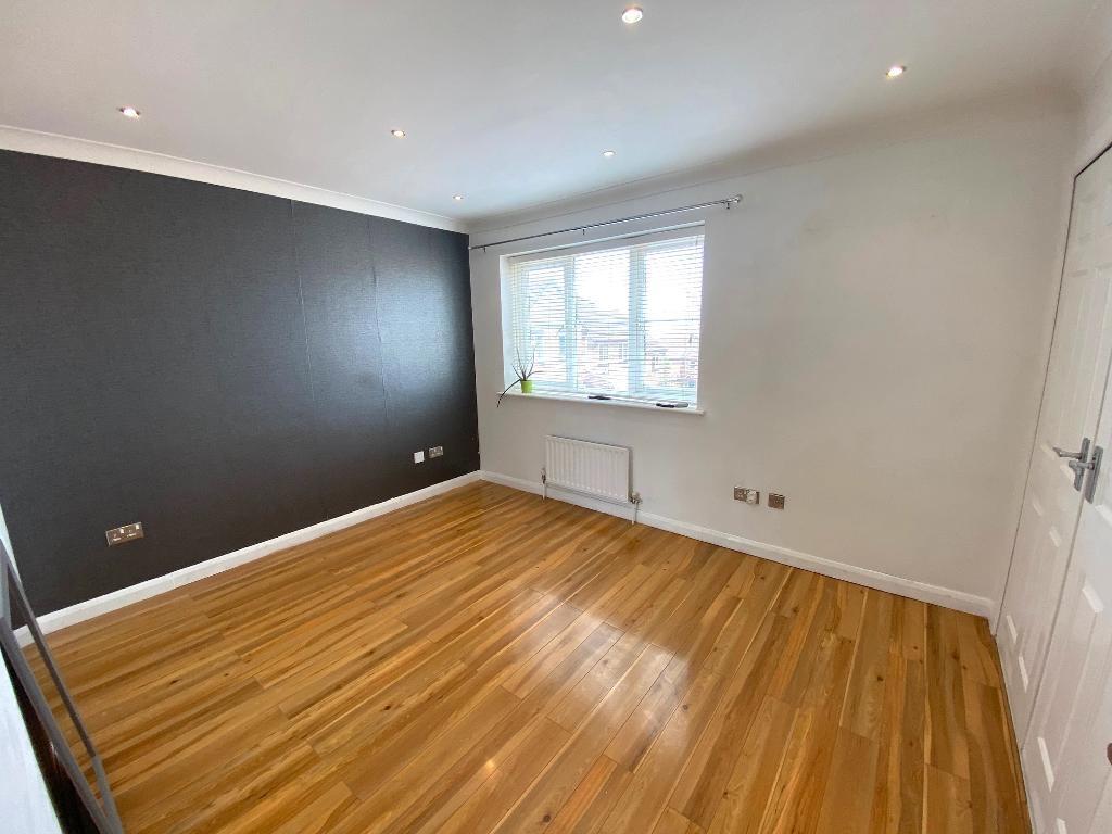
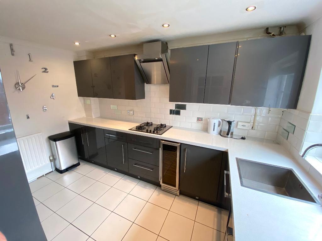
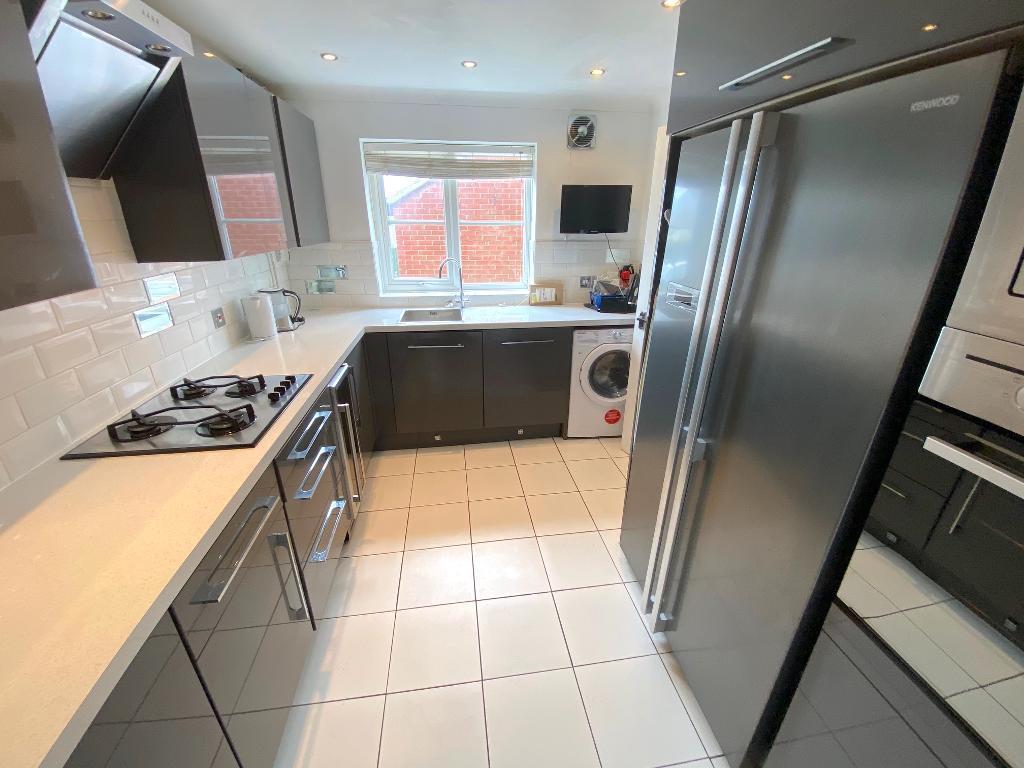
Introducing this charming detached family home located on Langridge Drive in the desirable area of Portslade. Upon entering, you are greeted with a kitchen boasting integrated appliances in...
Property Oracle says ..
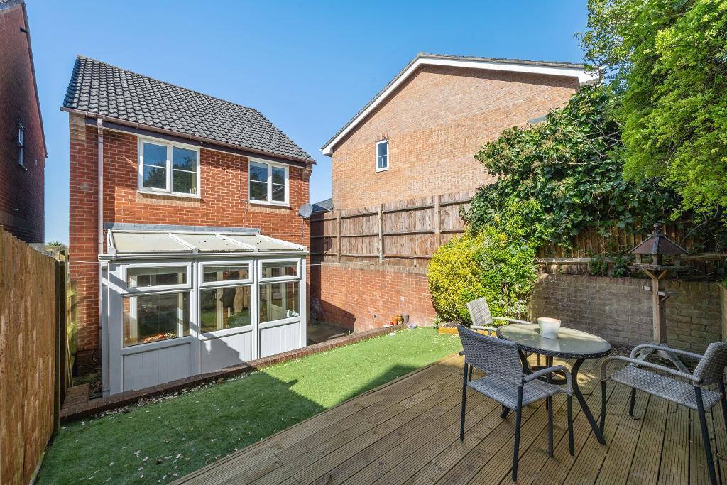
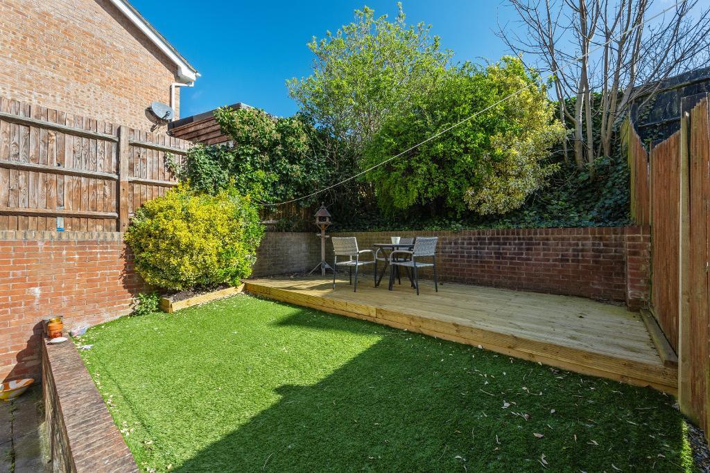
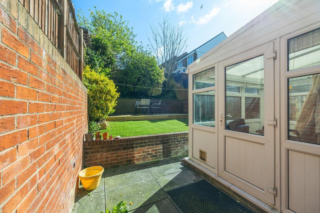
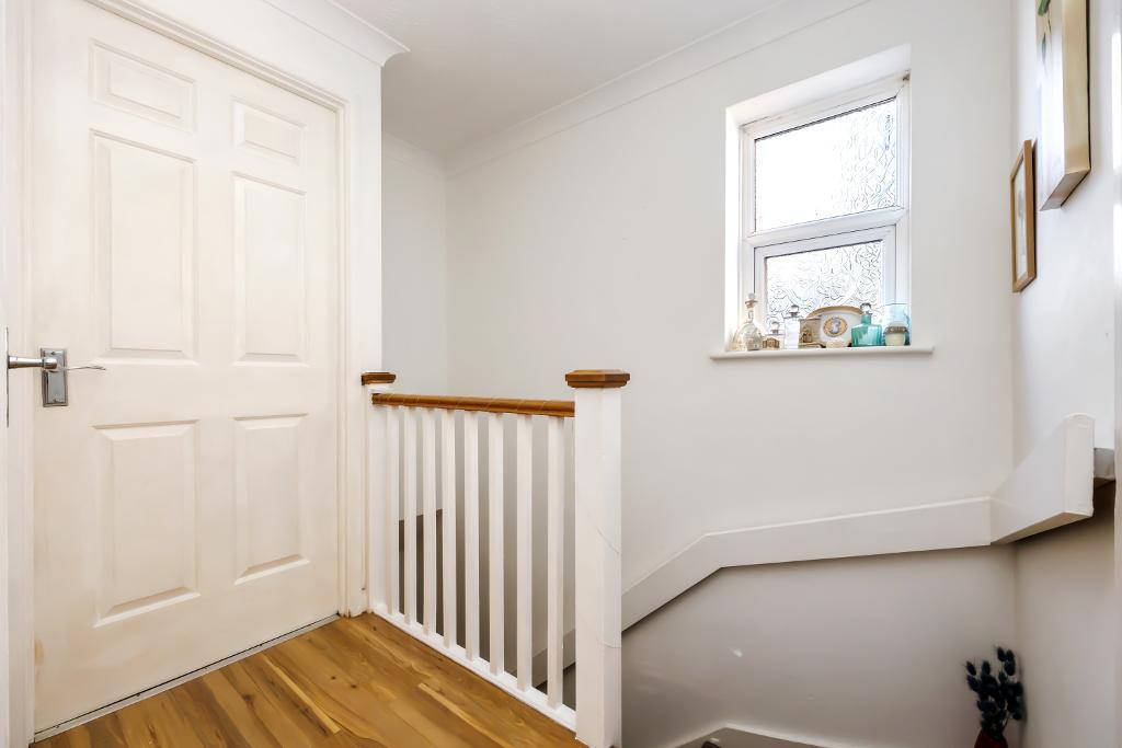
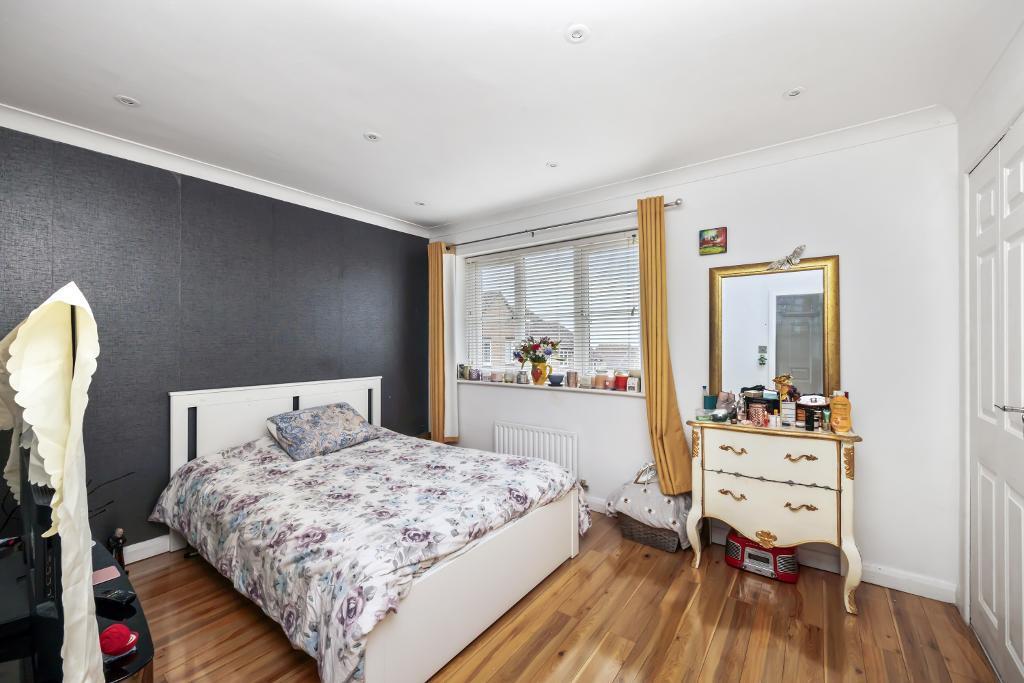
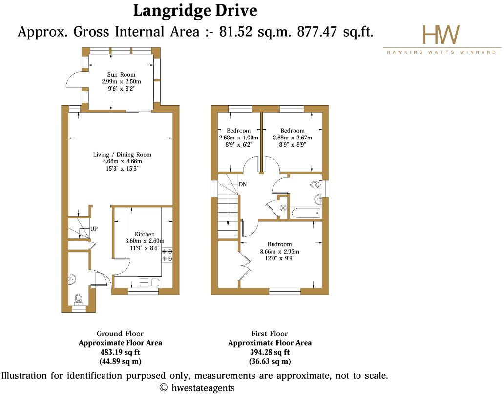
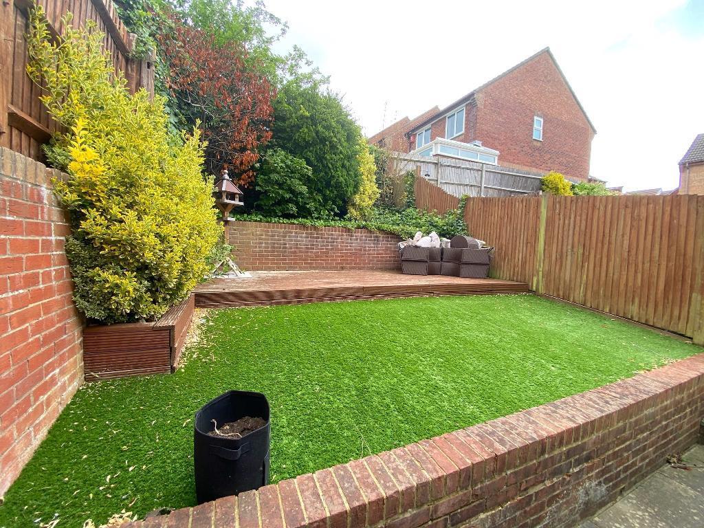
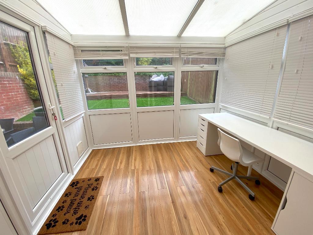
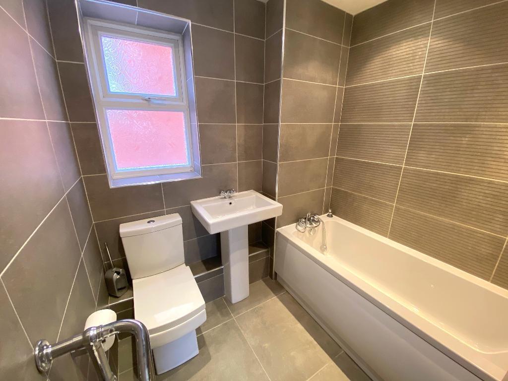
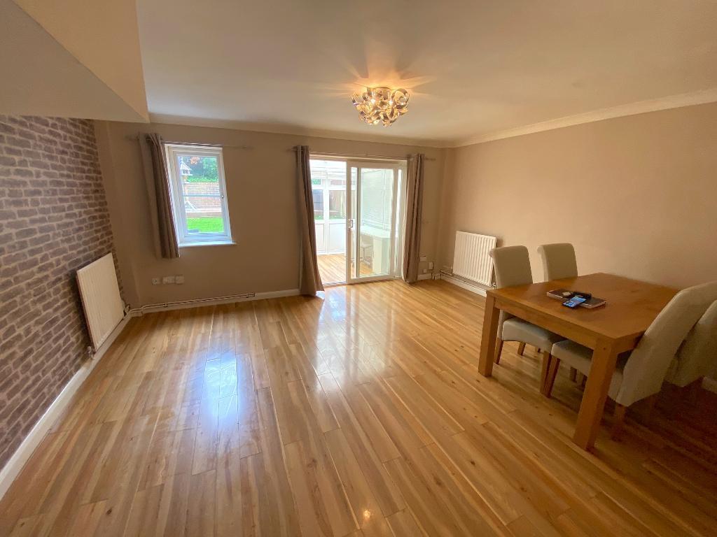
Langridge Drive is located in North Portslade, Brighton. The property is a three-bedroom, two-bathroom detached house with a list price of £450,000. The property has a small garden and benefits from being close to several well-regarded schools, including Hill Park School (Outstanding Ofsted rating) and Peter Gladwin Primary School (Good Ofsted rating), both within a short distance. Several train stations are also within reasonable proximity, providing convenient access to Brighton and other areas. The property appears to be in good condition, with a modern kitchen and recently updated bathrooms. The interior is presented well, and the exterior is well-maintained. The images show a small but well-maintained garden with a patio area, ideal for outdoor entertaining. Considering the average house price in the area is significantly higher (£816,912) and the average price per square foot is £604, the list price of £450,000 for this 877.47 sqft property seems relatively reasonable, especially given its good condition and desirable location. However, the lack of plot size information makes a definitive statement on value difficult. Nearby comparable properties on Langridge Drive range in price from £223,000 to £365,000, indicating some price variation within the street. This suggests the £450,000 asking price may be at the higher end of the range for this street but still within the bounds of reason given the property’s condition and features.
Therefore, we give this property 7 / 10. *Disclaimer: This is our option and does constitute a recommendation or financial advice. Do your own research. *
- Price
- 7
- Condition
- 8
- Location
- 9
- Land
- 4
- Bedrooms
- 3
- Bathrooms
- 2
- Sqft (est)
- 877.47
The heatmap indicates the level of crime in the area. The color of the heatmap indicates the crime severity and recency.
Metrics Year-on-Year
- Average area value
- 653,333.00 £Increased by 3.57 %
- Est sale value
- 527,359.47 £Increased by 8.29 %
- Average area rental value
- 1,250.00 £/moDecreased by 27.20 %
- Est letting value
- 877.47 £/moUnchanged by 0.00 %
- Est rental Yield
- 2.30 %Decreased by 29.66 %
- Crime Rate
- 3.00 %Unchanged by 0.00 %
Agent Activity
HW Estate Agents created the listing.
Nearby Schools
| Name | Type | Ofsted | Distance |
|---|---|---|---|
| Hill Park School | Community Special School | Outstanding | 0.45 KM |
| Peter Gladwin Primary School | Community School | Good | 0.51 KM |
| Portslade Aldridge Community Academy | Academy Sponsor Led | Good | 0.86 KM |
| St Nicolas Cofe Primary School | Voluntary Aided School | Good | 0.97 KM |
| North Portslade Children'S Centre | Children's Centre | 1.10 KM |
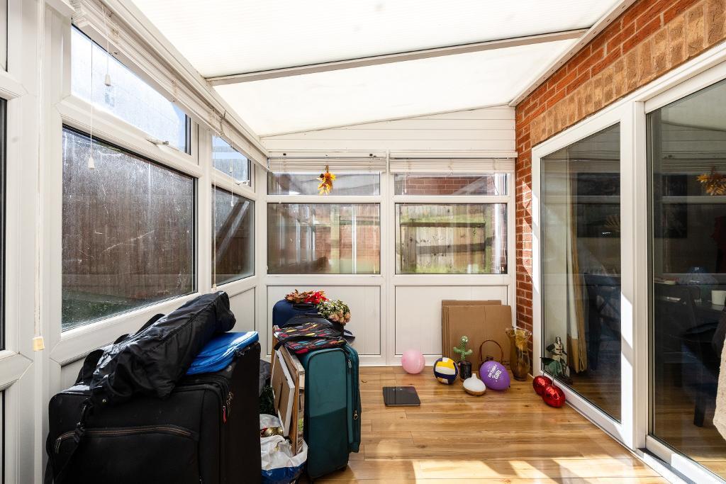
Images

Nearby Streets
| Name | Average Price | Average Sqft | Distance |
|---|---|---|---|
| Harebell Drive | £ 400,000 | 0 | 0.00 KM |
| Croft Drive | £ 0 | 0 | 0.00 KM |
| Ridgeway Close | £ 600,000 | 0 | 0.00 KM |
| Beech Close | £ 500,000 | 0 | 0.00 KM |
| Beaconsfield Road | £ 365,000 | 0 | 0.00 KM |
Nearby Transport
| Name | NLC | TLC | Distance |
|---|---|---|---|
| Fishersgate | 5284 | FSG | 1.67 KM |
| Portslade | 5276 | PLD | 2.06 KM |
| Southwick | 5286 | SWK | 2.70 KM |
| Aldrington | 5280 | AGT | 4.06 KM |
| Hove | 5273 | HOV | 5.47 KM |
Nearby Listings
| Address | Price | Type | Score | Distance |
|---|---|---|---|---|
| Langridge Drive, Portslade, BN41 2JB | £ 450,000 | BUY | 7 / 10 | 0.00 KM |
| Langridge Drive, Portslade | £ 425,000 | BUY | 8 / 10 | 0.02 KM |
| Langridge Drive, Brighton, BN41 | £ 335,000 | BUY | 5 / 10 | 0.07 KM |
| The Parks, Portslade | £ 475,000 | BUY | 7 / 10 | 0.09 KM |
| Farm Close, BN41 | £ 450,000 | BUY | Unknown | 0.12 KM |
Nearby Properties
| Address | Price | Distance |
|---|---|---|
| 34 Langridge Drive | £ 215,000 | 0.07 KM |
| 46 Langridge Drive | £ 82,950 | 0.07 KM |
| 21 Langridge Drive | £ 223,000 | 0.07 KM |
| 43 Langridge Drive | £ 285,000 | 0.07 KM |
| 61 Langridge Drive | £ 98,000 | 0.07 KM |