Norton Road, Thurston, Bury St. Edmunds
By William H. Brown
£ 505,000
Reviews
3 out of 5 stars
William H. Brown says ..
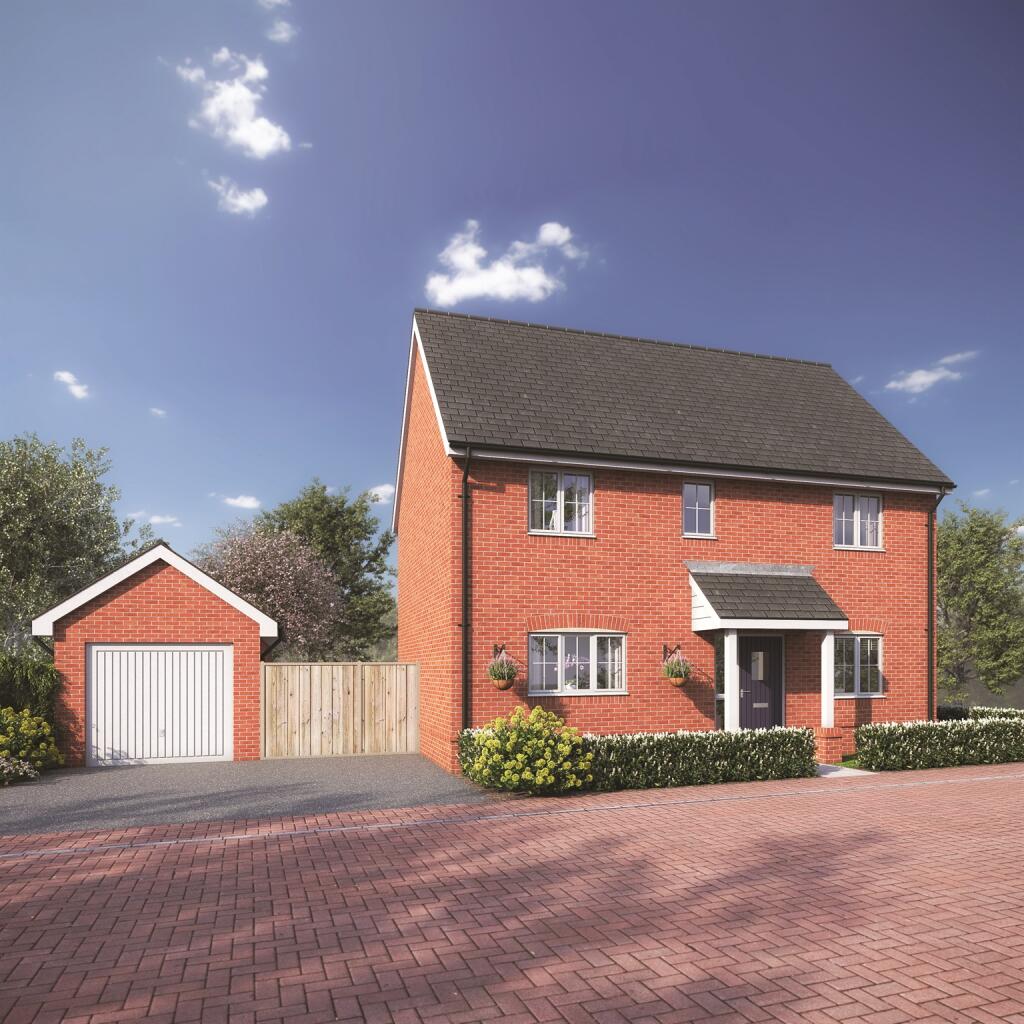
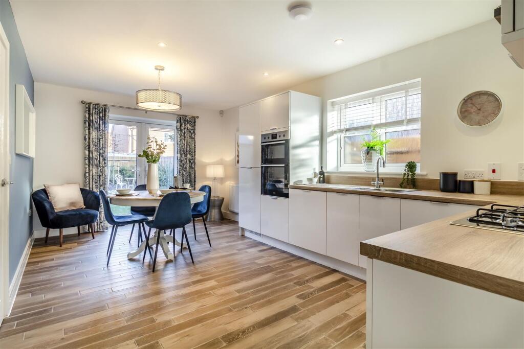
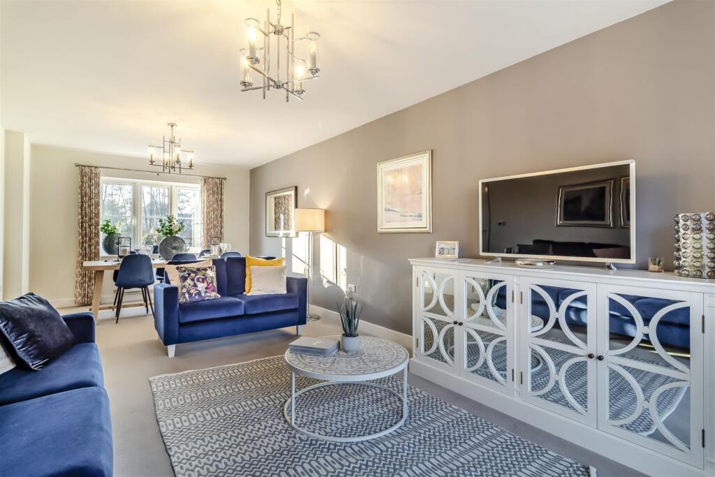
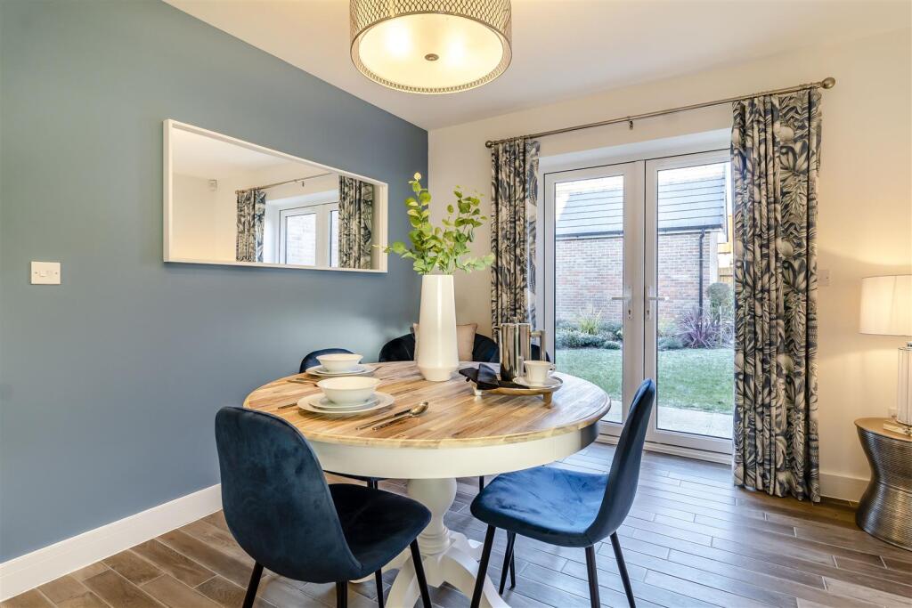
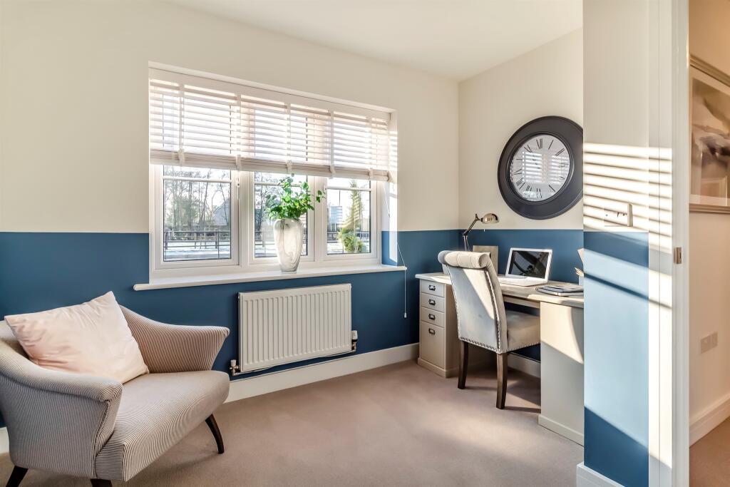
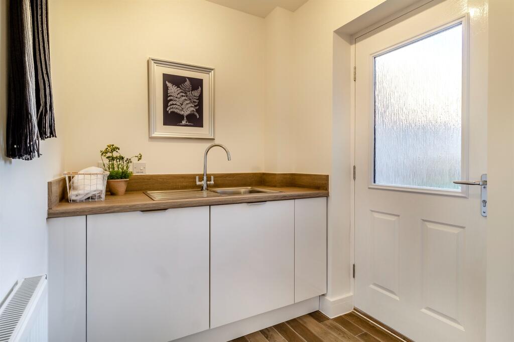
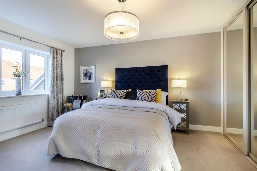
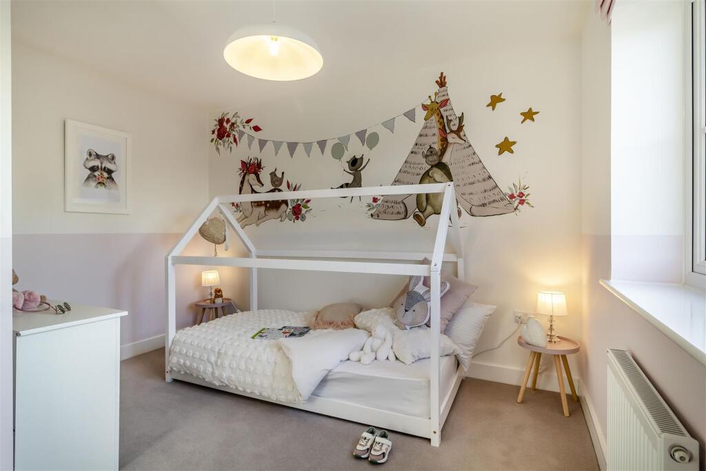
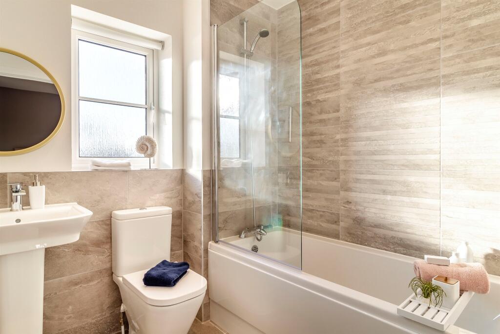
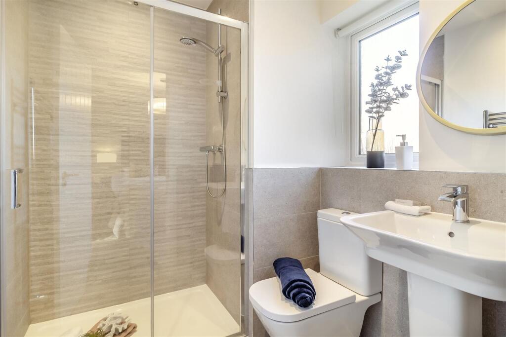
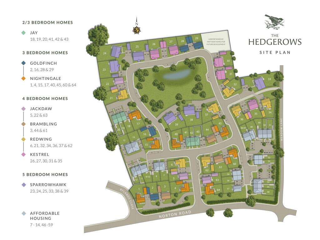
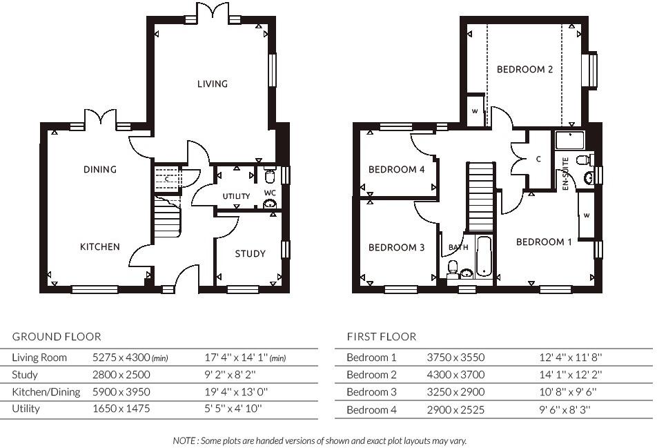
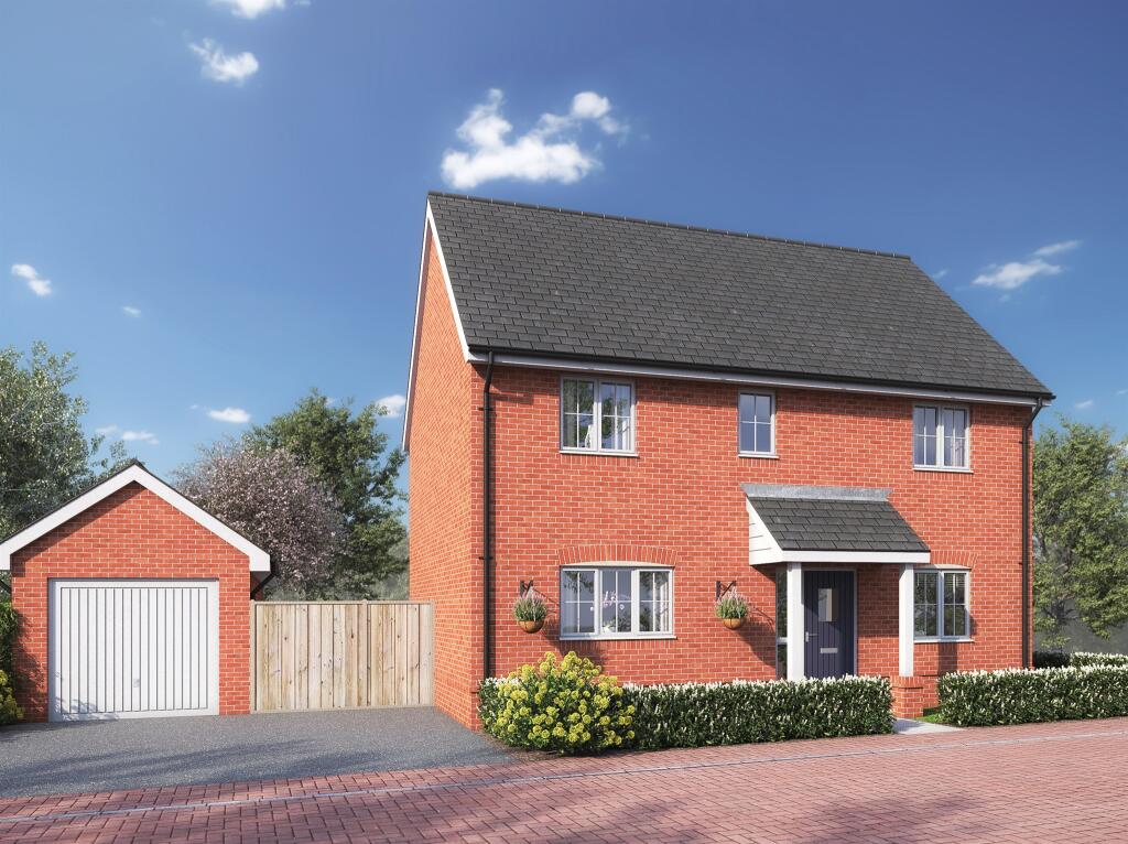
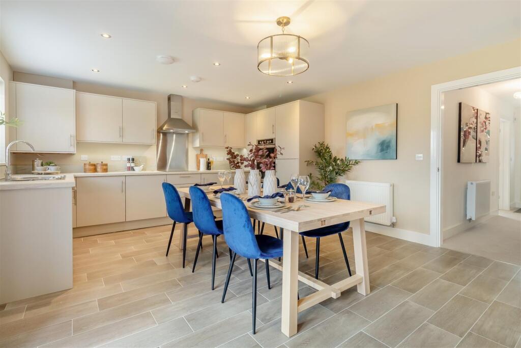
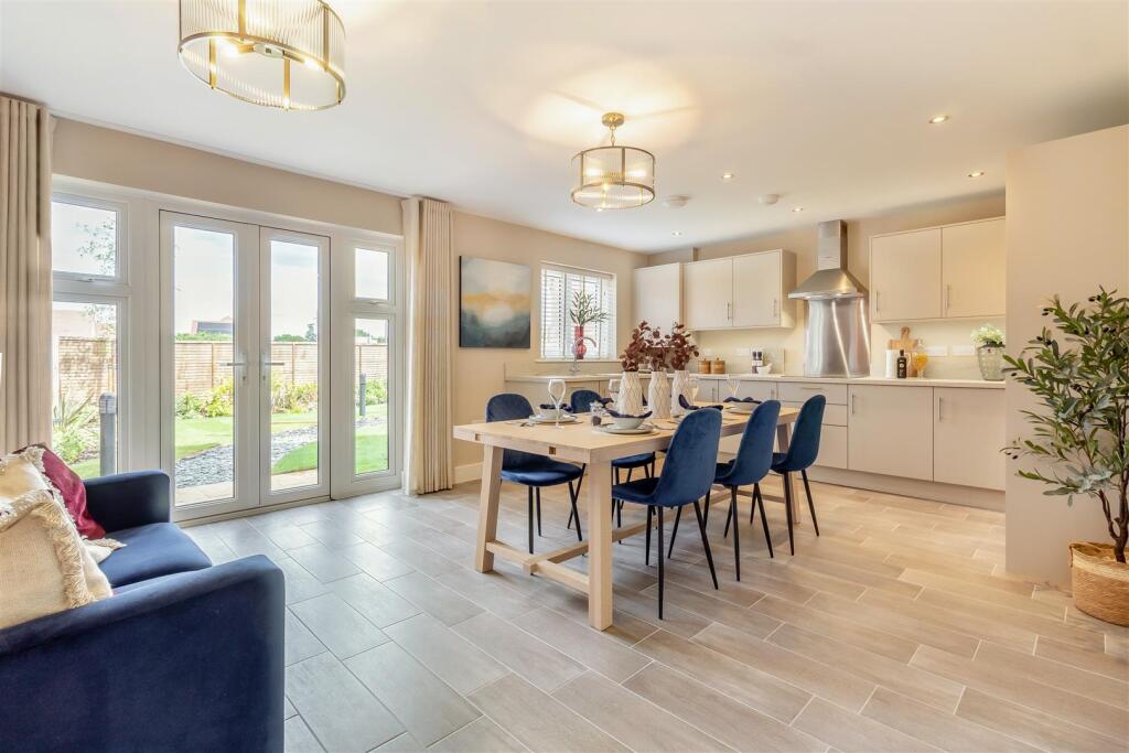
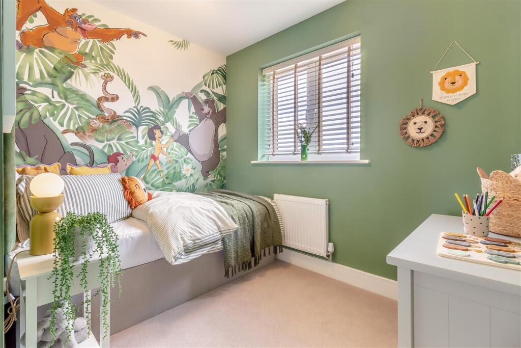
Plot 62, The Redwing a well proportioned 4 bedroom detached house with open plan kitchen diner, separate living room, study, utility, cloakroom, en-suite, garage & parking. Patio doors on to the rear garden from the lounge & dining area. SOUTH FACING GARDEN,
Property Oracle says ..
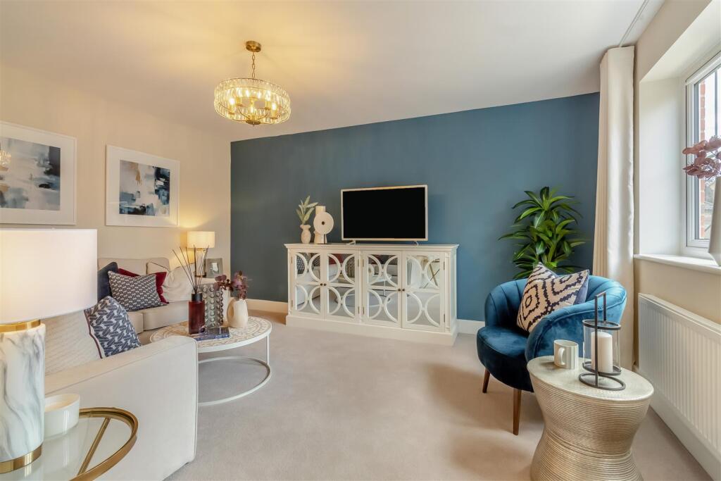
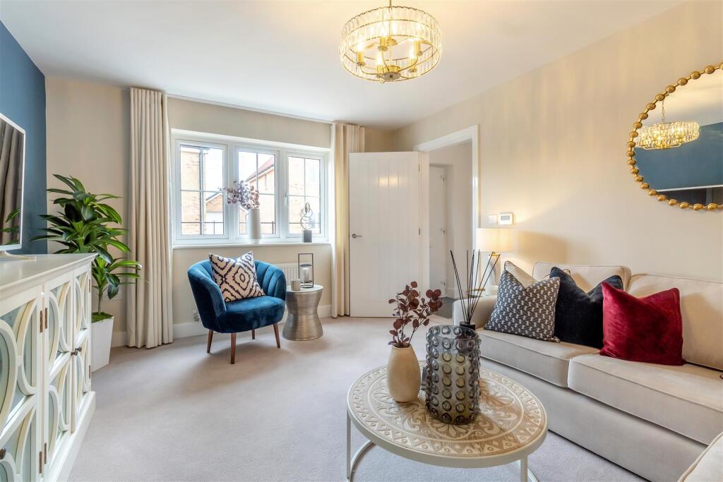
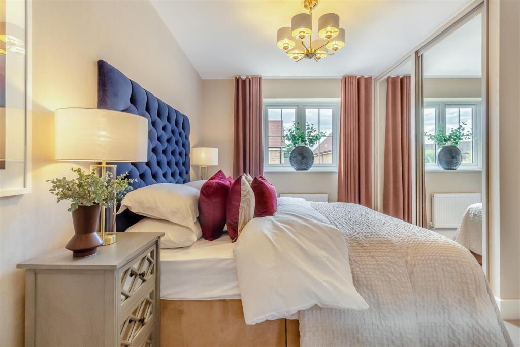
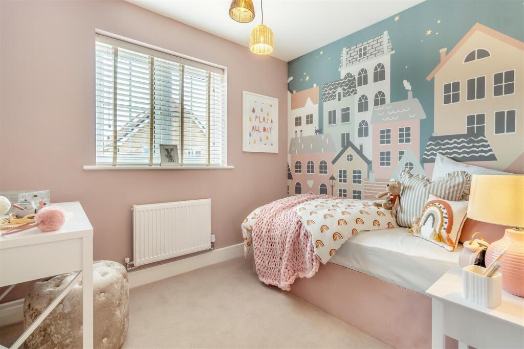
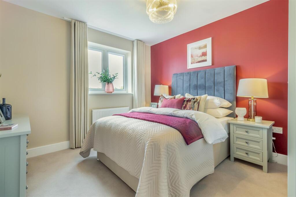
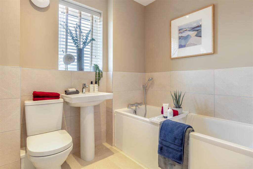
The property is a 4-bedroom house with 2 bathrooms, listed at £505,000. The area has an average house price of £425,206 and an average price per square foot of £366. The provided square footage for this property is exceptionally high and is likely an error. The plot size is listed as 0.00 sqft, suggesting there is no significant garden. The property appears to be newly built or recently renovated, as evidenced by the photos. The interior is modern and well-presented, suggesting it is in excellent condition. Its proximity to Thurston Community College (0.23km) is a positive aspect for families. The nearby train station (Thurston, 0.59km) provides convenient transport links. However, without more information on the specific location within Thurston, a definitive assessment of the location’s desirability cannot be made. Given the seemingly erroneous square footage, a reliable price per square foot calculation is impossible. However, comparing the list price of £505,000 to the average house price in the area (£425,206), this property is at the higher end of the market. Considering the apparent excellent condition and proximity to amenities, the price may be justified, but further investigation into the actual square footage and plot size would be necessary to provide a more informed opinion on its value. The lack of a significant garden (plot size 0.00 sqft) might be considered a drawback by some buyers.
Therefore, we give this property 6 / 10. *Disclaimer: This is our option and does constitute a recommendation or financial advice. Do your own research. *
- Price
- 7
- Condition
- 9
- Location
- 7
- Land
- 1
- Bedrooms
- 4
- Bathrooms
- 2
- Sqft (est)
- 29,825.00
The heatmap indicates the level of crime in the area. The color of the heatmap indicates the crime severity and recency.
Metrics Year-on-Year
- Average area value
- 418,571.00 £Decreased by 7.66 %
- Est sale value
- 10,170,325.00 £Decreased by 2.29 %
- Average area rental value
- 1,600.00 £/moIncreased by 55.19 %
- Est letting value
- 29,825.00 £/mo
- Est rental Yield
- 4.59 %Increased by 68.13 %
- Crime Rate
- 13.00 %Unchanged by 0.00 %
Agent Activity
William H. Brown created the listing.
Nearby Schools
| Name | Type | Ofsted | Distance |
|---|---|---|---|
| Thurston Community College | Community School | Good | 0.23 KM |
| Rougham Church Of England Primary School | Academy Sponsor Led | 3.24 KM | |
| Great Barton Church Of England Primary Academy | Academy Converter | 4.82 KM | |
| Ixworth Church Of England Primary School | Academy Sponsor Led | 5.64 KM | |
| Sybil Andrews Academy | Academy Sponsor Led | Requires improvement | 5.99 KM |
Images


Nearby Streets
| Name | Average Price | Average Sqft | Distance |
|---|---|---|---|
| Lady Road | £ 346,495 | 0 | 0.00 KM |
| Skipper Close | £ 370,000 | 0 | 0.00 KM |
| The Acorns | £ 575,000 | 0 | 0.00 KM |
| Meadow Lane | £ 0 | 0 | 0.00 KM |
| Hunter Drive | £ 0 | 0 | 0.00 KM |
Nearby Transport
| Name | NLC | TLC | Distance |
|---|---|---|---|
| Thurston | 7356 | TRS | 0.59 KM |
Nearby Listings
| Address | Price | Type | Score | Distance |
|---|---|---|---|---|
| Norton Road, Thurston, Bury St. Edmunds | £ 395,000 | BUY | 8 / 10 | 0.00 KM |
| Rylands Close, Thurston, Bury St. Edmunds | £ 290,000 | BUY | 7 / 10 | 0.00 KM |
| Norton Road, Thurston, Bury St. Edmunds | £ 425,000 | BUY | 7 / 10 | 0.00 KM |
| Norton Road, Thurston, Bury St. Edmunds | £ 390,000 | BUY | 7 / 10 | 0.00 KM |
| Norton Road, Thurston, Bury St. Edmunds | £ 400,000 | BUY | 7 / 10 | 0.00 KM |
Nearby Properties
| Address | Price | Distance |
|---|---|---|
| 6 Rylands Close | £ 97,500 | 0.00 KM |
| 10 Barleyfields | £ 161,500 | 0.15 KM |
| 2 Barleyfields | £ 200,000 | 0.15 KM |
| 28 Barleyfields | £ 220,000 | 0.15 KM |
| 44 Barleyfields | £ 480,000 | 0.15 KM |