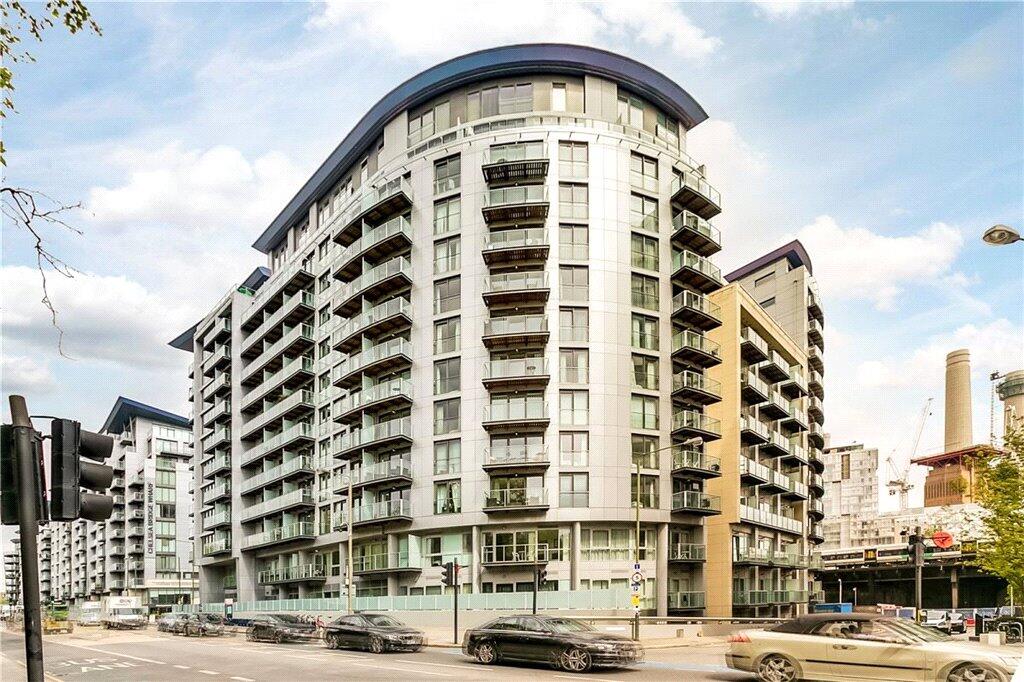
CO
Queenstown Road, London, SW11
By Complete RPI
£ 2,600
Complete RPI says ..
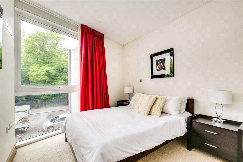
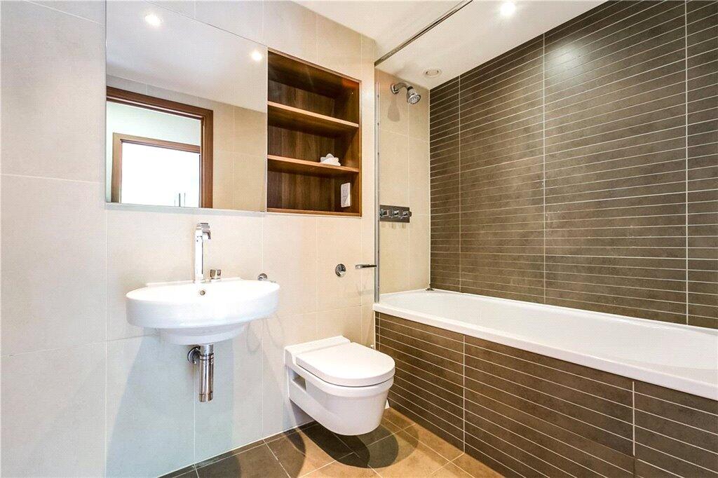
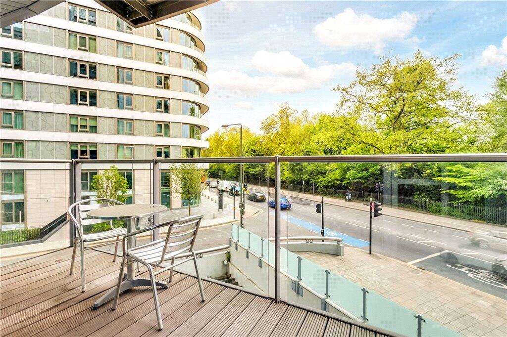
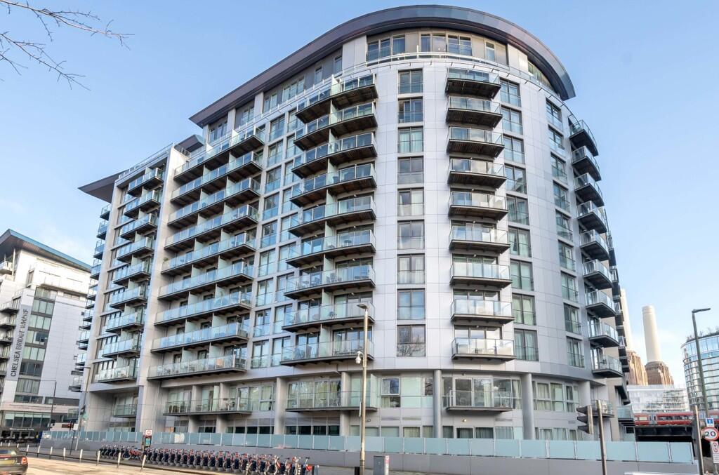
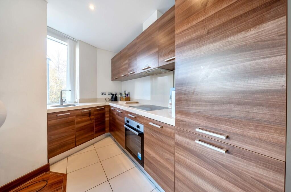
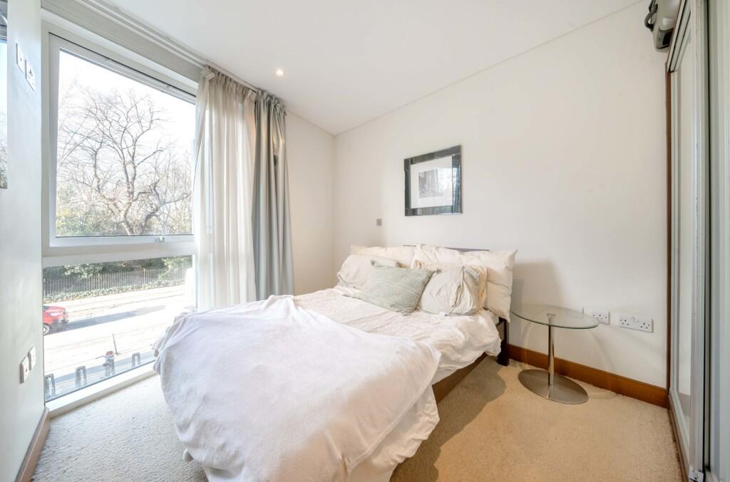
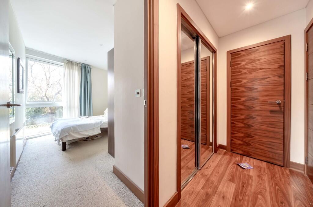
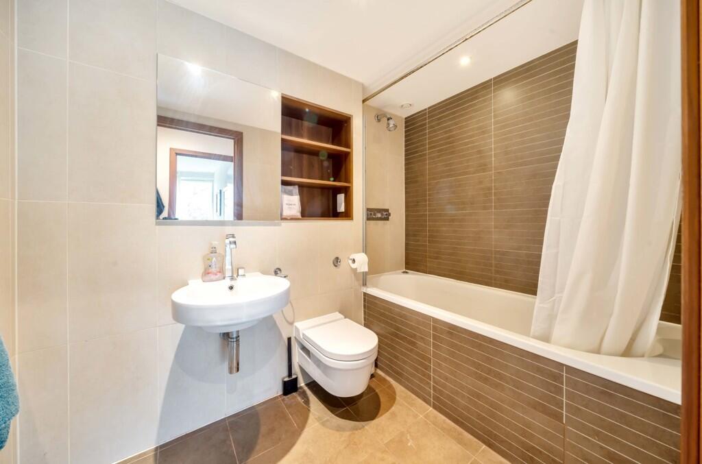
RCL120871- One Bedroom- One Bathroom- Furnished- Balcony A Modern One Bedroom Apartment
- Bedrooms
- 1
- Bathrooms
- 1
The heatmap indicates the level of crime in the area. The color of the heatmap indicates the crime severity and recency.
Metrics Year-on-Year
- Average area value
- 1,364,463.00 £Increased by 19.24 %
- Average area rental value
- 3,454.00 £/moIncreased by 15.21 %
- Est rental Yield
- 3.04 %Decreased by 3.18 %
- Crime Rate
- 5.00 %Unchanged by 0.00 %
from 1,144,255.00 £
from 2,998.00 £/mo
from 3.14 %
from 5.00 %
Agent Activity
Complete RPI created the listing.
Nearby Schools
| Name | Type | Ofsted | Distance |
|---|---|---|---|
| St Mary'S Rc Voluntary Aided Primary School | Voluntary Aided School | Good | 0.56 KM |
| Newton Preparatory School | Other Independent School | 0.57 KM | |
| Sir Simon Milton Westminster University Technical College | University Technical College | 0.90 KM | |
| St Gabriel'S Cofe Primary School | Voluntary Aided School | Good | 0.90 KM |
| St Barnabas' Cofe Primary School | Voluntary Aided School | Good | 1.09 KM |
Images
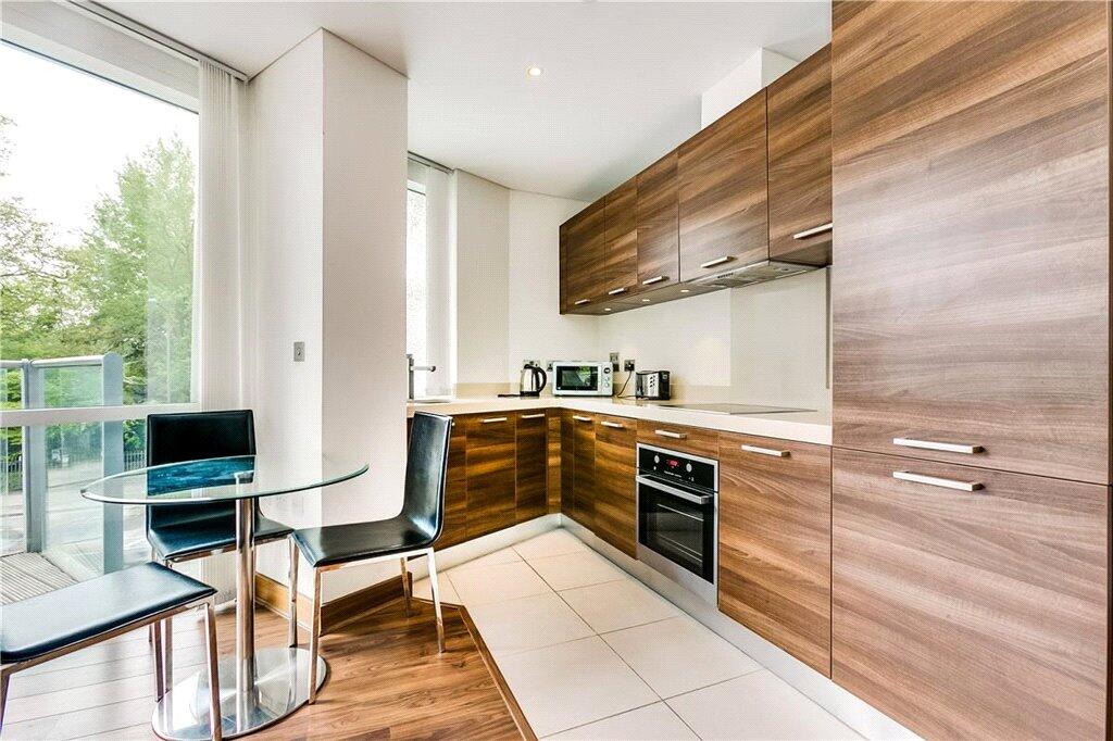
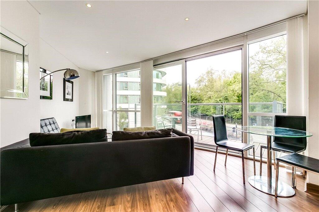
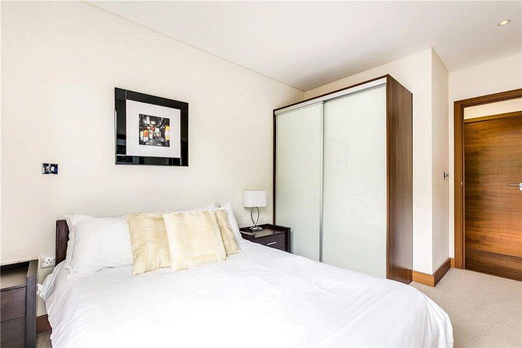
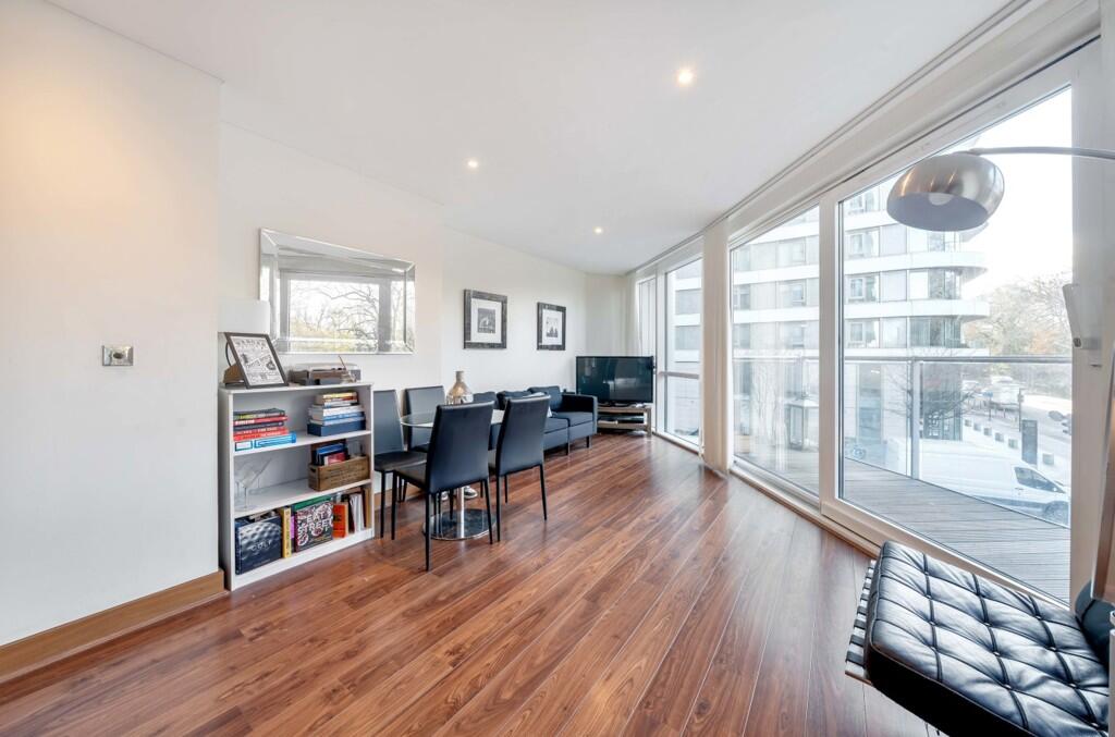
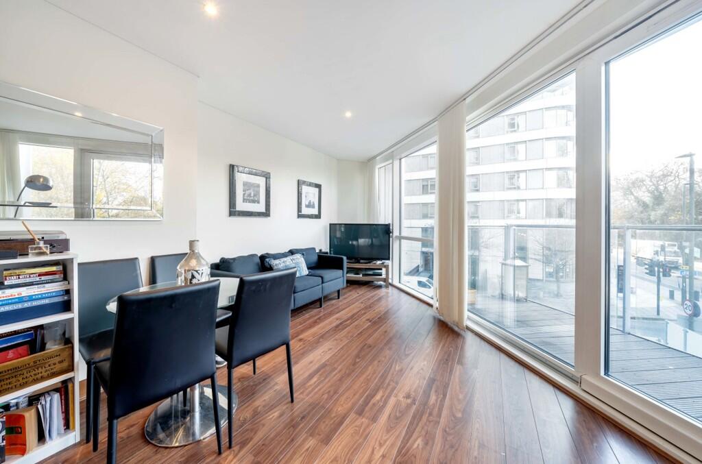
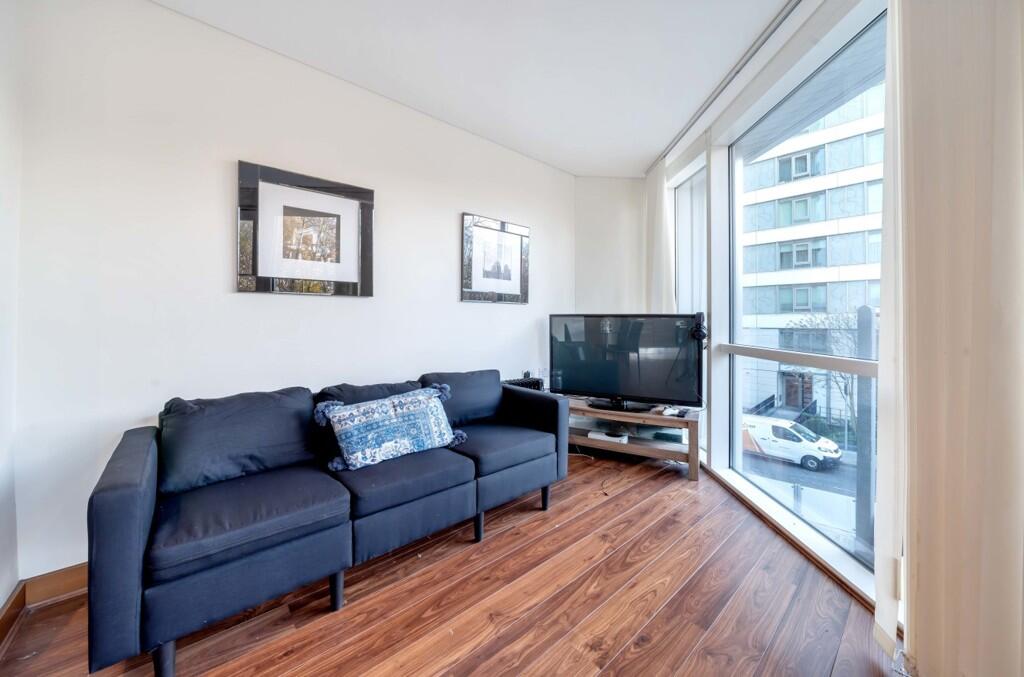
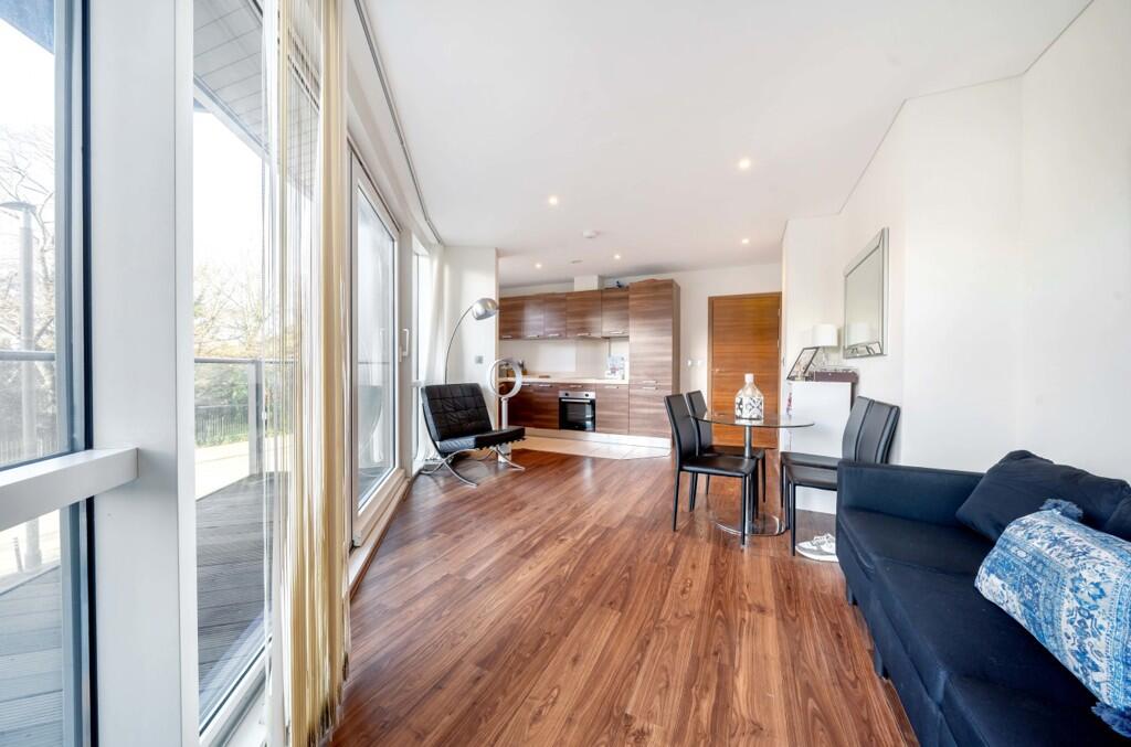
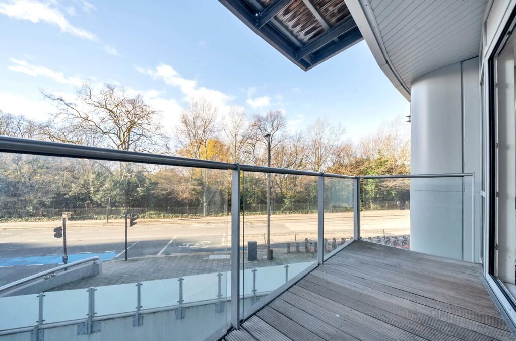
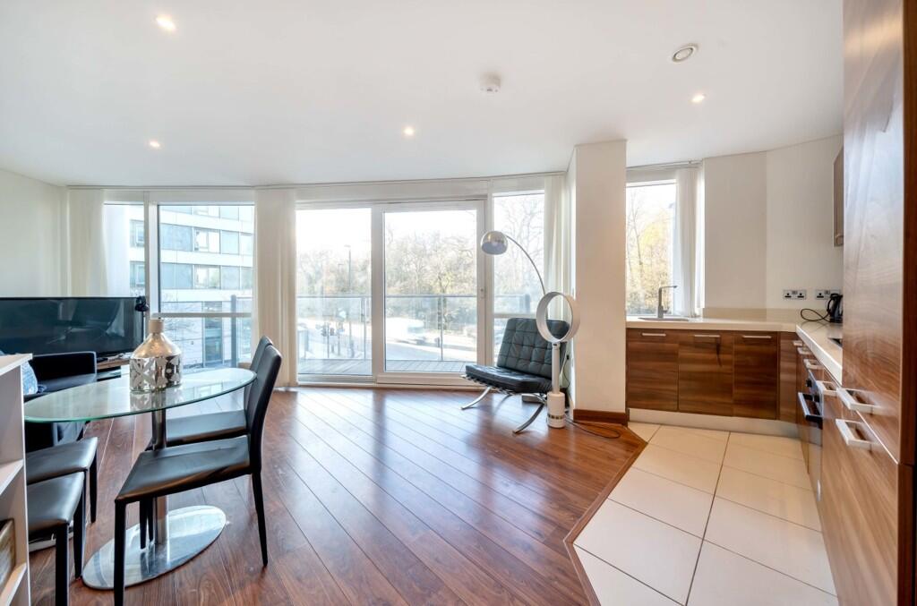
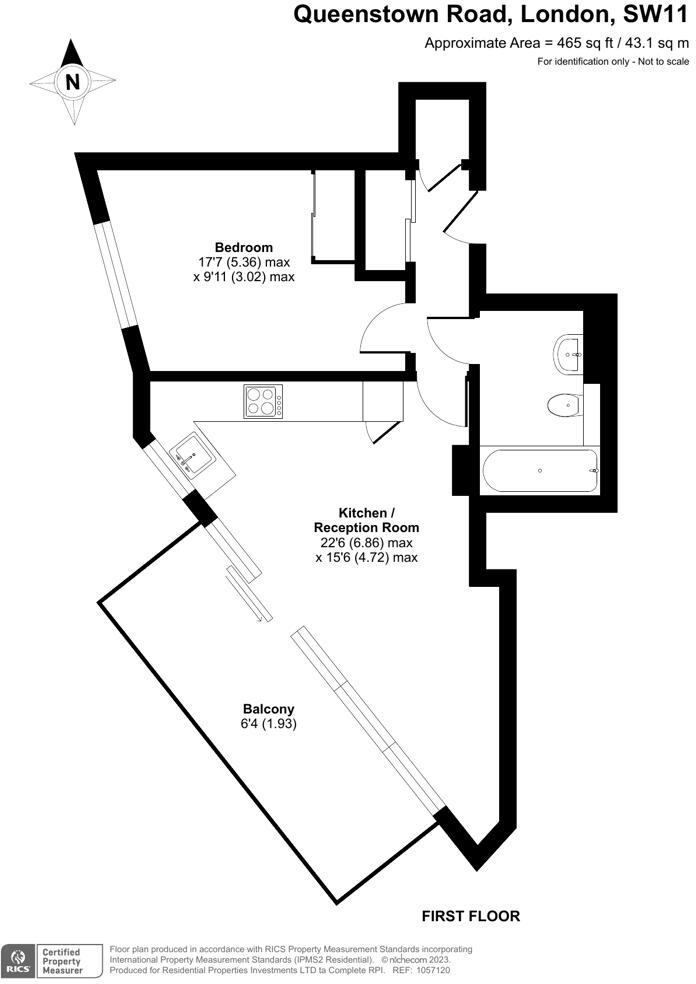
Nearby Streets
| Name | Average Price | Average Sqft | Distance |
|---|---|---|---|
| Battersea Footbridge | £ 0 | 0 | 0.00 KM |
| Chelsea Bridge | £ 0 | 0 | 0.00 KM |
| Palmer Road | £ 0 | 0 | 0.00 KM |
| Circus Road West | £ 0 | 0 | 0.00 KM |
| Circus Road North | £ 0 | 0 | 0.00 KM |
Nearby Transport
| Name | NLC | TLC | Distance |
|---|---|---|---|
| Battersea Park | 5420 | BAK | 0.49 KM |
| Queenstown Road (Battersea) | 5596 | QRB | 0.73 KM |
| Victoria | 5426 | VIC | 1.64 KM |
| Wandsworth Road | 5372 | WWR | 1.67 KM |
| Clapham High Street | 5301 | CLP | 2.51 KM |
Nearby Listings
| Address | Price | Type | Score | Distance |
|---|---|---|---|---|
| Lanson Building, 348 Queenstown Road, London, SW11 | £ 640 | RENT | Unknown | 0.00 KM |
| Lanson Building, 348 Queenstown Road, London, SW11 | £ 630 | RENT | Unknown | 0.00 KM |
| Lanson Building, 348 Queenstown Road, London, SW11 | £ 850 | RENT | Unknown | 0.00 KM |
| Lanson Building, 348 Queenstown Road, London, SW11 | £ 3,650 | RENT | Unknown | 0.00 KM |
| Lanson Building, 348 Queenstown Road, London, SW11 | £ 635 | RENT | Unknown | 0.00 KM |
Nearby Properties
| Address | Price | Distance |
|---|---|---|
| 16 Lurline Gardens | £ 925,000 | 0.45 KM |
| 18 Lurline Gardens | £ 835,500 | 0.45 KM |
| 22 Lurline Gardens | £ 810,000 | 0.45 KM |
| 294 Queenstown Road | £ 110,000 | 0.46 KM |
| 284 Queenstown Road | £ 426,550 | 0.46 KM |