HA
Holyhead Road, COVENTRY
By haart
£ 850
haart says ..
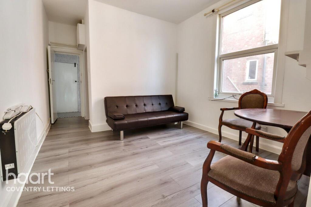
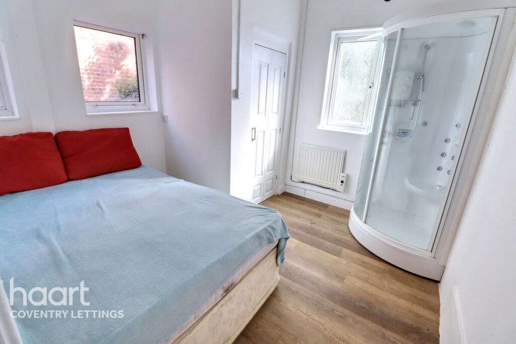
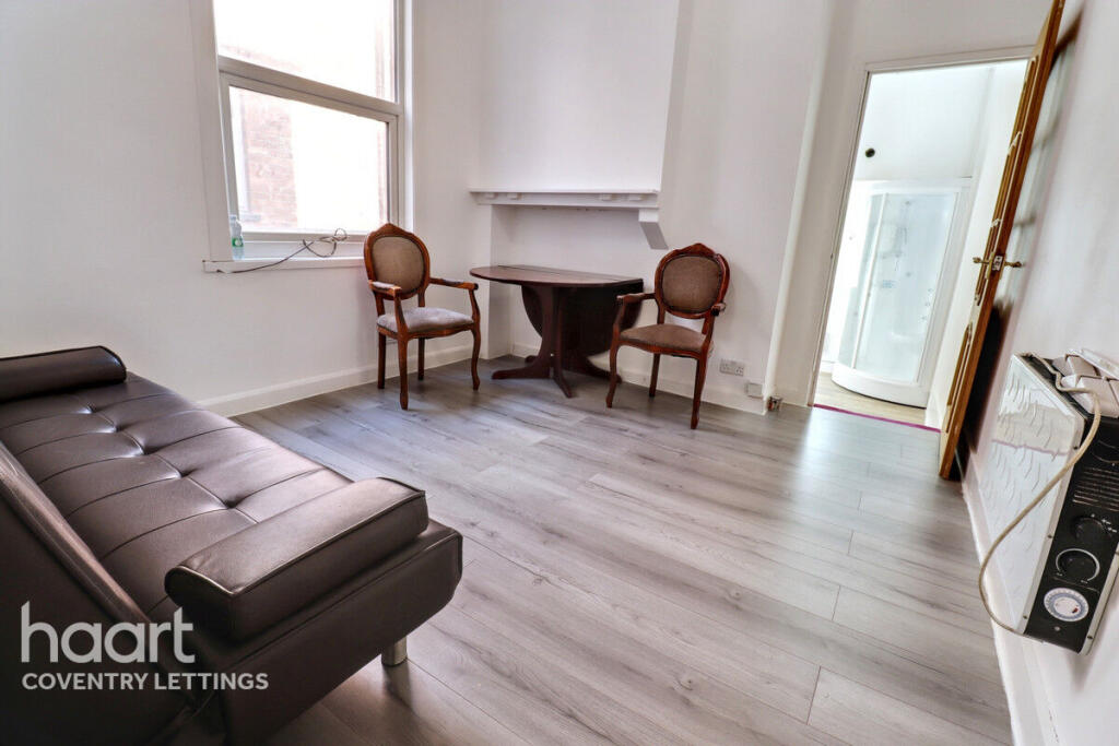
One-bedroom Apartment
- Bedrooms
- 1
- Bathrooms
- 1
The heatmap indicates the level of crime in the area. The color of the heatmap indicates the crime severity and recency.
Metrics Year-on-Year
- Average area value
- 249,545.00 £Increased by 0.84 %
- Average area rental value
- 945.00 £/moIncreased by 4.42 %
- Est rental Yield
- 4.54 %Increased by 3.42 %
- Crime Rate
- 5.00 %Unchanged by 0.00 %
from 247,465.00 £
from 905.00 £/mo
from 4.39 %
from 5.00 %
Agent Activity
haart created the listing.
Nearby Schools
| Name | Type | Ofsted | Distance |
|---|---|---|---|
| Spon Gate Primary School | Community School | Good | 0.32 KM |
| Spon Gate Children'S Centre | Children's Centre | 0.38 KM | |
| Moseley Primary School | Community School | Good | 0.48 KM |
| Bablake School | Other Independent School | 0.49 KM | |
| St Osburg'S Catholic Primary School | Voluntary Aided School | Good | 0.60 KM |
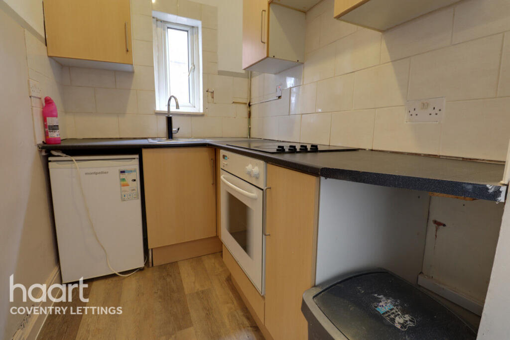
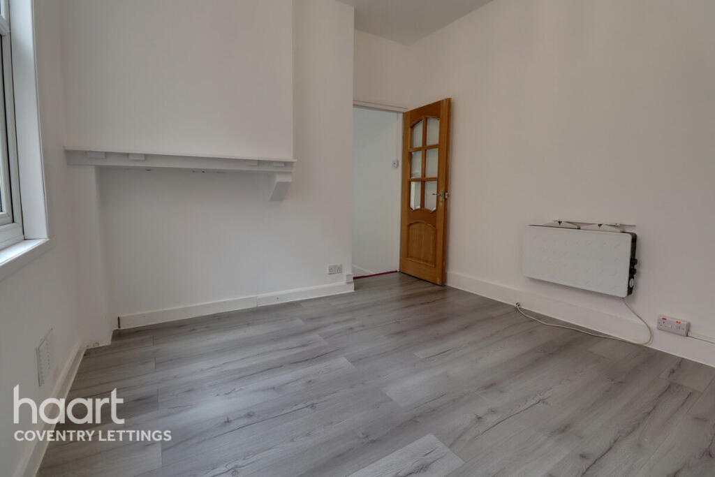
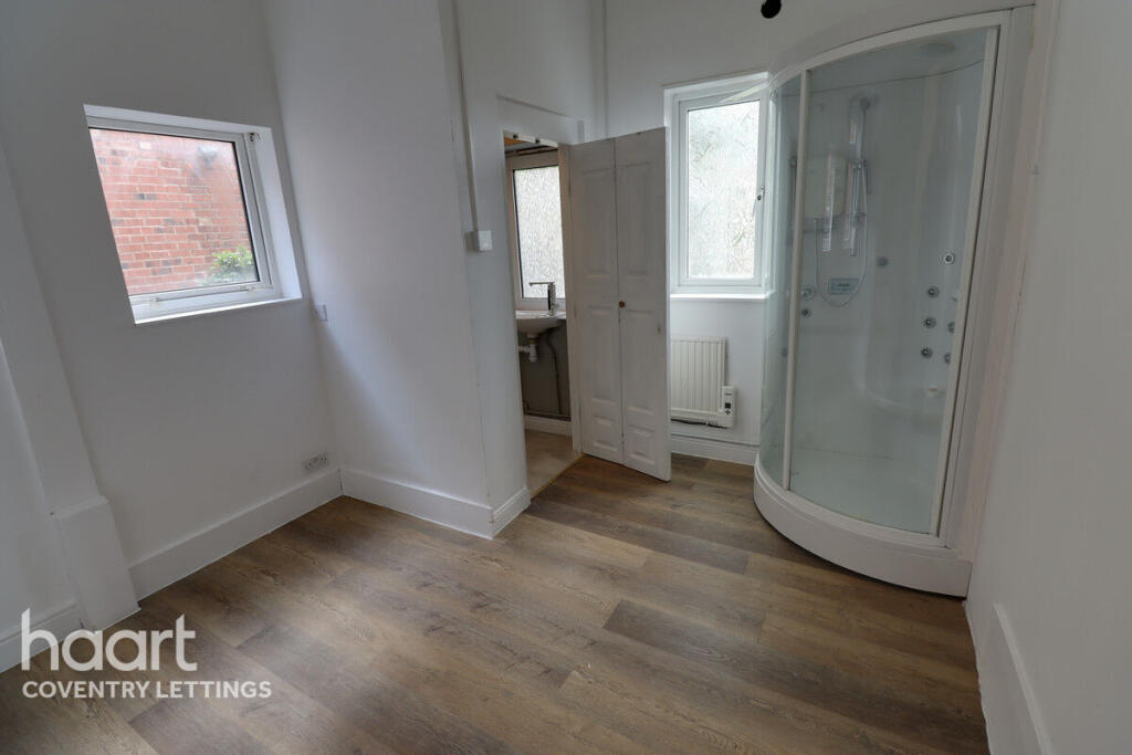
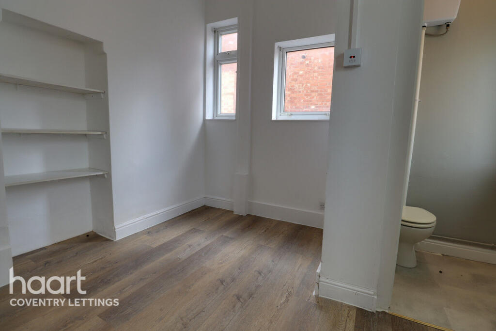
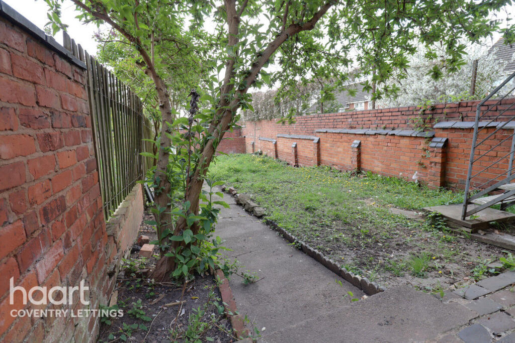
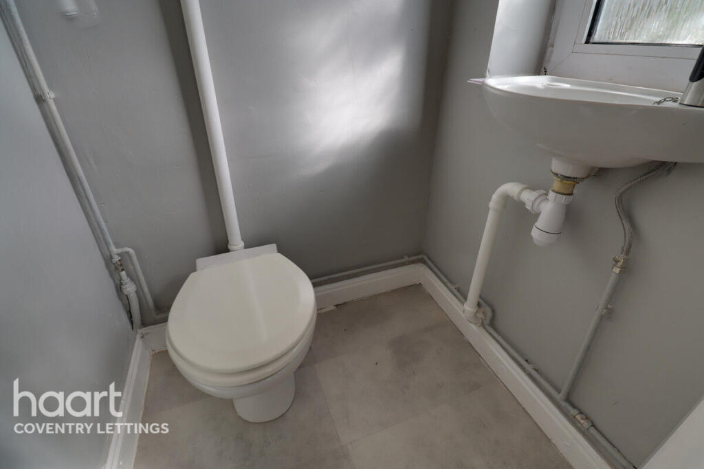
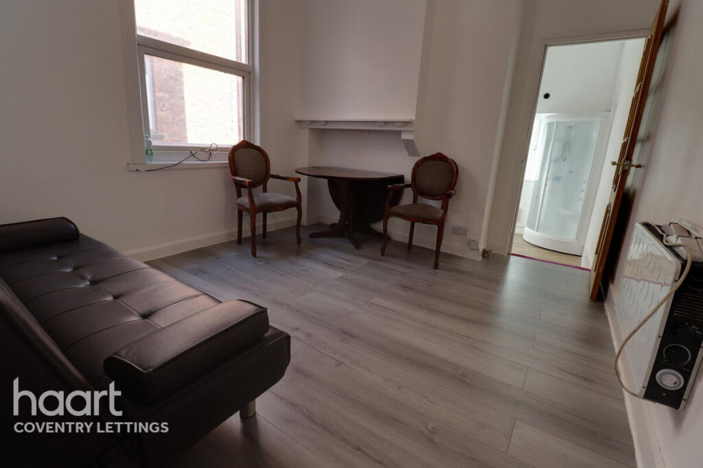
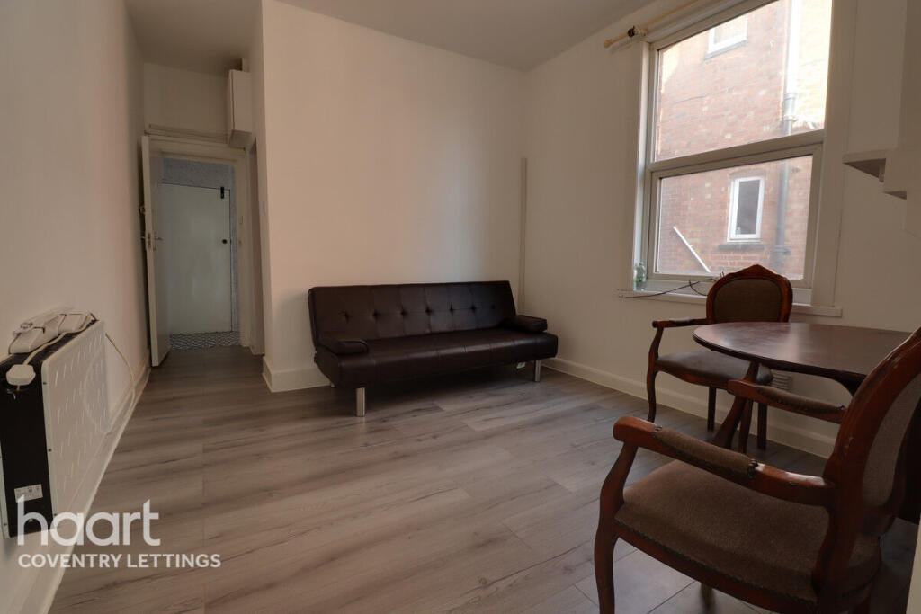
Images

Nearby Streets
| Name | Average Price | Average Sqft | Distance |
|---|---|---|---|
| Broomfield Place | £ 180,000 | 0 | 0.00 KM |
| Meadow Street | £ 0 | 0 | 0.00 KM |
| Albany Court | £ 0 | 0 | 0.00 KM |
| Humberstone Road | £ 0 | 0 | 0.00 KM |
| Albany Road | £ 0 | 0 | 0.00 KM |
Nearby Transport
| Name | NLC | TLC | Distance |
|---|---|---|---|
| Coventry | 1030 | COV | 1.72 KM |
| Canley | 1129 | CNL | 2.86 KM |
| Coventry Arena | 7416 | CAA | 5.28 KM |
| Tile Hill | 1035 | THL | 8.17 KM |
| Kenilworth | 7985 | KNW | 9.30 KM |
Nearby Listings
| Address | Price | Type | Score | Distance |
|---|---|---|---|---|
| Holyhead Road, COVENTRY | £ 850 | RENT | Unknown | 0.00 KM |
| Holyhead Road, COVENTRY | £ 850 | RENT | Unknown | 0.00 KM |
| Holyhead Road, COVENTRY | £ 750 | RENT | Unknown | 0.00 KM |
| Holyhead Road, COVENTRY | £ 850 | RENT | Unknown | 0.00 KM |
| Holyhead Road, COVENTRY | £ 700 | RENT | Unknown | 0.00 KM |
Nearby Properties
| Address | Price | Distance |
|---|---|---|
| 72 Waveley Road | £ 51,000 | 0.08 KM |
| 100 Waveley Road | £ 139,000 | 0.08 KM |
| 76 Waveley Road | £ 187,000 | 0.08 KM |
| 84 Waveley Road | £ 100,000 | 0.08 KM |
| 104 Waveley Road | £ 176,500 | 0.08 KM |