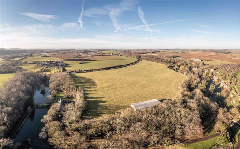
Lindrick Dale, Worksop, Nottinghamshire
By The County Property Auction
£ 180,000
The County Property Auction says ..
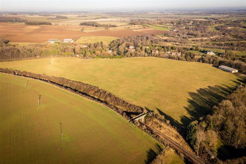
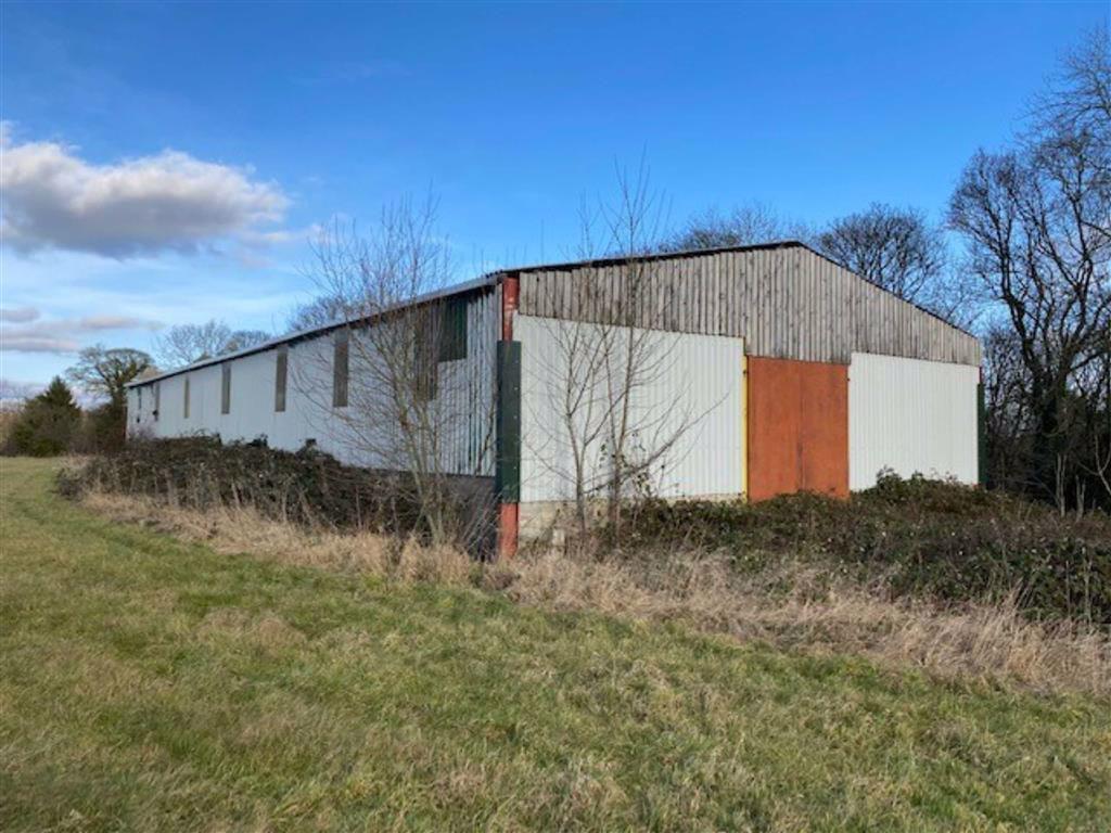
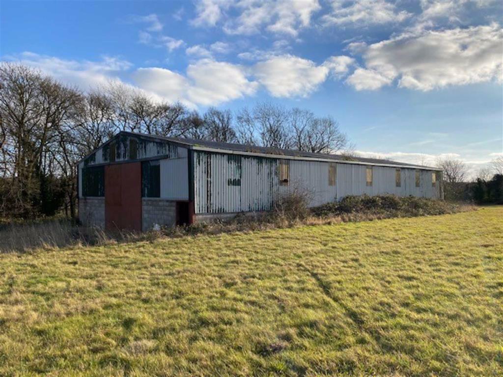
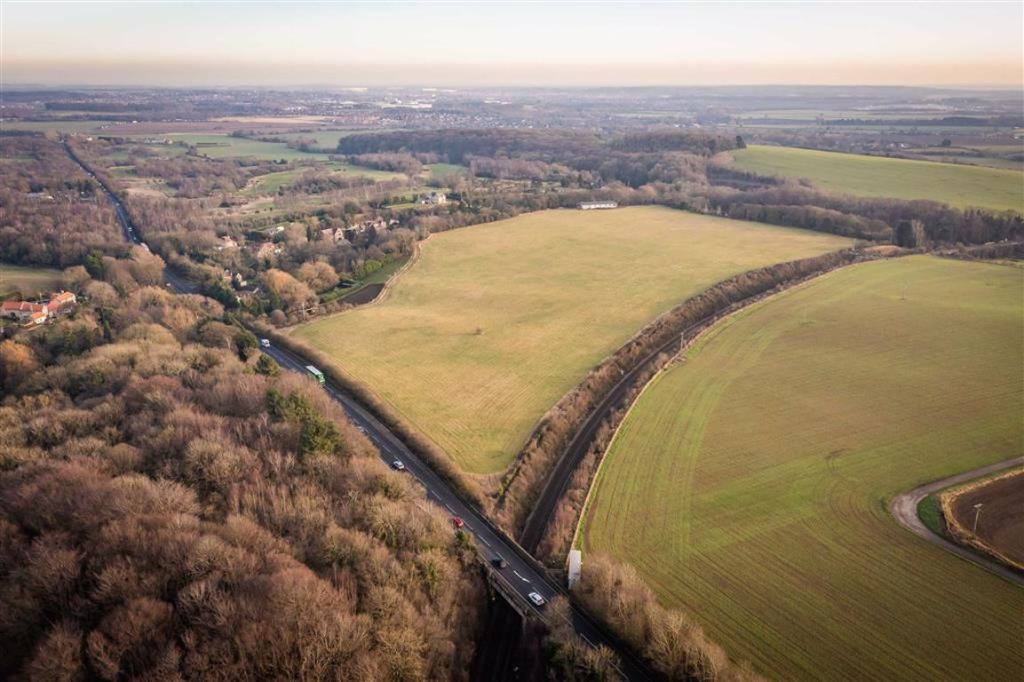
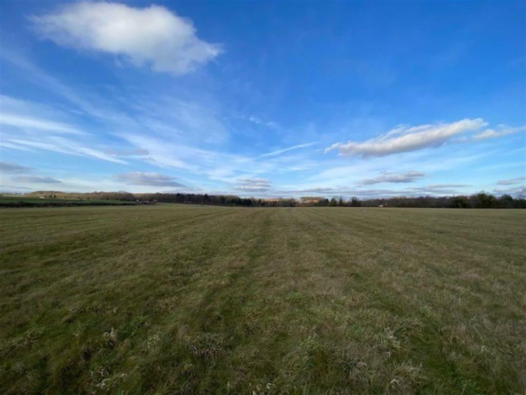
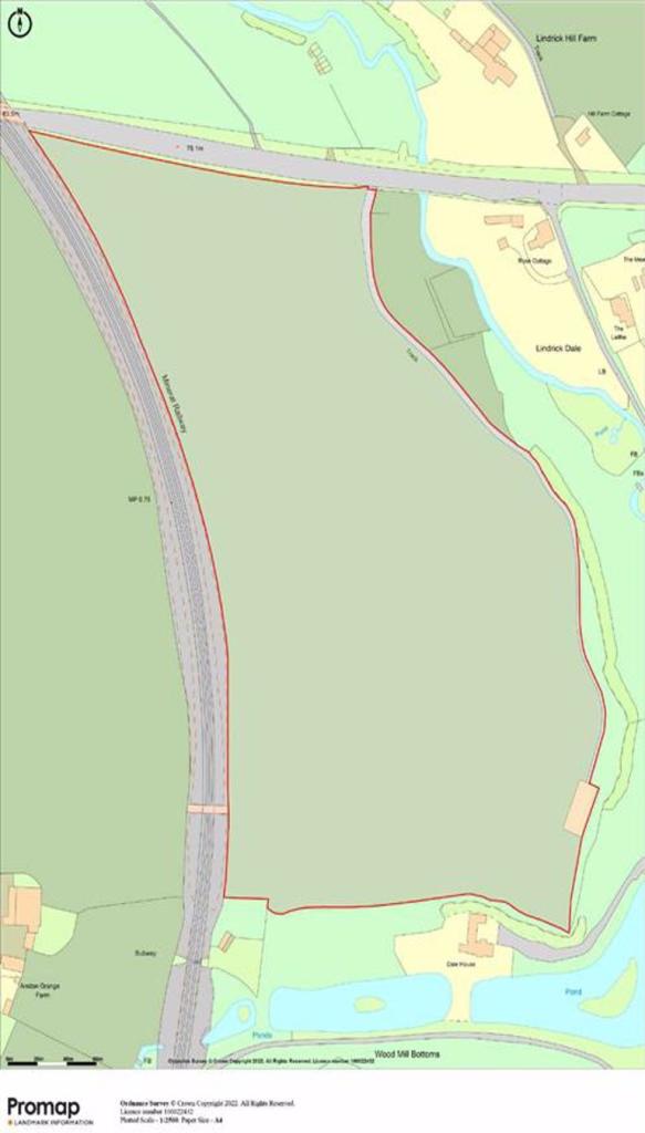
Lot 7 - Live stream auction 2nd March (unless sold prior) - Around 25.3 Acres - General purpose agricultural building - Around 4,730 sqft - Close to Lindrick golf club - Buyers fee £750 + VAT<br /><br /><b>Description</b> - An area of grassland extending to approximately 25.3 Acres (10.2 Hectares) together with a useful general purpose agricultural building, approximately 4,730 sqft (440m), portal framed with half block walls. Close to Lindrick Dale and Lindrick Golf Club.<br /><br /><b>Directions</b> - Leaving Worksop from the A57 bypass or Gateford Road, proceed westerly along Worksop Road (A57) passing Lindrick Golf Club. As the road dips into the valley after the turning to Lindrick Dale on the left and as you begin to go up the other side, the land will be found on the left-hand side.<br /><br /> <br /><br /><b>Auction Bidder Identity Check</b> - Prior to bidding on any auction lots we are required to verify the identity of the bidder to comply with The Money Laundering, Terrorist Financing and Transfer of Funds (Information on the Payer) Regulation 2017. We also need to complete the remote bidding registration process as this will be a live stream event only. Please contact us on or <br /><br /><b>Agent</b> - Jeremy Baguley or James Mulhall<br /><br />You may download, store and use the material for your own personal use and research. You may not republish, retransmit, redistribute or otherwise make the material available to any party or make the same available on any website, online service or bulletin board of your own or of any other party or make the same available in hard copy or in any other media without the website owner's express prior written consent. The website owner's copyright must remain on all reproductions of material taken from this website.<br /><br />
- Bedrooms
- 0
- Bathrooms
- 0
The heatmap indicates the level of crime in the area. The color of the heatmap indicates the crime severity and recency.
Metrics Year-on-Year
- Average area value
- 466,111.00 £Increased by 33.28 %
- Average area rental value
- 1,050.00 £/moIncreased by 28.83 %
- Est rental Yield
- 2.70 %Decreased by 3.57 %
- Crime Rate
- 0.00 %
Agent Activity
The County Property Auction created the listing.
Nearby Schools
| Name | Type | Ofsted | Distance |
|---|---|---|---|
| Woodsetts Primary School | Academy Converter | Good | 2.33 KM |
| St Luke'S Cofe (Aided) Primary School | Voluntary Aided School | Good | 3.27 KM |
| Anston Park Infant School | Academy Converter | 3.33 KM | |
| Anston Park Junior School | Community School | Requires improvement | 3.33 KM |
| Anston Hillcrest Primary School | Academy Converter | 3.35 KM |
Images
Nearby Transport
| Name | NLC | TLC | Distance |
|---|---|---|---|
| Shireoaks | 6570 | SRO | 3.10 KM |
| Kiveton Park | 6565 | KVP | 5.33 KM |
| Whitwell (Derbyshire) | 6551 | WWL | 6.72 KM |
| Worksop | 6574 | WRK | 8.24 KM |
| Kiveton Bridge | 6401 | KIV | 8.35 KM |
Nearby Properties
| Address | Price | Distance |
|---|---|---|
| 22 Dinnington Road | £ 185,000 | 1.83 KM |
| 6 Dinnington Road | £ 132,000 | 1.90 KM |
| 20 Dinnington Road | £ 38,000 | 1.90 KM |
| 15 Whitfield Gardens | £ 170,000 | 1.91 KM |
| 7 Whitfield Gardens | £ 95,950 | 1.91 KM |