Athertons says ..
-Afforable Housing Property- Please check if you are eligible for affordable housing. This means any person: - Who is already occupying housing as a tenant of a Registered Provider; - Who is on a housing register kept by the council (or its agent) or who the Council is ...
Property Oracle says ..
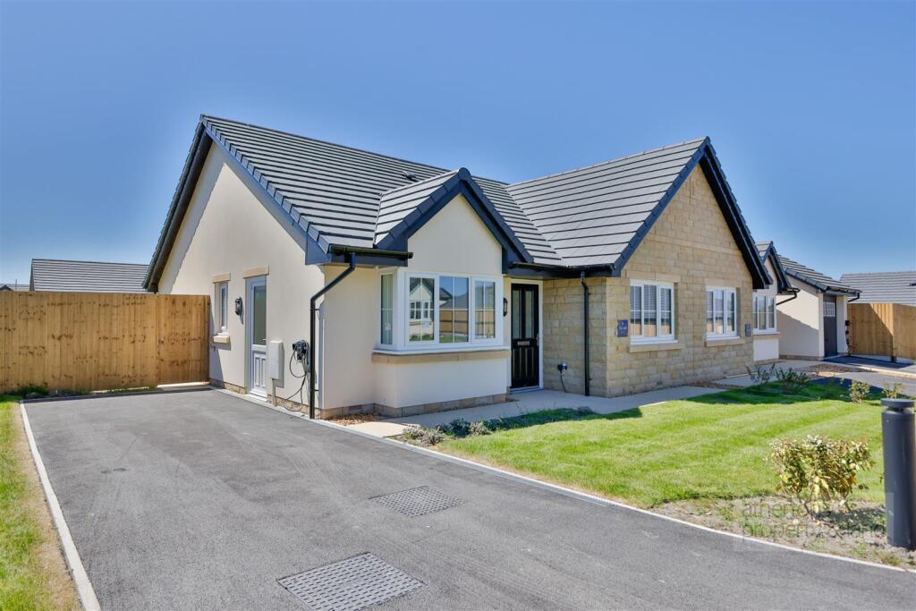
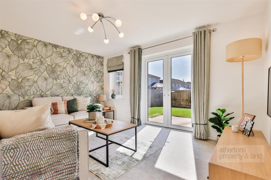
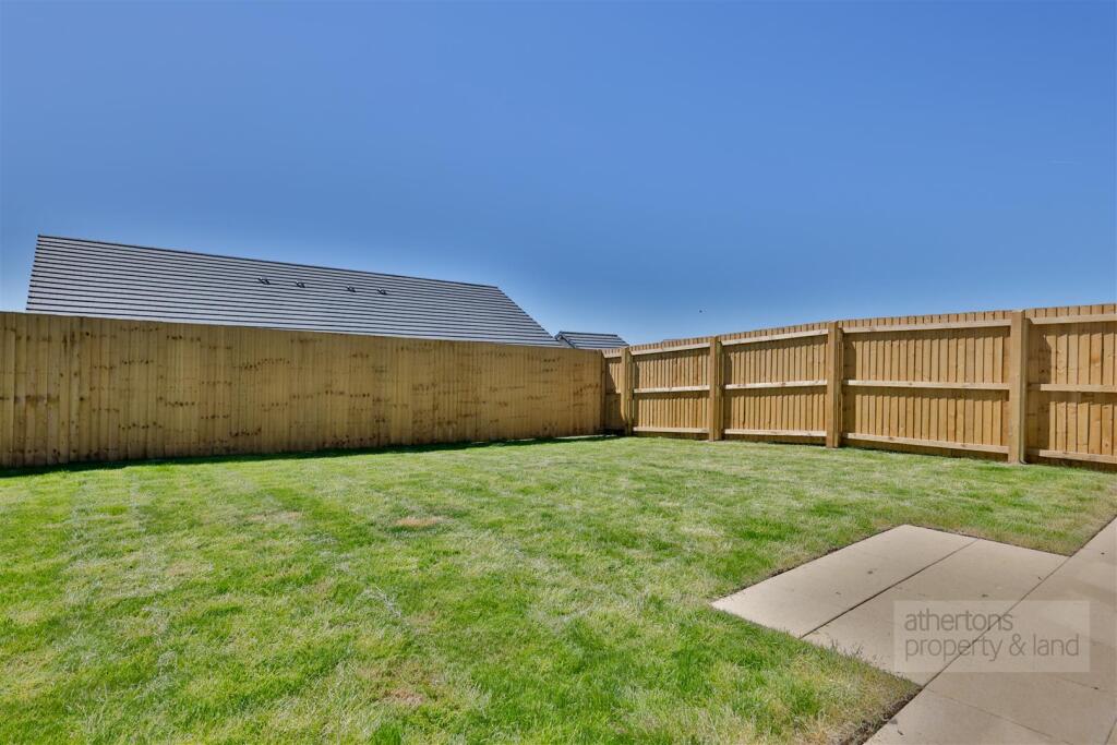
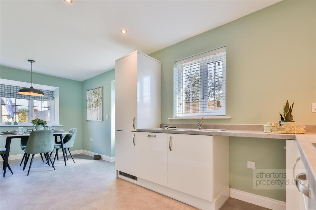
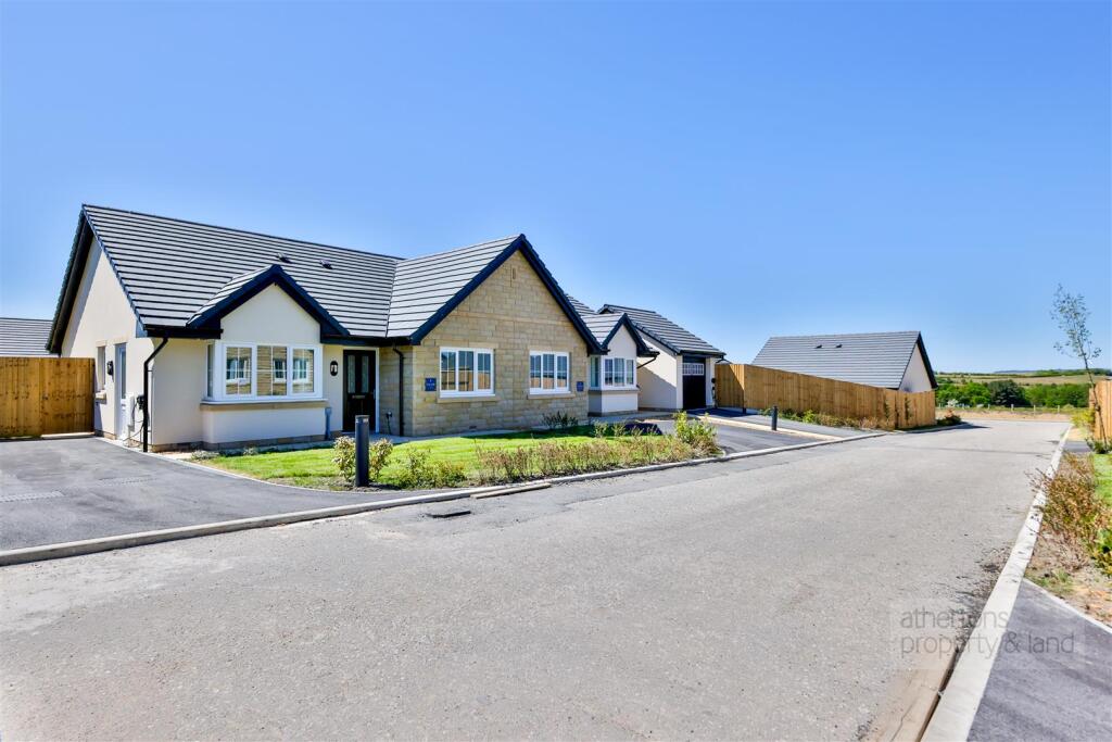
The property is a well-maintained, modern semi-detached bungalow in a convenient location. The asking price is below the average for the area, potentially representing good value for money.
Therefore, we give this property 8 / 10. *Disclaimer: This is our option and does constitute a recommendation or financial advice. Do your own research. *
- Price
- 9
- Condition
- 10
- Location
- 8
- Land
- 7
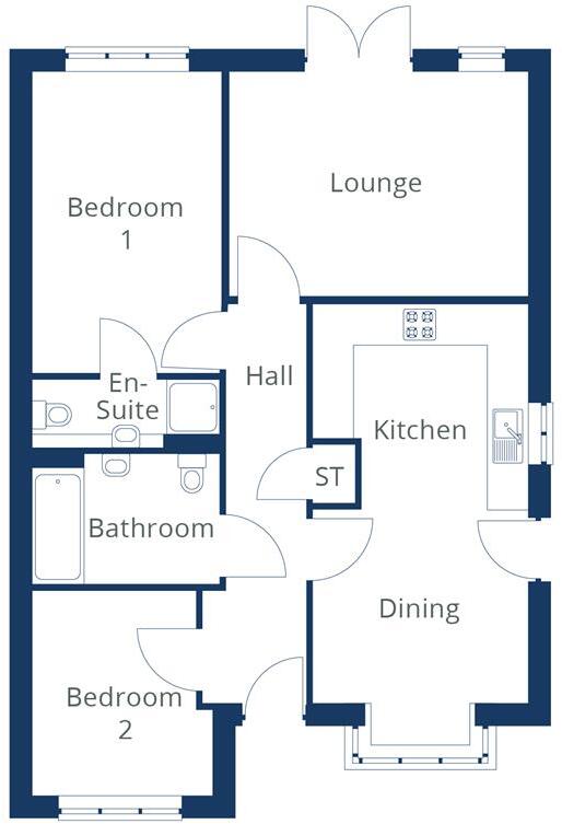
- Bedrooms
- 2
- Bathrooms
- 2
- Sqft (est)
- 872.00
The heatmap indicates the level of crime in the area. The color of the heatmap indicates the crime severity and recency.
Metrics Year-on-Year
- Average area value
- 537,450.00 £Increased by 70.34 %
- Est sale value
- 345,312.00 £Increased by 40.43 %
- Average area rental value
- 988.00 £/moIncreased by 30.00 %
- Est letting value
- 0.00 £/mo
- Est rental Yield
- 2.21 %Decreased by 23.53 %
- Crime Rate
- 11.00 %Unchanged by 0.00 %
Agent Activity
Athertons created the listing.
Nearby Schools
| Name | Type | Ofsted | Distance |
|---|---|---|---|
| Worsthorne Primary School | Community School | Good | 1.09 KM |
| Compass Community School Lancashire | Other Independent Special School | 1.83 KM | |
| Burnley Brunshaw Primary School | Community School | Requires improvement | 2.12 KM |
| Sir John Thursby Community College | Foundation School | Good | 2.22 KM |
| Unity College | Foundation School | Good | 2.32 KM |
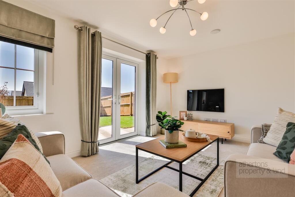
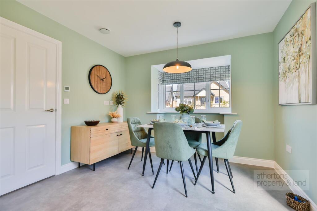
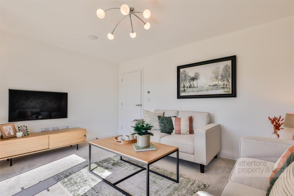
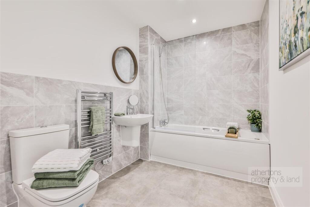
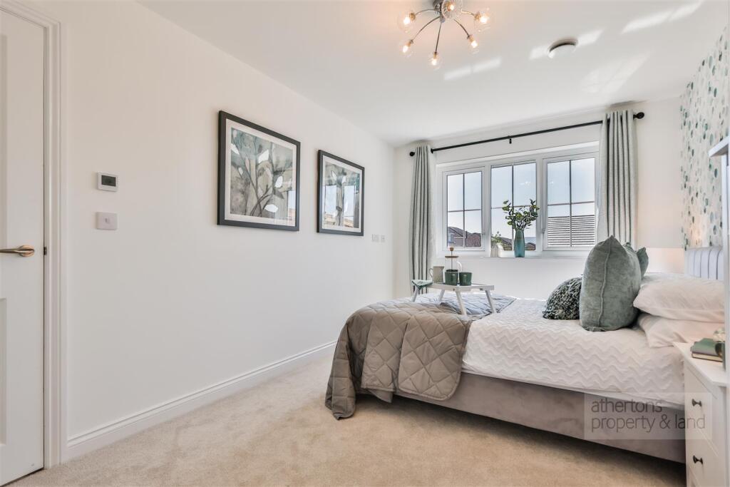
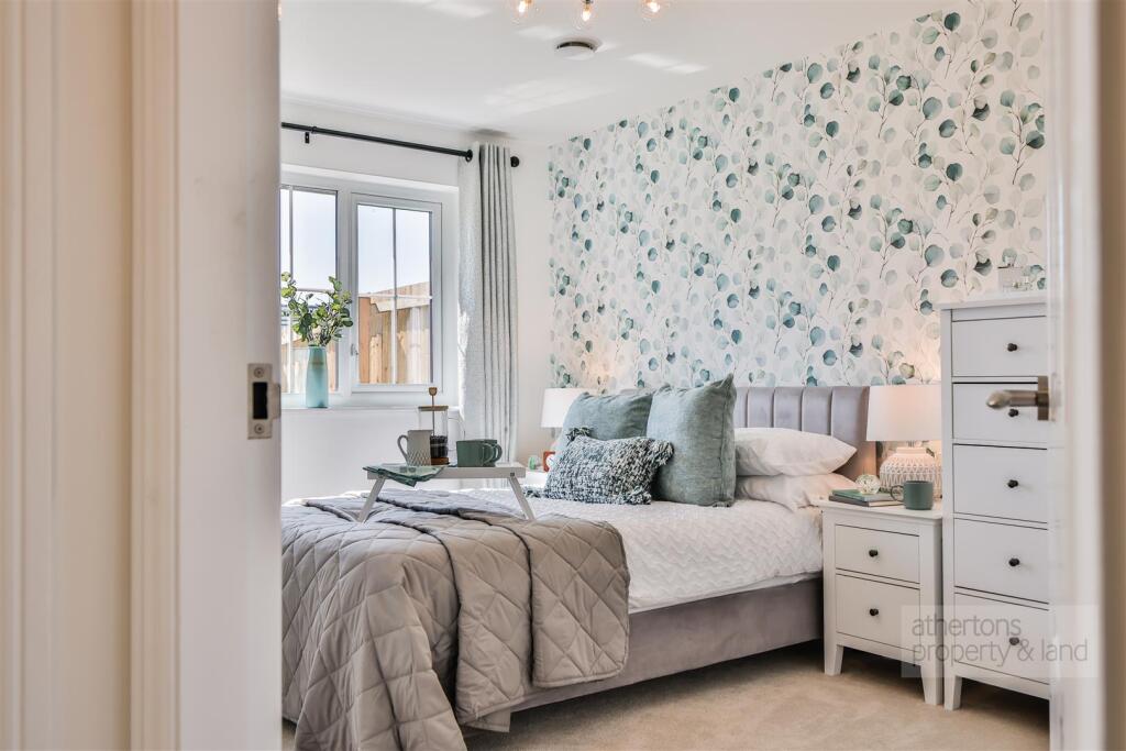
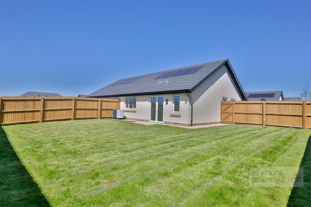
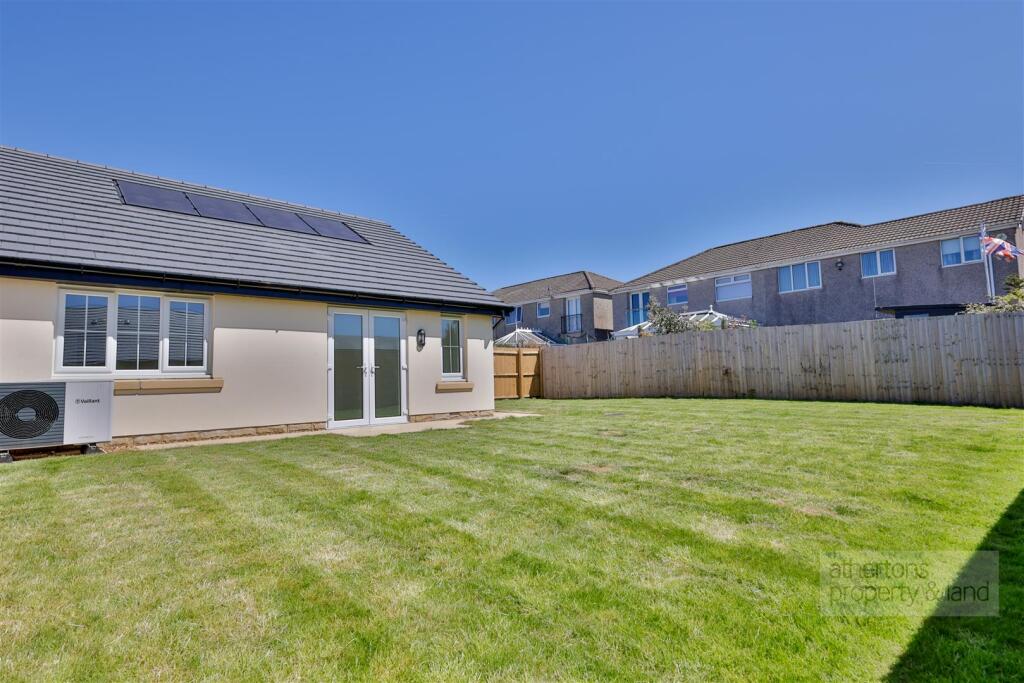
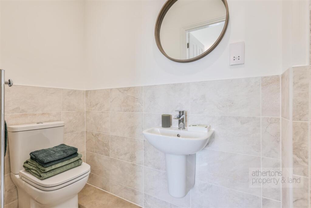
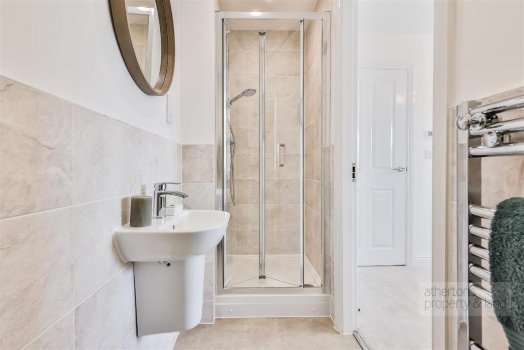
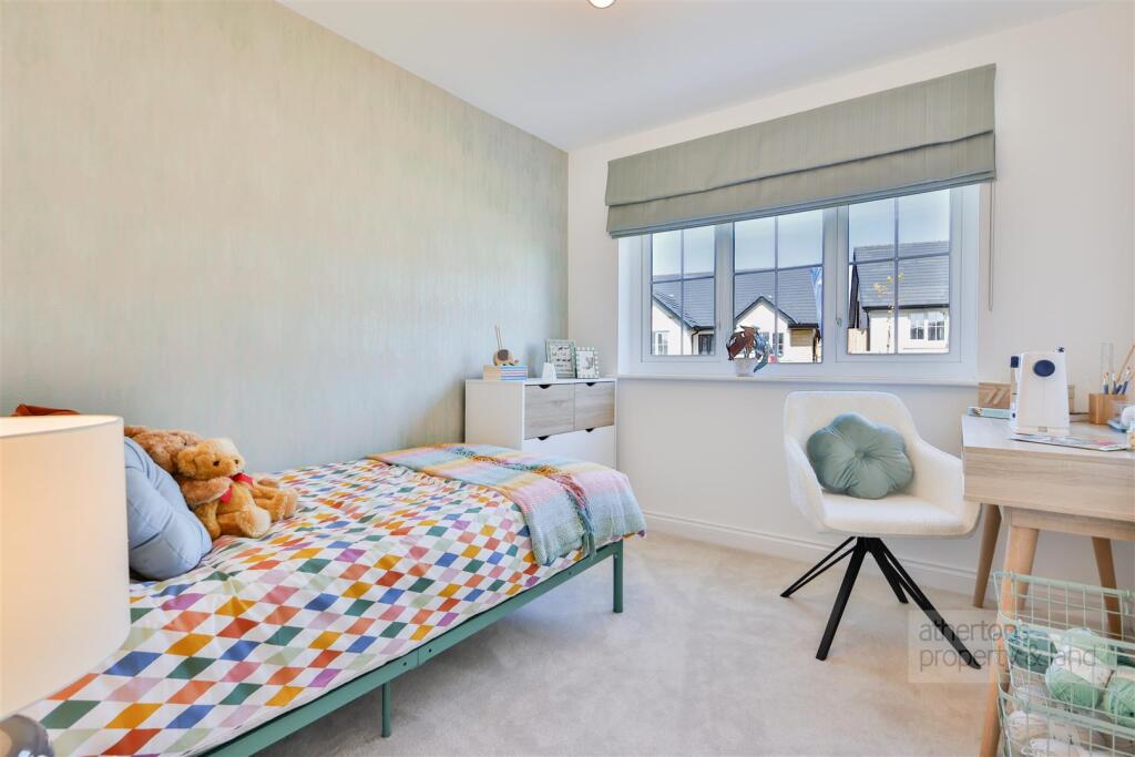
Images


Nearby Streets
| Name | Average Price | Average Sqft | Distance |
|---|---|---|---|
| Mayfair Road | £ 179,950 | 0 | 0.00 KM |
| Deerpark Road | £ 229,950 | 0 | 0.00 KM |
| Hall Street | £ 0 | 0 | 0.00 KM |
| Halstead Street | £ 0 | 0 | 0.00 KM |
| Arncliffe Road | £ 279,950 | 0 | 0.00 KM |
Nearby Transport
| Name | NLC | TLC | Distance |
|---|---|---|---|
| Burnley Central | 2550 | BNC | 4.72 KM |
| Nelson | 2565 | NEL | 5.07 KM |
| Burnley Manchester Road | 2549 | BYM | 5.18 KM |
| Brierfield | 2554 | BRF | 5.28 KM |
| Burnley Barracks | 2743 | BUB | 6.16 KM |
Nearby Listings
| Address | Price | Type | Score | Distance |
|---|---|---|---|---|
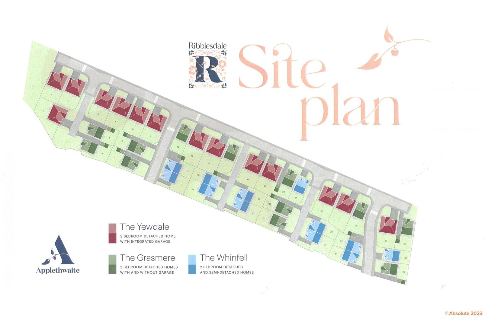
| Ribblesdale, Worsthorne | £ 195,000 | BUY | 8 / 10 | 0.00 KM |
| Ribblesdale, Smithyfield Avenue, Worsthorne | £ 395,000 | BUY | Unknown | 0.00 KM |
| Ribblesdale, Smithyfield Avenue, Worsthorne | £ 395,000 | BUY | 7 / 10 | 0.00 KM |
| Ribblesdale, Worsthorne | £ 275,000 | BUY | 8 / 10 | 0.00 KM |
| Ribblesdale, Worsthorne | £ 195,000 | BUY | 8 / 10 | 0.00 KM |
Nearby Properties
| Address | Price | Distance |
|---|---|---|
| 28 Smithyfield Avenue | £ 219,950 | 0.06 KM |
| 22 Smithyfield Avenue | £ 230,000 | 0.06 KM |
| 12 Smithyfield Avenue | £ 297,000 | 0.06 KM |
| 24 Smithyfield Avenue | £ 220,000 | 0.06 KM |
| 20 Smithyfield Avenue | £ 332,500 | 0.06 KM |