CA
Regent Terrace, Sunderland, Tyne & Wear, SR2 9QN
By Carter Property Services
£ 595
Carter Property Services says ..
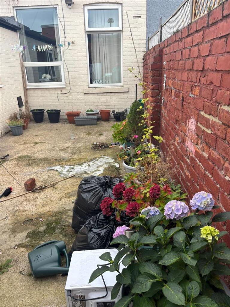
2 bed terraced house with a yard
- Bedrooms
- 2
- Bathrooms
- 0
The heatmap indicates the level of crime in the area. The color of the heatmap indicates the crime severity and recency.
Metrics Year-on-Year
- Average area value
- 502,893.00 £Increased by 16.71 %
- Average area rental value
- 1,587.00 £/moDecreased by 12.80 %
- Est rental Yield
- 3.79 %Decreased by 25.25 %
- Crime Rate
- 14.00 %Unchanged by 0.00 %
from 430,903.00 £
from 1,820.00 £/mo
from 5.07 %
from 14.00 %
Agent Activity
Carter Property Services created the listing.
Nearby Schools
| Name | Type | Ofsted | Distance |
|---|---|---|---|
| Grangetown Primary School | Community School | Good | 0.33 KM |
| Sunderland Children'S Centre Grangetown | Children's Centre Linked Site | 0.33 KM | |
| Valley Road Academy | Academy Converter | 1.07 KM | |
| Southmoor Academy | Academy Converter | Good | 1.12 KM |
| Hopespring Sunderland | Other Independent School | 1.24 KM |
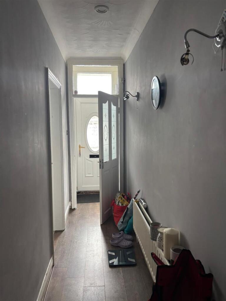
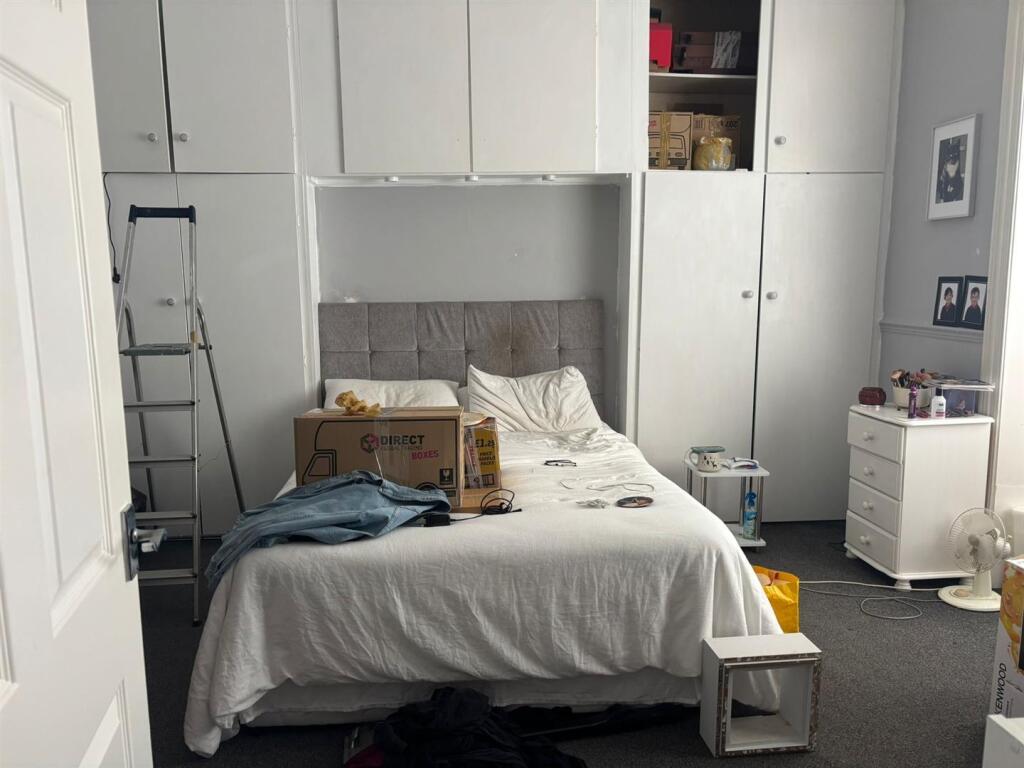
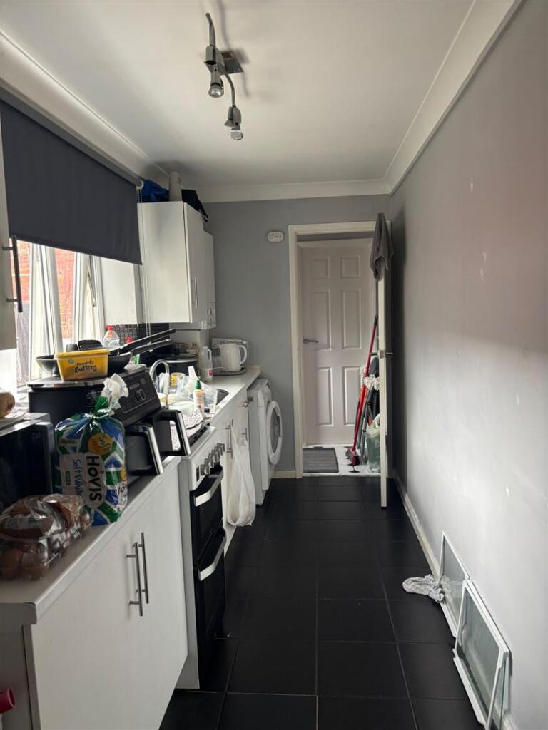
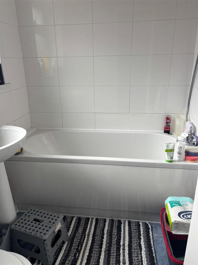
Images

Nearby Streets
| Name | Average Price | Average Sqft | Distance |
|---|---|---|---|
| Beverley Road | £ 0 | 0 | 0.00 KM |
| Ocean Road | £ 0 | 0 | 0.00 KM |
| St Aidan's Avenue | £ 185,000 | 0 | 0.00 KM |
| Romney Avenue | £ 195,000 | 0 | 0.00 KM |
| Rushton Avenue | £ 0 | 0 | 0.00 KM |
Nearby Transport
| Name | NLC | TLC | Distance |
|---|---|---|---|
| Sunderland | 7640 | SUN | 2.71 KM |
| Seaham | 7814 | SEA | 5.74 KM |
Nearby Listings
| Address | Price | Type | Score | Distance |
|---|---|---|---|---|
| Regent Terrace, Sunderland, Tyne & Wear, SR2 9QN | £ 595 | RENT | Unknown | 0.00 KM |
| Sunderland, Sunderland, SR2 | £ 500 | RENT | Unknown | 0.06 KM |
| Leechmere Road, Sunderland | £ 750 | RENT | Unknown | 0.18 KM |
| Beverley Road, Sunderland, Tyne and Wear, SR2 | £ 1,150 | RENT | Unknown | 0.20 KM |
| Grange Street South, Sunderland, Tyne And Wear, SR2 | £ 700 | RENT | Unknown | 0.22 KM |
Nearby Properties
| Address | Price | Distance |
|---|---|---|
| 28 Markham Street | £ 84,000 | 0.04 KM |
| 20 Markham Street | £ 80,000 | 0.04 KM |
| 19 Markham Street | £ 77,950 | 0.04 KM |
| 17 Markham Street | £ 57,000 | 0.04 KM |
| 11 Markham Street | £ 36,950 | 0.04 KM |