
HA
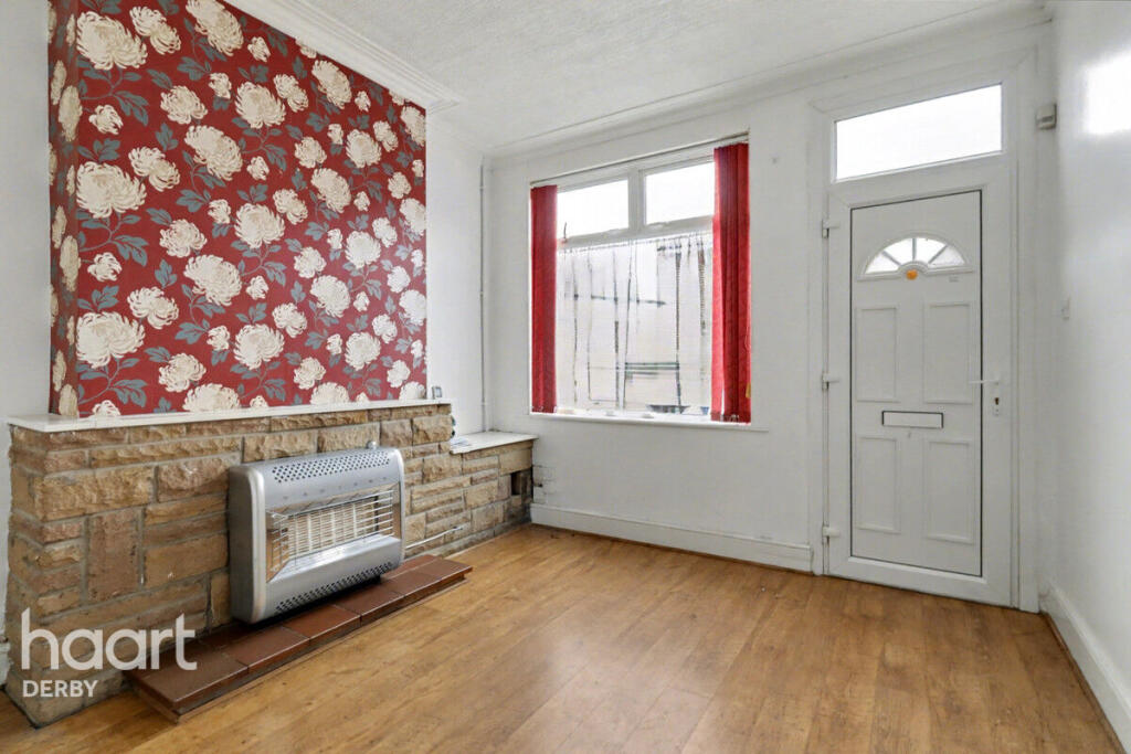
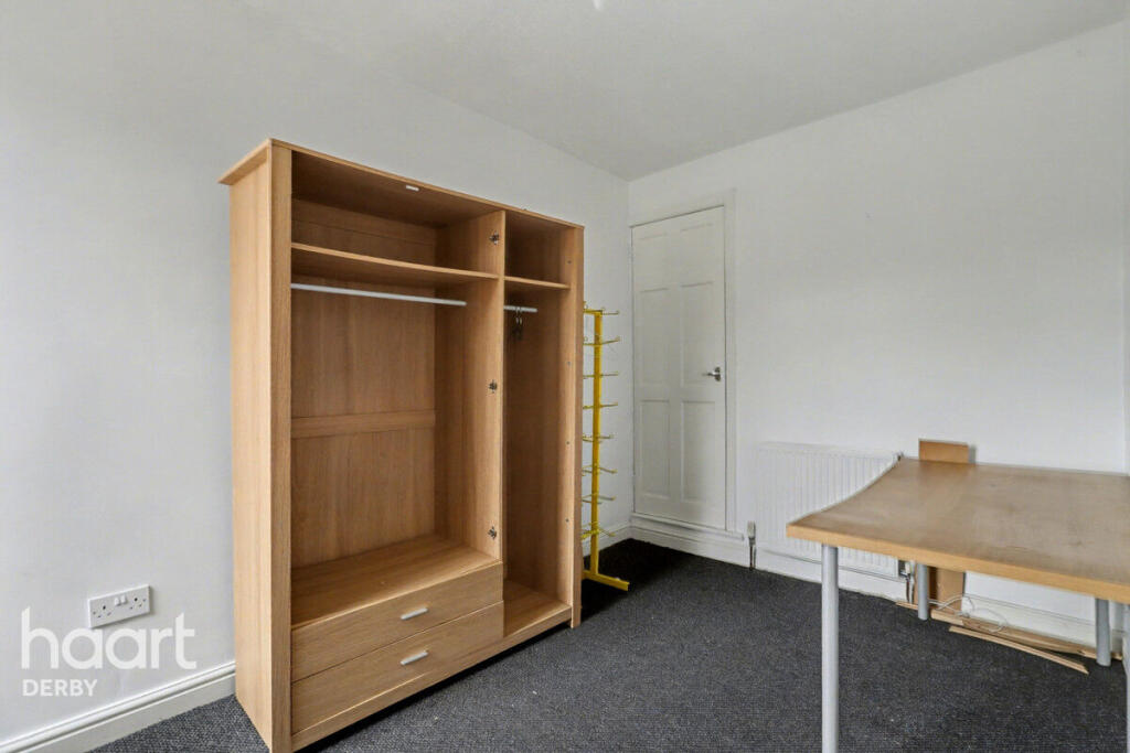
Scott Street, Derby
By haart
£ 850
haart says ..
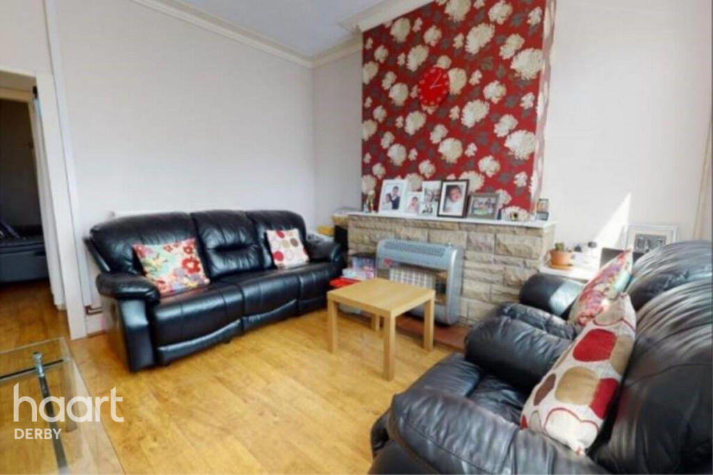
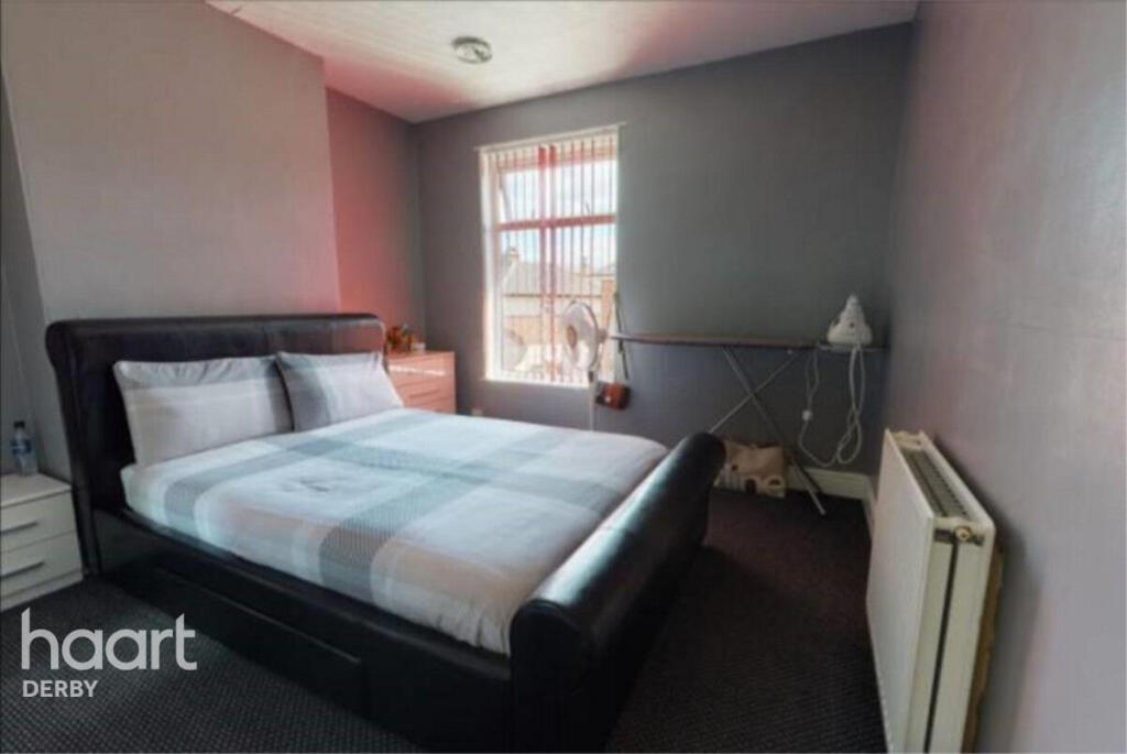
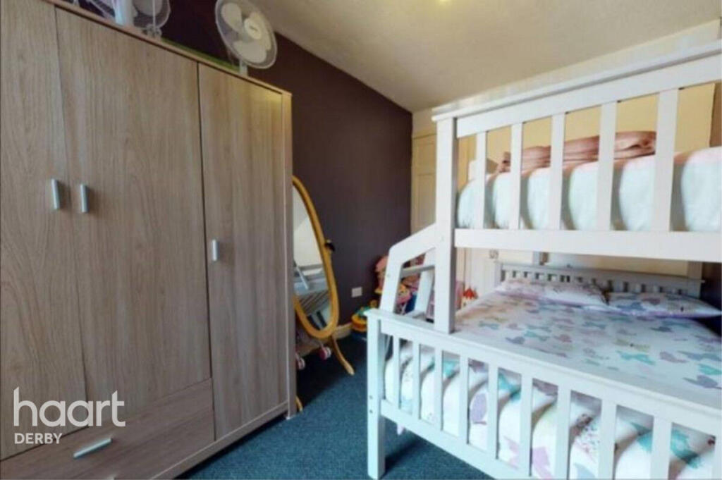
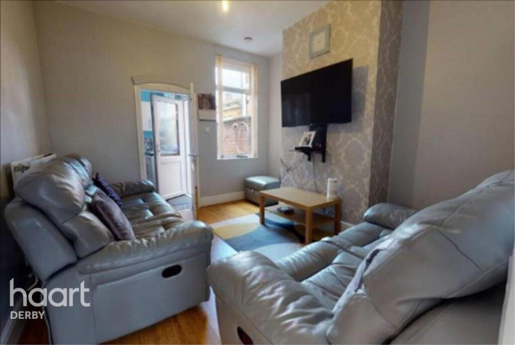
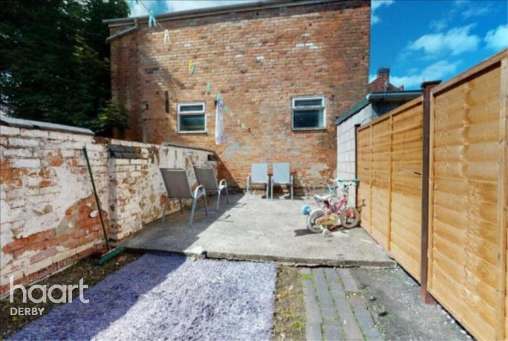
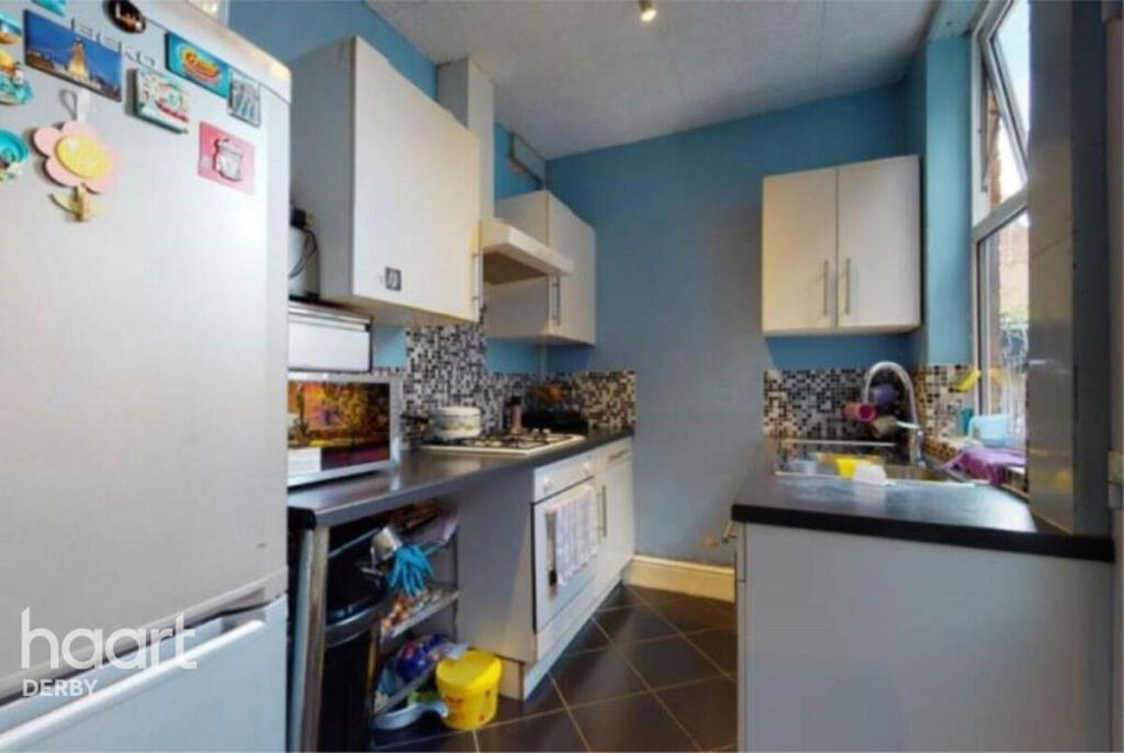
A fantastic two double bedroom house
- Bedrooms
- 2
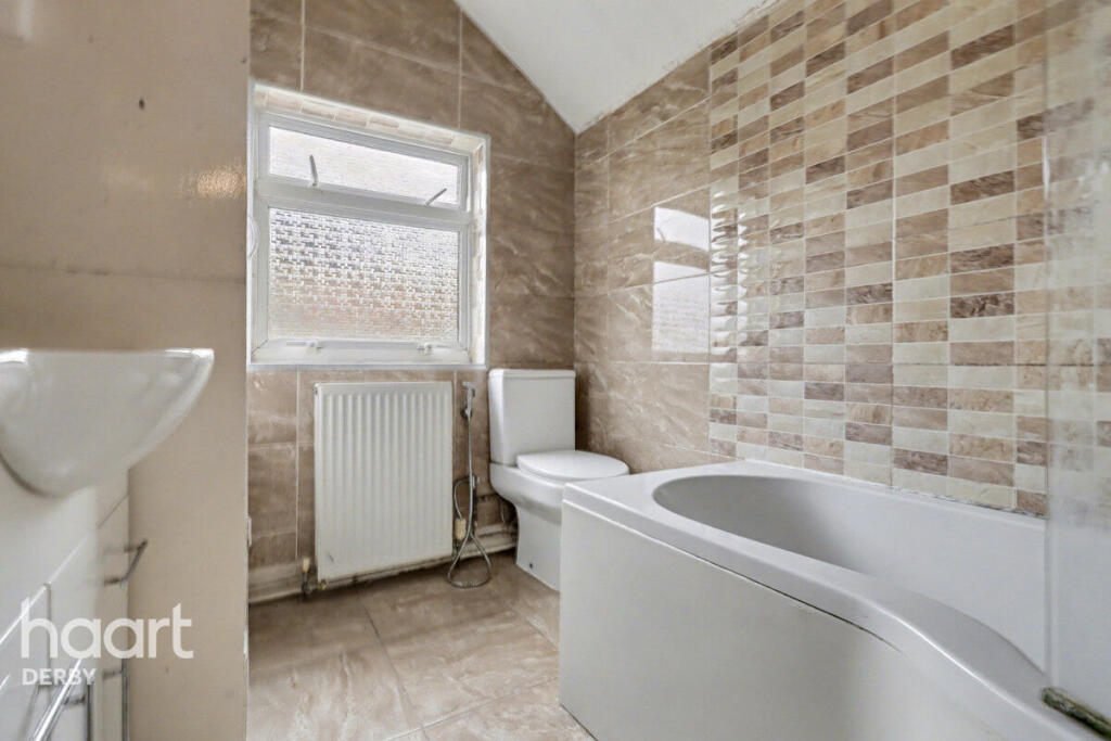
- Bathrooms
- 1
The heatmap indicates the level of crime in the area. The color of the heatmap indicates the crime severity and recency.
Metrics Year-on-Year
- Average area value
- 244,615.00 £Decreased by 9.46 %
- Average area rental value
- 854.00 £/moDecreased by 1.50 %
- Est rental Yield
- 4.19 %Increased by 8.83 %
- Crime Rate
- 6.00 %Unchanged by 0.00 %
from 270,169.00 £
from 867.00 £/mo
from 3.85 %
from 6.00 %
Agent Activity
haart created the listing.
Nearby Schools
| Name | Type | Ofsted | Distance |
|---|---|---|---|
| Hardwick Primary School | Academy Converter | 0.42 KM | |
| Dale Community Primary School | Community School | Good | 0.49 KM |
| Rosehill Children'S Centre | Children's Centre | 0.50 KM | |
| Walbrook Nursery School | Local Authority Nursery School | Outstanding | 0.53 KM |
| Stonehill Nursery School | Local Authority Nursery School | Good | 0.60 KM |
Images


Nearby Streets
| Name | Average Price | Average Sqft | Distance |
|---|---|---|---|
| Saint James Road | £ 215,000 | 0 | 0.00 KM |
| Cromwell Road | £ 0 | 0 | 0.00 KM |
| Joseph Street | £ 0 | 0 | 0.00 KM |
| Newlyn Drive | £ 250,000 | 0 | 0.00 KM |
| Overdale Road | £ 350,000 | 0 | 0.00 KM |
Nearby Transport
| Name | NLC | TLC | Distance |
|---|---|---|---|
| Peartree | 1687 | PEA | 1.49 KM |
| Derby | 1823 | DBY | 2.54 KM |
| Spondon | 1699 | SPO | 8.04 KM |
| Duffield | 1691 | DFI | 9.21 KM |
Nearby Listings
| Address | Price | Type | Score | Distance |
|---|---|---|---|---|
| Scott Street, Derby | £ 850 | RENT | Unknown | 0.00 KM |
| Scott Street, Derby, Derbyshire | £ 795 | RENT | Unknown | 0.09 KM |
| Scott Street, Derby, DE23 8QT | £ 950 | RENT | Unknown | 0.11 KM |
| Upper Dale Road, Derby, DE23 | £ 625 | RENT | Unknown | 0.14 KM |
| 117 St James Road, Derby | £ 475 | RENT | Unknown | 0.20 KM |
Nearby Properties
| Address | Price | Distance |
|---|---|---|
| 138 Upper Dale Road | £ 18,760 | 0.06 KM |
| 45 Clarence Road | £ 10,000 | 0.08 KM |
| 17 Clarence Road | £ 56,000 | 0.08 KM |
| 21 Clarence Road | £ 70,000 | 0.08 KM |
| 47 Clarence Road | £ 135,000 | 0.08 KM |