
NI
S2 Kearsley Road - July 2025
By Nicholas Humphreys
£ 105
Nicholas Humphreys says ..
** Spacious 4 Bedroom House in S2 ** Ready for Students 2025/2026Academic Year ** Amazing Value **
- Bedrooms
- 4
- Bathrooms
- 2
The heatmap indicates the level of crime in the area. The color of the heatmap indicates the crime severity and recency.
Metrics Year-on-Year
- Average area value
- 346,111.00 £Increased by 11.69 %
- Average area rental value
- 1,172.00 £/moIncreased by 24.95 %
- Est rental Yield
- 4.06 %Increased by 11.85 %
- Crime Rate
- 8.00 %Unchanged by 0.00 %
from 309,882.00 £
from 938.00 £/mo
from 3.63 %
from 8.00 %
Agent Activity
Nicholas Humphreys created the listing.
Nearby Schools
| Name | Type | Ofsted | Distance |
|---|---|---|---|
| Sharrow Children'S Centre | Children's Centre | 0.15 KM | |
| Sharrow Nursery, Infant And Junior School | Foundation School | Good | 0.34 KM |
| Lowfield Community Primary School | Community School | Good | 0.41 KM |
| Anns Grove Primary School | Community School | Good | 0.89 KM |
| Utc Sheffield City Centre | University Technical College | Good | 1.04 KM |
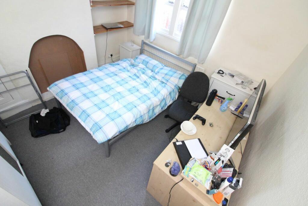
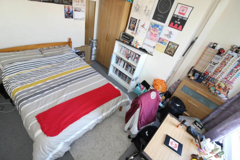
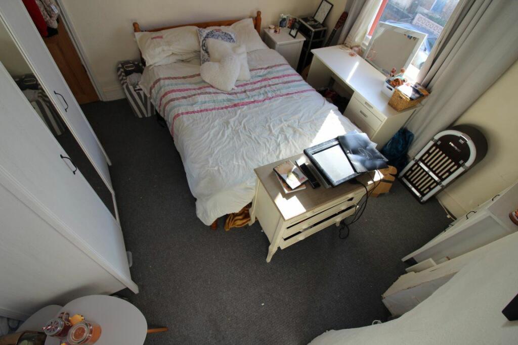
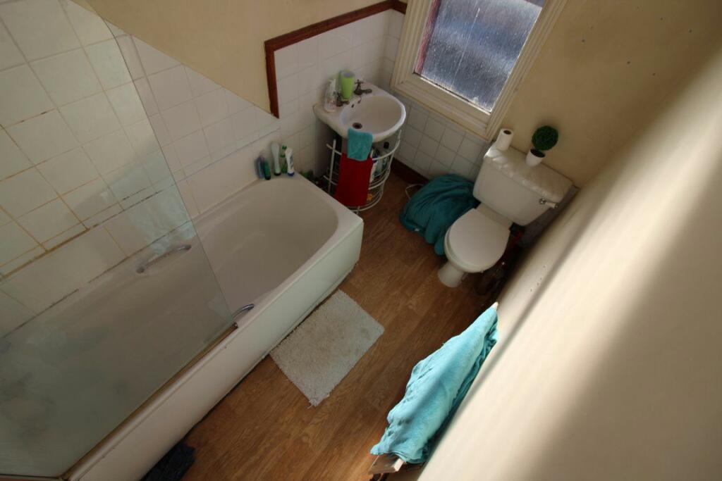
Images


Nearby Streets
| Name | Average Price | Average Sqft | Distance |
|---|---|---|---|
| Harwood Close | £ 0 | 0 | 0.00 KM |
| Bramall Court | £ 0 | 0 | 0.00 KM |
| John Street | £ 0 | 0 | 0.00 KM |
| Bennett Street | £ 0 | 0 | 0.00 KM |
| Bramall Lane | £ 0 | 0 | 0.00 KM |
Nearby Transport
| Name | NLC | TLC | Distance |
|---|---|---|---|
| Sheffield | 6691 | SHF | 1.76 KM |
| Dore And Totley | 6690 | DOR | 6.38 KM |
| Darnall | 6729 | DAN | 7.04 KM |
| Dronfield | 6616 | DRO | 7.39 KM |
| Meadowhall | 6663 | MHS | 8.74 KM |
Nearby Listings
| Address | Price | Type | Score | Distance |
|---|---|---|---|---|
| S2 Kearsley Road - July 2025 | £ 105 | RENT | Unknown | 0.00 KM |
| St. Barnabas Road, Sheffield | £ 89 | RENT | Unknown | 0.06 KM |
| St. Barnabas Road, Sheffield | £ 104 | RENT | Unknown | 0.06 KM |
| Alderson Road, Sheffield, S2 4UD | £ 1,000 | RENT | Unknown | 0.07 KM |
| Alderson Road, Highfield, Sheffield, S2 4UD | £ 1,150 | RENT | Unknown | 0.07 KM |
Nearby Properties
| Address | Price | Distance |
|---|---|---|
| 29 Kearsley Road | £ 210,000 | 0.05 KM |
| 17 Kearsley Road | £ 136,500 | 0.05 KM |
| 11 Kearsley Road | £ 37,950 | 0.05 KM |
| 24 Kearsley Road | £ 170,000 | 0.05 KM |
| 42 Kearsley Road | £ 144,000 | 0.05 KM |