WH
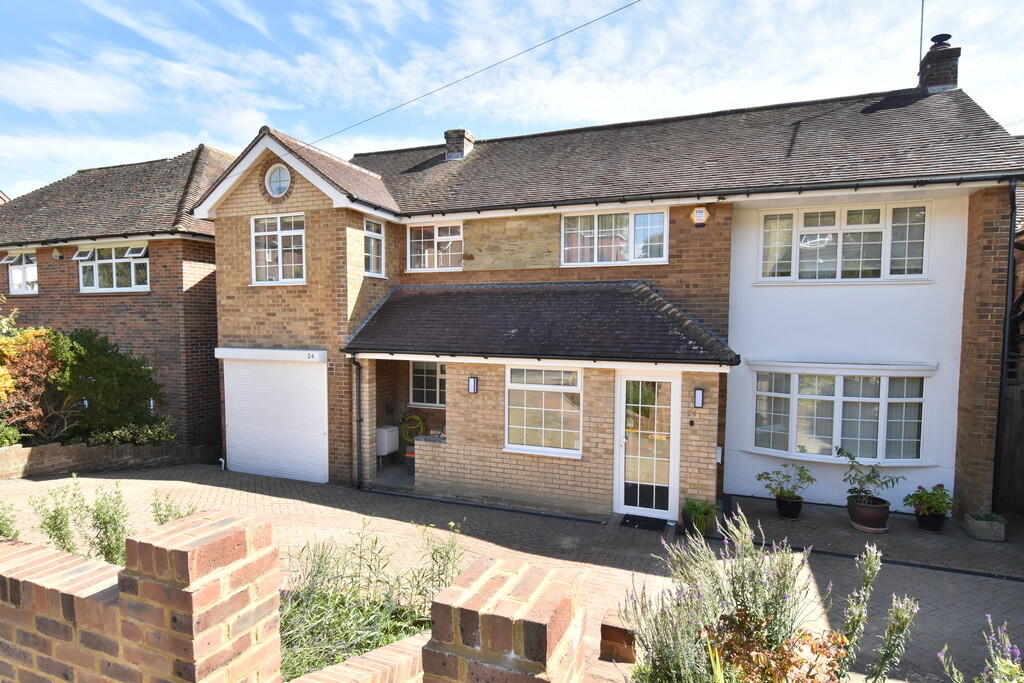
Gorham Avenue, Rottingdean
By Whitlock and Heaps
£ 3,950
Whitlock and Heaps says ..
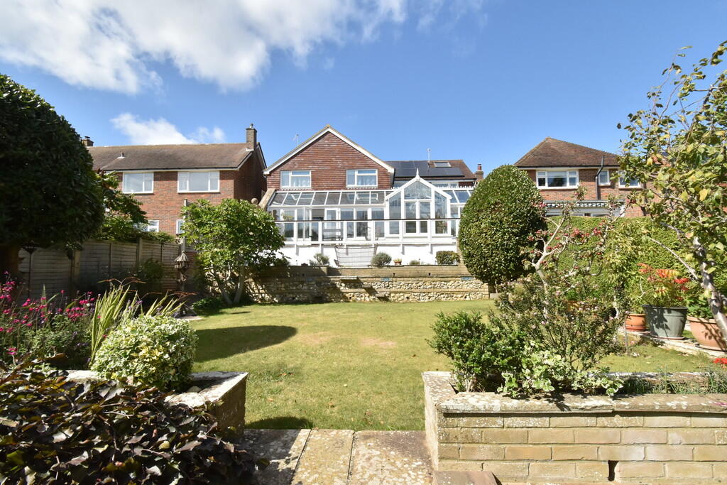
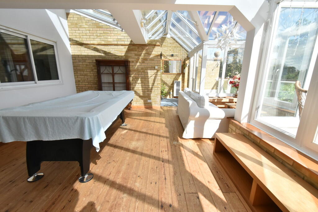
This delightful detached family home is bought to market
- Bedrooms
- 5
- Bathrooms
- 3
The heatmap indicates the level of crime in the area. The color of the heatmap indicates the crime severity and recency.
Metrics Year-on-Year
- Average area value
- 921,190.00 £Increased by 26.85 %
- Average area rental value
- 2,191.00 £/moIncreased by 17.80 %
- Est rental Yield
- 2.85 %Decreased by 7.17 %
- Crime Rate
- 0.00 %
from 726,212.00 £
from 1,860.00 £/mo
from 3.07 %
from 0.00 %
Agent Activity
Whitlock and Heaps created the listing.
Nearby Schools
| Name | Type | Ofsted | Distance |
|---|---|---|---|
| St Margaret'S Cofe Primary School, Rottingdean | Voluntary Aided School | Good | 0.42 KM |
| Our Lady Of Lourdes Rc School | Voluntary Aided School | Good | 0.77 KM |
| Saltdean Primary School | Community School | Good | 1.51 KM |
| Longhill High School | Community School | Good | 1.85 KM |
| Rudyard Kipling Primary School & Nursery | Community School | Good | 2.73 KM |
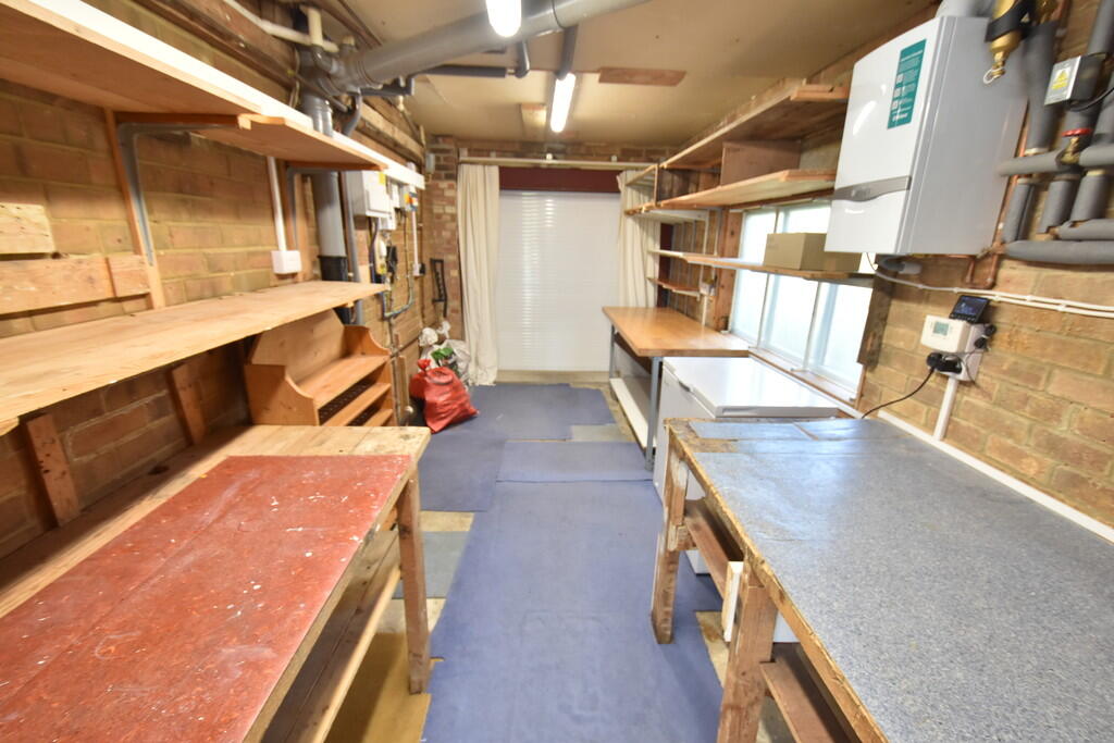
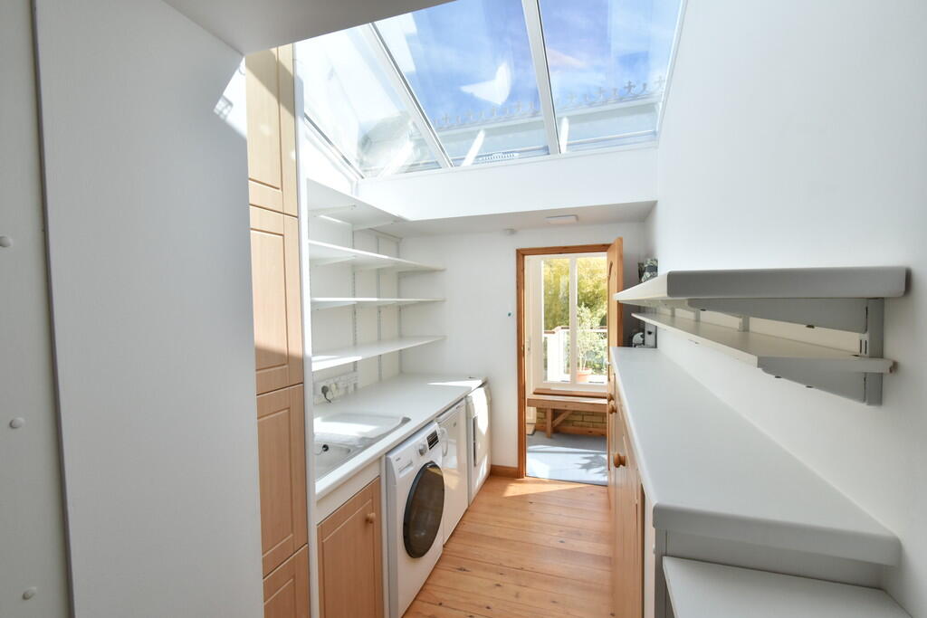
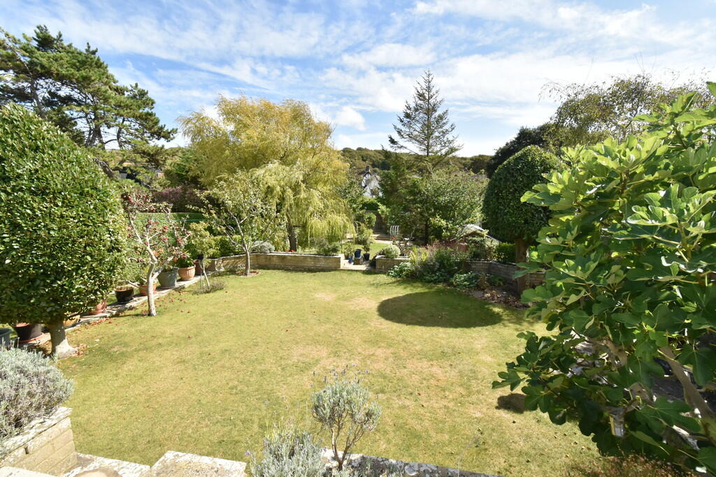
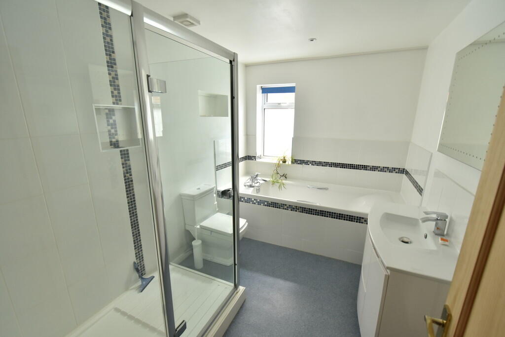
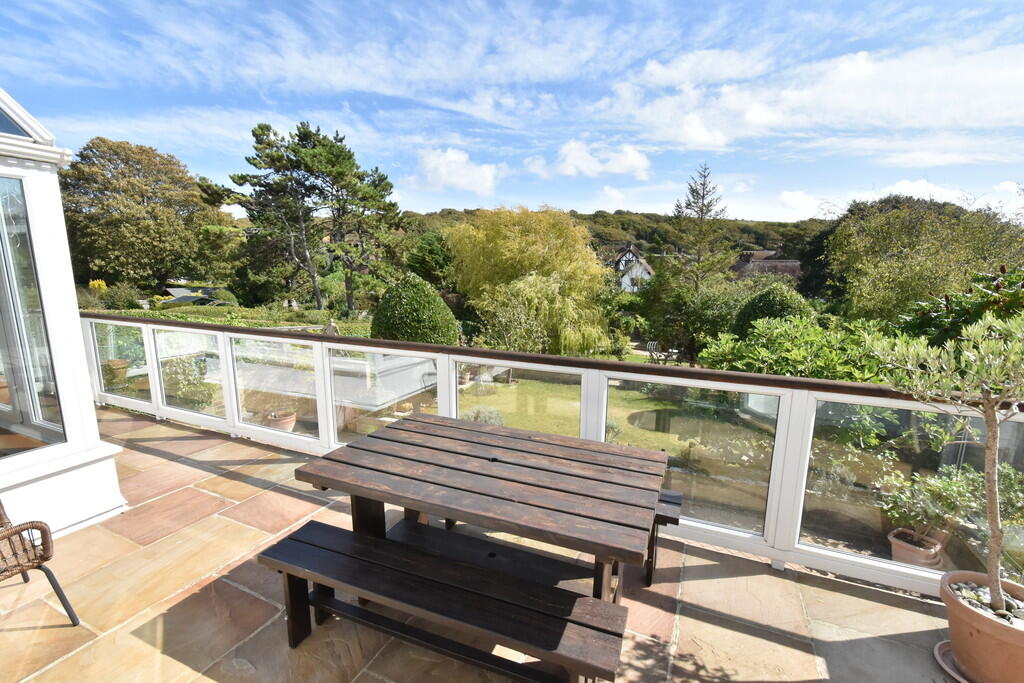
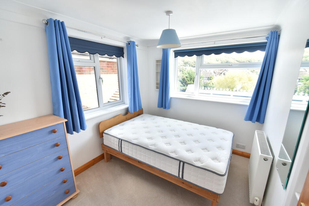
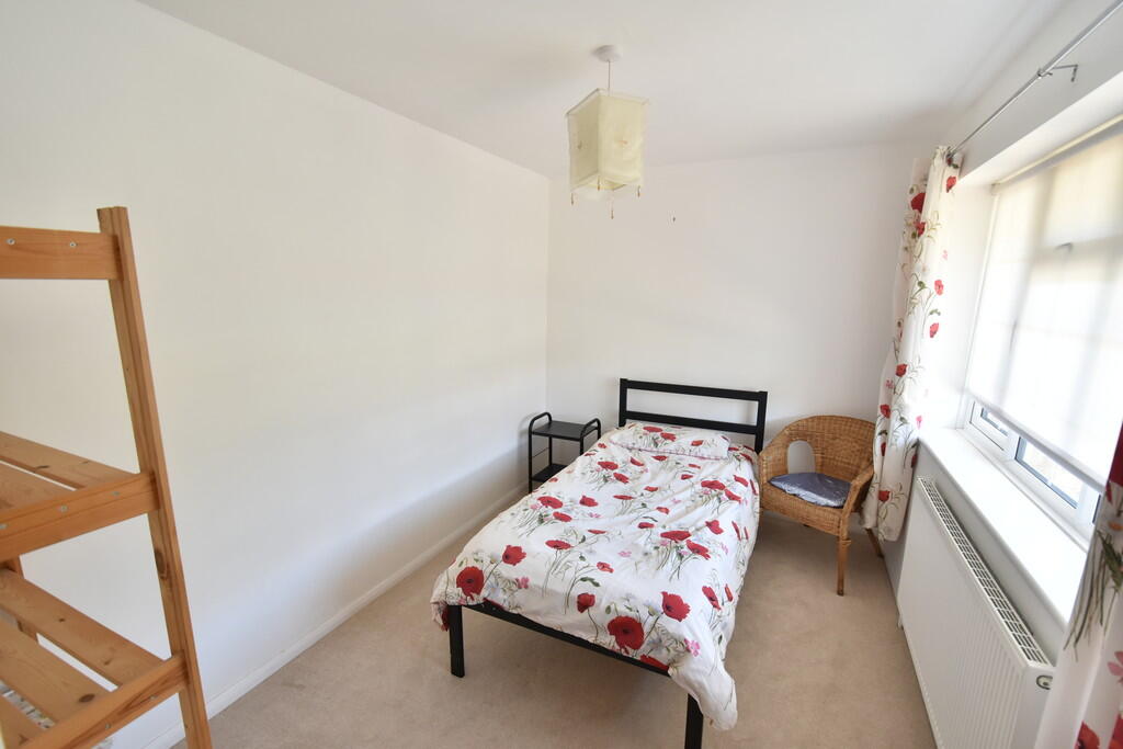
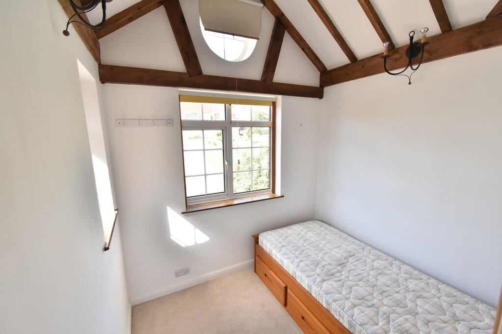
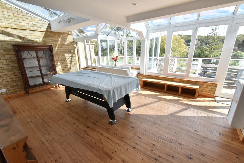
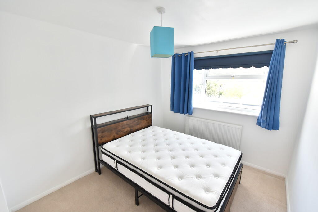
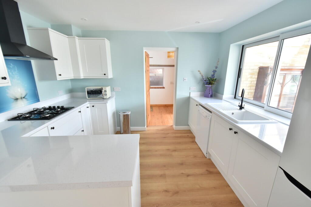
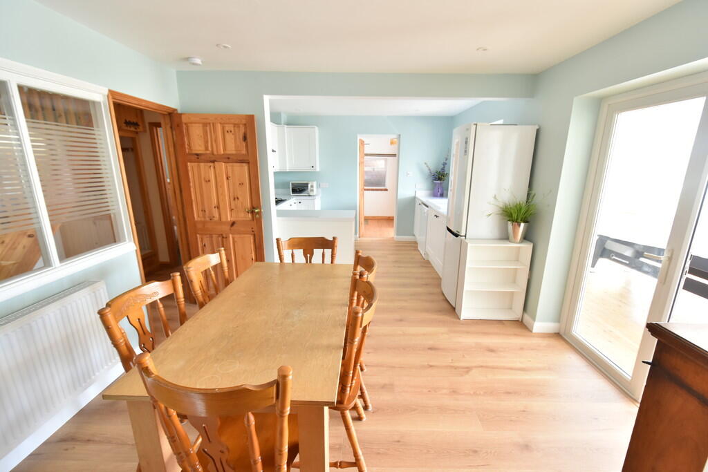
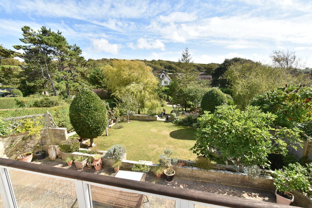
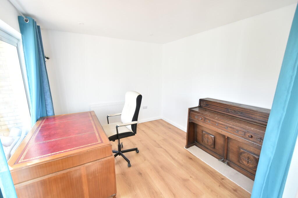
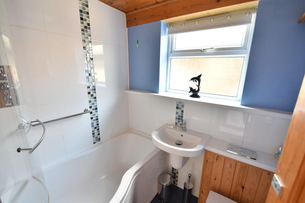
Images


Nearby Streets
| Name | Average Price | Average Sqft | Distance |
|---|---|---|---|
| Lustrells Road | £ 799,500 | 0 | 0.00 KM |
| Nickolson Place | £ 0 | 0 | 0.00 KM |
| Saint Aubyns Mead | £ 0 | 0 | 0.00 KM |
| Vicarage Lane | £ 0 | 0 | 0.00 KM |
| Sheep Walk | £ 0 | 0 | 0.00 KM |
Nearby Transport
| Name | NLC | TLC | Distance |
|---|---|---|---|
| Falmer | 5337 | FMR | 6.96 KM |
| Moulsecoomb | 5312 | MCB | 8.32 KM |
| Southease | 5339 | SEE | 9.63 KM |
| London Road (Brighton) | 5281 | LRB | 9.65 KM |
| Lewes | 5329 | LWS | 9.90 KM |
Nearby Listings
| Address | Price | Type | Score | Distance |
|---|---|---|---|---|
| Gorham Avenue, Rottingdean | £ 3,950 | RENT | Unknown | 0.00 KM |
| Gorham Avenue, Rottingdean, Brighton | £ 4,500 | RENT | Unknown | 0.01 KM |
| Bazehill Road, Rottingdean, Brighton, East Sussex, BN2 | £ 1,850 | RENT | Unknown | 0.25 KM |
| Dean Court Road, Rottingdean, Brighton | £ 1,500 | RENT | Unknown | 0.41 KM |
| Bazehill Road, Rottingdean | £ 4,250 | RENT | Unknown | 0.41 KM |
Nearby Properties
| Address | Price | Distance |
|---|---|---|
| 26 Gorham Avenue | £ 827,612 | 0.00 KM |
| 9 Gorham Avenue | £ 632,500 | 0.00 KM |
| 27 Gorham Avenue | £ 554,000 | 0.00 KM |
| 44 Gorham Avenue | £ 1,025,000 | 0.00 KM |
| 24 Gorham Avenue | £ 610,000 | 0.00 KM |