HA
Chapel Road, BRISTOL
By haart
£ 1,600
haart says ..
**NO DEPOSIT OPTION AVAILABLE**
- Bedrooms
- 3
- Bathrooms
- 1
The heatmap indicates the level of crime in the area. The color of the heatmap indicates the crime severity and recency.
Metrics Year-on-Year
- Average area value
- 505,125.00 £Increased by 36.80 %
- Average area rental value
- 1,447.00 £/moDecreased by 20.23 %
- Est rental Yield
- 3.44 %Decreased by 41.69 %
- Crime Rate
- 9.00 %Unchanged by 0.00 %
from 369,235.00 £
from 1,814.00 £/mo
from 5.90 %
from 9.00 %
Agent Activity
haart created the listing.
Nearby Schools
| Name | Type | Ofsted | Distance |
|---|---|---|---|
| Bannerman Road Community Academy | Academy Sponsor Led | Requires improvement | 0.44 KM |
| Bannerman Road Children'S Centre | Children's Centre | 0.63 KM | |
| May Park Primary School | Academy Sponsor Led | 0.80 KM | |
| The City Academy Bristol | Academy Sponsor Led | Good | 0.86 KM |
| The Limes Nursery School & Children'S Centre | Children's Centre | 0.94 KM |
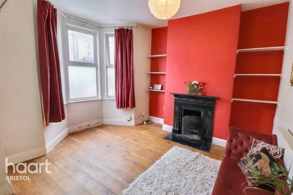
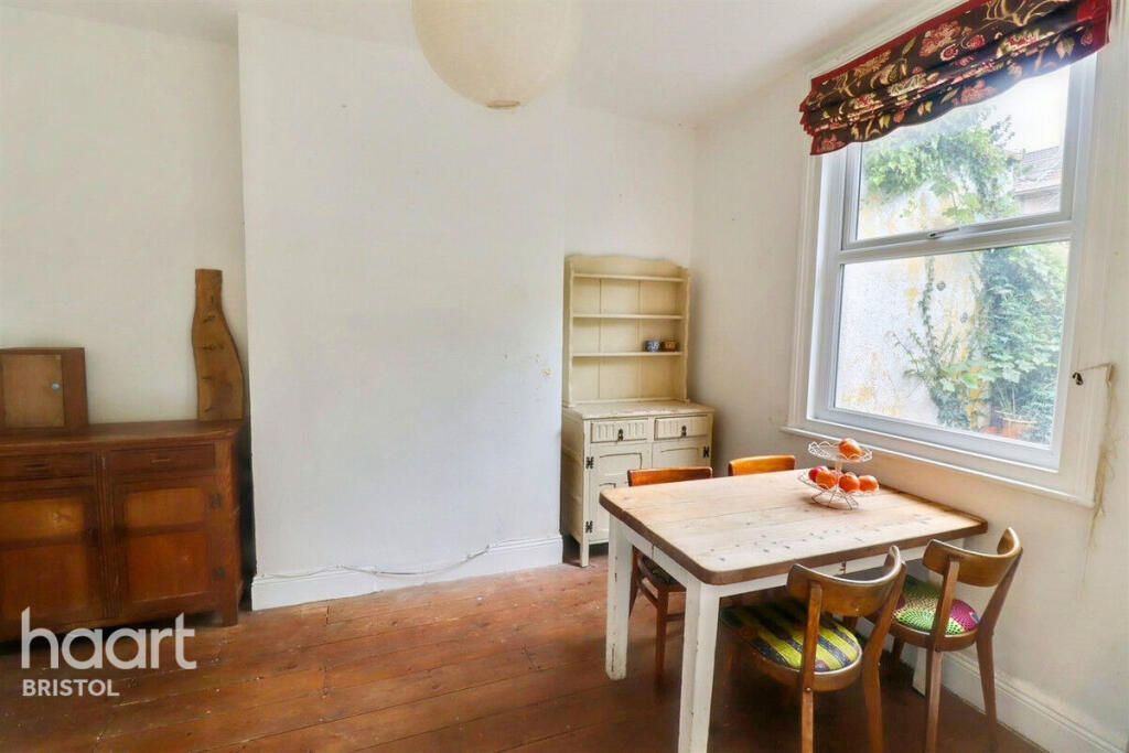
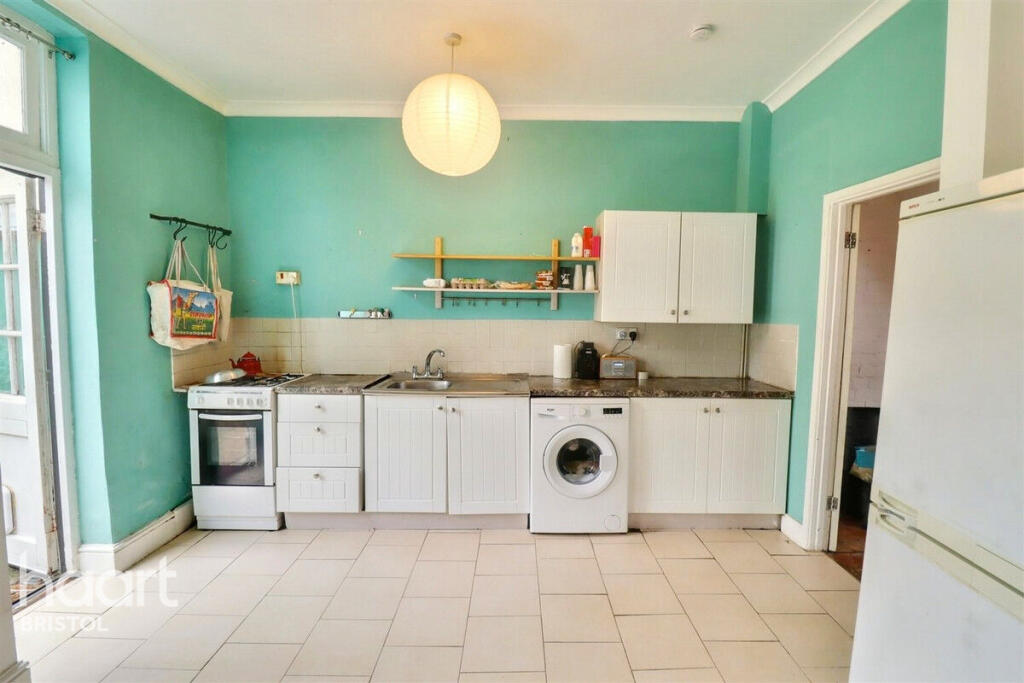
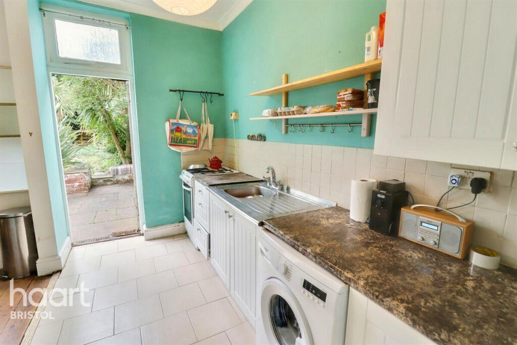
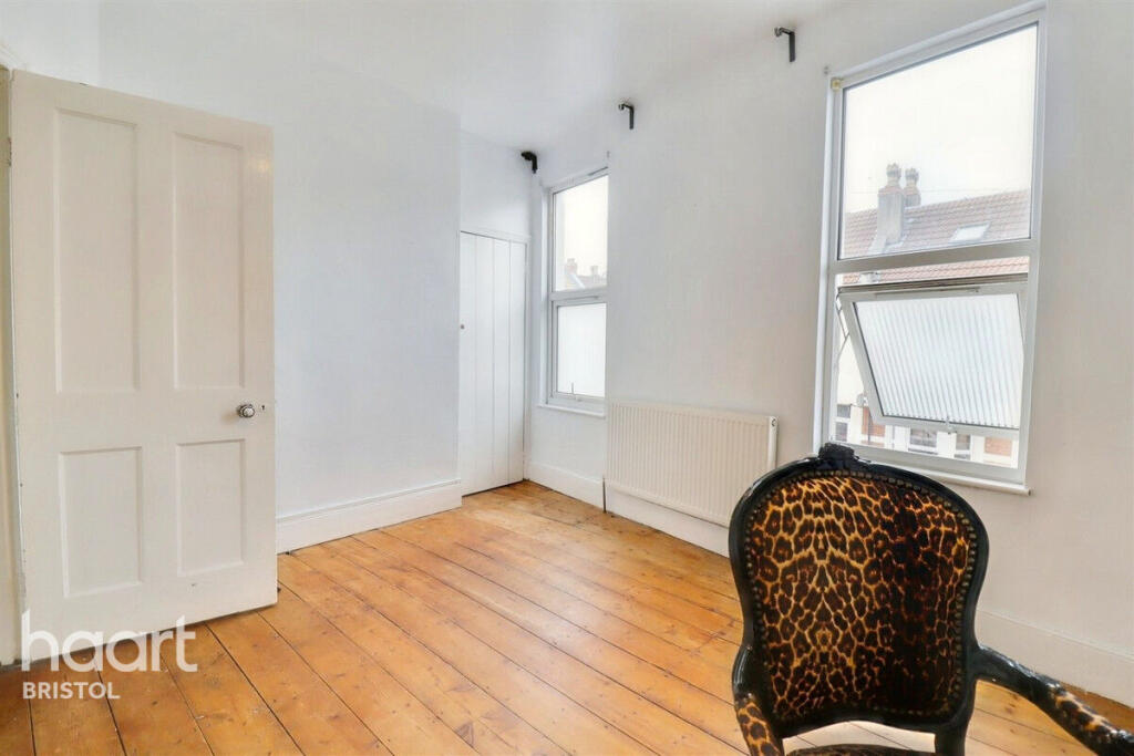
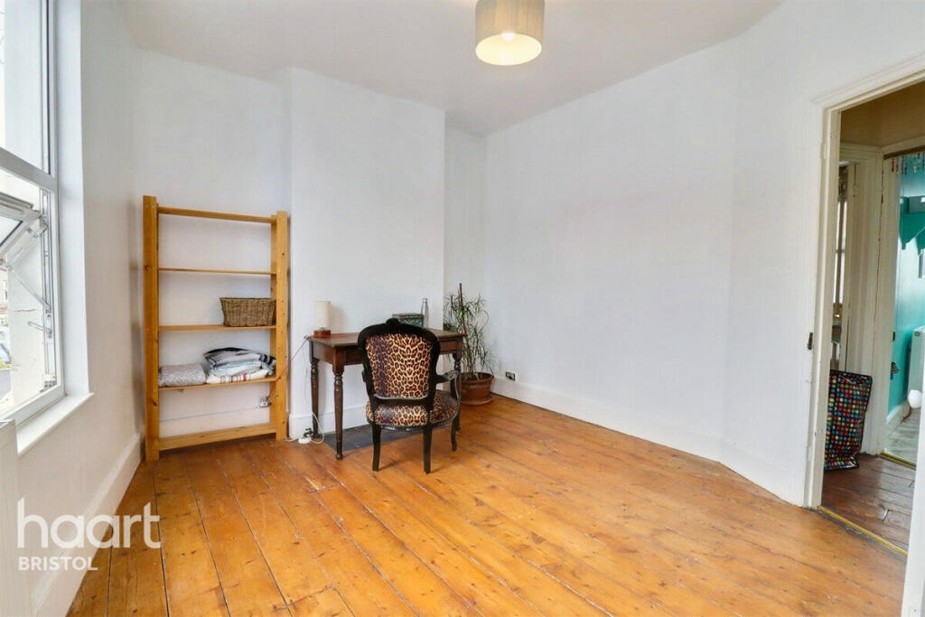
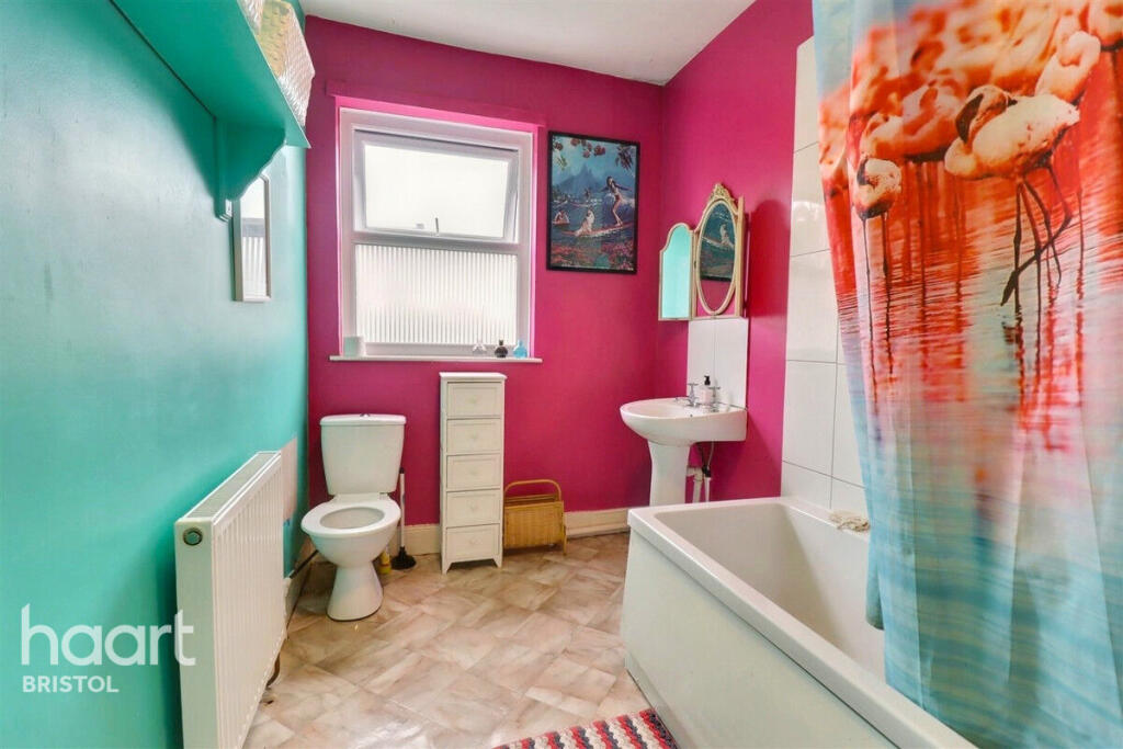
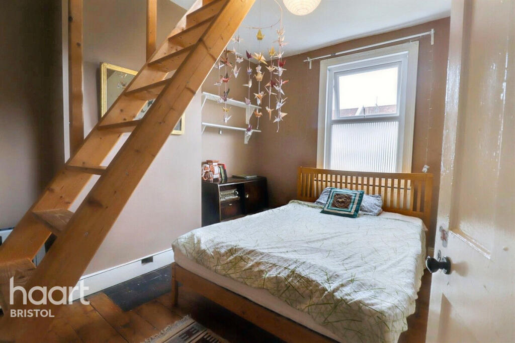
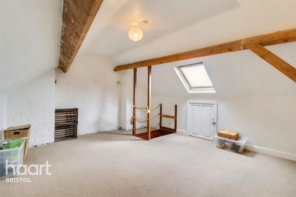
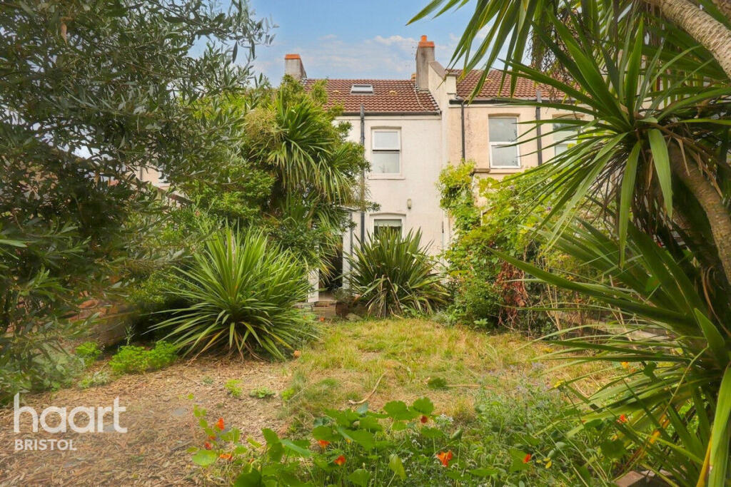
Images
Nearby Streets
| Name | Average Price | Average Sqft | Distance |
|---|---|---|---|
| Chapel Road | £ 0 | 0 | 0.00 KM |
| Cato Street | £ 425,000 | 0 | 0.00 KM |
| Roman Road | £ 345,000 | 0 | 0.00 KM |
| Kingsley Road | £ 250,000 | 0 | 0.00 KM |
| Sandy Lane | £ 0 | 0 | 0.00 KM |
Nearby Transport
| Name | NLC | TLC | Distance |
|---|---|---|---|
| Stapleton Road | 3250 | SRD | 0.29 KM |
| Lawrence Hill | 3225 | LWH | 1.08 KM |
| Montpelier | 3203 | MTP | 2.77 KM |
| Bristol Temple Meads | 3231 | BRI | 2.85 KM |
| Redland | 3247 | RDA | 3.93 KM |
Nearby Listings
| Address | Price | Type | Score | Distance |
|---|---|---|---|---|
| Chapel Road, BRISTOL | £ 1,600 | RENT | Unknown | 0.00 KM |
| Greenbank Avenue West, Easton, Bristol | £ 1,650 | RENT | Unknown | 0.11 KM |
| Greenbank Avenue West, Bristol | £ 2,300 | RENT | Unknown | 0.12 KM |
| 112A Saint Marks Road, Bristol, BS5 | £ 650 | RENT | Unknown | 0.14 KM |
| 112A Saint Marks Road, Bristol, BS5 | £ 1,300 | RENT | Unknown | 0.14 KM |
Nearby Properties
| Address | Price | Distance |
|---|---|---|
| 1 Church Avenue | £ 280,000 | 0.02 KM |
| 14 Church Avenue | £ 441,000 | 0.02 KM |
| 25 Church Avenue | £ 170,000 | 0.02 KM |
| 12 Church Avenue | £ 350,000 | 0.02 KM |
| 15 Church Avenue | £ 382,500 | 0.02 KM |