NE
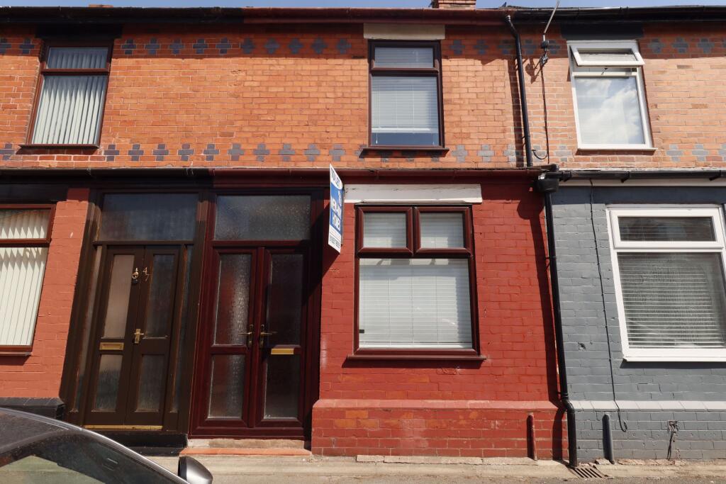
Grafton Street, Warrington
By New Way Homes
£ 825
New Way Homes says ..
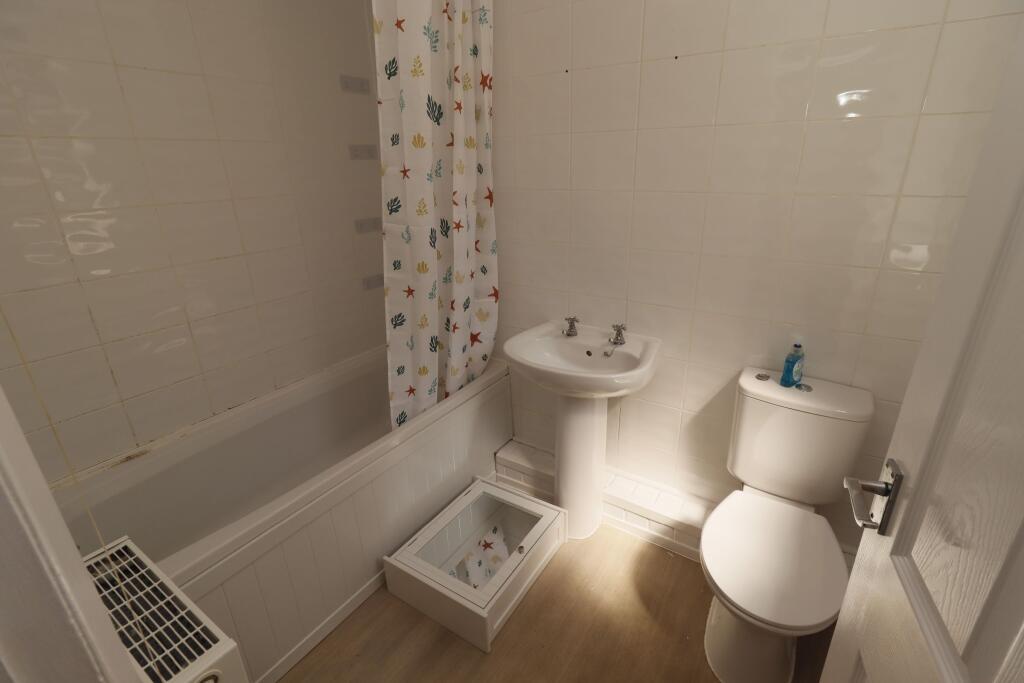
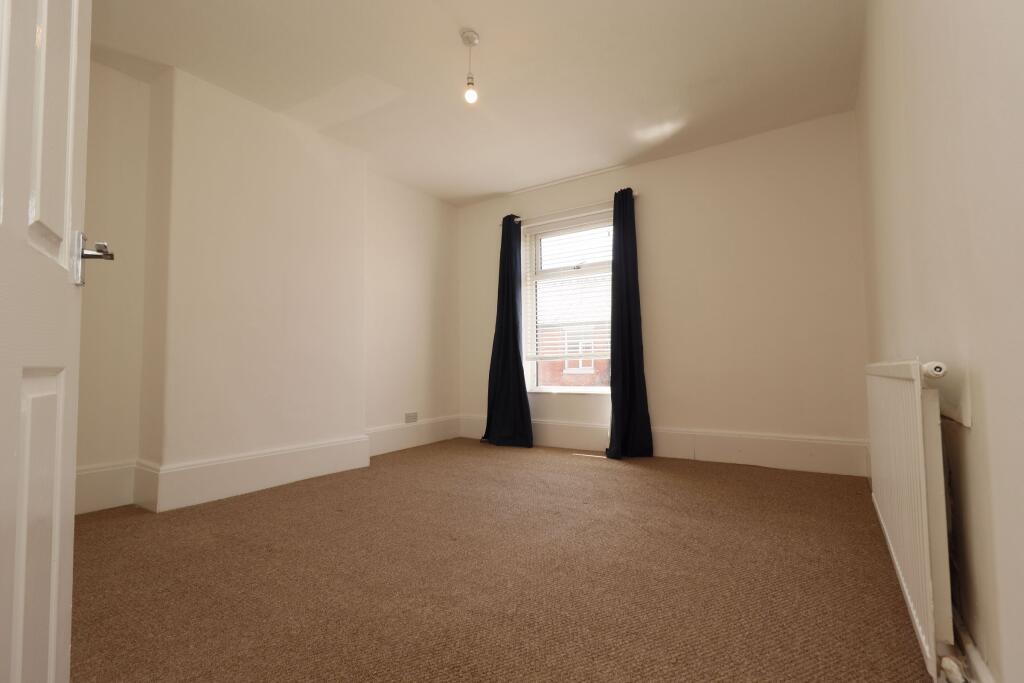
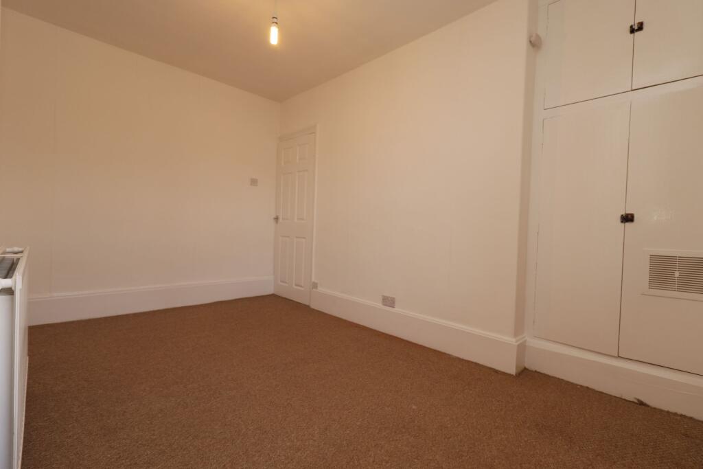
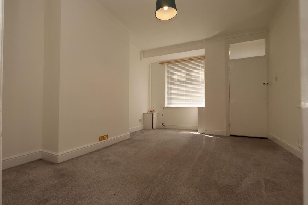
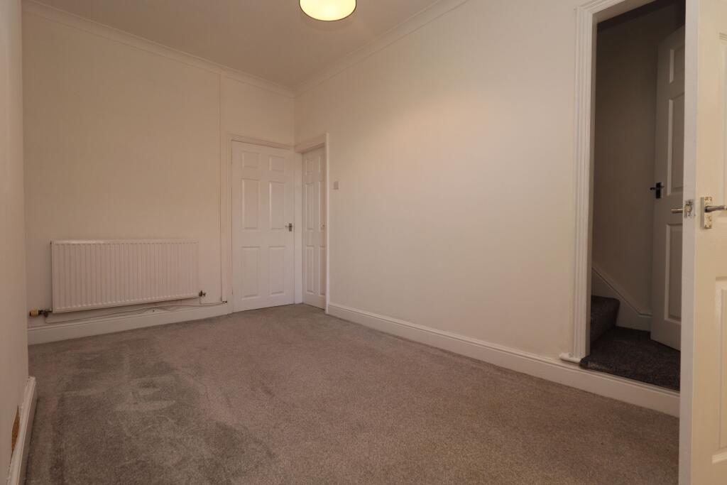
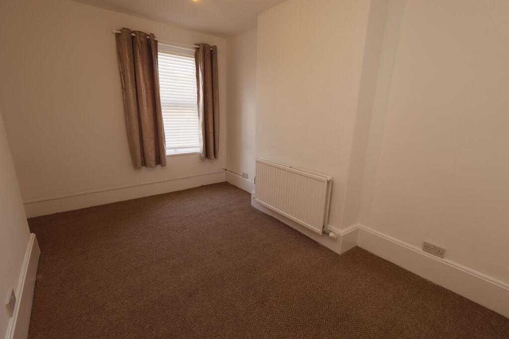
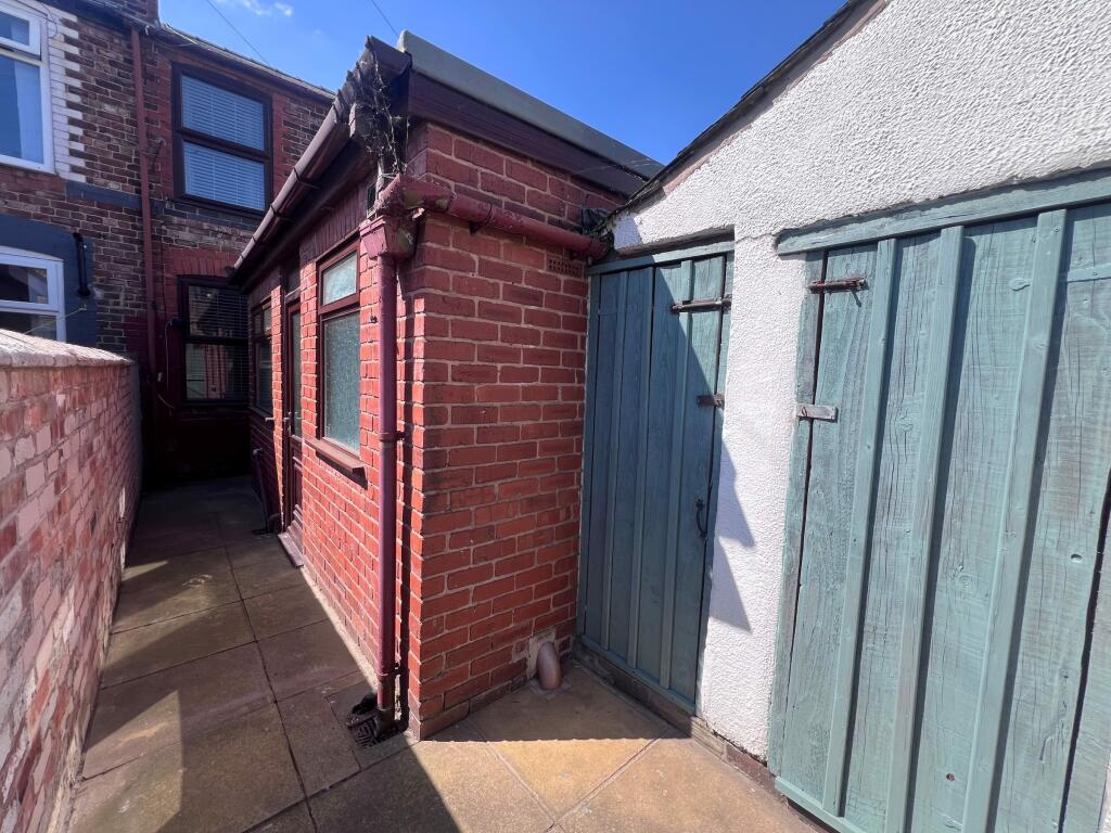
Two Bed Mid Terrace Property
- Bedrooms
- 2
- Bathrooms
- 1
The heatmap indicates the level of crime in the area. The color of the heatmap indicates the crime severity and recency.
Metrics Year-on-Year
- Average area value
- 192,108.00 £Increased by 3.14 %
- Average area rental value
- 833.00 £/moIncreased by 0.48 %
- Est rental Yield
- 5.20 %Decreased by 2.62 %
- Crime Rate
- 26.00 %Unchanged by 0.00 %
from 186,263.00 £
from 829.00 £/mo
from 5.34 %
from 26.00 %
Agent Activity
New Way Homes created the listing.
Nearby Schools
| Name | Type | Ofsted | Distance |
|---|---|---|---|
| Warrington Hospital Unit Co Wards B10-11 | Miscellaneous | 0.35 KM | |
| Bewsey Lodge Primary School | Community School | Good | 0.47 KM |
| Warrington St Barnabas Cofe Primary School | Voluntary Aided School | Good | 0.68 KM |
| Sacred Heart Catholic Primary School | Voluntary Aided School | Good | 0.75 KM |
| St Gregory'S Catholic High School | Voluntary Aided School | Good | 0.99 KM |
Images


Nearby Streets
| Name | Average Price | Average Sqft | Distance |
|---|---|---|---|
| Radnor Street | £ 0 | 0 | 0.00 KM |
| Windsor Street | £ 145,000 | 0 | 0.00 KM |
| Saint Barnabas Place | £ 149,990 | 0 | 0.00 KM |
| Percy Street | £ 129,500 | 0 | 0.00 KM |
| Leicester Street | £ 105,950 | 0 | 0.00 KM |
Nearby Transport
| Name | NLC | TLC | Distance |
|---|---|---|---|
| Warrington Bank Quay | 2384 | WBQ | 1.62 KM |
| Warrington Central | 2390 | WAC | 2.27 KM |
| Warrington West | 6583 | WAW | 2.74 KM |
| Sankey For Penketh | 2388 | SNK | 4.12 KM |
| Padgate | 2387 | PDG | 6.35 KM |
Nearby Listings
| Address | Price | Type | Score | Distance |
|---|---|---|---|---|
| Grafton Street, Warrington | £ 825 | RENT | Unknown | 0.00 KM |
| Grafton Street, Warrington, WA5 1QA | £ 575 | RENT | Unknown | 0.01 KM |
| Brighton Street, Warrington | £ 995 | RENT | Unknown | 0.04 KM |
| Brighton Street, Warrington WA5 1QE | £ 895 | RENT | Unknown | 0.05 KM |
| Brighton Street, Warrington, WA5 | £ 850 | RENT | Unknown | 0.06 KM |
Nearby Properties
| Address | Price | Distance |
|---|---|---|
| 86 Grafton Street | £ 86,000 | 0.01 KM |
| 50 Grafton Street | £ 80,000 | 0.01 KM |
| 88 Grafton Street | £ 70,000 | 0.01 KM |
| 63 Grafton Street | £ 75,000 | 0.01 KM |
| 93 Grafton Street | £ 128,000 | 0.01 KM |