
ST
Upper Station Road, Henfield
By Stevens
£ 599,995
Stevens says ..
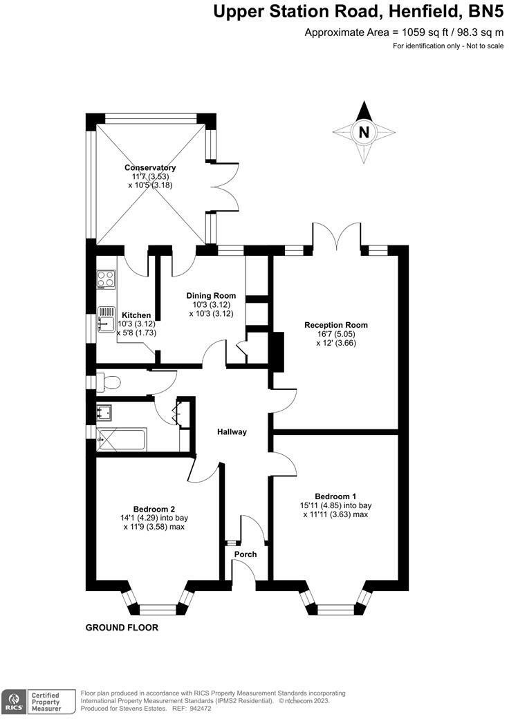
A Two Double Bedroom DETACHED BUNGALOW Situated on a QUARTER OF AN ACRE PLOT with DOUBLE GARAGE and PRIVATE DRIVEWAY and Close to Country Walks and Local Amenities.
- Bedrooms
- 2
- Bathrooms
- 1
The heatmap indicates the level of crime in the area. The color of the heatmap indicates the crime severity and recency.
Metrics Year-on-Year
- Average area value
- 500,000.00 £Decreased by 12.65 %
- Average area rental value
- 1,650.00 £/moIncreased by 13.40 %
- Est rental Yield
- 3.96 %Increased by 29.84 %
- Crime Rate
- 13.00 %Unchanged by 0.00 %
from 572,382.00 £
from 1,455.00 £/mo
from 3.05 %
from 13.00 %
Agent Activity
Stevens created the listing.
Nearby Schools
| Name | Type | Ofsted | Distance |
|---|---|---|---|
| St Peter'S Cofe Primary School | Voluntary Aided School | Good | 0.32 KM |
| Jolesfield Cofe Primary School | Voluntary Controlled School | Requires improvement | 4.06 KM |
| Ashurst Cofe Primary School | Voluntary Aided School | Good | 5.11 KM |
| Upper Beeding Primary School | Community School | Outstanding | 5.79 KM |
| St Peter'S Cofe (Aided) Primary School | Voluntary Aided School | Good | 6.39 KM |
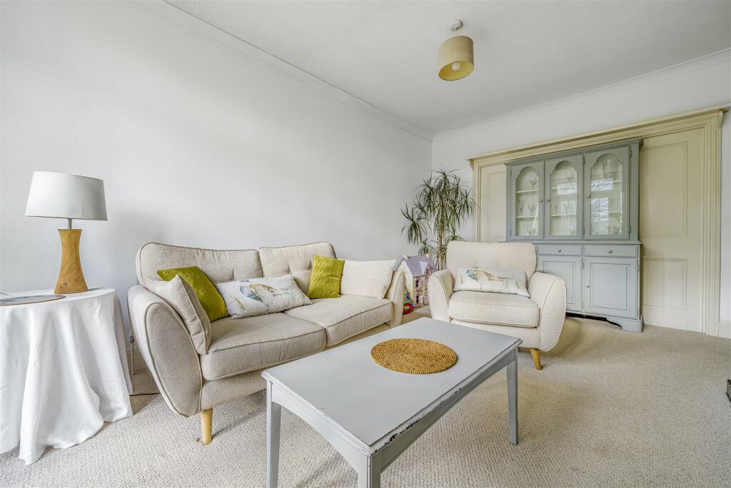
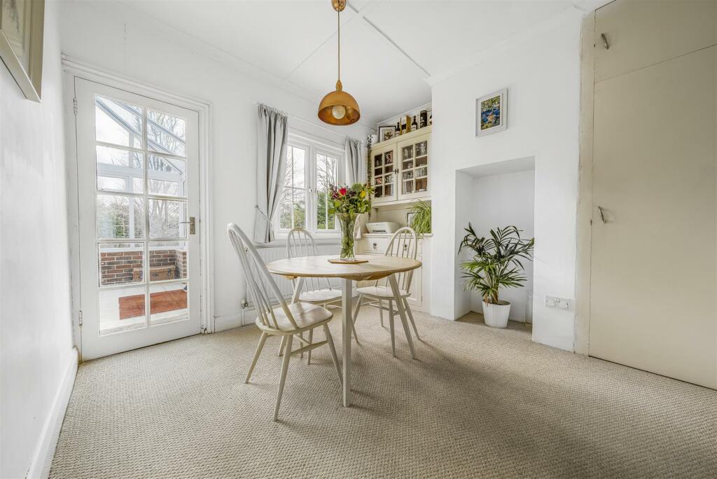
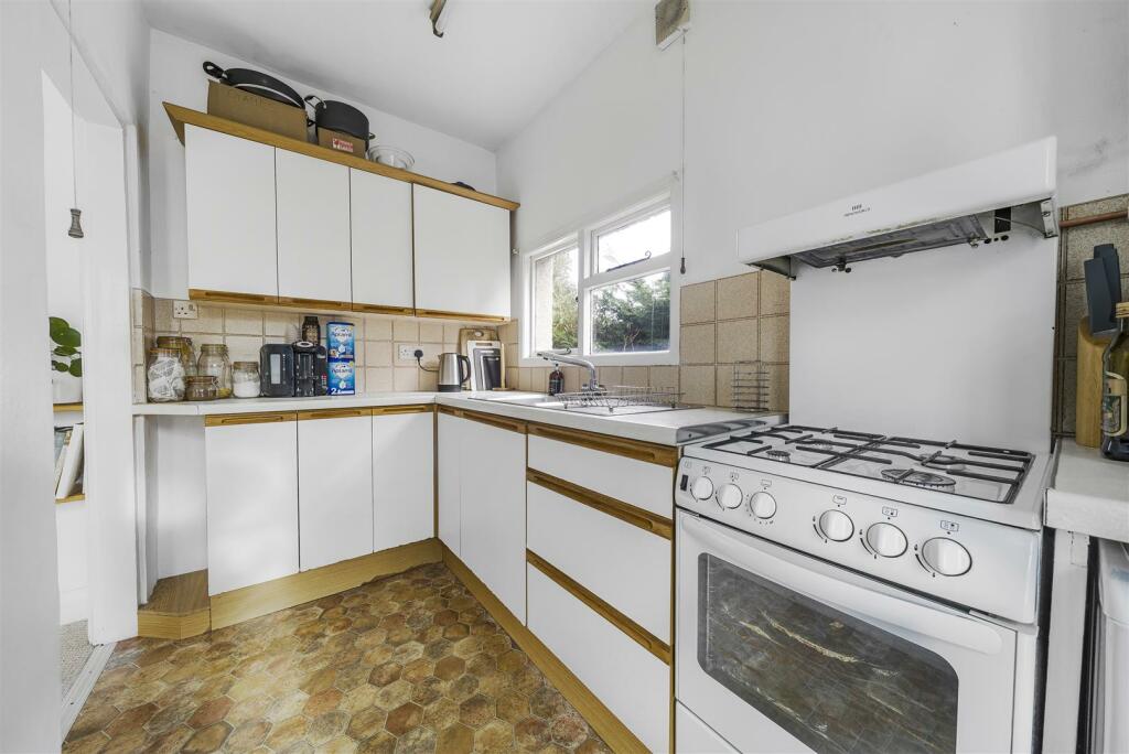
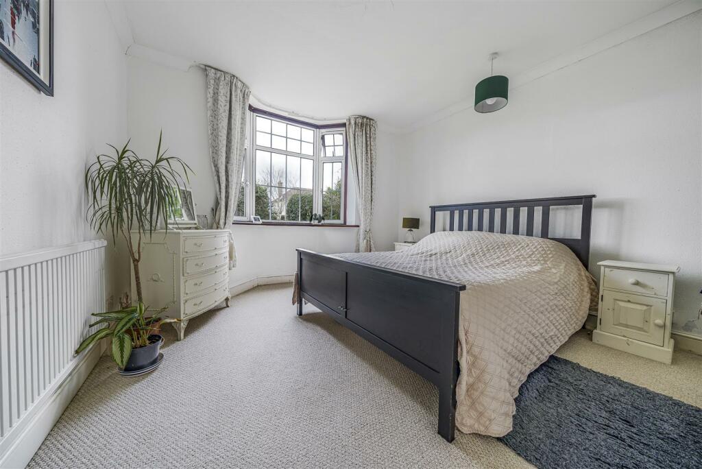
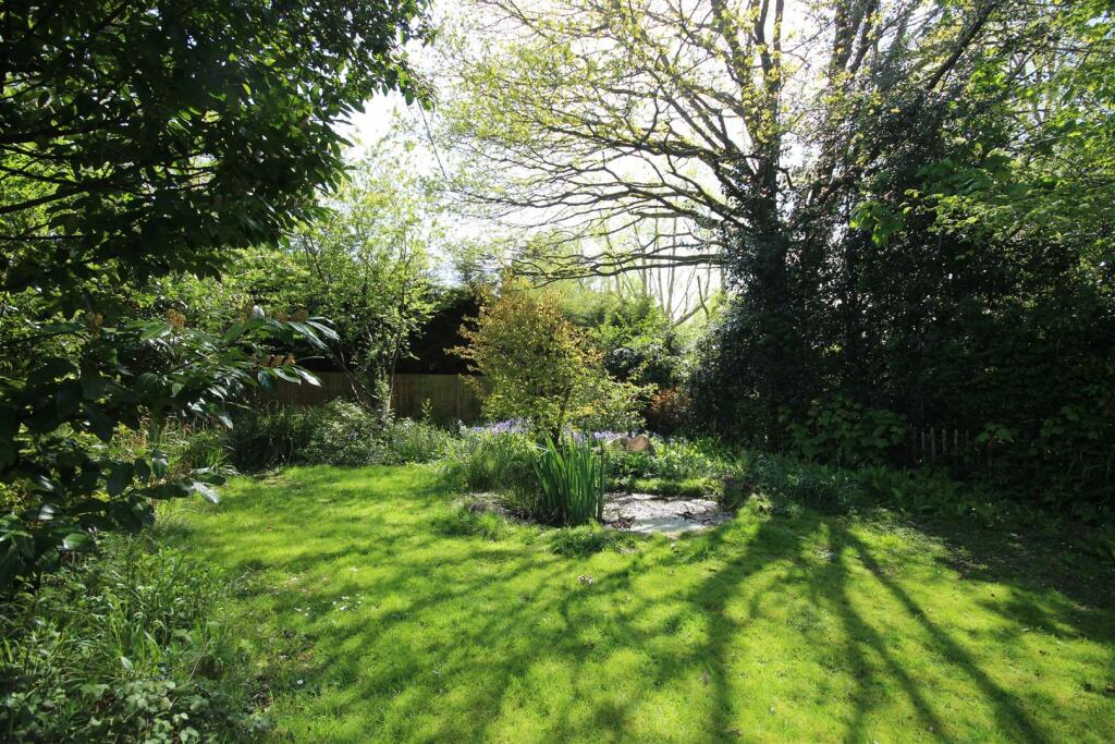
Images


Nearby Streets
| Name | Average Price | Average Sqft | Distance |
|---|---|---|---|
| Northcroft | £ 195,000 | 0 | 0.00 KM |
| Knowles Close | £ 0 | 0 | 0.00 KM |
| Croft Lane | £ 0 | 0 | 0.00 KM |
| Church Lane | £ 450,000 | 0 | 0.00 KM |
| Hudson Way | £ 0 | 0 | 0.00 KM |
Nearby Listings
| Address | Price | Type | Score | Distance |
|---|---|---|---|---|
| Flower Farm Close, Henfield | £ 500,000 | BUY | 7 / 10 | 0.12 KM |
| Flower Farm Close, Henfield | £ 515,000 | BUY | 7 / 10 | 0.14 KM |
| ***GUIDE PRICE £800,000 to £820,000*** Faircox Lane, Henfield | £ 800,000 | BUY | Unknown | 0.16 KM |
| Staples Barn, Henfield | £ 385,000 | BUY | Unknown | 0.18 KM |
| Faircox Lane, Henfield | £ 710,000 | BUY | 7 / 10 | 0.20 KM |
Nearby Properties
| Address | Price | Distance |
|---|---|---|
| New Hay | £ 425,000 | 0.03 KM |
| Bluebell House | £ 616,015 | 0.03 KM |
| Downview | £ 489,000 | 0.03 KM |
| Poplars | £ 650,000 | 0.03 KM |
| Yew Trees | £ 480,000 | 0.03 KM |