
DA
Hermon Hill, SOUTH WOODFORD, E18
By DABORACONWAY
£ 1,450
DABORACONWAY says ..
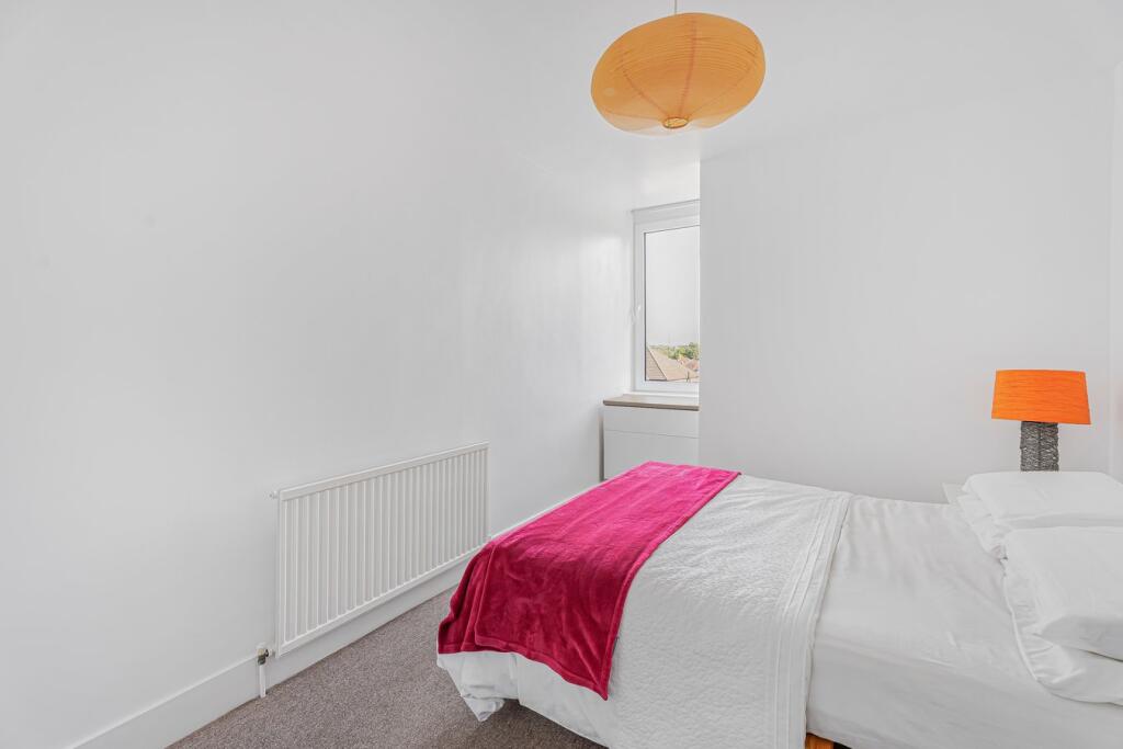
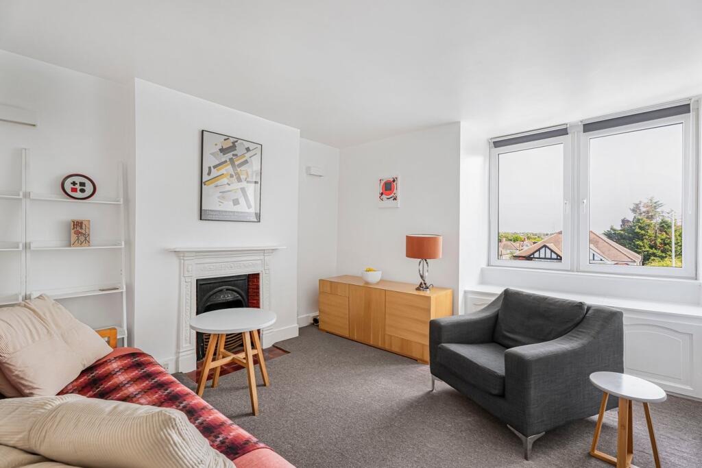
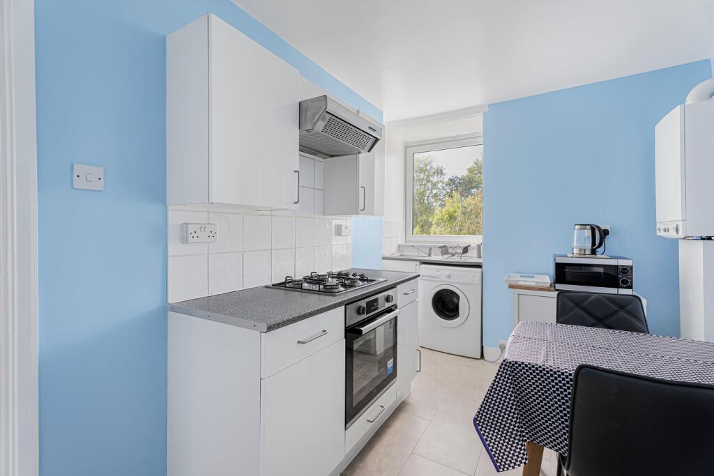
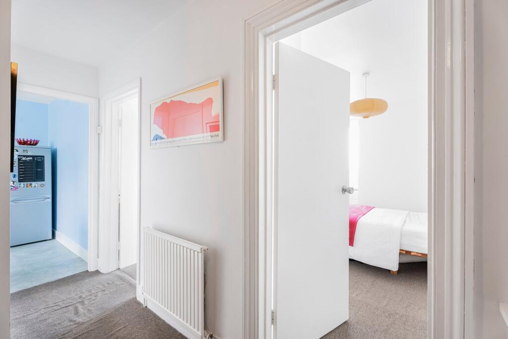
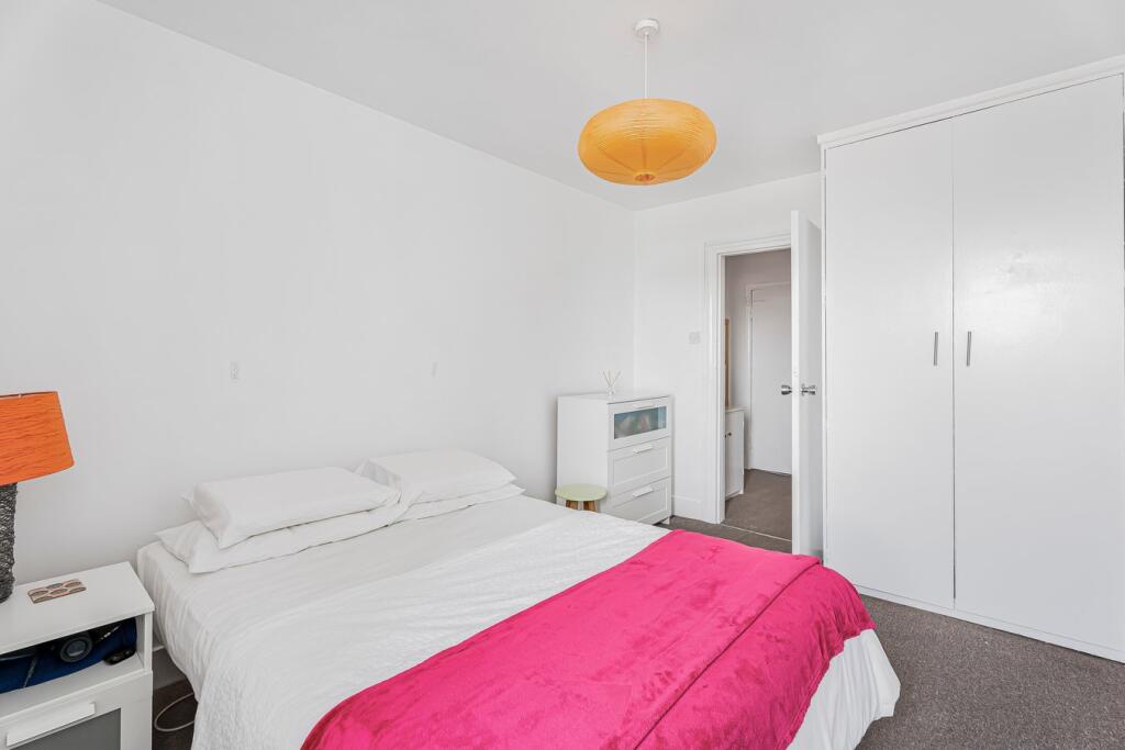
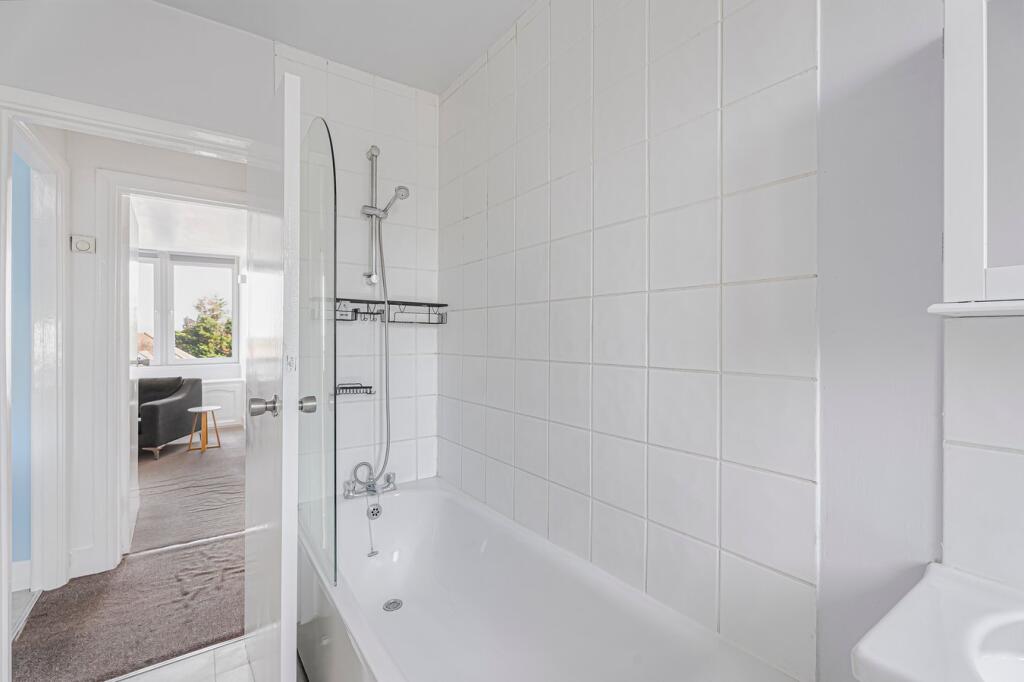
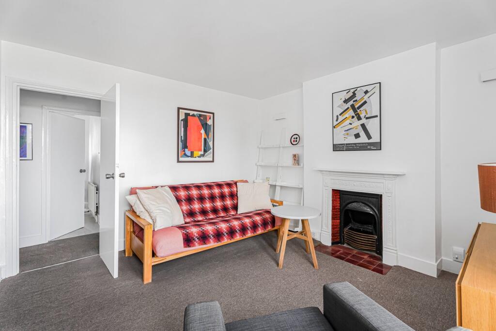
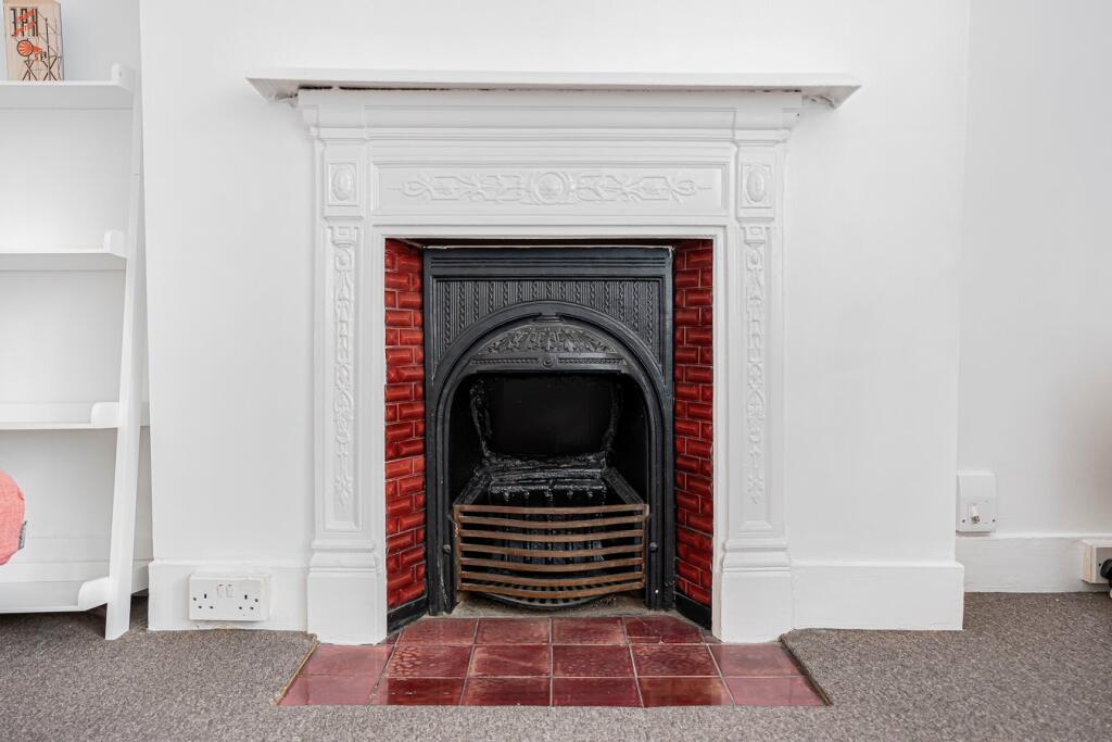
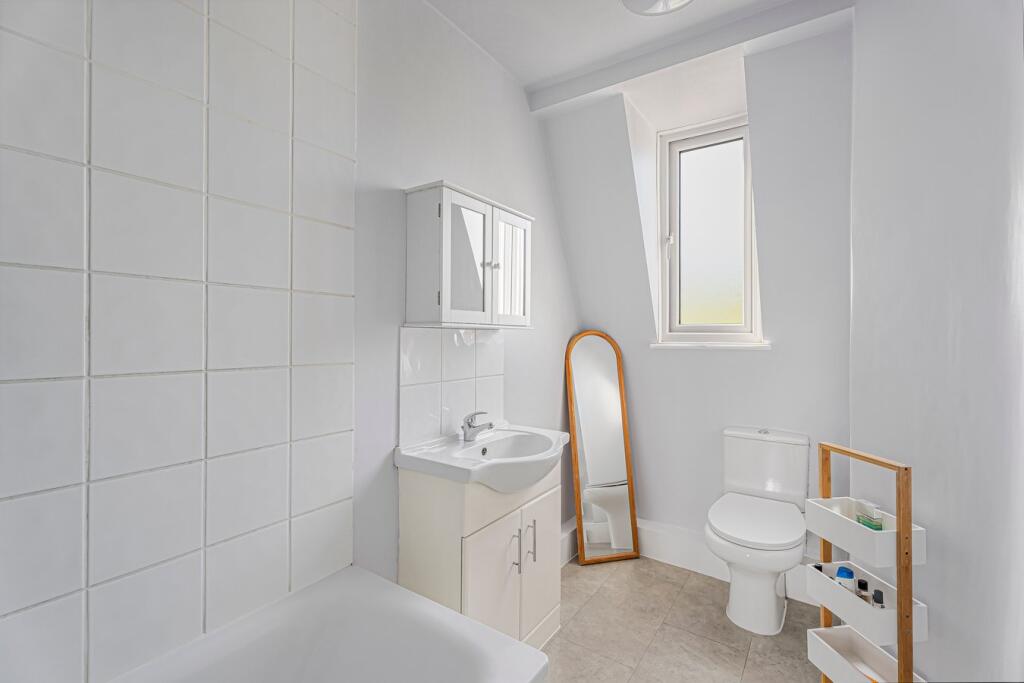
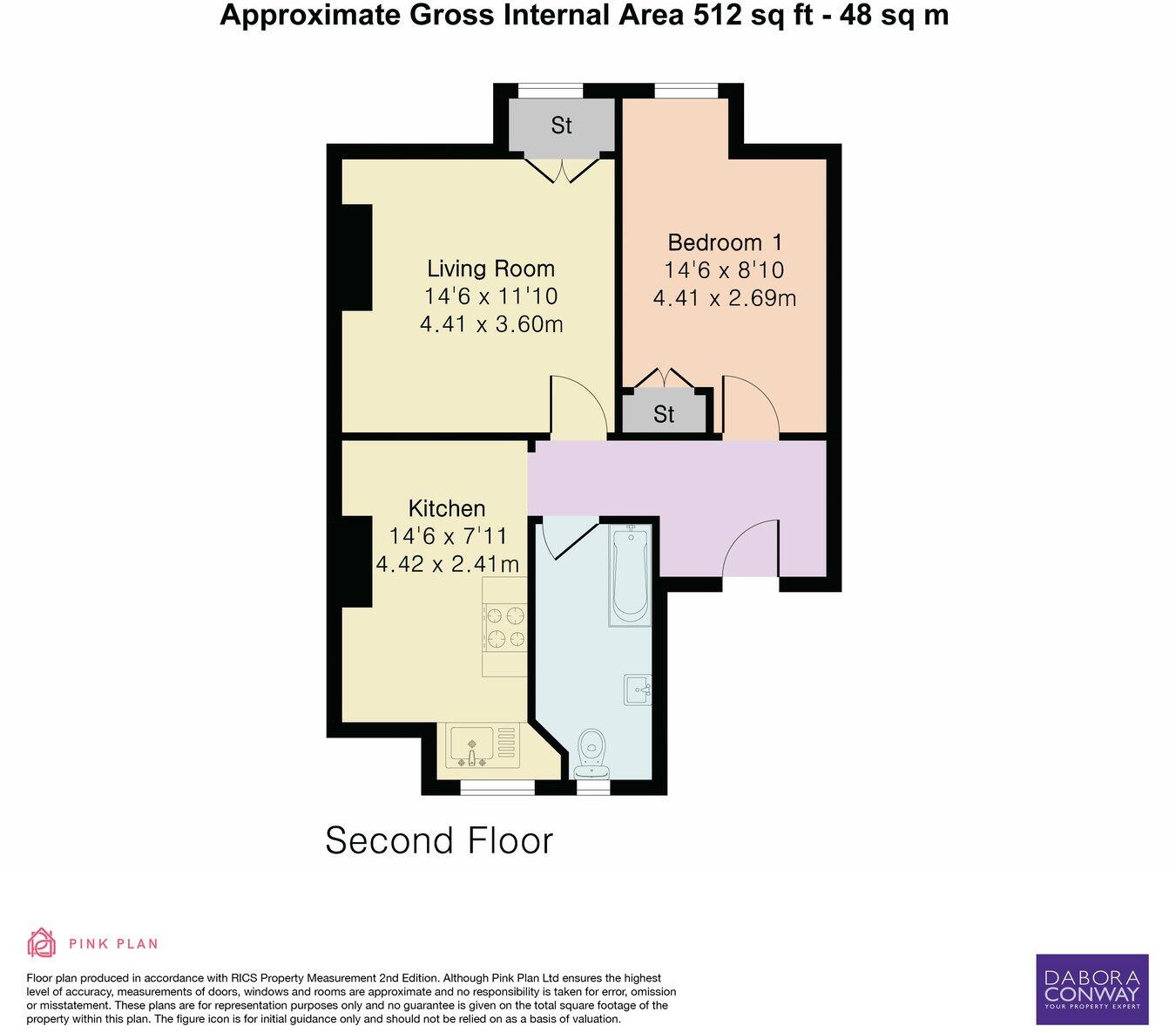
Well presented one bedroom, second floor conversion, half a mile from both Snaresbrook and South Woodford's Central Line stations.
- Bedrooms
- 1
- Bathrooms
- 1
The heatmap indicates the level of crime in the area. The color of the heatmap indicates the crime severity and recency.
Metrics Year-on-Year
- Average area value
- 420,625.00 £Decreased by 41.98 %
- Average area rental value
- 1,859.00 £/moDecreased by 4.42 %
- Est rental Yield
- 5.30 %Increased by 64.60 %
- Crime Rate
- 8.00 %Unchanged by 0.00 %
from 724,949.00 £
from 1,945.00 £/mo
from 3.22 %
from 8.00 %
Agent Activity
DABORACONWAY created the listing.
Nearby Schools
| Name | Type | Ofsted | Distance |
|---|---|---|---|
| Wanstead Church School | Voluntary Aided School | Outstanding | 0.17 KM |
| Wanstead Children'S Centre | Children's Centre | 0.18 KM | |
| Snaresbrook Primary School | Community School | Good | 0.66 KM |
| Our Lady Of Lourdes Rc Primary School | Academy Converter | 0.69 KM | |
| Snaresbrook Prep School | Other Independent School | 1.33 KM |
Images

Nearby Streets
| Name | Average Price | Average Sqft | Distance |
|---|---|---|---|
| Mountier Court | £ 0 | 0 | 0.00 KM |
| Dudley Court | £ 600,000 | 0 | 0.00 KM |
| Nelson Road | £ 550,000 | 0 | 0.00 KM |
| Esmat Close | £ 0 | 0 | 0.00 KM |
| Gordon Road | £ 863,182 | 0 | 0.00 KM |
Nearby Transport
| Name | NLC | TLC | Distance |
|---|---|---|---|
| Leytonstone High Road | 7403 | LER | 2.45 KM |
| Wood Street | 6954 | WST | 2.96 KM |
| Wanstead Park | 7408 | WNP | 3.13 KM |
| Forest Gate | 6876 | FOG | 3.37 KM |
| Leyton Midland Road | 7402 | LEM | 3.66 KM |
Nearby Listings
| Address | Price | Type | Score | Distance |
|---|---|---|---|---|
| Hermon Hill, SOUTH WOODFORD, E18 | £ 1,450 | RENT | Unknown | 0.00 KM |
| Hermon Hill, Wanstead | £ 2,000 | RENT | Unknown | 0.07 KM |
| High Street, Wanstead, London | £ 2,100 | RENT | Unknown | 0.09 KM |
| High Street , Wanstead | £ 1,425 | RENT | Unknown | 0.09 KM |
| Wanstead Heights, 1 High Street, Wanstead | £ 2,250 | RENT | Unknown | 0.09 KM |
Nearby Properties
| Address | Price | Distance |
|---|---|---|
| 5 High Street Wanstead | £ 77,000 | 0.09 KM |
| 34 The Hollies | £ 695,000 | 0.14 KM |
| 10 The Hollies | £ 555,000 | 0.14 KM |
| 31 The Hollies | £ 265,000 | 0.14 KM |
| 8 The Hollies | £ 237,000 | 0.14 KM |