CO
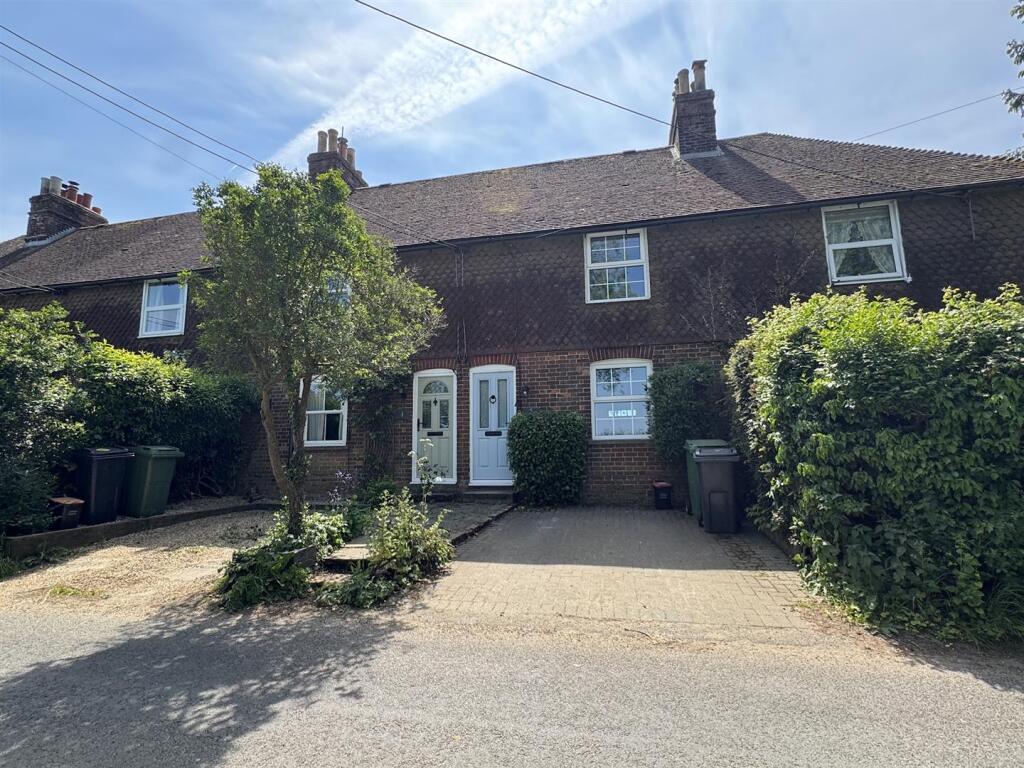
Lenham Road, Platts Heath
By Coles Group
£ 1,350
Coles Group says ..
No summary available.
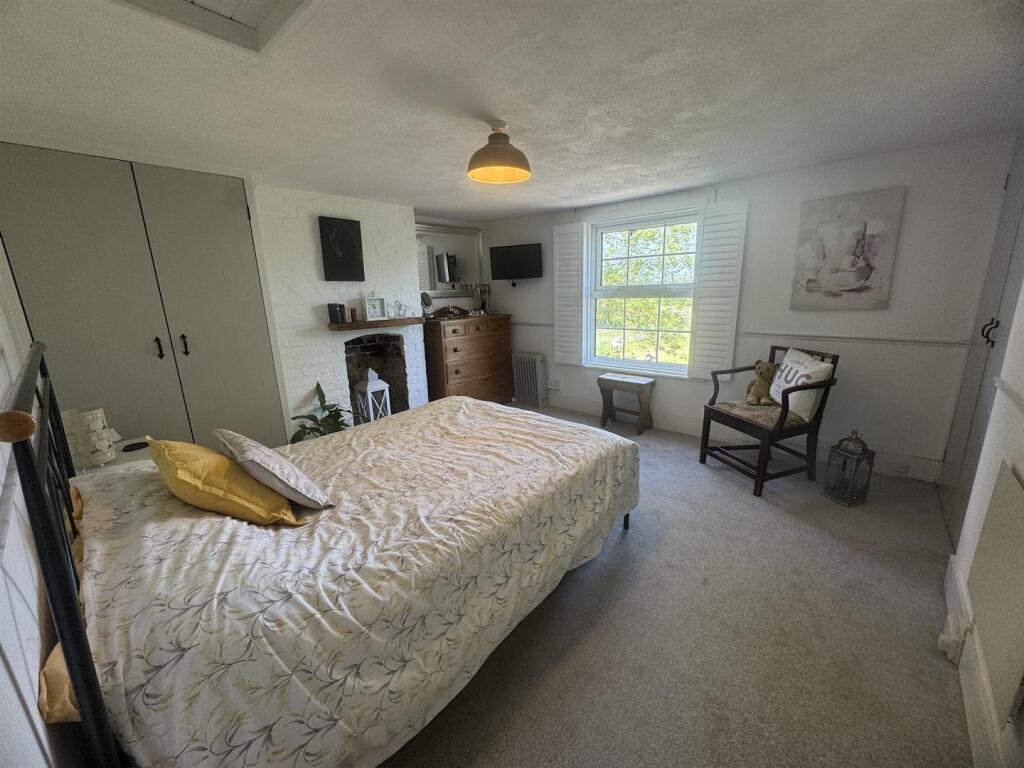
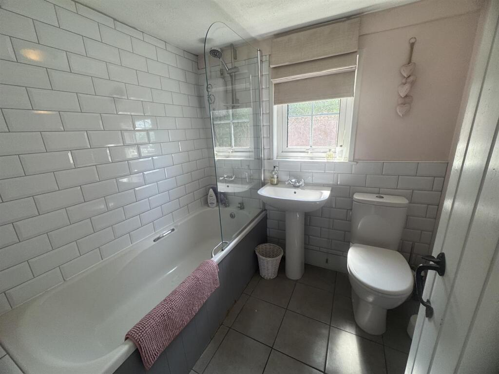
- Bedrooms
- 2
- Bathrooms
- 1
The heatmap indicates the level of crime in the area. The color of the heatmap indicates the crime severity and recency.
Metrics Year-on-Year
- Average area value
- 338,111.00 £Decreased by 28.64 %
- Average area rental value
- 1,650.00 £/moDecreased by 1.49 %
- Est rental Yield
- 5.86 %Increased by 38.21 %
- Crime Rate
- 0.00 %
from 473,791.00 £
from 1,675.00 £/mo
from 4.24 %
from 0.00 %
Agent Activity
Coles Group created the listing.
Nearby Schools
| Name | Type | Ofsted | Distance |
|---|---|---|---|
| Platts Heath Primary School | Community School | Requires improvement | 0.58 KM |
| Harrietsham Church Of England Primary School | Voluntary Controlled School | Good | 2.92 KM |
| The Lenham School | Academy Sponsor Led | Good | 3.67 KM |
| Lenham Primary School | Community School | Good | 3.72 KM |
| Ulcombe Church Of England Primary School | Voluntary Controlled School | Good | 4.44 KM |
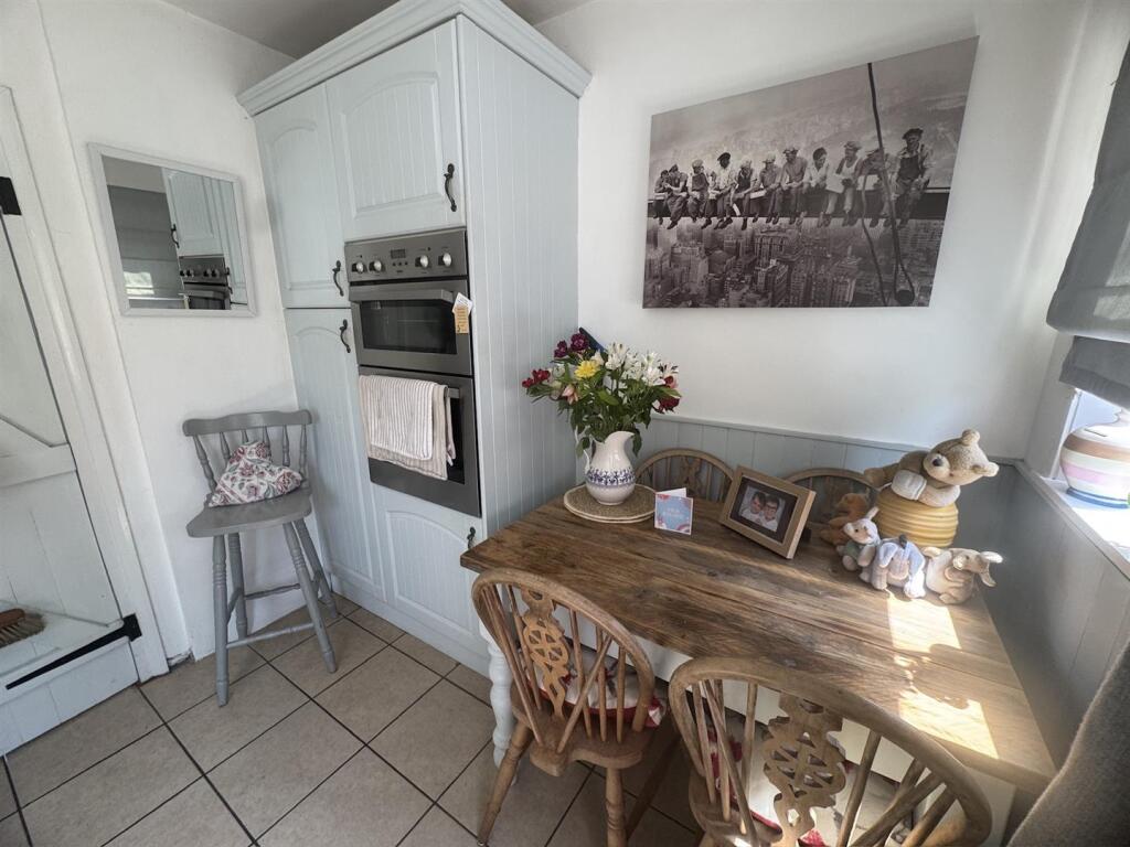
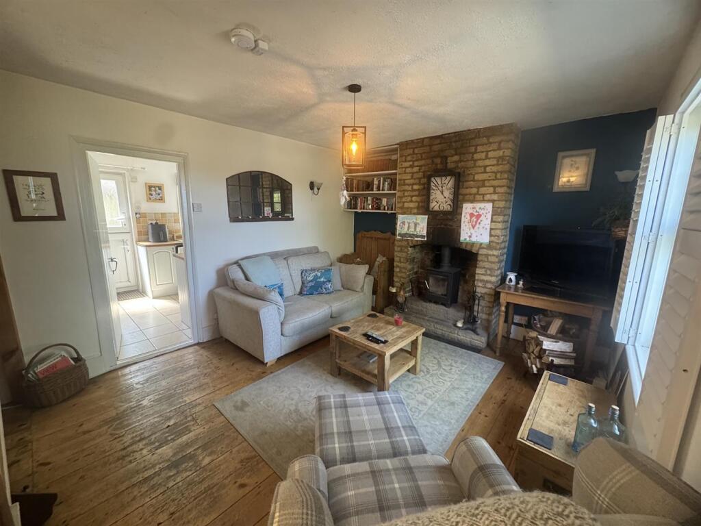
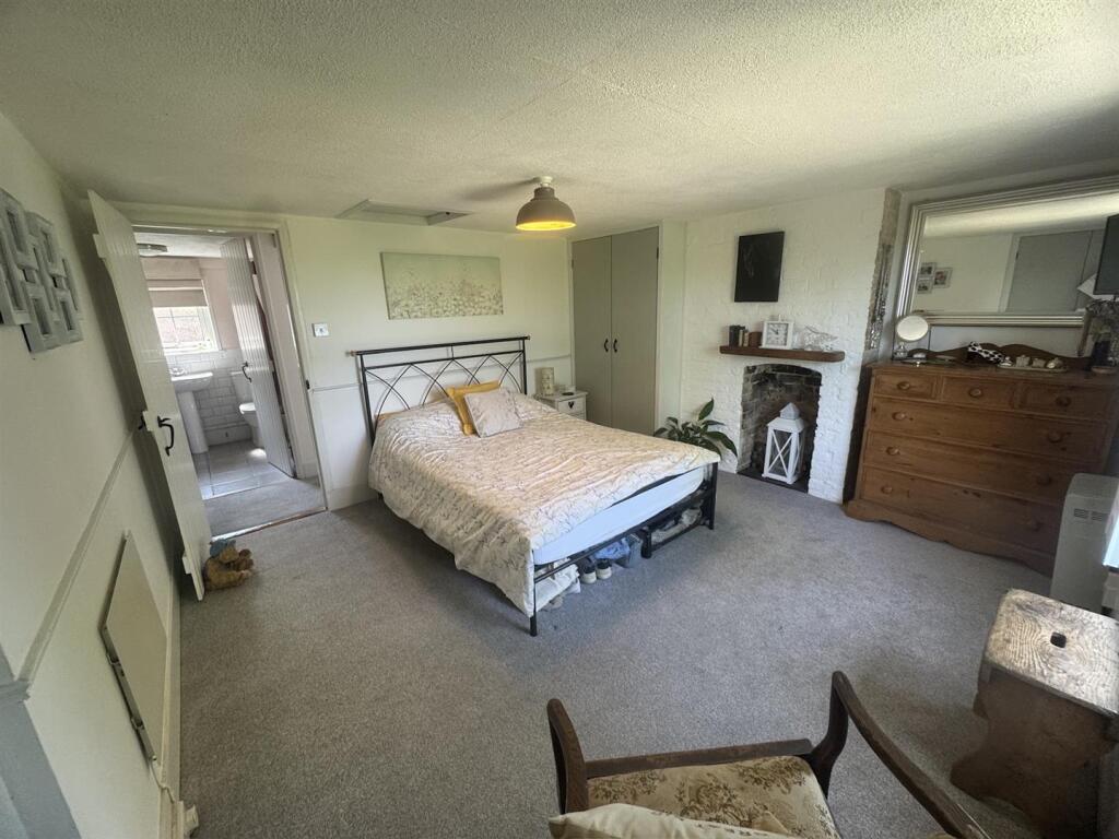
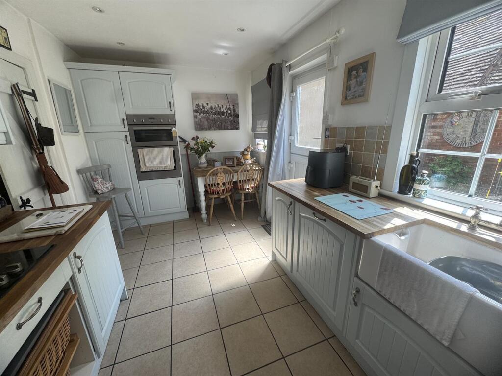
Images


Nearby Streets
| Name | Average Price | Average Sqft | Distance |
|---|---|---|---|
| Green Lane | £ 0 | 0 | 0.00 KM |
| School Lane | £ 0 | 0 | 0.00 KM |
| Runham Lane | £ 637,498 | 0 | 0.00 KM |
| Rectory Lane | £ 0 | 0 | 0.00 KM |
| M20 | £ 0 | 0 | 0.00 KM |
Nearby Transport
| Name | NLC | TLC | Distance |
|---|---|---|---|
| Harrietsham | 5140 | HRM | 2.53 KM |
| Lenham | 5111 | LEN | 3.09 KM |
| Hollingbourne | 5141 | HBN | 7.52 KM |
| Headcorn | 5220 | HCN | 8.85 KM |
Nearby Properties
| Address | Price | Distance |
|---|---|---|
| 12 Green Lane | £ 250,000 | 0.36 KM |
| 5 Green Lane | £ 295,000 | 0.36 KM |
| Faraway | £ 353,000 | 0.36 KM |
| 3 Green Lane | £ 200,000 | 0.36 KM |
| 1 Green Lane | £ 195,000 | 0.36 KM |