DA
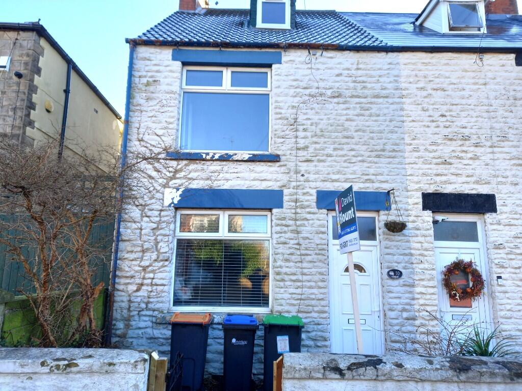
Howard Street, Sutton-In-Ashfield, Nottinghamshire, NG17
By David Blount Ltd
£ 675
David Blount Ltd says ..
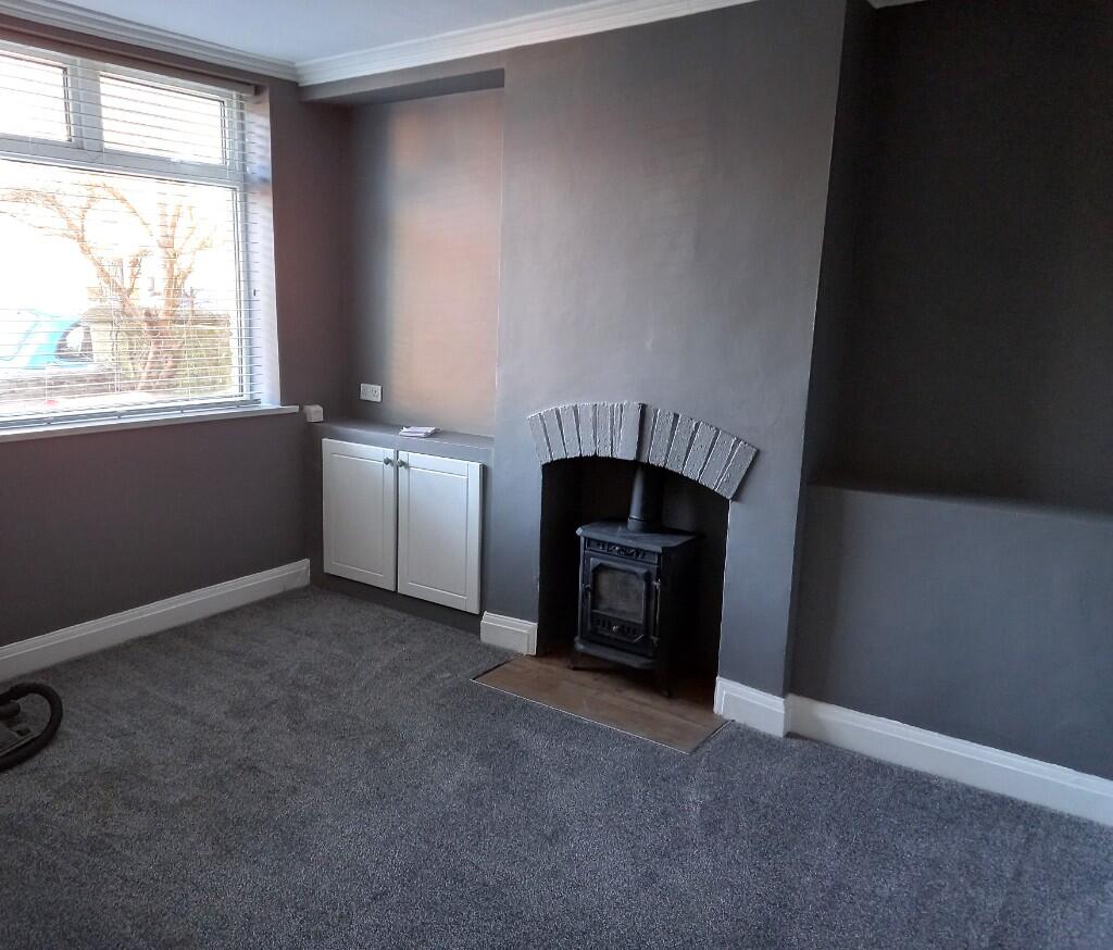
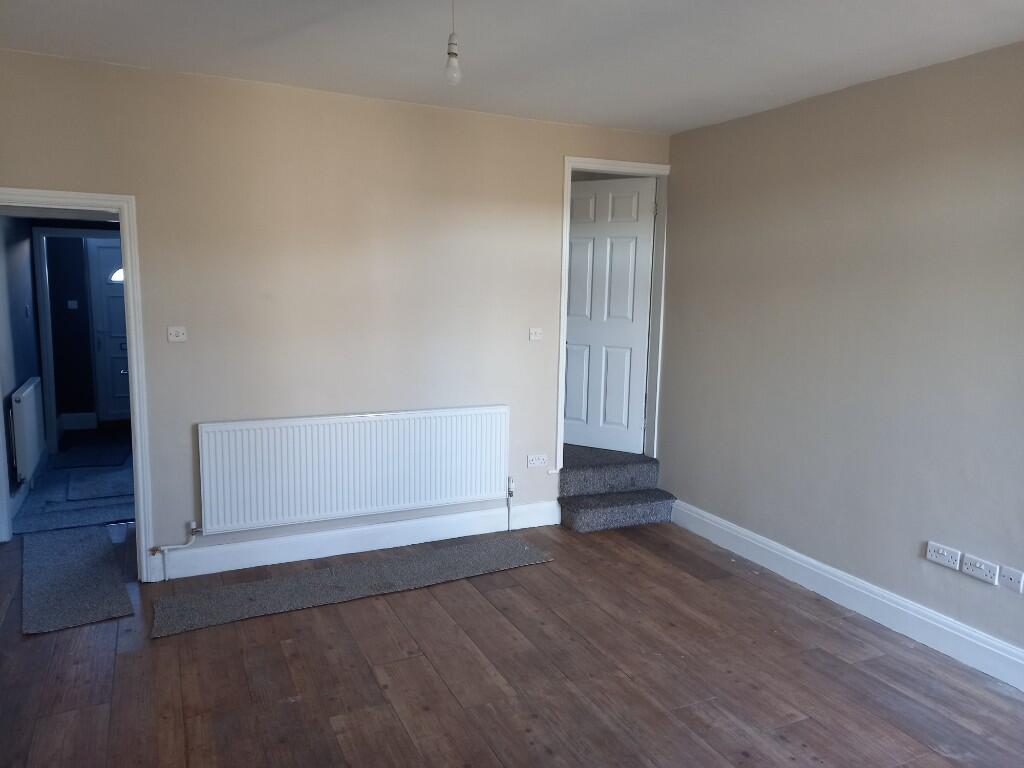
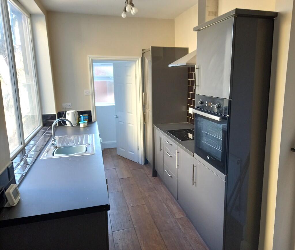
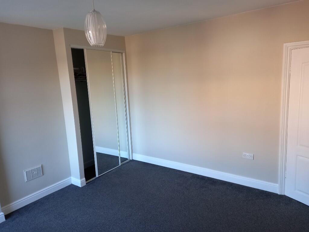
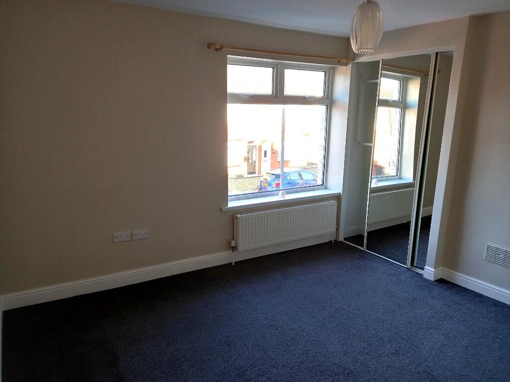
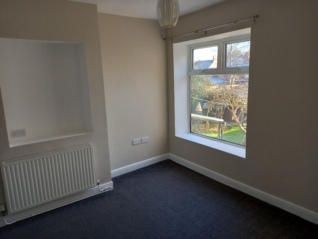
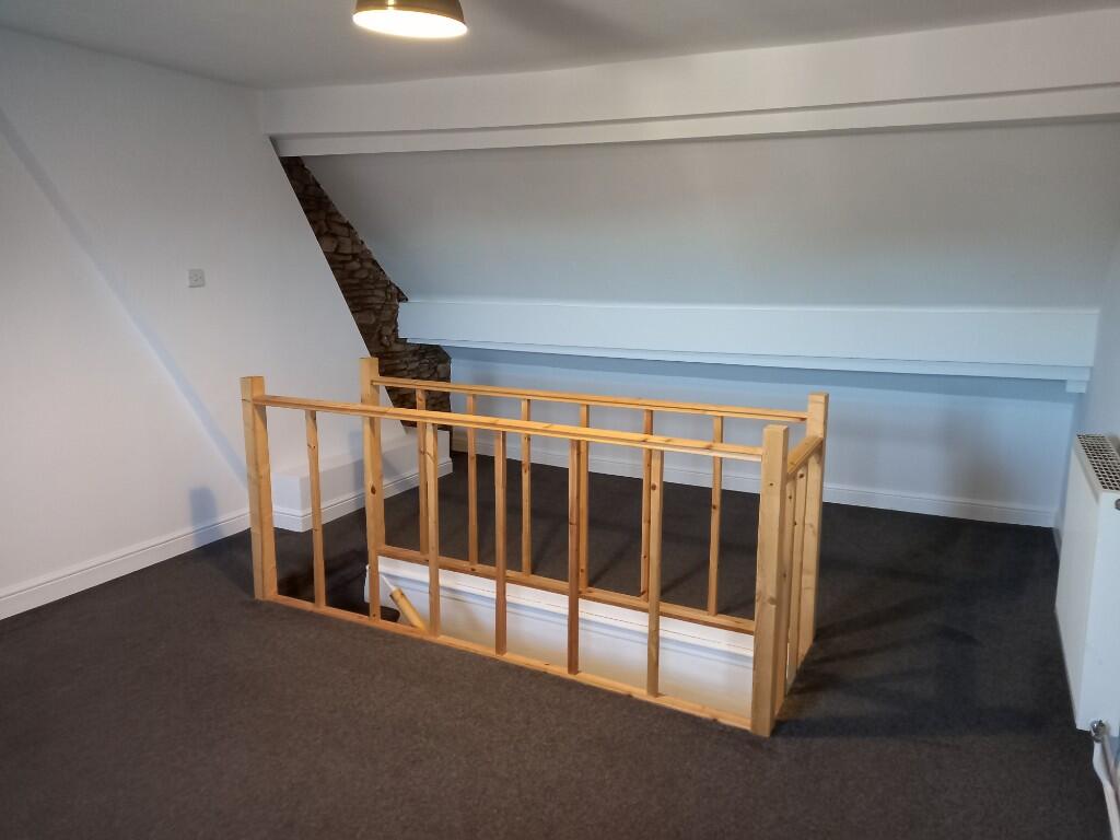
REFURBISHED GAS CENTRALLY HEATED & UPVC DOUBLE GLAZED THREE BEDROOMED HOUSE
- Bedrooms
- 3
- Bathrooms
- 0
The heatmap indicates the level of crime in the area. The color of the heatmap indicates the crime severity and recency.
Metrics Year-on-Year
- Average area value
- 221,400.00 £Decreased by 7.85 %
- Average area rental value
- 1,122.00 £/moIncreased by 12.88 %
- Est rental Yield
- 6.08 %Increased by 22.58 %
- Crime Rate
- 8.00 %Unchanged by 0.00 %
from 240,248.00 £
from 994.00 £/mo
from 4.96 %
from 8.00 %
Agent Activity
David Blount Ltd created the listing.
Nearby Schools
| Name | Type | Ofsted | Distance |
|---|---|---|---|
| Priestsic Primary And Nursery School | Community School | Requires improvement | 0.47 KM |
| Forest Glade Primary School | Academy Converter | 0.53 KM | |
| Croft Primary School | Community School | Good | 0.94 KM |
| Sutton Community Academy | Academy Sponsor Led | Serious Weaknesses | 1.02 KM |
| Quarrydale Academy | Academy Converter | Good | 1.08 KM |
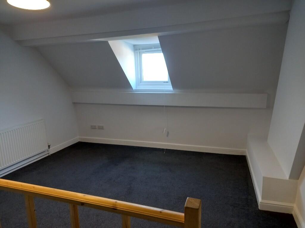
Images


Nearby Streets
| Name | Average Price | Average Sqft | Distance |
|---|---|---|---|
| Slater Street | £ 0 | 0 | 0.00 KM |
| Edward Avenue | £ 150,000 | 0 | 0.00 KM |
| Anslow Avenue | £ 180,000 | 0 | 0.00 KM |
| Lound House Road | £ 0 | 0 | 0.00 KM |
| Portland Close | £ 0 | 0 | 0.00 KM |
Nearby Transport
| Name | NLC | TLC | Distance |
|---|---|---|---|
| Sutton Parkway | 1861 | SPK | 2.40 KM |
| Kirkby-In-Ashfield | 1867 | KKB | 3.61 KM |
| Mansfield | 1727 | MFT | 6.58 KM |
| Mansfield Woodhouse | 1728 | MSW | 7.03 KM |
| Newstead | 1863 | NSD | 7.96 KM |
Nearby Listings
| Address | Price | Type | Score | Distance |
|---|---|---|---|---|
| Mansfield Road, NG17 | £ 550 | RENT | Unknown | 0.20 KM |
| Mansfield Road, Sutton-in-Ashfield, ng17 | £ 675 | RENT | Unknown | 0.20 KM |
| Morley Street, Sutton-in-Ashfield | £ 475 | RENT | Unknown | 0.24 KM |
| Morley Street, Sutton-in-Ashfield | £ 475 | RENT | Unknown | 0.24 KM |
| Morley Street, Sutton-in-Ashfield | £ 475 | RENT | Unknown | 0.24 KM |
Nearby Properties
| Address | Price | Distance |
|---|---|---|
| 15 Howard Street | £ 130,000 | 0.00 KM |
| 31 Howard Street | £ 86,000 | 0.00 KM |
| 30 Howard Street | £ 38,000 | 0.00 KM |
| 42 Howard Street | £ 190,000 | 0.00 KM |
| 14 Howard Street | £ 149,750 | 0.00 KM |