
TH
Coventry Road, Sheldon, Birmingham, B26
By The Online Property Agency
£ 165,000
The Online Property Agency says ..
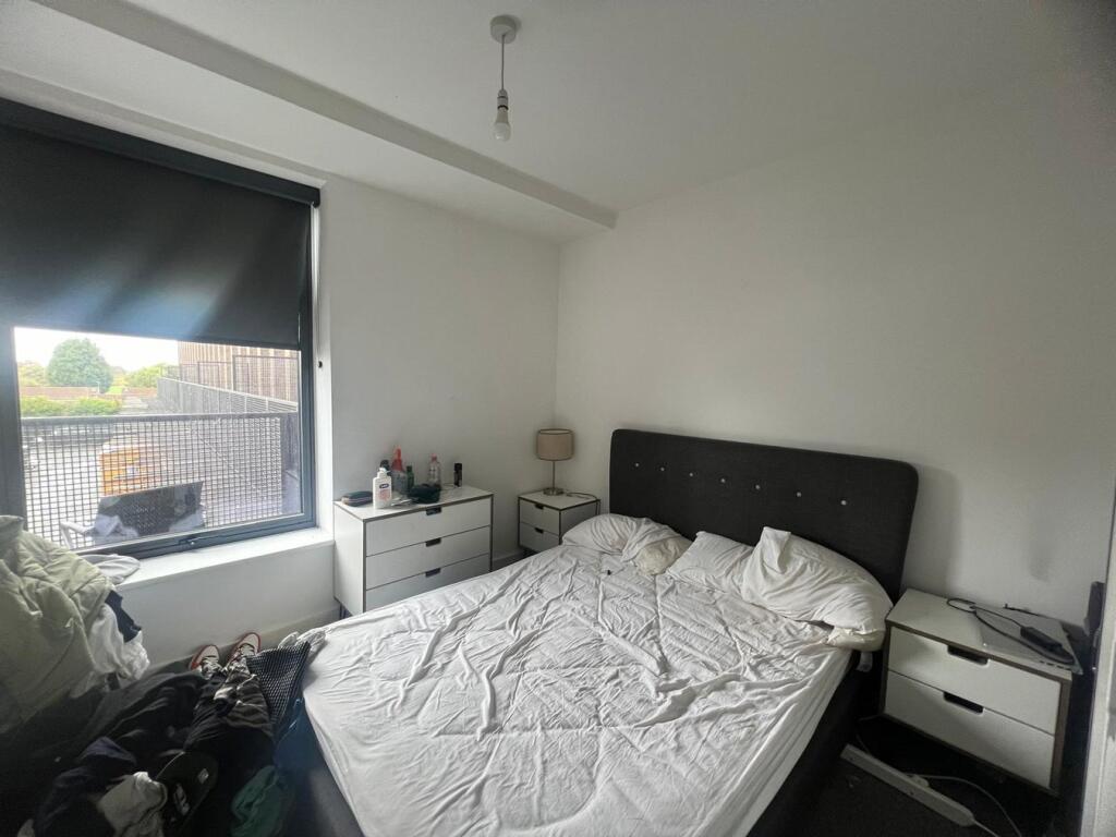
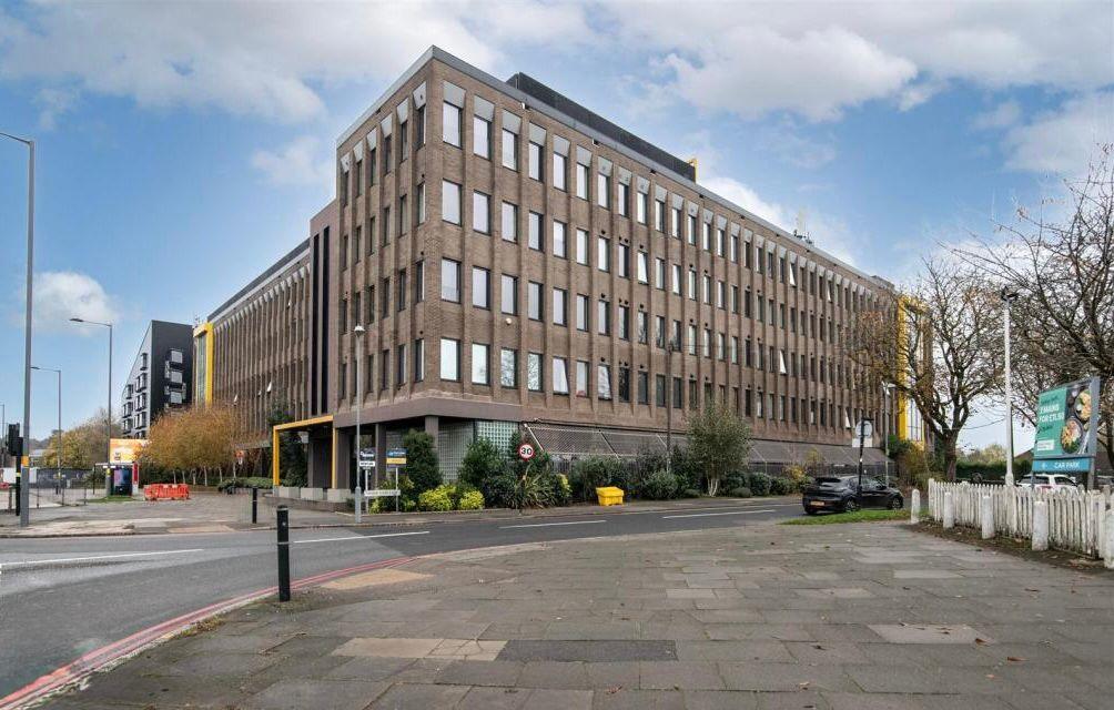
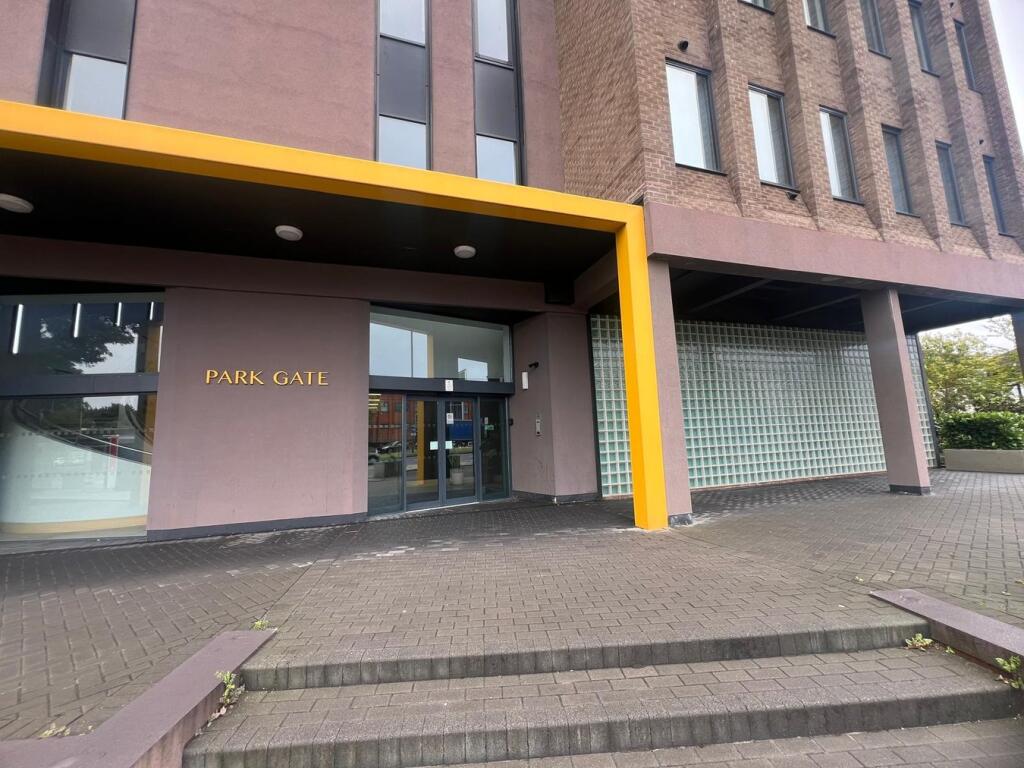
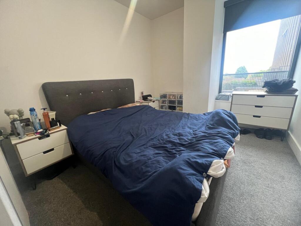
Tenanted Two-Bedroom Modern Apartment
- Bedrooms
- 2
- Bathrooms
- 1
The heatmap indicates the level of crime in the area. The color of the heatmap indicates the crime severity and recency.
Metrics Year-on-Year
- Average area value
- 259,821.00 £Increased by 8.05 %
- Average area rental value
- 1,011.00 £/moIncreased by 5.53 %
- Est rental Yield
- 4.67 %Decreased by 2.30 %
- Crime Rate
- 10.00 %Unchanged by 0.00 %
from 240,470.00 £
from 958.00 £/mo
from 4.78 %
from 10.00 %
Agent Activity
The Online Property Agency created the listing.
Nearby Schools
| Name | Type | Ofsted | Distance |
|---|---|---|---|
| Lyndon School | Academy Sponsor Led | Requires improvement | 0.71 KM |
| St Thomas More Catholic Primary School | Academy Sponsor Led | 0.73 KM | |
| Brays School | Academy Special Converter | Outstanding | 0.86 KM |
| Lyndon Green Infant School | Community School | Good | 1.02 KM |
| Lyndon Green Junior School | Community School | Requires improvement | 1.06 KM |
Images


Nearby Streets
| Name | Average Price | Average Sqft | Distance |
|---|---|---|---|
| Oaks | £ 260,000 | 0 | 0.00 KM |
| Keswick Road | £ 423,333 | 0 | 0.00 KM |
| Common Lane | £ 320,714 | 0 | 0.00 KM |
| Weaver Avenue | £ 193,333 | 0 | 0.00 KM |
| Field Close | £ 180,000 | 0 | 0.00 KM |
Nearby Transport
| Name | NLC | TLC | Distance |
|---|---|---|---|
| Olton | 4533 | OLT | 2.41 KM |
| Lea Hall | 1133 | LEH | 3.00 KM |
| Acocks Green | 4529 | ACG | 3.36 KM |
| Marston Green | 1034 | MGN | 3.97 KM |
| Stechford | 1043 | SCF | 4.23 KM |
Nearby Listings
| Address | Price | Type | Score | Distance |
|---|---|---|---|---|
| Coventry Road, Sheldon, B26 | £ 168,000 | BUY | 6 / 10 | 0.00 KM |
| Coventry Road, Sheldon, Birmingham, B26 | £ 165,000 | BUY | Unknown | 0.00 KM |
| City Green, 2096 Coventry Road, Birmingham, B26 3YU | £ 230,000 | BUY | 5 / 10 | 0.00 KM |
| Coventry Road, Sheldon | £ 158,000 | BUY | Unknown | 0.00 KM |
| Coventry Road, Sheldon, B26 | £ 180,000 | BUY | 5 / 10 | 0.00 KM |
Nearby Properties
| Address | Price | Distance |
|---|---|---|
| 12 Wellsford Avenue | £ 263,000 | 0.18 KM |
| 10 Wellsford Avenue | £ 224,000 | 0.18 KM |
| 43 Wellsford Avenue | £ 191,000 | 0.18 KM |
| 19 Wellsford Avenue | £ 292,000 | 0.18 KM |
| 404 Lyndon Road | £ 160,000 | 0.20 KM |