CH
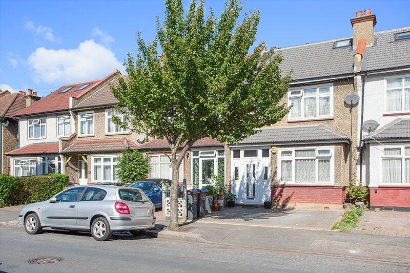
Linden Avenue, Thornton Heath
By Charles Richardson
£ 520,000
Charles Richardson says ..
Linden Avenue
- Bedrooms
- 4
- Bathrooms
- 4
The heatmap indicates the level of crime in the area. The color of the heatmap indicates the crime severity and recency.
Metrics Year-on-Year
- Average area value
- 520,556.00 £Increased by 29.09 %
- Average area rental value
- 1,851.00 £/moIncreased by 6.14 %
- Est rental Yield
- 4.27 %Decreased by 17.73 %
- Crime Rate
- 4.00 %Unchanged by 0.00 %
from 403,236.00 £
from 1,744.00 £/mo
from 5.19 %
from 4.00 %
Agent Activity
Charles Richardson created the listing.
Nearby Schools
| Name | Type | Ofsted | Distance |
|---|---|---|---|
| Winterbourne Nursery And Infants' School | Community School | Requires improvement | 0.64 KM |
| Winterbourne Boys' Academy | Academy Sponsor Led | Good | 0.64 KM |
| Winterbourne Children'S Centre | Children's Centre Linked Site | 0.64 KM | |
| Winterbourne Junior Girls' School | Community School | Good | 0.64 KM |
| Paxton Academy Sports And Science | Free Schools | Serious Weaknesses | 0.83 KM |
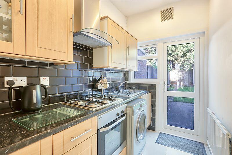
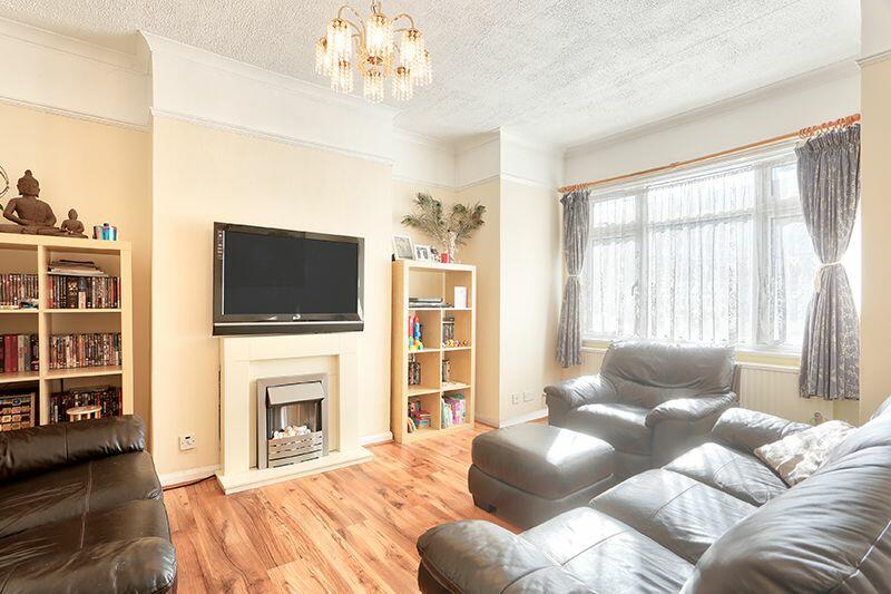
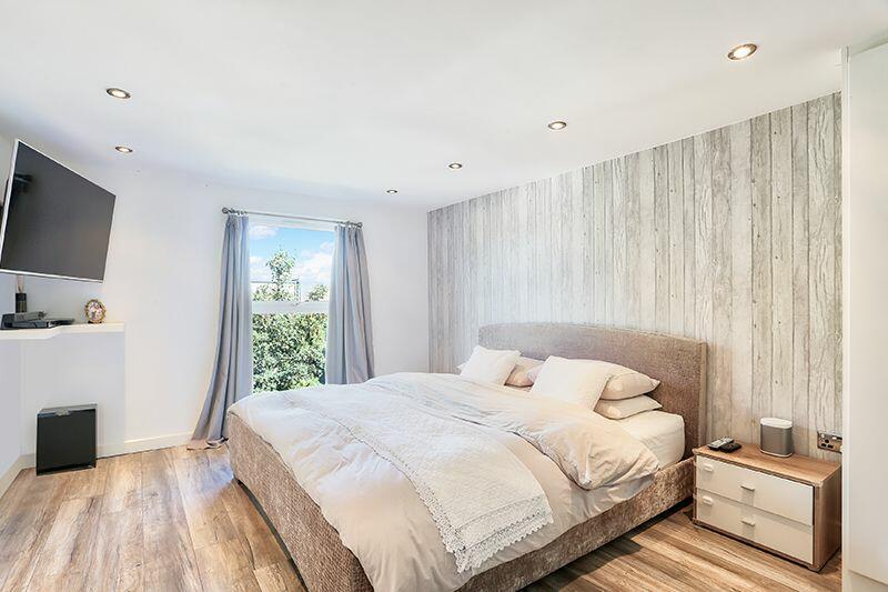
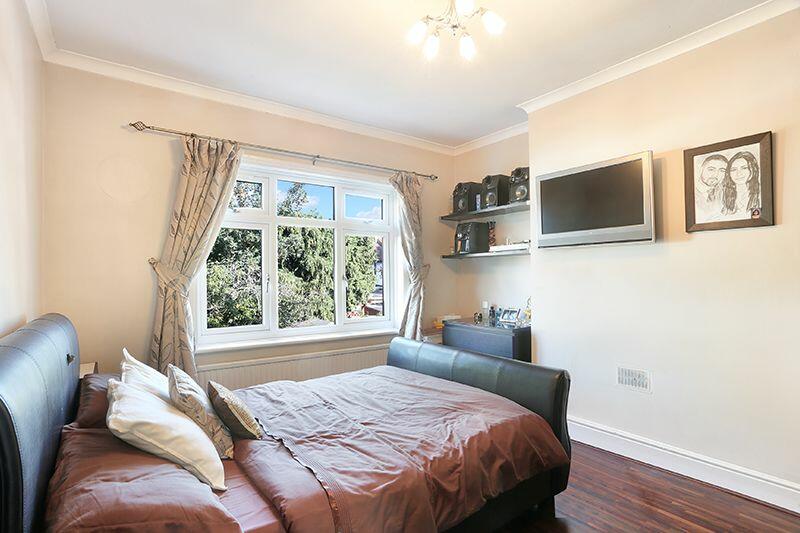
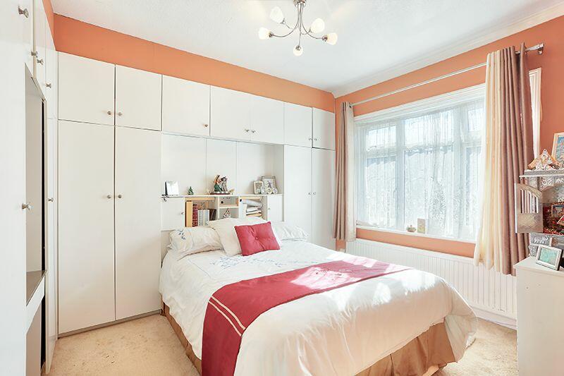
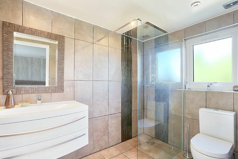
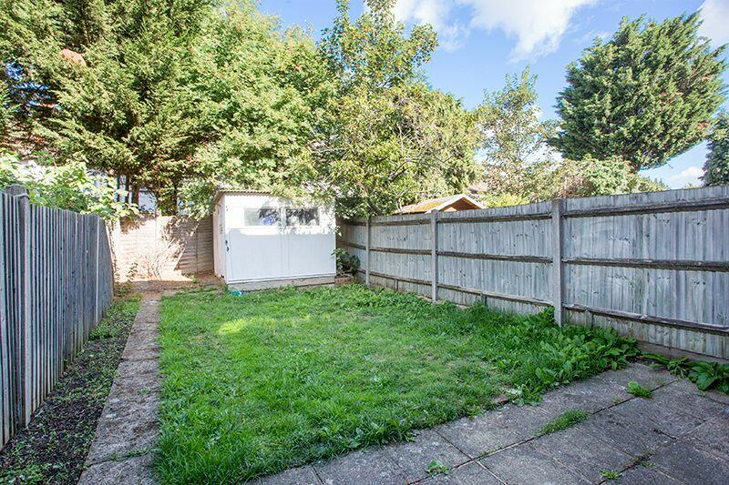
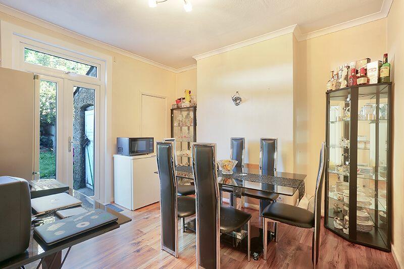
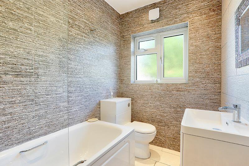
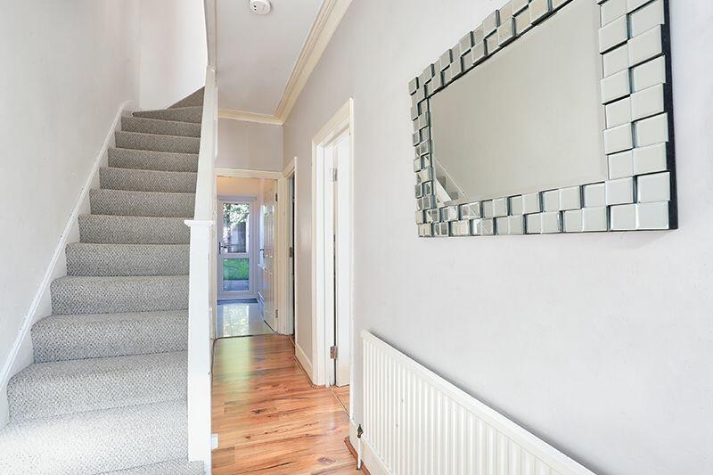
Images

Nearby Streets
| Name | Average Price | Average Sqft | Distance |
|---|---|---|---|
| Malvern Road | £ 0 | 0 | 0.00 KM |
| Bedser Close | £ 0 | 0 | 0.00 KM |
| St Christopher's Gardens | £ 0 | 0 | 0.00 KM |
| Oaklands Avenue | £ 352,500 | 0 | 0.00 KM |
| Ford Close | £ 0 | 0 | 0.00 KM |
Nearby Transport
| Name | NLC | TLC | Distance |
|---|---|---|---|
| Thornton Heath | 5388 | TTH | 0.96 KM |
| Norbury | 5428 | NRB | 1.98 KM |
| West Croydon | 5411 | WCY | 2.42 KM |
| Selhurst | 5434 | SRS | 2.42 KM |
| East Croydon | 5355 | ECR | 3.19 KM |
Nearby Listings
| Address | Price | Type | Score | Distance |
|---|---|---|---|---|
| Linden Avenue, Thornton Heath | £ 450,000 | BUY | 5 / 10 | 0.01 KM |
| Beechwood Avenue, Thornton Heath, Surrey | £ 500,000 | BUY | 7 / 10 | 0.10 KM |
| Beechwood Avenue, Thornton Heath | £ 475,000 | BUY | 7 / 10 | 0.10 KM |
| Langdale Road, Thornton Heath, CR7 | £ 525,000 | BUY | Unknown | 0.12 KM |
| Nutfield Road, Thornton Heath, CR7 | £ 500,000 | BUY | 6 / 10 | 0.13 KM |
Nearby Properties
| Address | Price | Distance |
|---|---|---|
| 54 Linden Avenue | £ 240,000 | 0.01 KM |
| 47 Linden Avenue | £ 350,000 | 0.01 KM |
| 39 Linden Avenue | £ 249,375 | 0.01 KM |
| 44 Linden Avenue | £ 205,000 | 0.01 KM |
| 49 Linden Avenue | £ 340,000 | 0.01 KM |