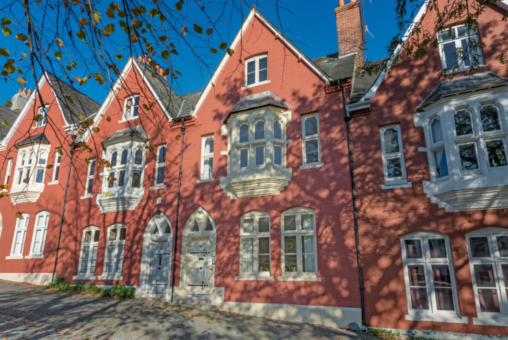

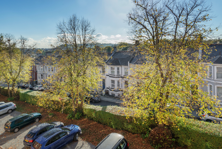
Molesworth Road, Plymouth, Devon, PL1
By National Residential
£ 340,000
National Residential says ..
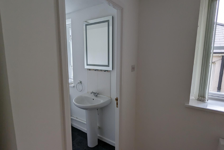
High-Yield Freehold Investment - Fully Let Block of Four Flats
- Bedrooms
- 5
- Bathrooms
- 4
The heatmap indicates the level of crime in the area. The color of the heatmap indicates the crime severity and recency.
Metrics Year-on-Year
- Average area value
- 308,693.00 £Increased by 9.77 %
- Average area rental value
- 1,292.00 £/moIncreased by 17.03 %
- Est rental Yield
- 5.02 %Increased by 6.58 %
- Crime Rate
- 2.00 %Unchanged by 0.00 %
from 281,218.00 £
from 1,104.00 £/mo
from 4.71 %
from 2.00 %
Agent Activity
National Residential created the listing.
Nearby Schools
| Name | Type | Ofsted | Distance |
|---|---|---|---|
| Devonport High School For Boys | Academy Converter | 0.31 KM | |
| Stuart Road Primary School | Academy Converter | 0.48 KM | |
| Stoke Damerel Community College | Academy Converter | Requires improvement | 0.56 KM |
| Scott Medical And Healthcare College | Studio Schools | Good | 0.56 KM |
| High Street Primary Academy | Academy Sponsor Led | Serious Weaknesses | 0.60 KM |
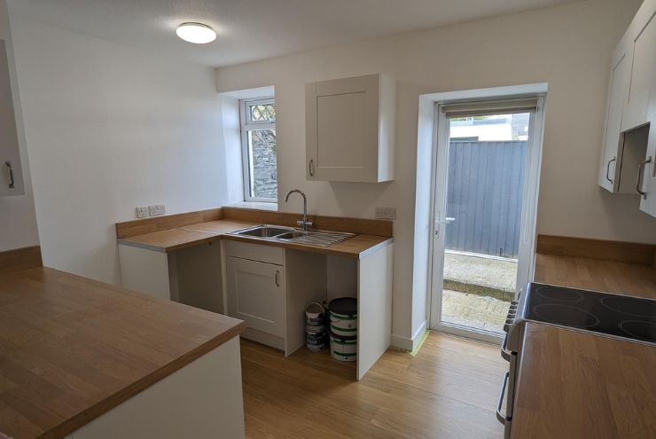
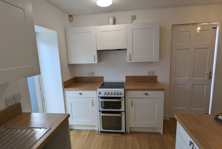
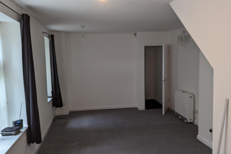
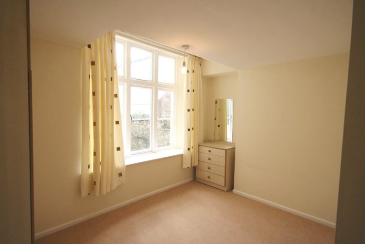
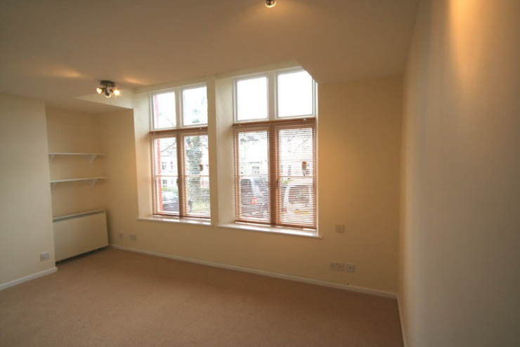
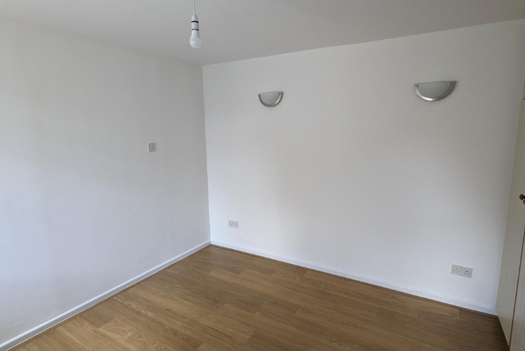
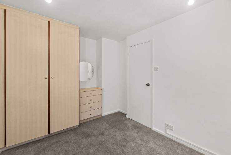
Images


Nearby Streets
| Name | Average Price | Average Sqft | Distance |
|---|---|---|---|
| Valletort Lane | £ 0 | 0 | 0.00 KM |
| Queen's Gate | £ 200,000 | 0 | 0.00 KM |
| The Elms | £ 0 | 0 | 0.00 KM |
| Victoria Avenue | £ 260,000 | 0 | 0.00 KM |
| Church Street | £ 280,000 | 0 | 0.00 KM |
Nearby Transport
| Name | NLC | TLC | Distance |
|---|---|---|---|
| Devonport | 3579 | DPT | 1.21 KM |
| Plymouth | 3580 | PLY | 1.85 KM |
| Dockyard (Devonport) | 3588 | DOC | 1.87 KM |
| Keyham | 3571 | KEY | 2.64 KM |
| St Budeaux Ferry Road | 3590 | SBF | 4.07 KM |
Nearby Listings
| Address | Price | Type | Score | Distance |
|---|---|---|---|---|
| Molesworth Road, Stoke, Plymouth | £ 100,000 | BUY | 6 / 10 | 0.00 KM |
| Molesworth Road, Plymouth, Devon, PL1 | £ 340,000 | BUY | Unknown | 0.00 KM |
| Moleworth Road. Stoke | £ 150,000 | BUY | 5 / 10 | 0.00 KM |
| Molesworth Road, Stoke, Plymouth. | £ 450,000 | BUY | 7 / 10 | 0.01 KM |
| Molesworth Road, Stoke, PL1 | £ 495,000 | BUY | 6 / 10 | 0.01 KM |
Nearby Properties
| Address | Price | Distance |
|---|---|---|
| 68 Molesworth Road | £ 285,000 | 0.00 KM |
| 70b Molesworth Road | £ 69,500 | 0.00 KM |
| 70 Molesworth Road | £ 69,500 | 0.00 KM |
| 46 Molesworth Road | £ 334,000 | 0.00 KM |
| 66 Molesworth Road | £ 332,000 | 0.00 KM |