OS
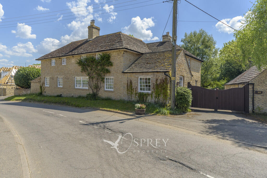
Crown House
By Osprey
£ 3,000
Osprey says ..
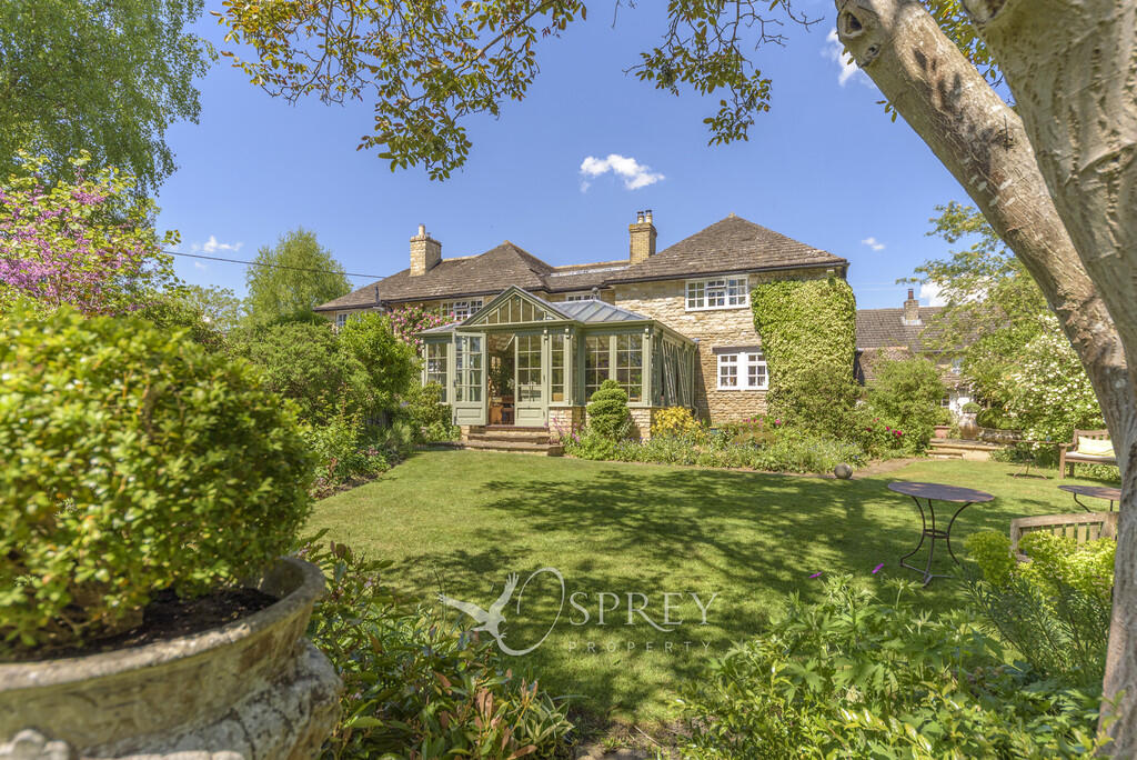
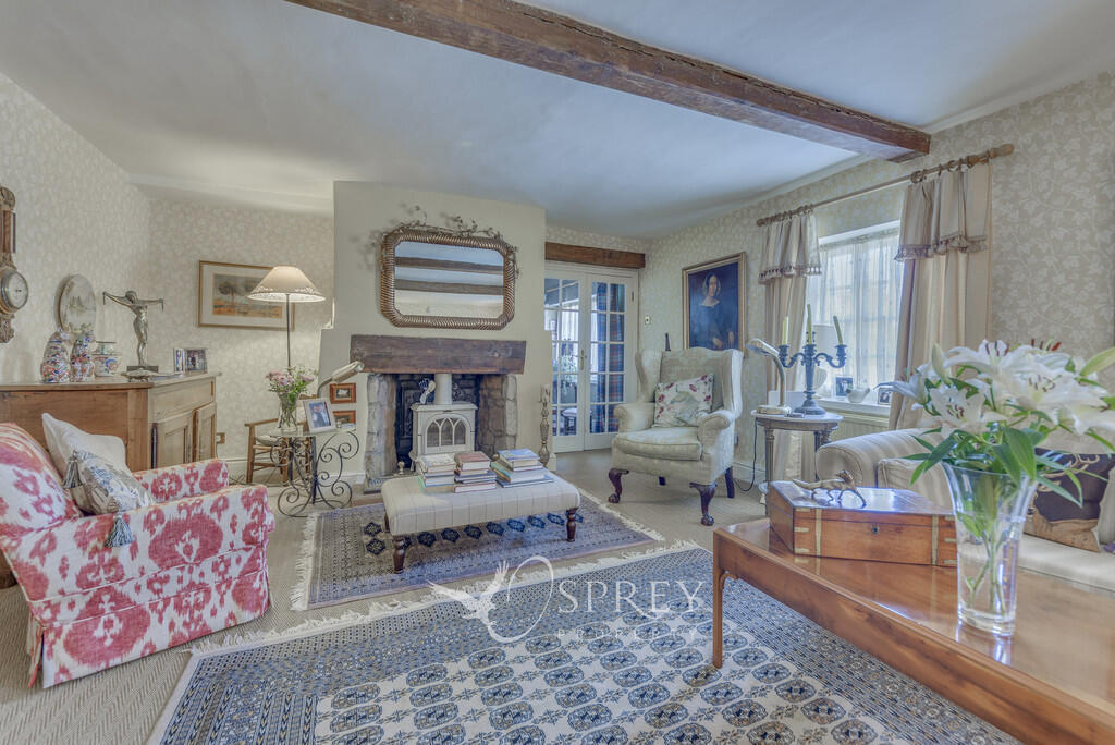
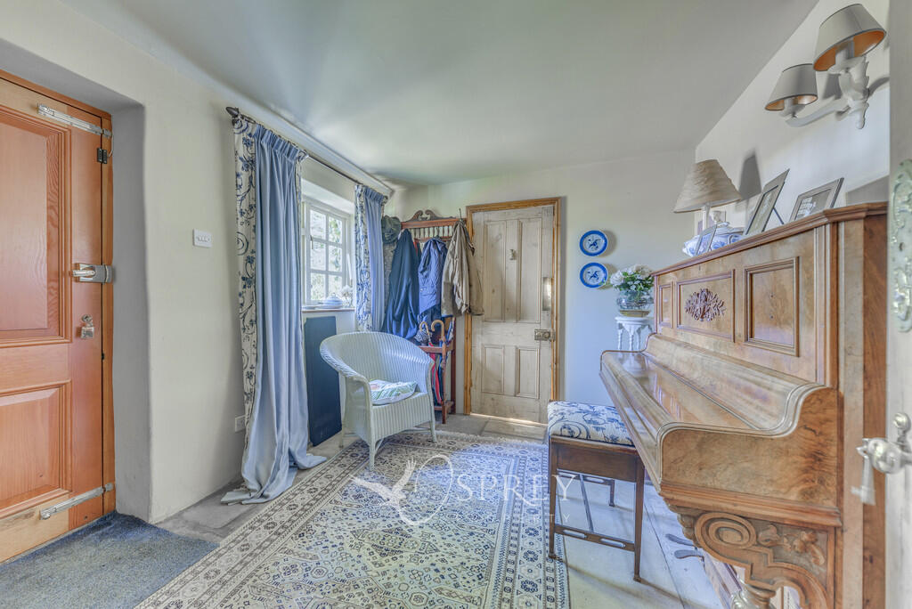
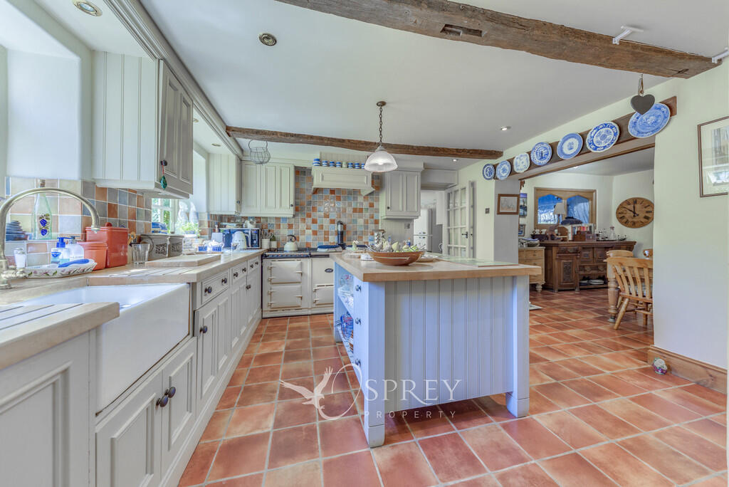
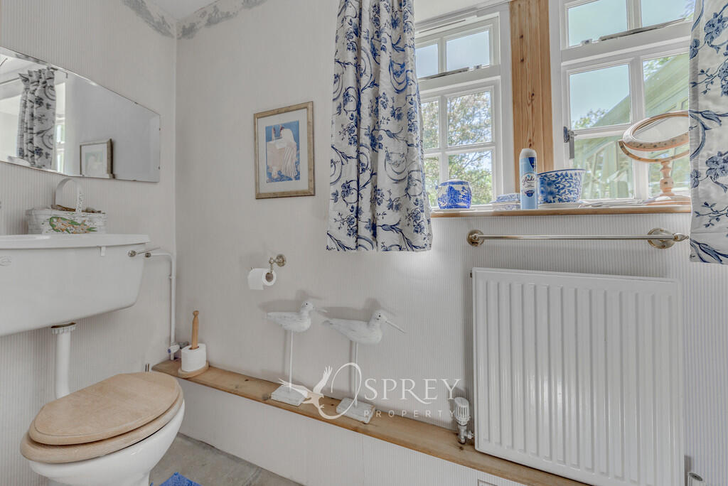
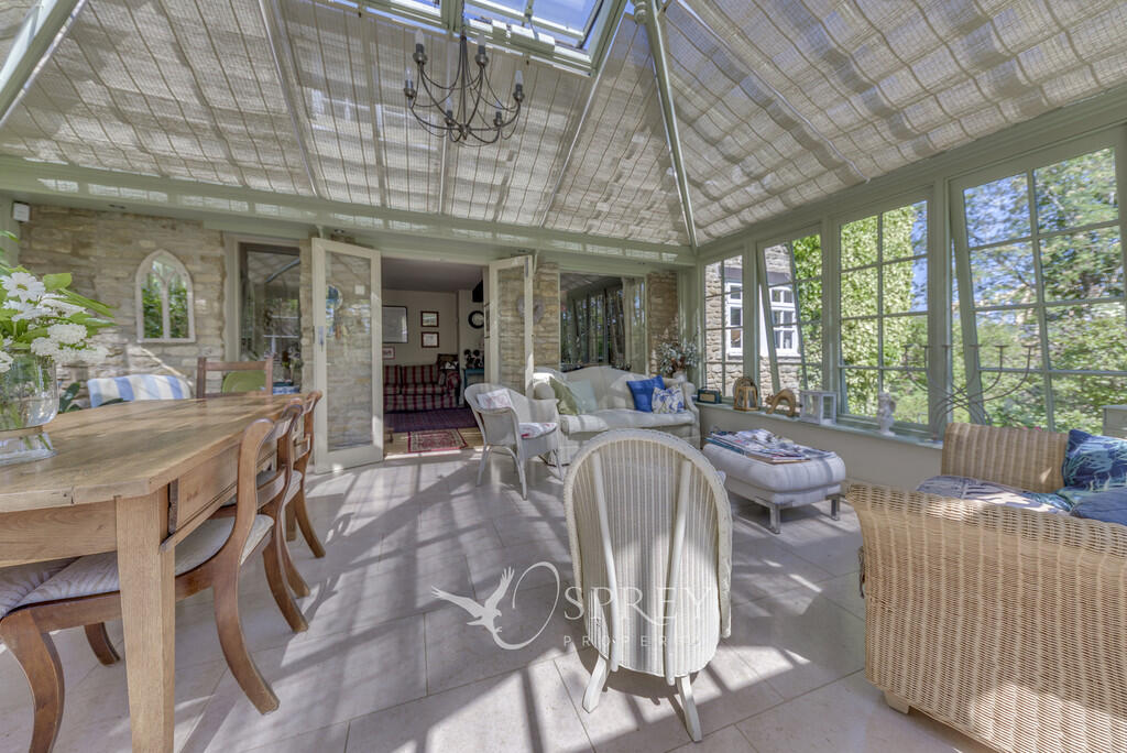
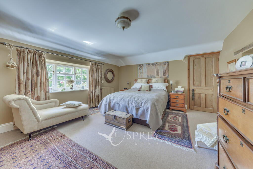
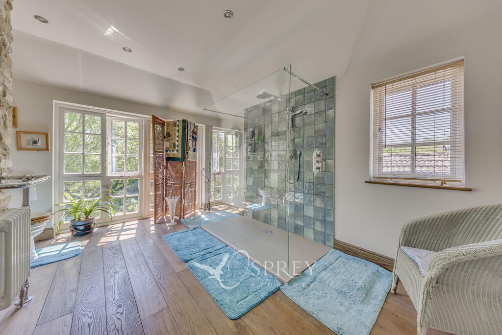
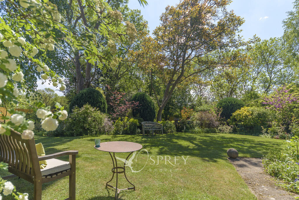
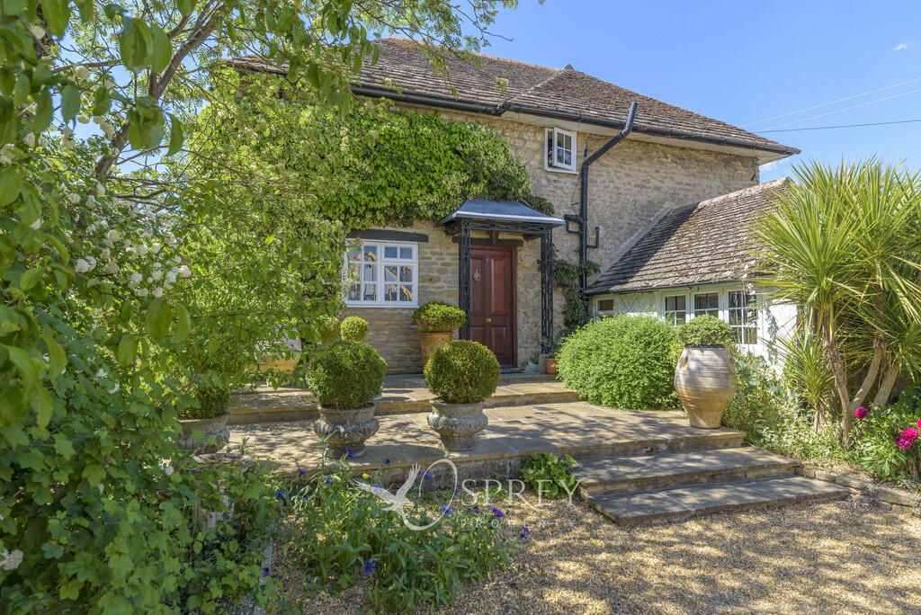
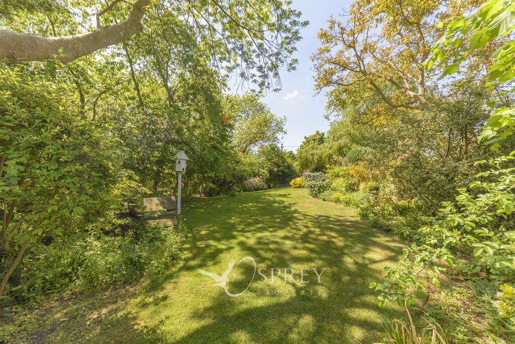
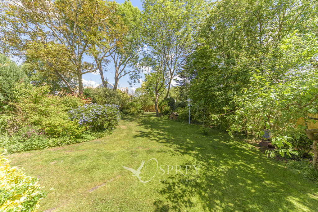
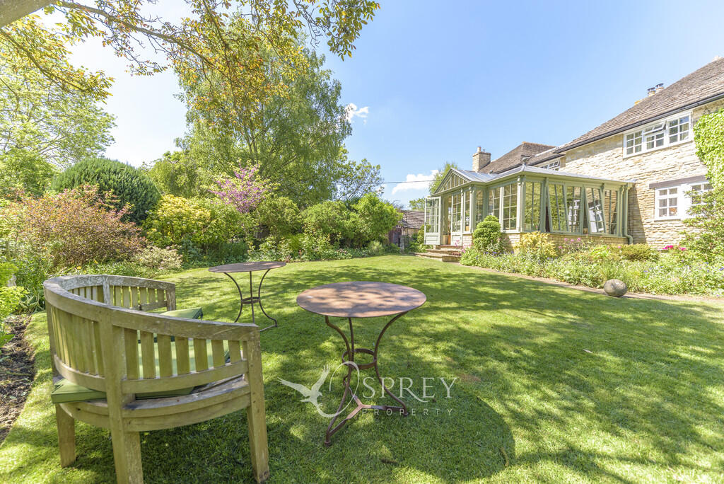
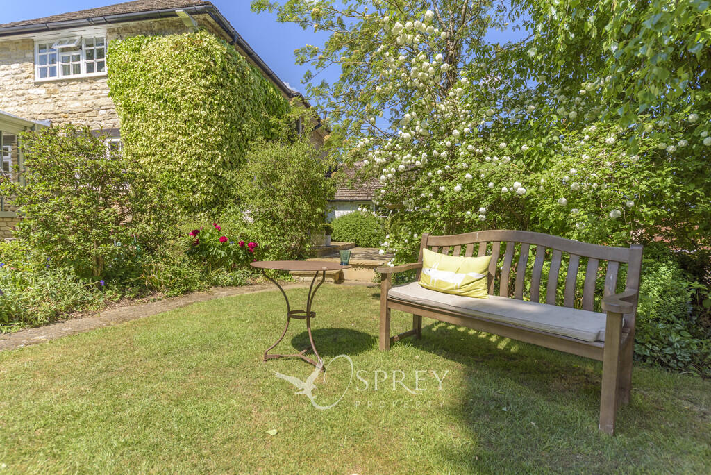
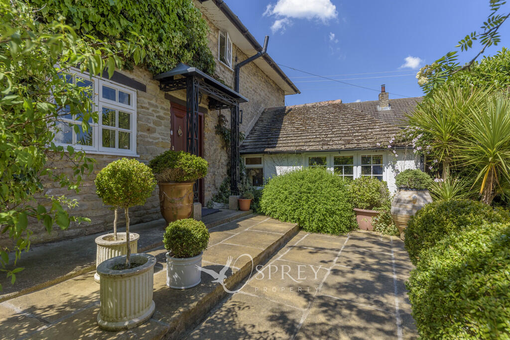
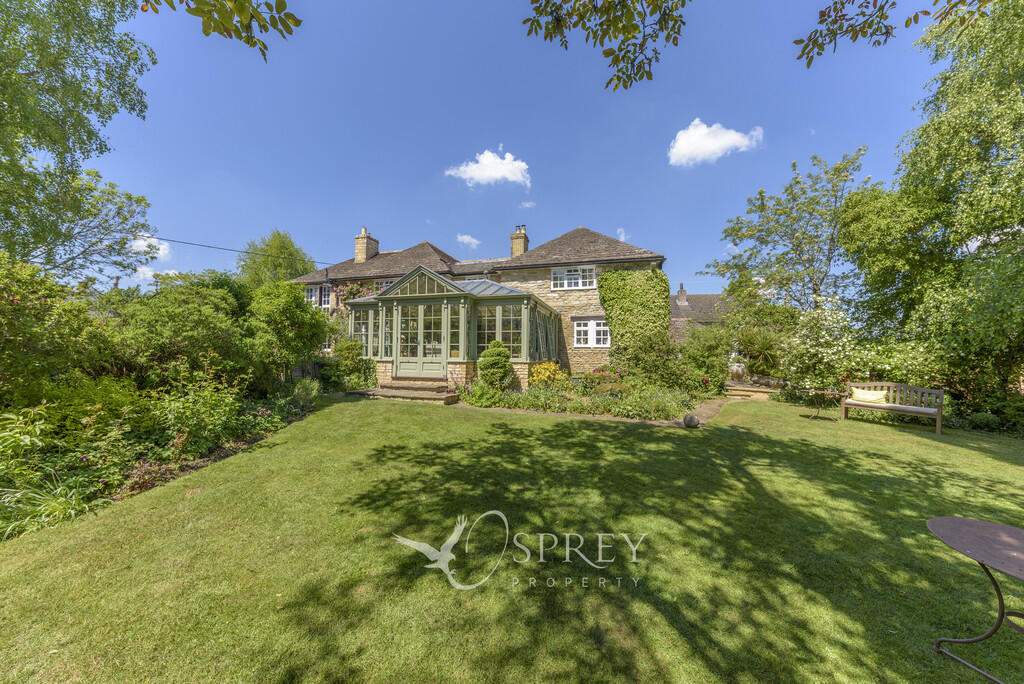
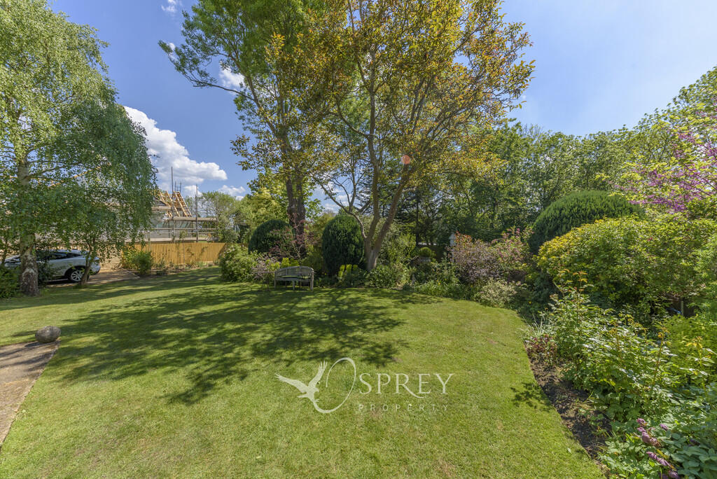
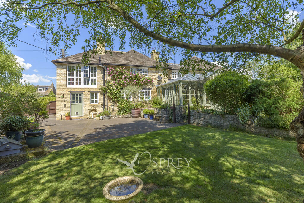
Beautifully curated detached house with South facing gardens and gated parking.
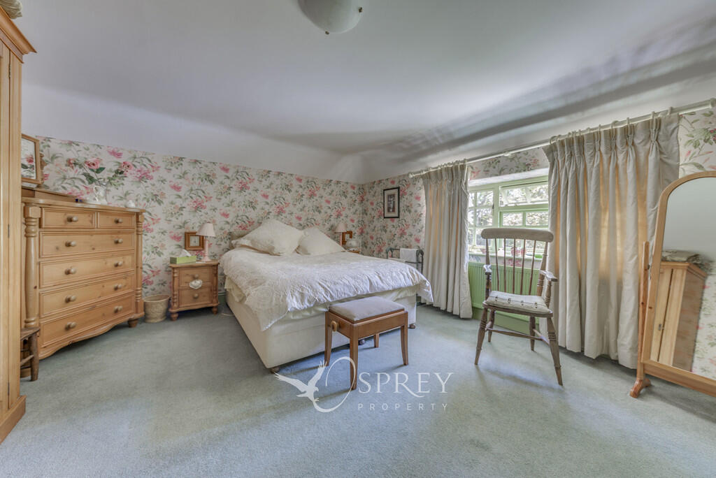
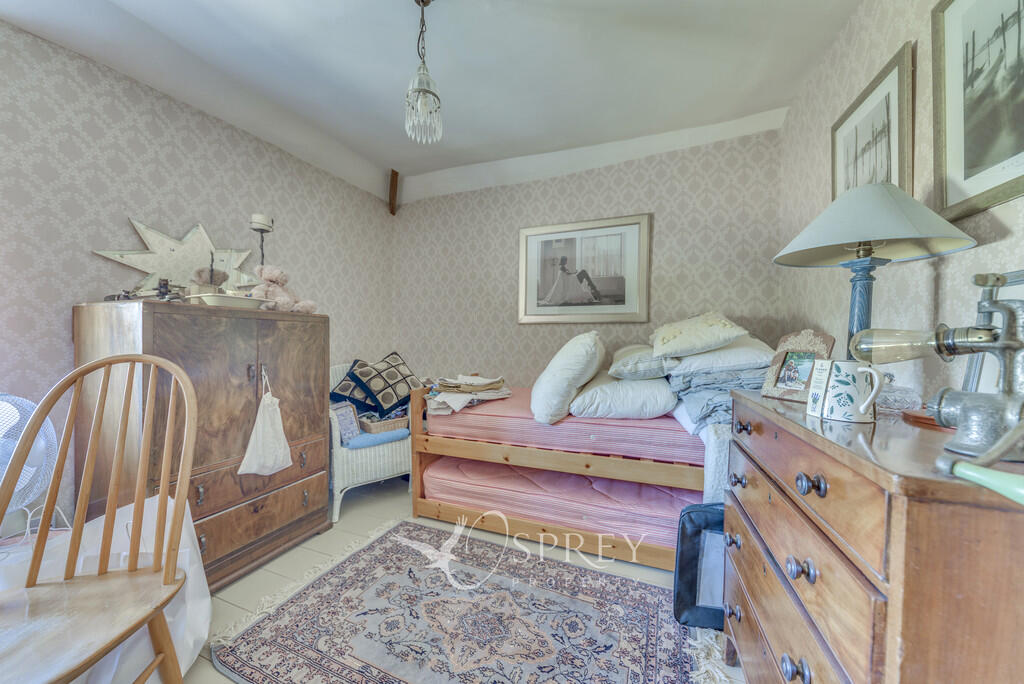
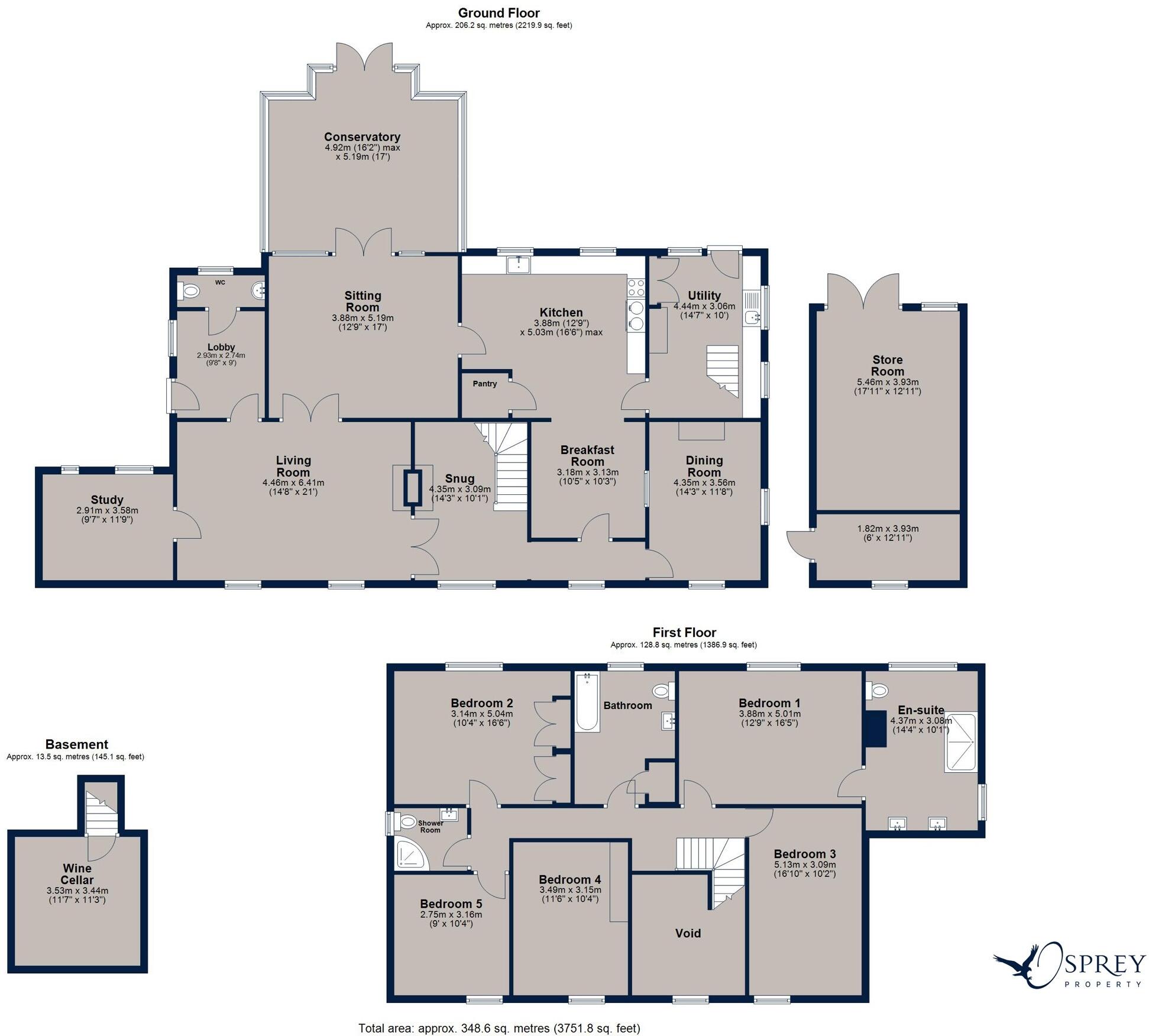
- Bedrooms
- 5
- Bathrooms
- 3
The heatmap indicates the level of crime in the area. The color of the heatmap indicates the crime severity and recency.
Metrics Year-on-Year
- Average area value
- 456,979.00 £Decreased by 5.11 %
- Average area rental value
- 1,544.00 £/moIncreased by 21.96 %
- Est rental Yield
- 4.05 %Increased by 28.57 %
- Crime Rate
- 0.00 %
from 481,596.00 £
from 1,266.00 £/mo
from 3.15 %
from 0.00 %
Agent Activity
Osprey created the listing.
Nearby Schools
| Name | Type | Ofsted | Distance |
|---|---|---|---|
| Glapthorn Church Of England Primary School | Academy Converter | 0.48 KM | |
| Oundle Church Of England Primary School | Academy Converter | 2.77 KM | |
| Oundle Children'S Centre | Children's Centre | 3.40 KM | |
| Oundle School | Other Independent School | 3.90 KM | |
| Laxton Junior School | Other Independent School | 4.40 KM |
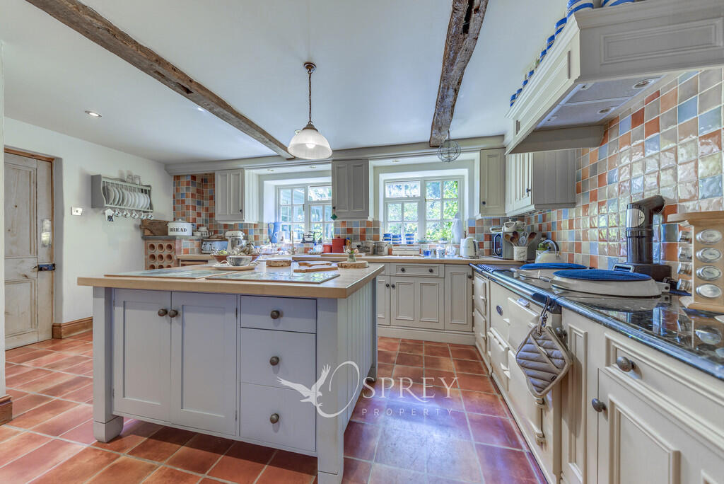
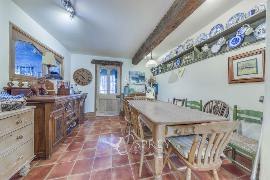
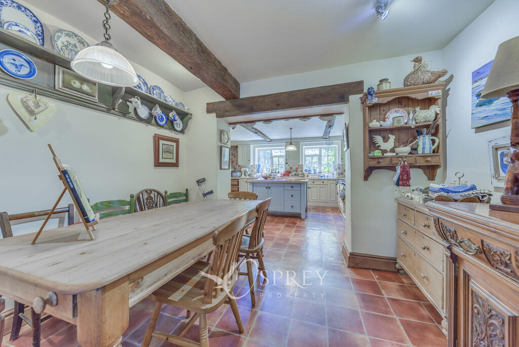
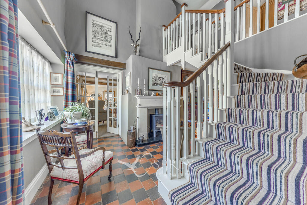
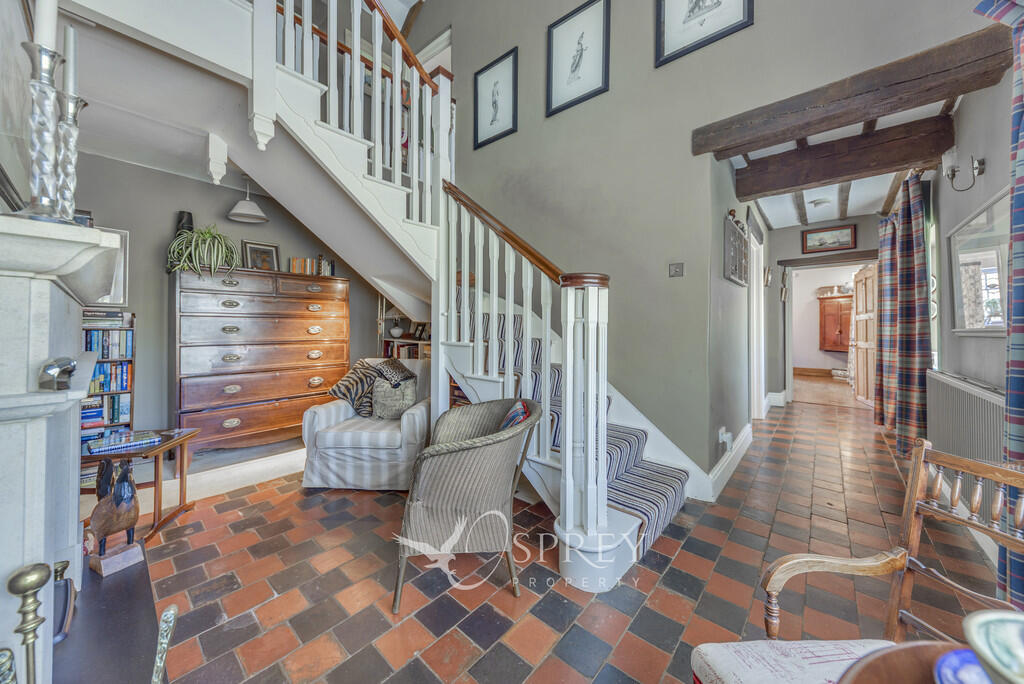
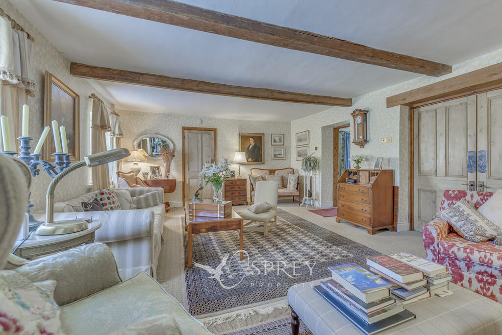
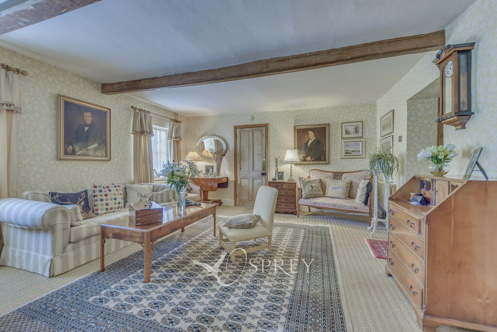
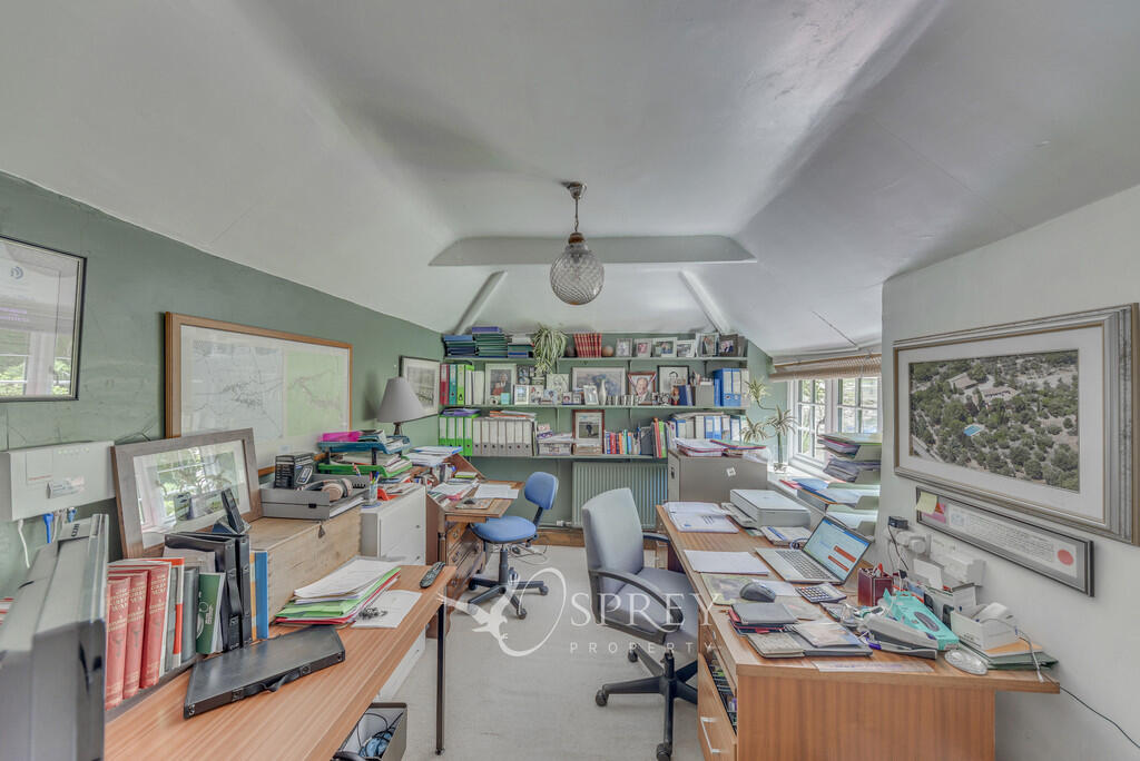
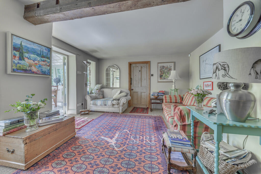
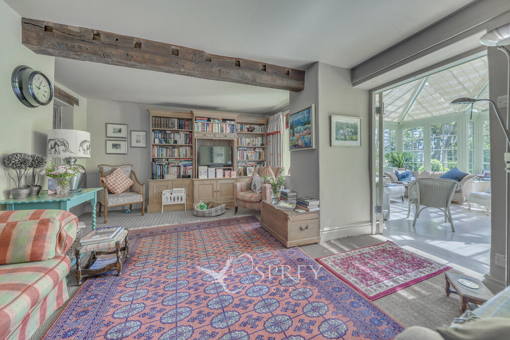
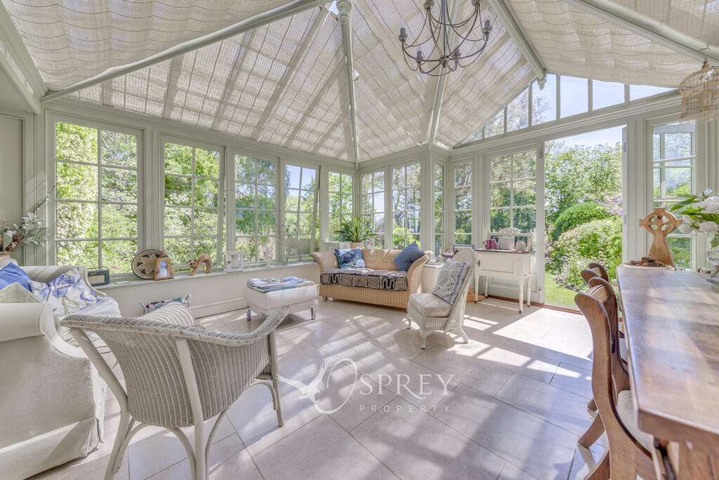
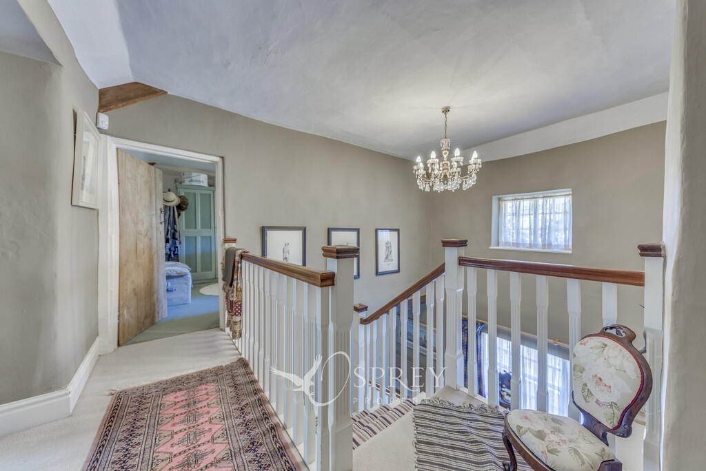
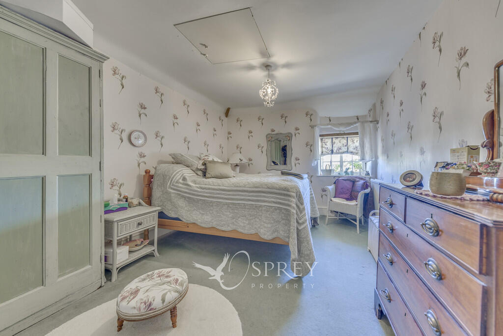
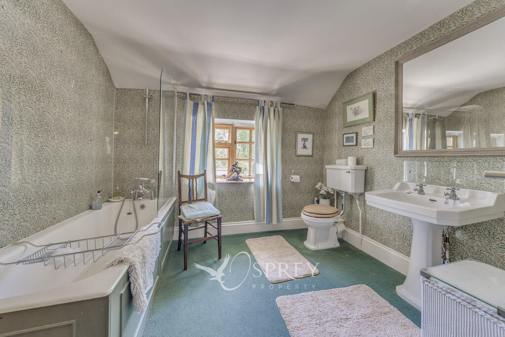
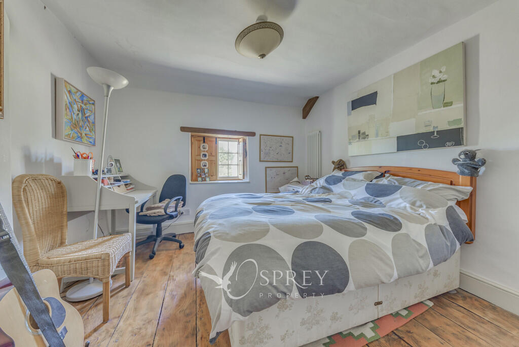
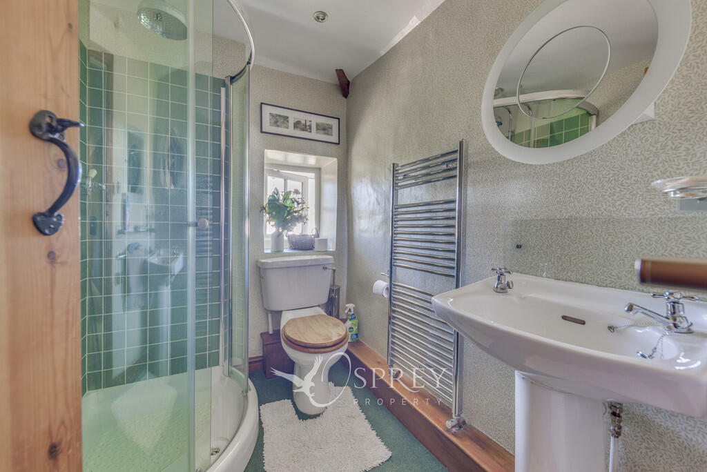
Images

Nearby Streets
| Name | Average Price | Average Sqft | Distance |
|---|---|---|---|
| Brookside | £ 0 | 0 | 0.00 KM |
Nearby Listings
| Address | Price | Type | Score | Distance |
|---|---|---|---|---|
| Crown House | £ 3,000 | RENT | Unknown | 0.00 KM |
| Main Street, Southwick | £ 1,800 | RENT | Unknown | 1.57 KM |
| Main Street, Southwick, Peterborough | £ 1,250 | RENT | Unknown | 1.60 KM |
Nearby Properties
| Address | Price | Distance |
|---|---|---|
| 8 Brookside | £ 186,200 | 0.19 KM |
| 9 Brookside | £ 318,000 | 0.19 KM |
| 14 Brookside | £ 52,650 | 0.19 KM |
| 3 Brookside | £ 24,320 | 0.20 KM |
| 11 Brookside | £ 307,000 | 0.20 KM |