HA
Long Lane, UXBRIDGE
By haart
£ 2,200
haart says ..
**NO DEPOSIT OPTION AVAILABLE**
- Bedrooms
- 3
- Bathrooms
- 1
The heatmap indicates the level of crime in the area. The color of the heatmap indicates the crime severity and recency.
Metrics Year-on-Year
- Average area value
- 491,250.00 £Decreased by 2.14 %
- Average area rental value
- 1,654.00 £/moDecreased by 17.30 %
- Est rental Yield
- 4.04 %Decreased by 15.48 %
- Crime Rate
- 3.00 %Unchanged by 0.00 %
from 502,018.00 £
from 2,000.00 £/mo
from 4.78 %
from 3.00 %
Agent Activity
haart created the listing.
Nearby Schools
| Name | Type | Ofsted | Distance |
|---|---|---|---|
| St Helen'S College | Other Independent School | 0.27 KM | |
| Oak Farm Children'S Centre | Children's Centre | 0.35 KM | |
| Oak Farm Primary School | Foundation School | Outstanding | 0.36 KM |
| St Bernadette Catholic Primary School | Voluntary Aided School | Good | 0.78 KM |
| Oak Wood School | Foundation School | Requires improvement | 1.10 KM |
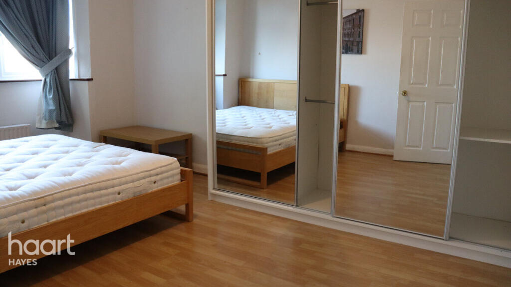
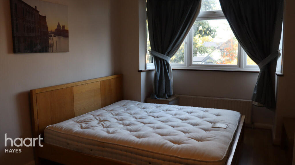
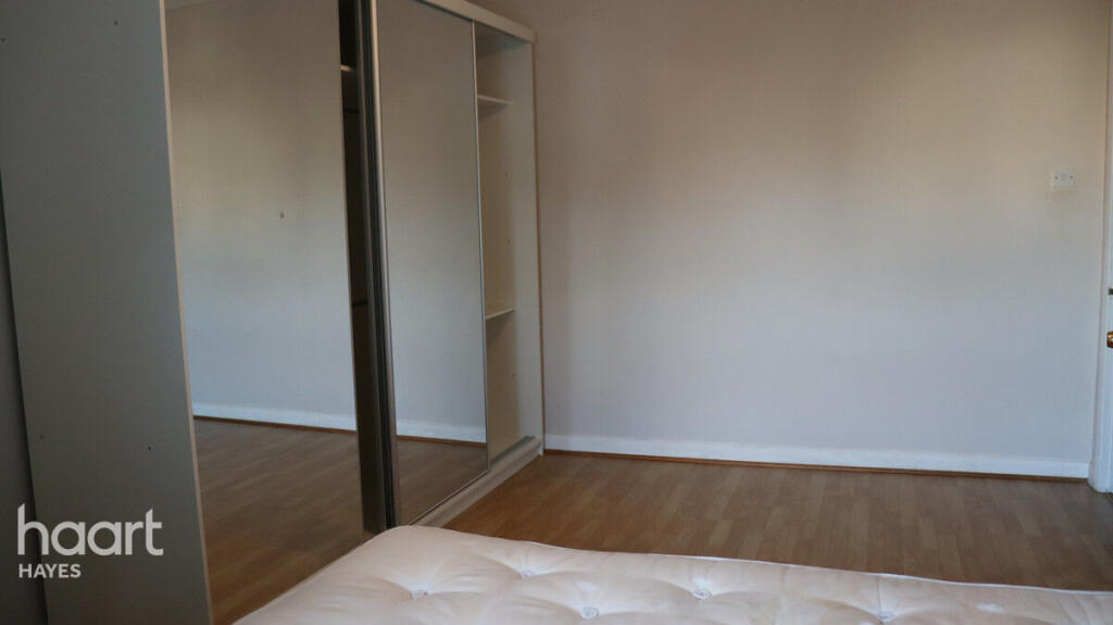
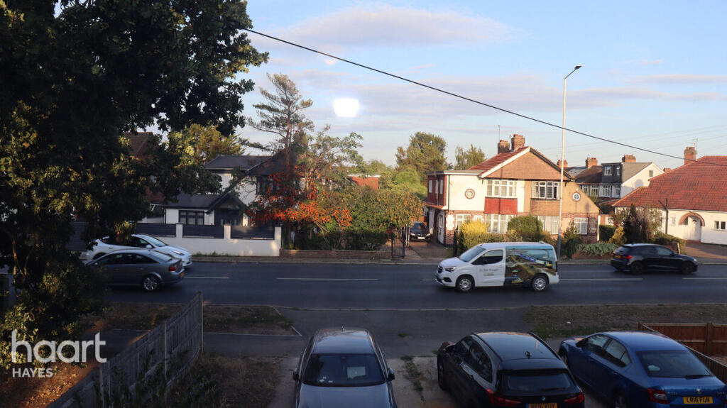
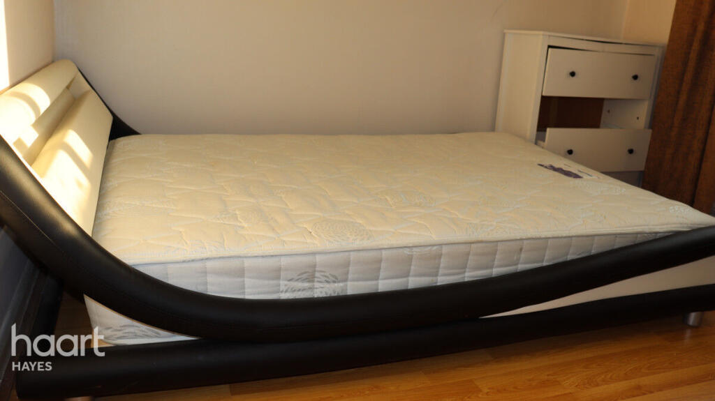
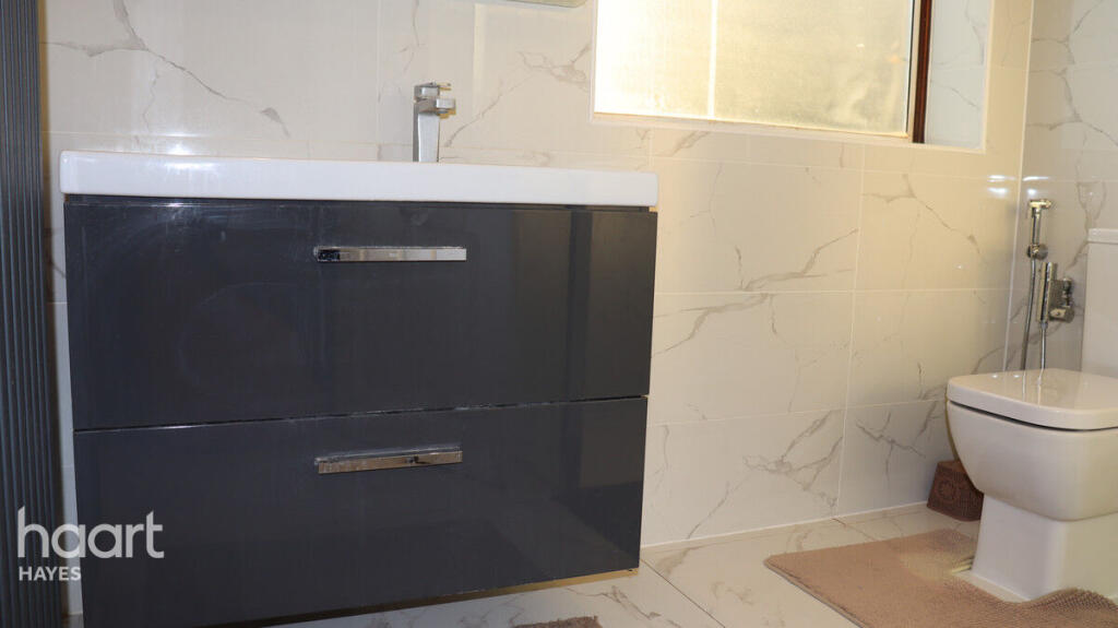
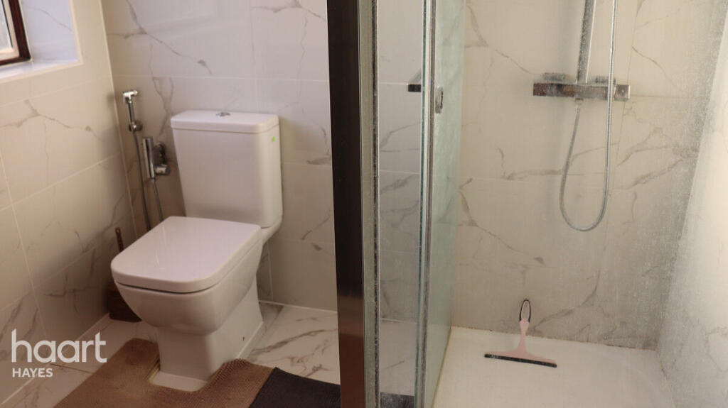
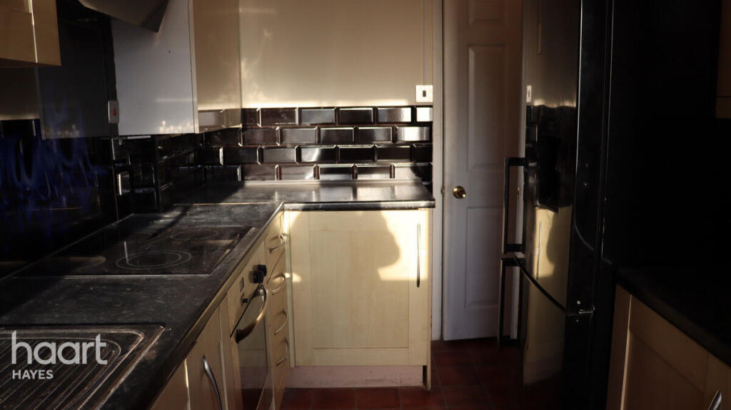
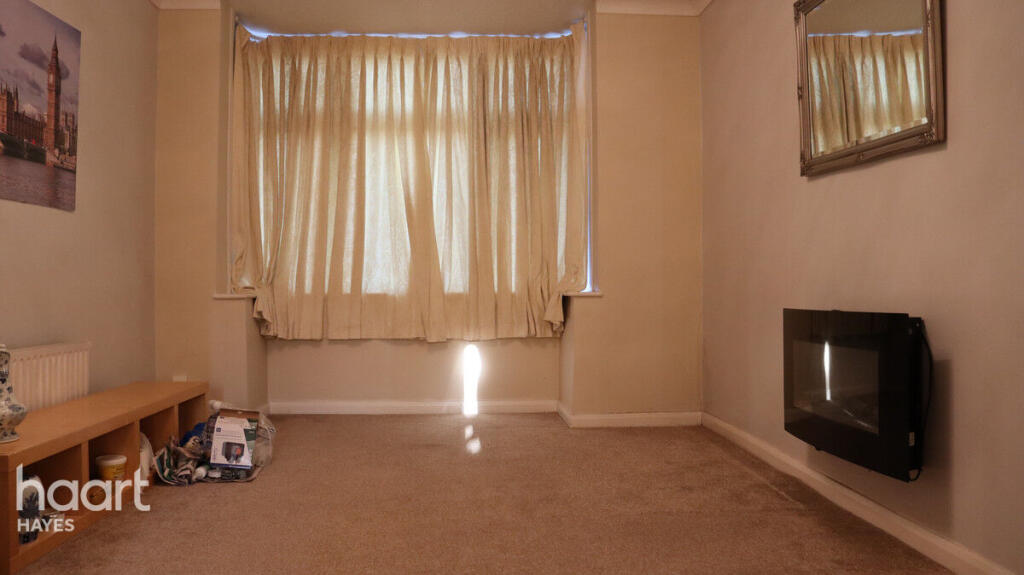
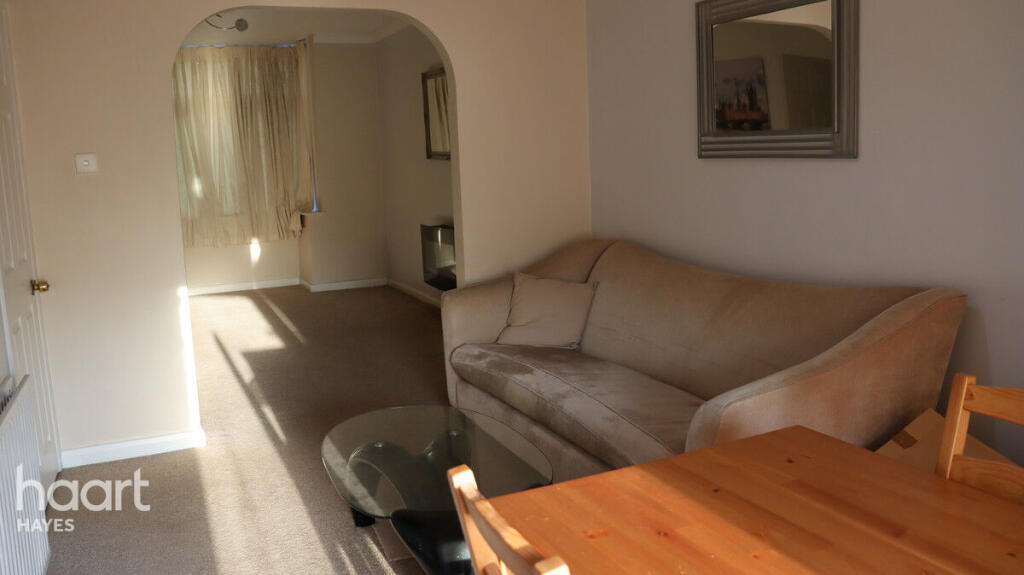
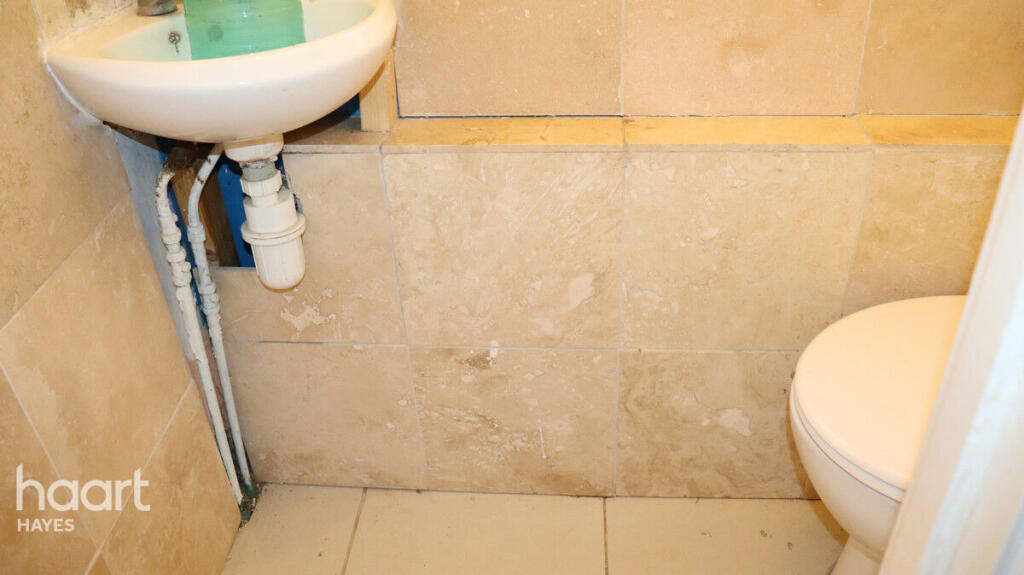
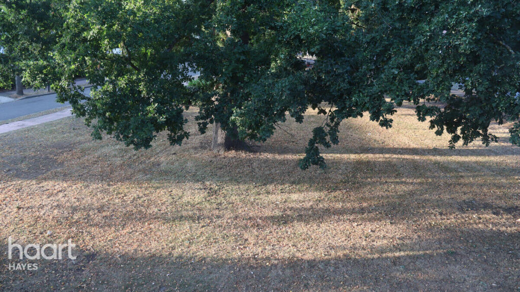
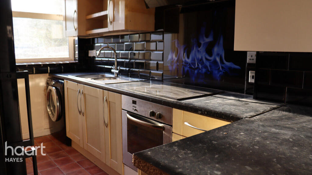
Images


Nearby Streets
| Name | Average Price | Average Sqft | Distance |
|---|---|---|---|
| Auriol Drive | £ 220,909 | 0 | 0.00 KM |
| Western Avenue | £ 0 | 0 | 0.00 KM |
| Haymaker Close | £ 0 | 0 | 0.00 KM |
| The Oaks | £ 0 | 0 | 0.00 KM |
| The Crossway | £ 0 | 0 | 0.00 KM |
Nearby Transport
| Name | NLC | TLC | Distance |
|---|---|---|---|
| West Ruislip | 3059 | WRU | 2.86 KM |
| West Drayton | 3174 | WDT | 4.81 KM |
| South Ruislip | 3057 | SRU | 5.67 KM |
| Hayes And Harlington | 3186 | HAY | 5.82 KM |
| Denham | 3052 | DNM | 6.38 KM |
Nearby Listings
| Address | Price | Type | Score | Distance |
|---|---|---|---|---|
| Long Lane, UXBRIDGE | £ 2,200 | RENT | Unknown | 0.00 KM |
| Long Lane, Hillingdon, Uxbridge, UB10 | £ 2,000 | RENT | Unknown | 0.00 KM |
| Long Lane, Hillingdon, Greater London, UB10 | £ 2,200 | RENT | Unknown | 0.12 KM |
| Ryefield Avenue, Uxbridge, Greater London, UB10 | £ 810 | RENT | Unknown | 0.23 KM |
| Long Lane, Hillingdon, UB10 | £ 1,090 | RENT | Unknown | 0.26 KM |
Nearby Properties
| Address | Price | Distance |
|---|---|---|
| 292 Long Lane | £ 325,000 | 0.05 KM |
| 298 Long Lane | £ 435,000 | 0.05 KM |
| 300 Long Lane | £ 475,000 | 0.05 KM |
| 268 Long Lane | £ 287,000 | 0.05 KM |
| 280 Long Lane | £ 325,000 | 0.05 KM |