BR
Cundiff Road,M21
By Bridgfords Lettings
£ 1,080
Bridgfords Lettings says ..
FULLY BOOKED FOR VIEWINGS
- Bedrooms
- 3
- Bathrooms
- 1
The heatmap indicates the level of crime in the area. The color of the heatmap indicates the crime severity and recency.
Metrics Year-on-Year
- Average area value
- 315,500.00 £Decreased by 23.05 %
- Average area rental value
- 1,397.00 £/moDecreased by 1.41 %
- Est rental Yield
- 5.31 %Increased by 27.95 %
- Crime Rate
- 50.00 %Unchanged by 0.00 %
from 410,016.00 £
from 1,417.00 £/mo
from 4.15 %
from 50.00 %
Agent Activity
Bridgfords Lettings created the listing.
Nearby Schools
| Name | Type | Ofsted | Distance |
|---|---|---|---|
| Brookburn Community School | Academy Converter | 0.72 KM | |
| Chorlton Park Primary | Academy Converter | 0.80 KM | |
| Manchester Islamic Grammar School For Girls | Other Independent School | Outstanding | 0.93 KM |
| Chorlton Cofe Primary School | Voluntary Controlled School | Outstanding | 1.11 KM |
| Barlow Hall Primary School | Academy Converter | Good | 1.15 KM |
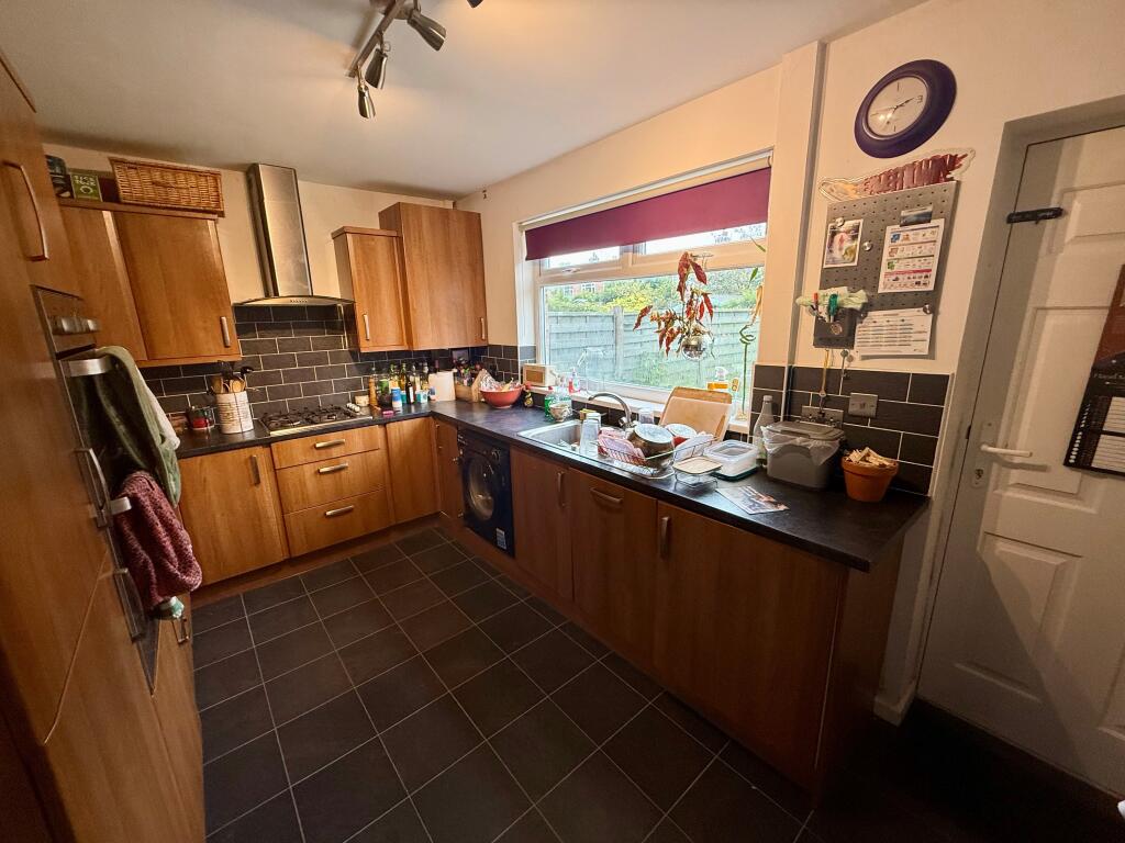
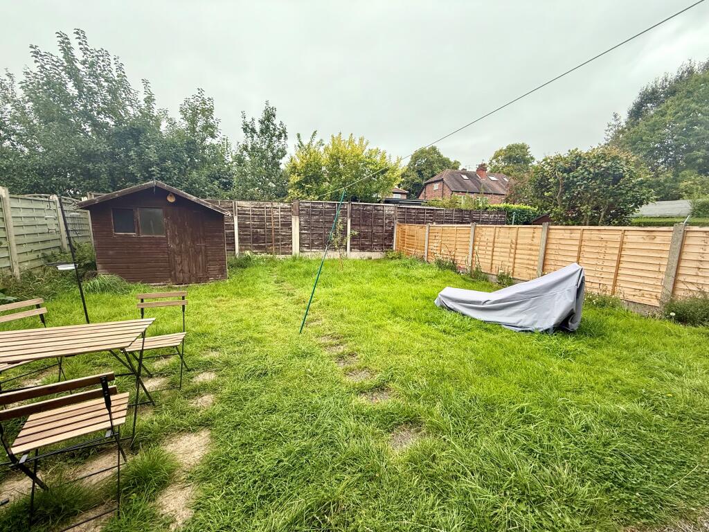
Images

Nearby Streets
| Name | Average Price | Average Sqft | Distance |
|---|---|---|---|
| Oakhouse Drive | £ 230,000 | 0 | 0.00 KM |
| Beech Mews | £ 0 | 0 | 0.00 KM |
| Dawlish Road | £ 550,000 | 0 | 0.00 KM |
| Devonshire Road | £ 685,000 | 0 | 0.00 KM |
| Ellesmere Road South | £ 0 | 0 | 0.00 KM |
Nearby Transport
| Name | NLC | TLC | Distance |
|---|---|---|---|
| Manchester United Football Ground | 2996 | MUF | 3.63 KM |
| Trafford Park | 2969 | TRA | 4.47 KM |
| Deansgate | 2963 | DGT | 5.46 KM |
| Humphrey Park | 2937 | HUP | 6.00 KM |
| Salford Crescent | 2794 | SLD | 6.02 KM |
Nearby Listings
| Address | Price | Type | Score | Distance |
|---|---|---|---|---|
| Cundiff Road,M21 | £ 1,080 | RENT | Unknown | 0.00 KM |
| Hurstville Road, Manchester, M21 | £ 2,600 | RENT | Unknown | 0.09 KM |
| South Drive, Chorltonville, Manchester, M21 | £ 2,950 | RENT | Unknown | 0.13 KM |
| Hardy Lane, Chorlton | £ 2,550 | RENT | Unknown | 0.19 KM |
| Hardy Lane, Manchester | £ 1,800 | RENT | Unknown | 0.20 KM |
Nearby Properties
| Address | Price | Distance |
|---|---|---|
| 27 Cundiff Road | £ 130,000 | 0.00 KM |
| 37 Cundiff Road | £ 367,860 | 0.00 KM |
| 19 Cundiff Road | £ 350,000 | 0.00 KM |
| 1 Cundiff Road | £ 307,000 | 0.00 KM |
| 9 Cundiff Road | £ 142,500 | 0.00 KM |