
LE
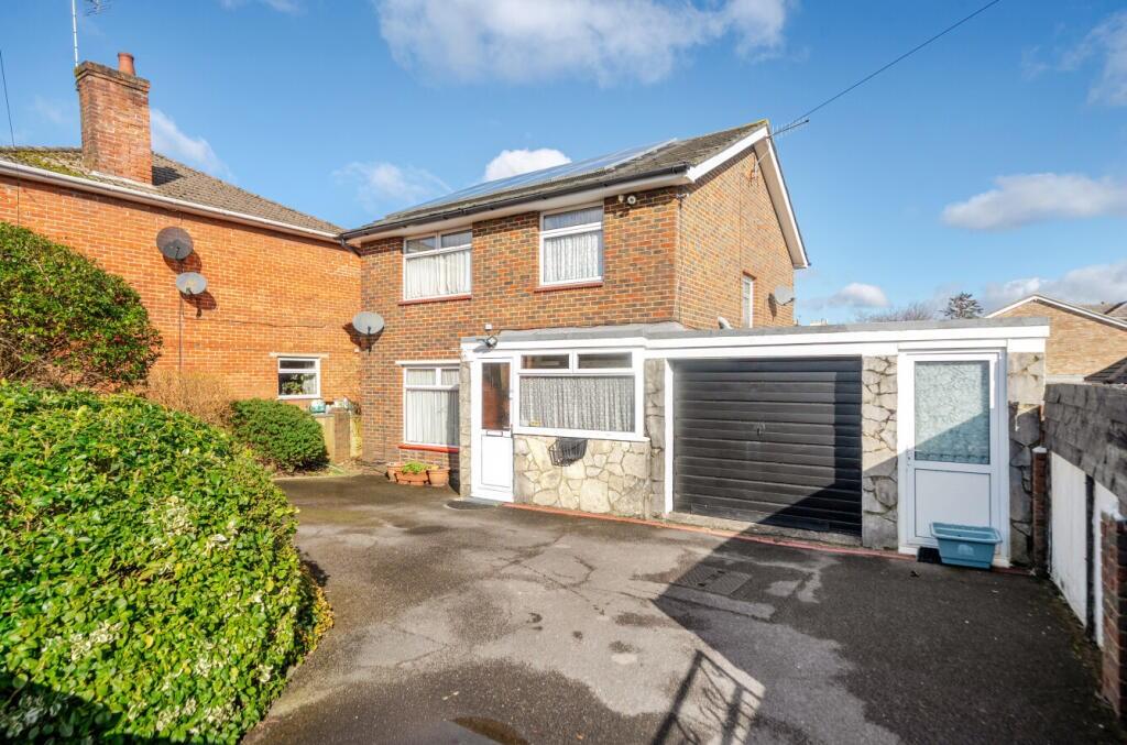
Holland Road, Southampton, Hampshire, SO19
By Leadenhall Estates
£ 400,000
Leadenhall Estates says ..
CHAIN FREE
- Bedrooms
- 3
- Bathrooms
- 2
The heatmap indicates the level of crime in the area. The color of the heatmap indicates the crime severity and recency.
Metrics Year-on-Year
- Average area value
- 232,143.00 £Decreased by 14.25 %
- Average area rental value
- 1,581.00 £/moIncreased by 2.13 %
- Est rental Yield
- 8.17 %Increased by 19.10 %
- Crime Rate
- 21.00 %Unchanged by 0.00 %
from 270,720.00 £
from 1,548.00 £/mo
from 6.86 %
from 21.00 %
Agent Activity
Leadenhall Estates created the listing.
Nearby Schools
| Name | Type | Ofsted | Distance |
|---|---|---|---|
| Woolston Infant School | Academy Converter | 0.45 KM | |
| Woolston Sure Start Children Centre | Children's Centre | 0.64 KM | |
| St Patrick'S Catholic Primary School | Voluntary Aided School | Good | 0.73 KM |
| Ludlow Infant Academy | Academy Converter | Good | 1.04 KM |
| Ludlow Junior School | Academy Converter | Good | 1.20 KM |
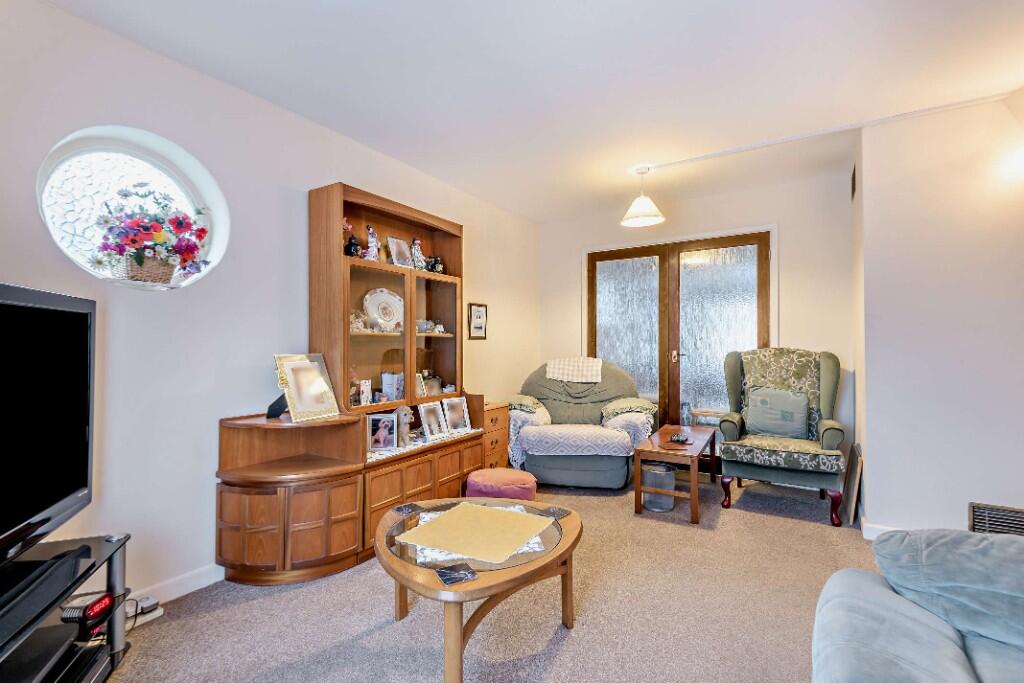
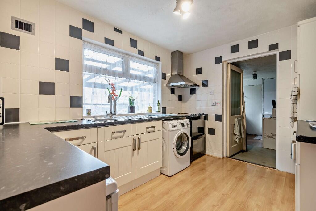
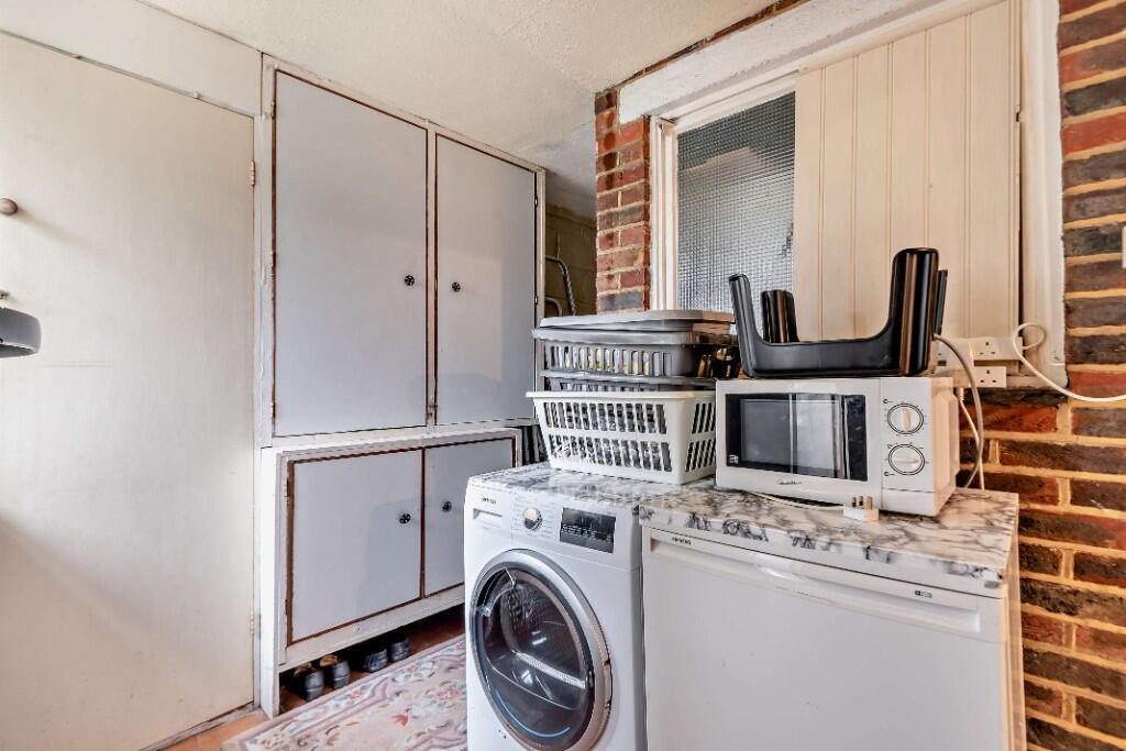
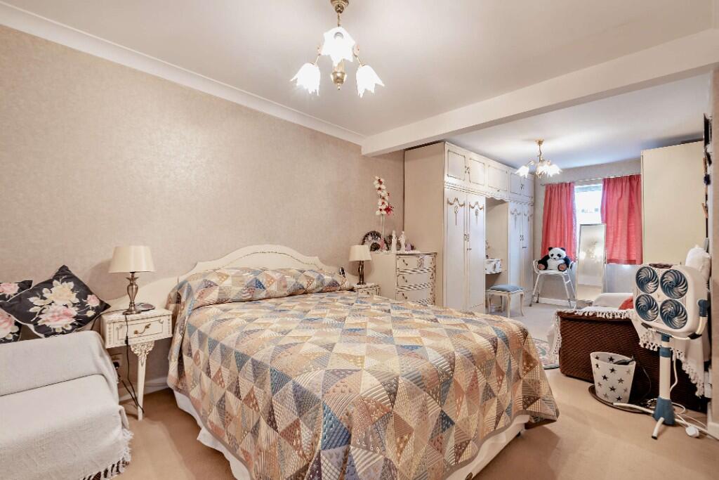
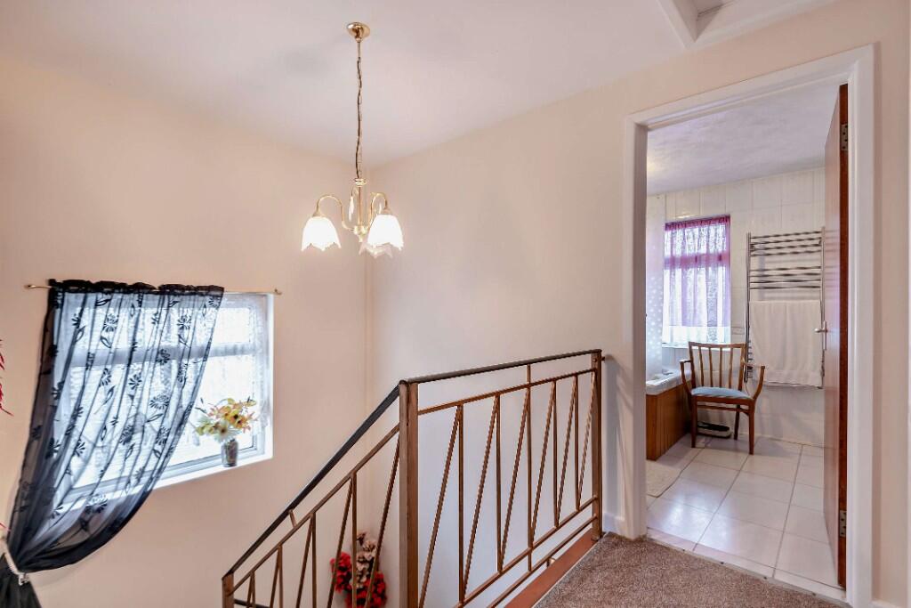
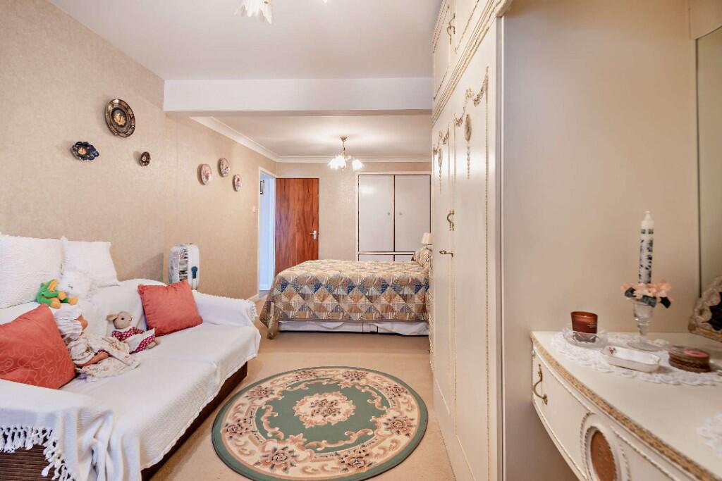
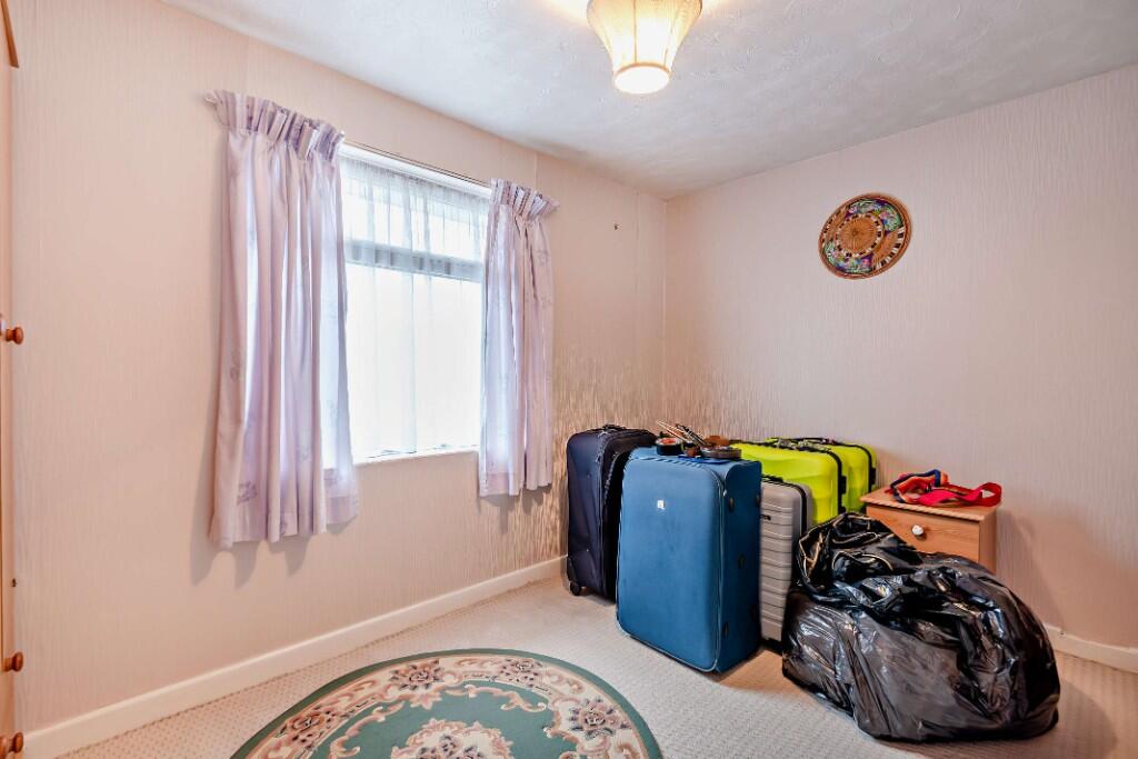
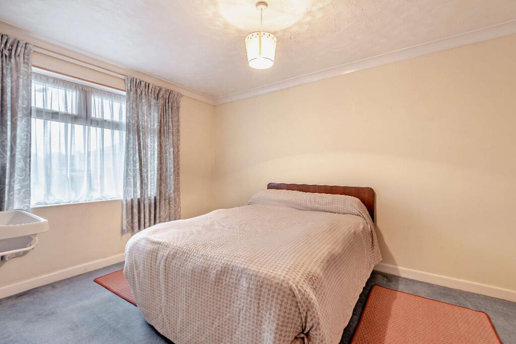
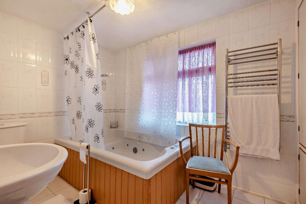
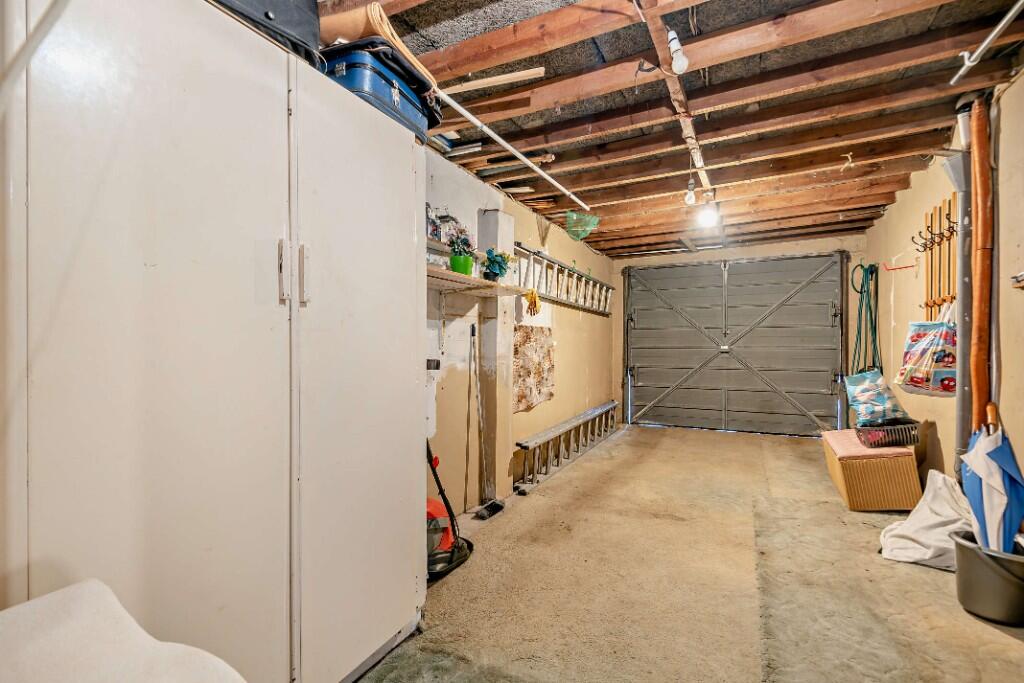
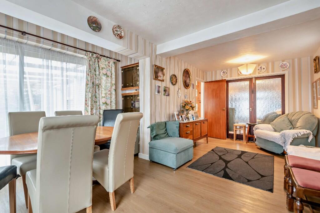
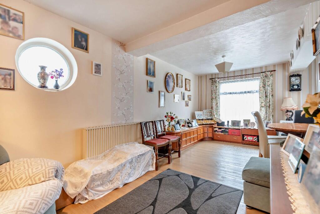
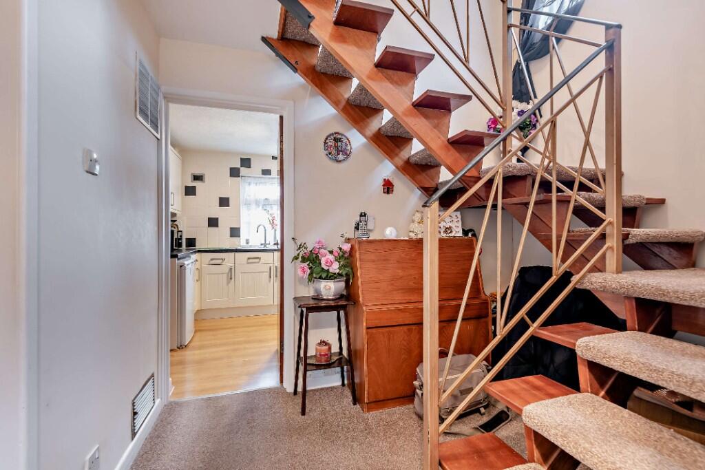
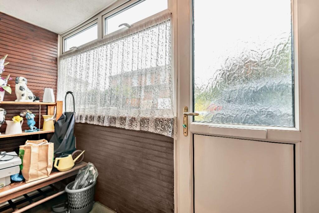
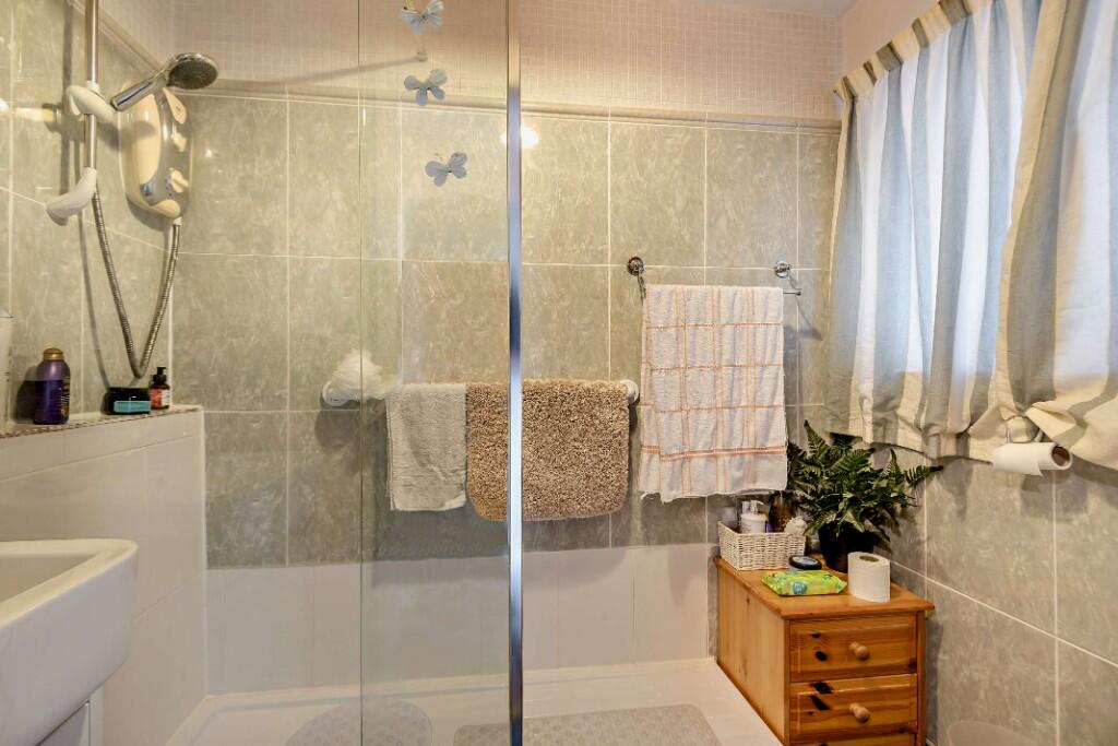
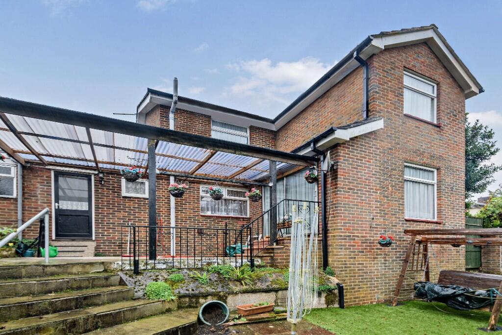
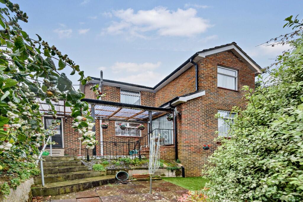
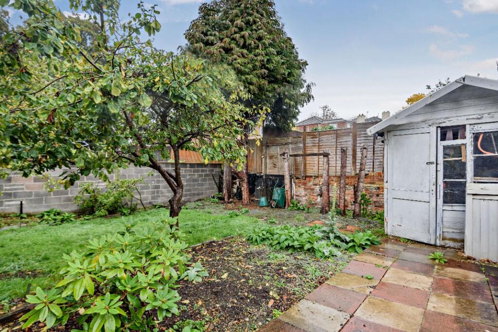
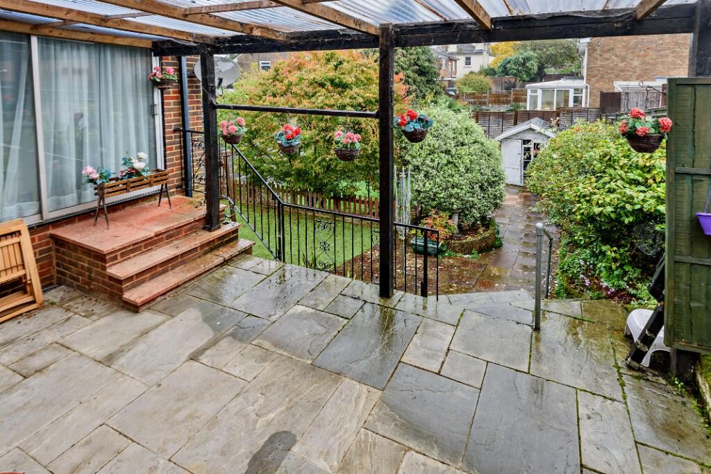
Images


Nearby Streets
| Name | Average Price | Average Sqft | Distance |
|---|---|---|---|
| Foundry Court | £ 0 | 0 | 0.00 KM |
| Portsmouth Road | £ 0 | 0 | 0.00 KM |
| Enfield Grove | £ 150,000 | 0 | 0.00 KM |
| Canute Road | £ 95,000 | 0 | 0.00 KM |
| Sea Road | £ 0 | 0 | 0.00 KM |
Nearby Transport
| Name | NLC | TLC | Distance |
|---|---|---|---|
| Woolston | 5925 | WLS | 0.54 KM |
| Sholing | 5930 | SHO | 1.51 KM |
| Bitterne | 5945 | BTE | 2.67 KM |
| St Denys | 5914 | SDN | 3.28 KM |
| Southampton Central | 5932 | SOU | 4.17 KM |
Nearby Listings
| Address | Price | Type | Score | Distance |
|---|---|---|---|---|
| Holland Road, Southampton, Hampshire, SO19 | £ 400,000 | BUY | Unknown | 0.00 KM |
| Holland Road, Woolston | £ 375,000 | BUY | 7 / 10 | 0.01 KM |
| Surrey Road, Woolston, Southampton, Hampshire, SO19 | £ 220,000 | BUY | 5 / 10 | 0.05 KM |
| Mirabella Close, Woolston, Southampton, SO19 | £ 190,000 | BUY | 6 / 10 | 0.09 KM |
| Mirabella Close, Woolston, Southampton, SO19 | £ 190,000 | BUY | 7 / 10 | 0.09 KM |
Nearby Properties
| Address | Price | Distance |
|---|---|---|
| 5 Holland Road | £ 182,000 | 0.00 KM |
| 1 Surrey Road | £ 172,500 | 0.05 KM |
| 4 Surrey Road | £ 205,001 | 0.05 KM |
| 15 Surrey Road | £ 210,000 | 0.05 KM |
| 13 Surrey Road | £ 267,500 | 0.05 KM |