
ST
Chelsea Bridge Wharf, Battersea, SW11
By STANLEY PROPRTY LONDON
£ 2,250
STANLEY PROPRTY LONDON says ..
Battersea Park Special
- Bedrooms
- 1
- Bathrooms
- 1
The heatmap indicates the level of crime in the area. The color of the heatmap indicates the crime severity and recency.
Metrics Year-on-Year
- Average area value
- 1,364,463.00 £Increased by 19.24 %
- Average area rental value
- 3,454.00 £/moIncreased by 15.21 %
- Est rental Yield
- 3.04 %Decreased by 3.18 %
- Crime Rate
- 7.00 %Unchanged by 0.00 %
from 1,144,255.00 £
from 2,998.00 £/mo
from 3.14 %
from 7.00 %
Agent Activity
STANLEY PROPRTY LONDON created the listing.
Nearby Schools
| Name | Type | Ofsted | Distance |
|---|---|---|---|
| John Burns Primary School | Community School | Good | 0.28 KM |
| Belleville Wix Academy | Academy Sponsor Led | Good | 0.55 KM |
| Macaulay Church Of England Primary School | Voluntary Aided School | Outstanding | 0.66 KM |
| Shaftesbury Park Primary School | Community School | Good | 0.75 KM |
| Eaton House The Manor School | Other Independent School | 0.79 KM |
Images
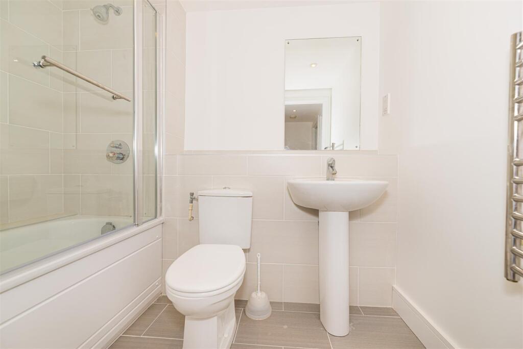
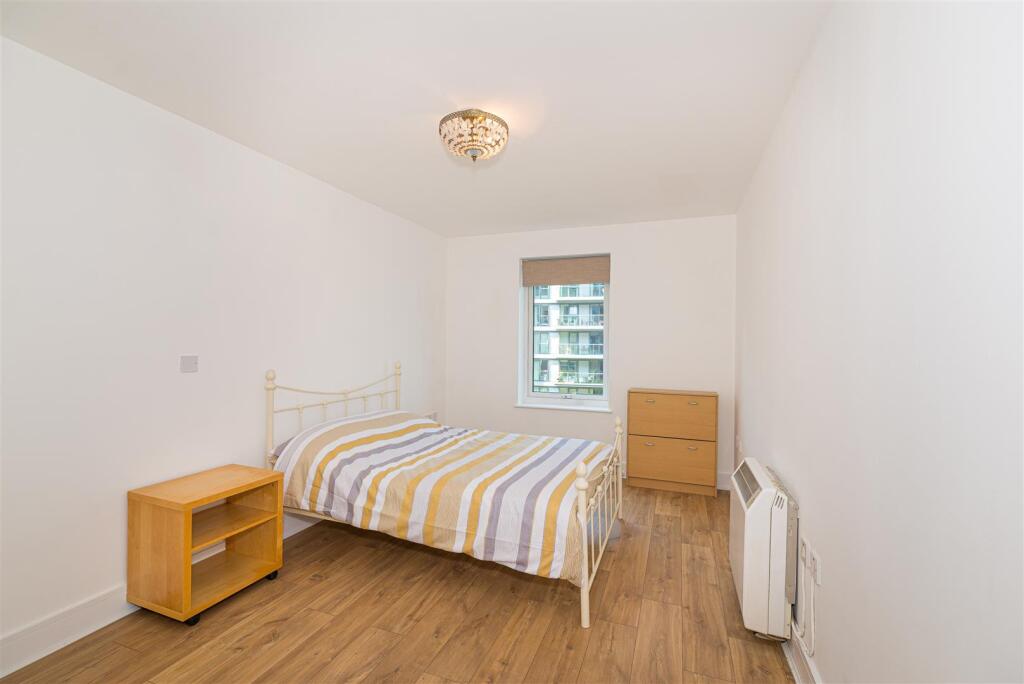
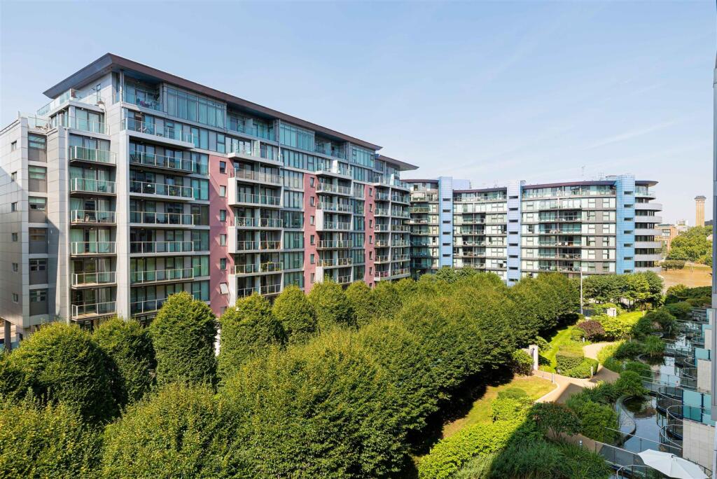
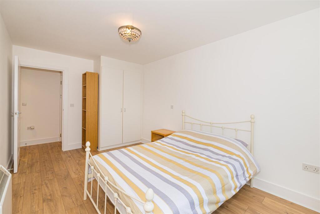
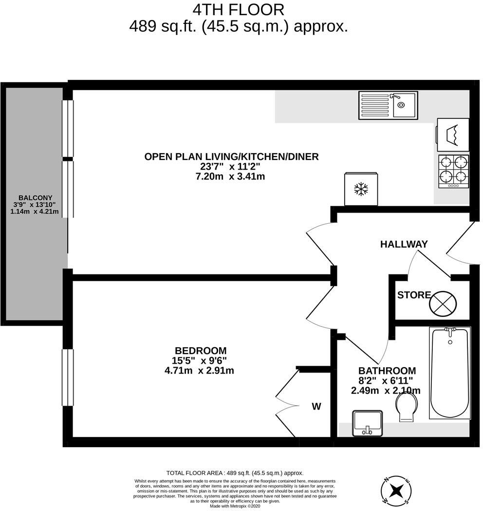
Nearby Streets
| Name | Average Price | Average Sqft | Distance |
|---|---|---|---|
| Heather Close | £ 468,333 | 0 | 0.00 KM |
| Beaufoy Road | £ 0 | 0 | 0.00 KM |
| St. Philip Square | £ 432,500 | 0 | 0.00 KM |
| Lavender Hill | £ 0 | 0 | 0.00 KM |
| Montefiore Street | £ 962,500 | 0 | 0.00 KM |
Nearby Transport
| Name | NLC | TLC | Distance |
|---|---|---|---|
| Queenstown Road (Battersea) | 5596 | QRB | 0.80 KM |
| Battersea Park | 5420 | BAK | 0.96 KM |
| Wandsworth Road | 5372 | WWR | 1.32 KM |
| Clapham High Street | 5301 | CLP | 2.01 KM |
| Clapham Junction | 5595 | CLJ | 2.26 KM |
Nearby Listings
| Address | Price | Type | Score | Distance |
|---|---|---|---|---|
| Queenstown Road London SW8 | £ 2,150 | RENT | Unknown | 0.04 KM |
| Queenstown Road, Battersea SW8 | £ 3,150 | RENT | Unknown | 0.06 KM |
| Queenstown Road | £ 2,000 | RENT | Unknown | 0.06 KM |
| Queenstown Road, London, SW8 | £ 2,500 | RENT | Unknown | 0.06 KM |
| Ingelow Road, Diamond Conservation Area, London, SW8 | £ 2,300 | RENT | Unknown | 0.06 KM |
Nearby Properties
| Address | Price | Distance |
|---|---|---|
| 75a Queenstown Road | £ 686,000 | 0.04 KM |
| 93 Queenstown Road | £ 299,950 | 0.04 KM |
| 77 Queenstown Road | £ 226,000 | 0.04 KM |
| 93b Queenstown Road | £ 310,000 | 0.04 KM |
| 73a Queenstown Road | £ 750,000 | 0.04 KM |