AD
Westgate Road, L15 5BA,
By Address Properties
£ 725
Address Properties says ..
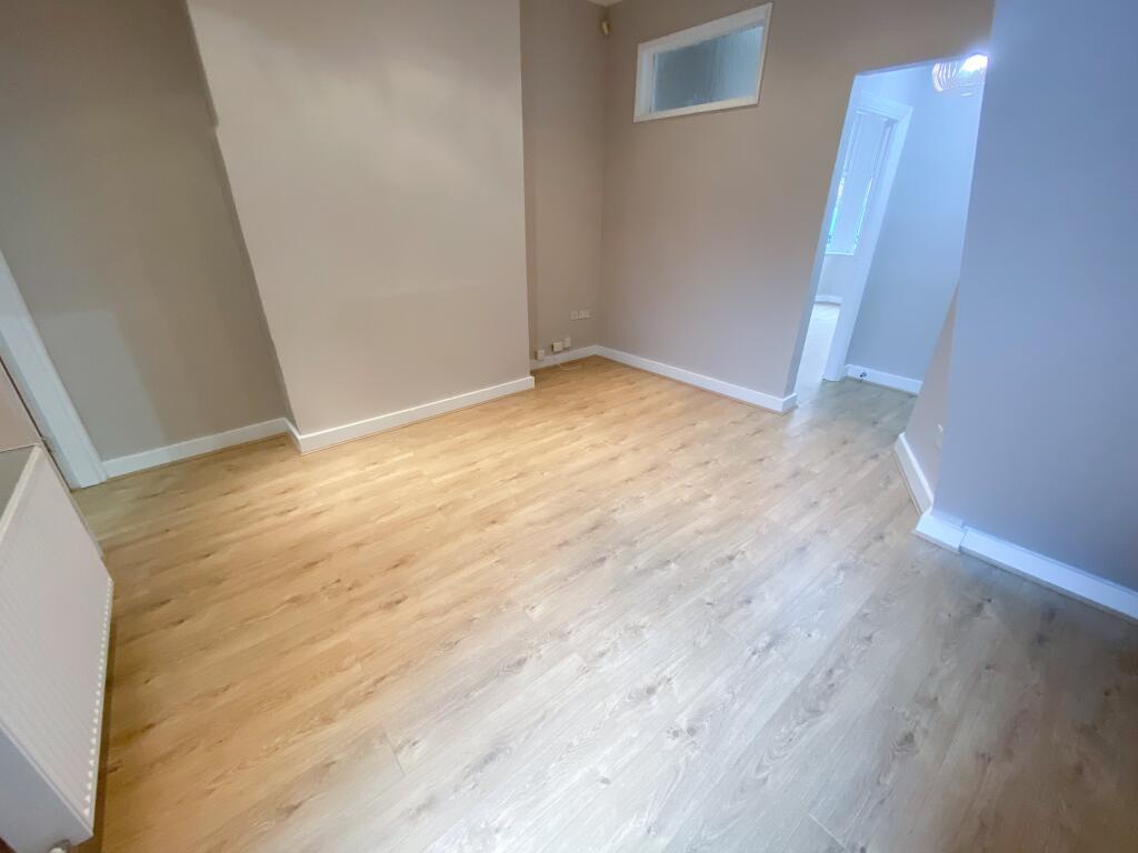
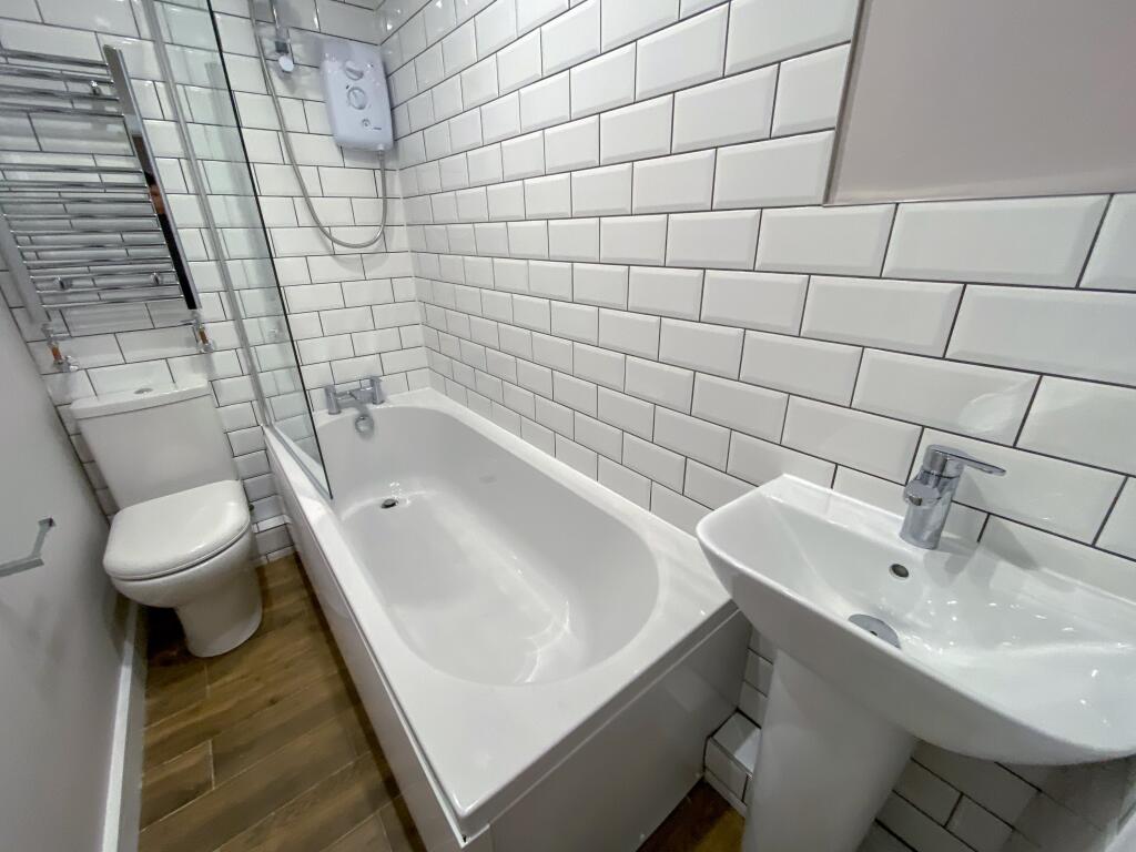
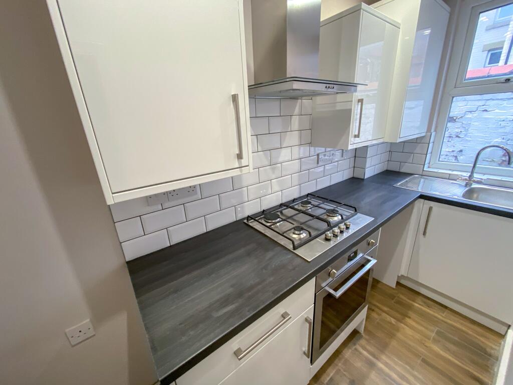
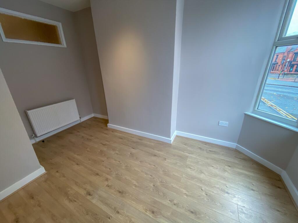
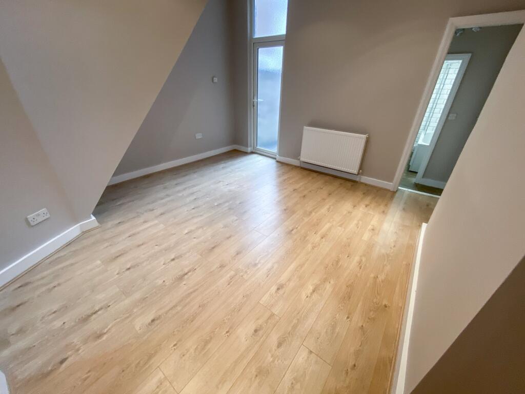
£720.00 PCM -ONE BEDROOM UNFURNISHED APARTMENT - AVAILABLE FROM 23RD JUNE
- Bedrooms
- 1
- Bathrooms
- 1
The heatmap indicates the level of crime in the area. The color of the heatmap indicates the crime severity and recency.
Metrics Year-on-Year
- Average area value
- 303,750.00 £Increased by 22.07 %
- Average area rental value
- 963.00 £/moIncreased by 24.26 %
- Est rental Yield
- 3.80 %Increased by 1.60 %
- Crime Rate
- 20.00 %Unchanged by 0.00 %
from 248,830.00 £
from 775.00 £/mo
from 3.74 %
from 20.00 %
Agent Activity
Address Properties created the listing.
Nearby Schools
| Name | Type | Ofsted | Distance |
|---|---|---|---|
| The Blue Coat School | Academy Converter | Outstanding | 0.41 KM |
| Formerly Church & Mossley Hill Children Centre | Children's Centre Linked Site | 0.47 KM | |
| Dovedale Community Primary School | Community School | Good | 0.47 KM |
| Royal School For The Blind (Liverpool) | Non-maintained Special School | Outstanding | 0.71 KM |
| St Anthony Of Padua Catholic Primary School | Voluntary Aided School | Good | 0.85 KM |
Images
Nearby Streets
| Name | Average Price | Average Sqft | Distance |
|---|---|---|---|
| Westgate Road | £ 0 | 0 | 0.00 KM |
| Pearson Court | £ 198,000 | 0 | 0.00 KM |
| Coventry Road | £ 330,000 | 0 | 0.00 KM |
| Dudley Road | £ 280,000 | 0 | 0.00 KM |
| Glenfield Road | £ 205,000 | 0 | 0.00 KM |
Nearby Transport
| Name | NLC | TLC | Distance |
|---|---|---|---|
| Mossley Hill | 2171 | MSH | 1.15 KM |
| Wavertree Technology Park | 8589 | WAV | 1.92 KM |
| West Allerton | 2266 | WSA | 2.46 KM |
| Aigburth | 2255 | AIG | 3.02 KM |
| Broad Green | 2240 | BGE | 3.13 KM |
Nearby Listings
| Address | Price | Type | Score | Distance |
|---|---|---|---|---|
| Westgate Road, L15 5BA, | £ 900 | RENT | Unknown | 0.00 KM |
| Westgate Road, L15 5BA, | £ 725 | RENT | Unknown | 0.00 KM |
| 39 Kenyon Road LET ONLY | £ 105 | RENT | Unknown | 0.03 KM |
| Kenyon Road, Wavertree, L15 | £ 1,400 | RENT | Unknown | 0.11 KM |
| Smithdown Rd, Liverpool | £ 1,000 | RENT | Unknown | 0.13 KM |
Nearby Properties
| Address | Price | Distance |
|---|---|---|
| 6 Westgate Road | £ 180,000 | 0.03 KM |
| 21 Kenyon Road | £ 162,500 | 0.03 KM |
| 47 Kenyon Road | £ 217,500 | 0.03 KM |
| 15 Kenyon Road | £ 139,000 | 0.03 KM |
| 37 Kenyon Road | £ 265,000 | 0.03 KM |