
BE
Hoxton Wharf
By Bennett Mason
£ 1,850
Bennett Mason says ..
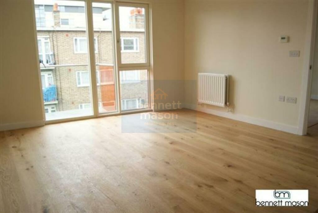
A spacious one bedroom apartment with a balcony terrace.
- Bedrooms
- 1
- Bathrooms
- 1
The heatmap indicates the level of crime in the area. The color of the heatmap indicates the crime severity and recency.
Metrics Year-on-Year
- Average area value
- 804,500.00 £Decreased by 41.52 %
- Average area rental value
- 2,869.00 £/moIncreased by 1.88 %
- Est rental Yield
- 4.28 %Increased by 73.98 %
- Crime Rate
- 2.00 %Unchanged by 0.00 %
from 1,375,763.00 £
from 2,816.00 £/mo
from 2.46 %
from 2.00 %
Agent Activity
Bennett Mason created the listing.
Nearby Schools
| Name | Type | Ofsted | Distance |
|---|---|---|---|
| Rosemary Works School | Other Independent School | 0.22 KM | |
| Shoreditch Park Primary School | Community School | Outstanding | 0.25 KM |
| Rotherfield Primary School | Community School | Good | 0.38 KM |
| Hackney New Primary School | Free Schools | Outstanding | 0.54 KM |
| Thomas Fairchild Community School | Community School | Requires improvement | 0.55 KM |
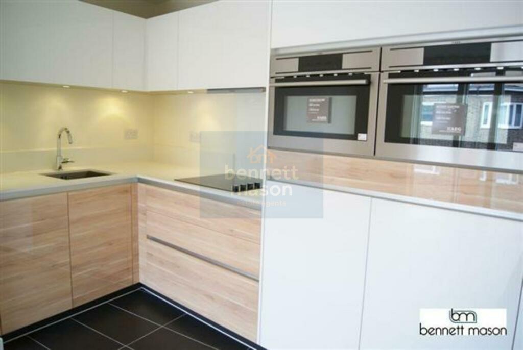
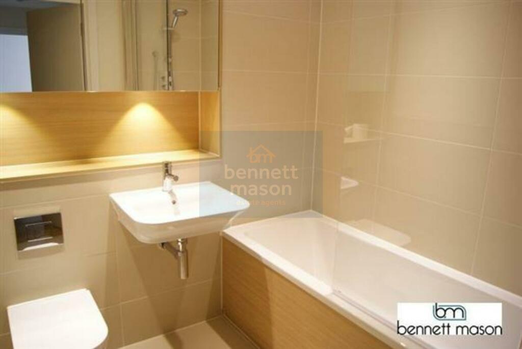
Images
Nearby Streets
| Name | Average Price | Average Sqft | Distance |
|---|---|---|---|
| New North Road | £ 0 | 0 | 0.00 KM |
| Park Place | £ 730,833 | 0 | 0.00 KM |
| Hullbridge Mews | £ 0 | 0 | 0.00 KM |
| Forston Street | £ 550,000 | 0 | 0.00 KM |
| Linton Street | £ 0 | 0 | 0.00 KM |
Nearby Transport
| Name | NLC | TLC | Distance |
|---|---|---|---|
| Essex Road | 6004 | EXR | 1.07 KM |
| Old Street | 6003 | OLD | 1.19 KM |
| Haggerston | 1022 | HGG | 1.34 KM |
| Hoxton | 1023 | HOX | 1.43 KM |
| Canonbury | 1441 | CNN | 1.46 KM |
Nearby Listings
| Address | Price | Type | Score | Distance |
|---|---|---|---|---|
| Wiltshire Row, Hoxton, London, N1 | £ 3,350 | RENT | Unknown | 0.00 KM |
| Wiltshire Row, Hoxton, London, N1 | £ 3,500 | RENT | Unknown | 0.00 KM |
| Wiltshire Row, Hoxton, London, N1 | £ 2,700 | RENT | Unknown | 0.00 KM |
| Wiltshire Row, Hoxton, London, N1 | £ 3,500 | RENT | Unknown | 0.00 KM |
| Devizes Street, Shoreditch, London, N1 | £ 2,300 | RENT | Unknown | 0.02 KM |
Nearby Properties
| Address | Price | Distance |
|---|---|---|
| 25 Baring Street | £ 485,000 | 0.10 KM |
| 37 Baring Street | £ 168,000 | 0.10 KM |
| 30 Baring Street | £ 1,000,000 | 0.10 KM |
| 39 Baring Street | £ 1,400,000 | 0.10 KM |
| 31 Baring Street | £ 153,000 | 0.10 KM |