ST
The Gables, Wellington
By Stags
£ 70
Stags says ..
No summary available.
- Bedrooms
- 0
- Bathrooms
- 0
The heatmap indicates the level of crime in the area. The color of the heatmap indicates the crime severity and recency.
Metrics Year-on-Year
- Average area value
- 297,488.00 £Increased by 12.97 %
- Average area rental value
- 1,013.00 £/moIncreased by 0.70 %
- Est rental Yield
- 4.09 %Decreased by 10.70 %
- Crime Rate
- 3.00 %Unchanged by 0.00 %
from 263,339.00 £
from 1,006.00 £/mo
from 4.58 %
from 3.00 %
Agent Activity
Stags created the listing.
Nearby Schools
| Name | Type | Ofsted | Distance |
|---|---|---|---|
| Beech Grove Primary School | Community School | Requires improvement | 0.19 KM |
| West Taunton Deane | Children's Centre | 0.26 KM | |
| Court Fields School | Academy Sponsor Led | Requires improvement | 0.43 KM |
| Isambard Kingdom Brunel Primary School | Free Schools | 1.12 KM | |
| Wellington School | Other Independent School | 1.17 KM |
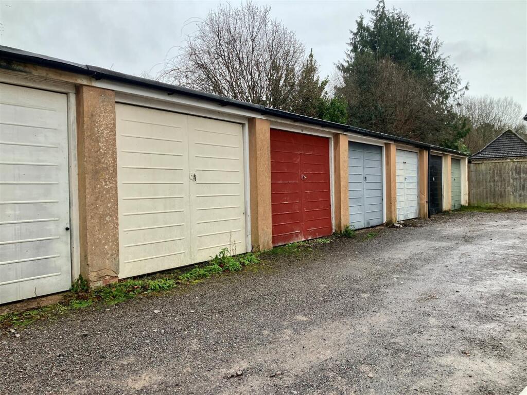
Images
Nearby Streets
| Name | Average Price | Average Sqft | Distance |
|---|---|---|---|
| Old Court Mews | £ 66,250 | 0 | 0.00 KM |
| Bulford Lane | £ 0 | 0 | 0.00 KM |
| Red Lion Court | £ 110,000 | 0 | 0.00 KM |
| Taunton Road | £ 80,000 | 0 | 0.00 KM |
| Hoyles Road | £ 825,000 | 0 | 0.00 KM |
Nearby Listings
| Address | Price | Type | Score | Distance |
|---|---|---|---|---|
| The Gables, Wellington | £ 70 | RENT | Unknown | 0.00 KM |
| Waterloo Road, Wellington, Somerset, TA21 | £ 1,100 | RENT | Unknown | 0.17 KM |
| Courtland Road, Wellington | £ 1,250 | RENT | Unknown | 0.24 KM |
| Owen Street, Wellington, Somerset, TA21 | £ 1,795 | RENT | Unknown | 0.26 KM |
| Mitchell Street, Wellington | £ 1,250 | RENT | Unknown | 0.36 KM |
Nearby Properties
| Address | Price | Distance |
|---|---|---|
| 70 Waterloo Road | £ 450,000 | 0.07 KM |
| 74 Waterloo Road | £ 285,000 | 0.07 KM |
| 69 Waterloo Road | £ 370,000 | 0.07 KM |
| 75 Waterloo Road | £ 385,000 | 0.07 KM |
| 72 Waterloo Road | £ 210,000 | 0.07 KM |