The Orchard, Locking, Weston-super-Mare, North Somerset, BS24
By David Plaister Ltd
£ 285,000
Reviews
3 out of 5 stars
David Plaister Ltd says ..
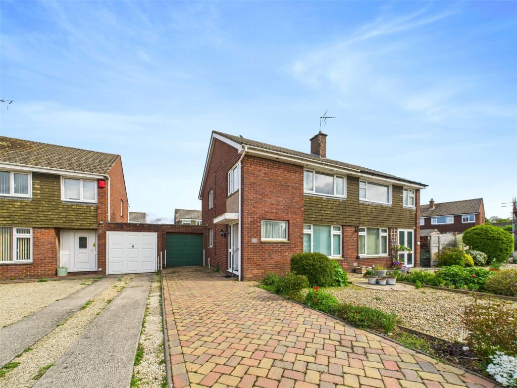
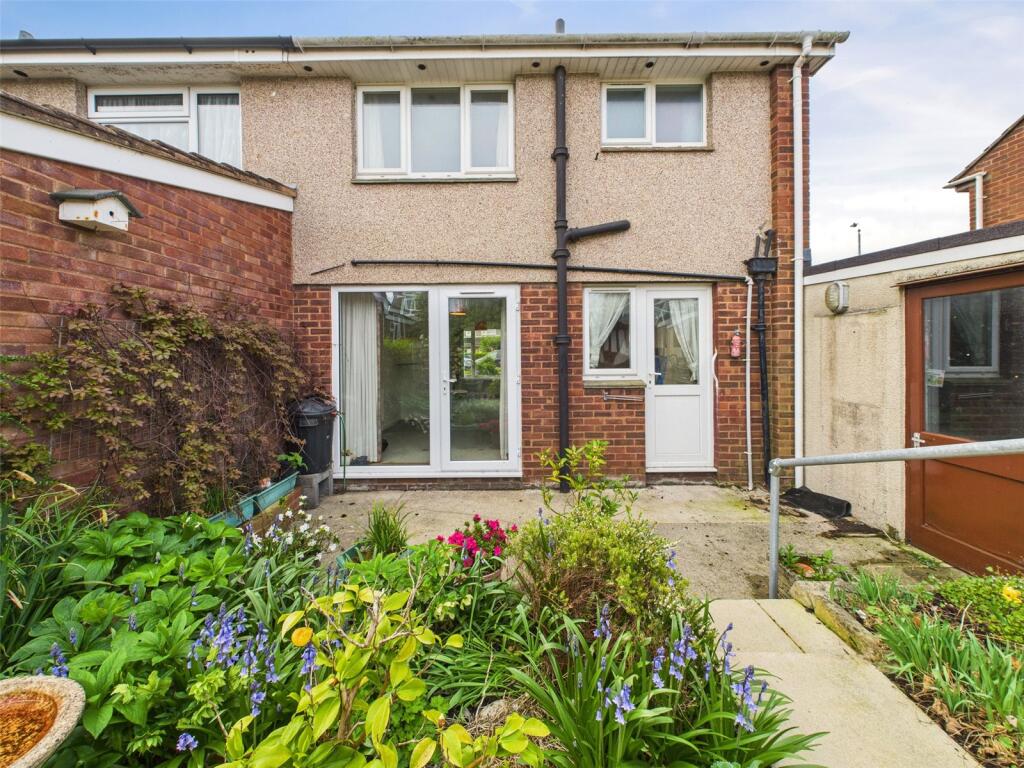
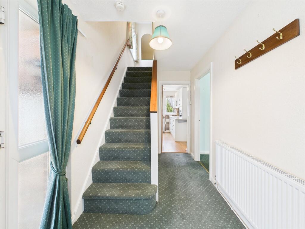
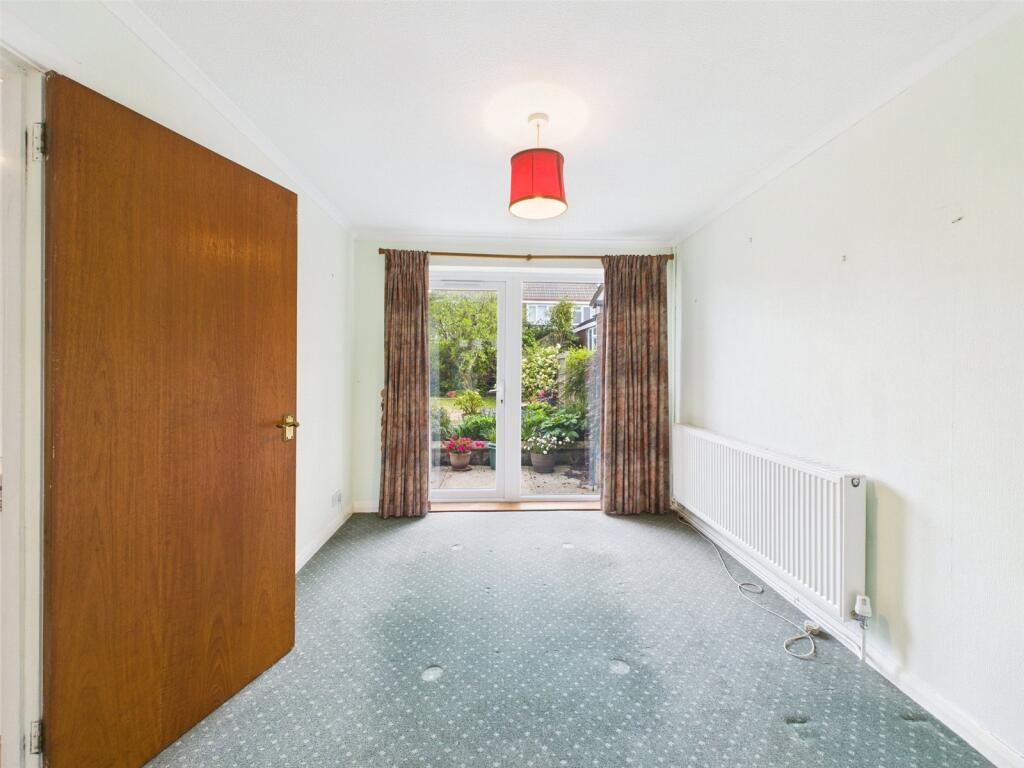
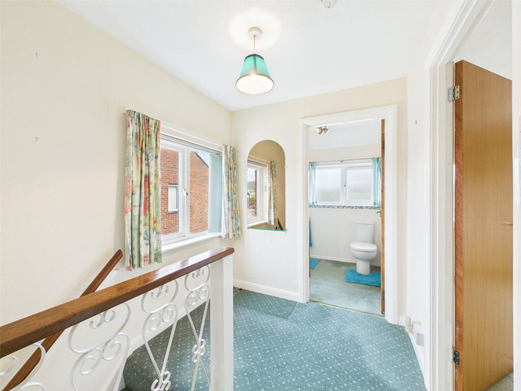
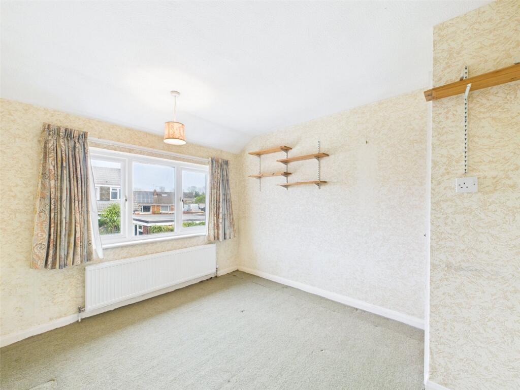
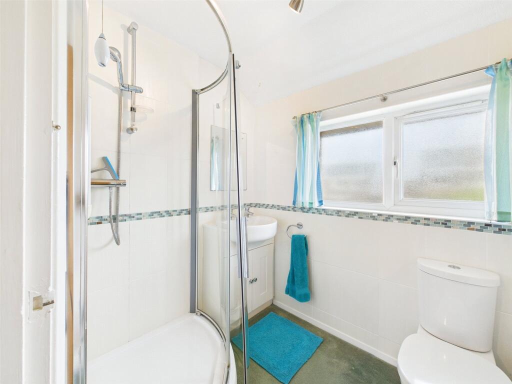
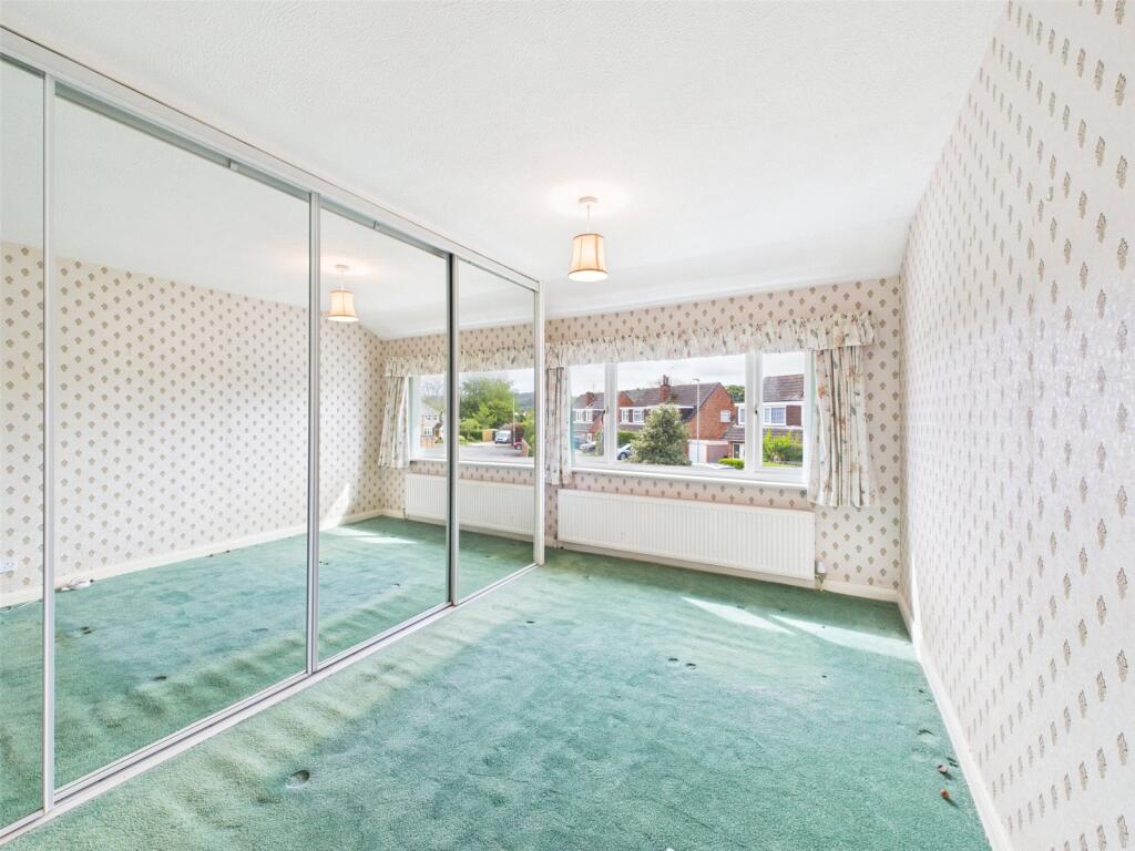
Located in the sought-after village of Locking, this three-bedroom semi-detached freehold property presents an opportunity for both first-time buyers and investors. Set in a residential area, the home offers a practical layout. Step outside to discover a private and enclosed rear garde...
Property Oracle says ..
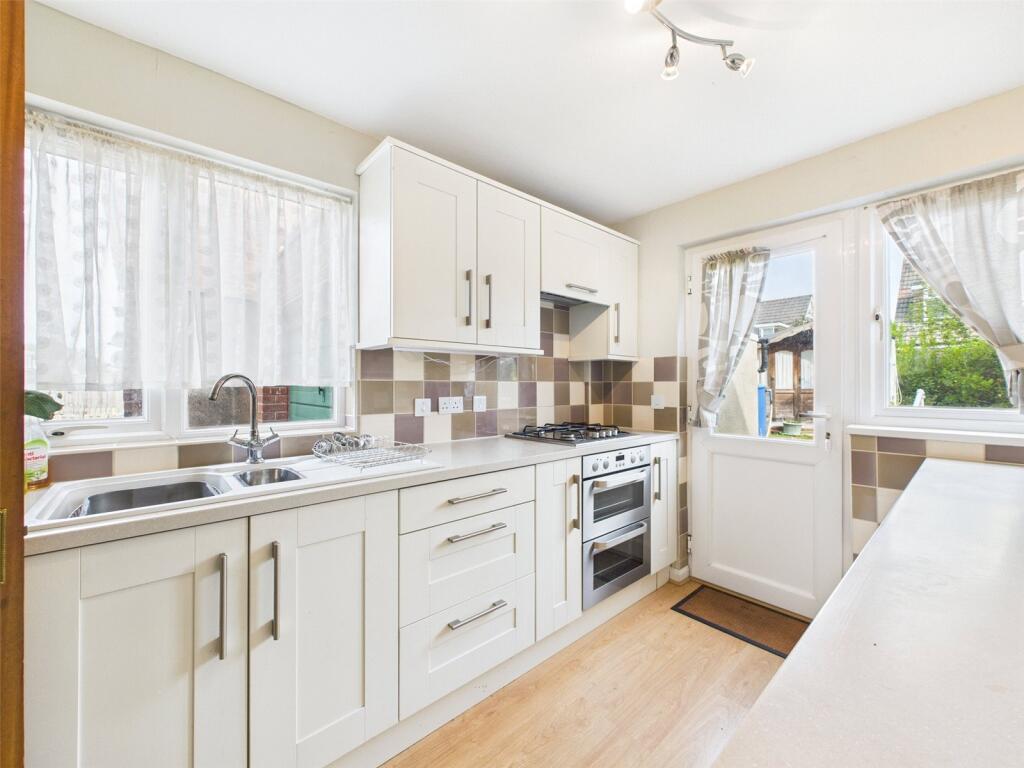
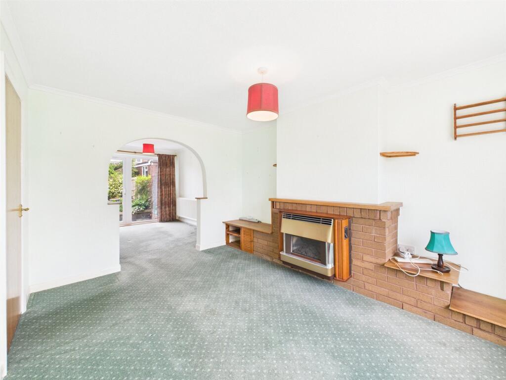
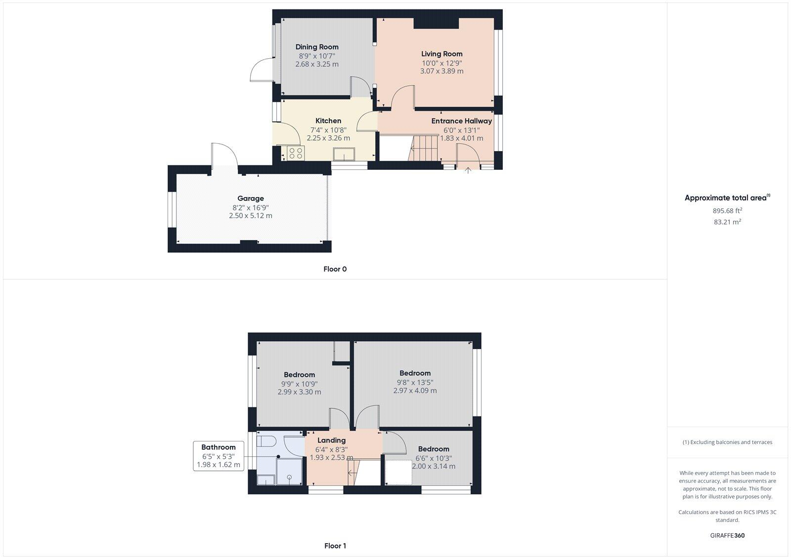
The property is a 3-bedroom semi-detached house located in Locking, Weston-super-Mare. It is listed at £285,000 and has a plot size of 895.67 sqft. The property includes a garage and a garden. Based on the images, it is in need of some modernisation. The carpets are dated, and the decor is tired. The kitchen and bathroom are functional but require updating. The structure seems sound. The garden is relatively small but well-maintained. The average house price in the area is significantly higher at £740,833, with an average price per sqft of £511. However, this average is likely skewed by larger, more expensive properties. The property’s price per sqft is considerably lower than the area average, suggesting it may represent good value for money, considering its condition and size. Nearby comparable properties range in price. The proximity to schools and transportation links is a positive aspect of the location. The distance to Weston-super-Mare provides access to amenities and services. Considering the condition, location, and land size, the list price of £285,000 appears reasonable, especially in light of the lower price per sqft compared to the area average. However, potential buyers should factor in the cost of necessary renovations and modernisation.
Therefore, we give this property 6 / 10. *Disclaimer: This is our option and does constitute a recommendation or financial advice. Do your own research. *
- Price
- 7
- Condition
- 6
- Location
- 7
- Land
- 6
- Bedrooms
- 3
- Bathrooms
- 1
- Sqft (est)
- 908.90
- Lot (est)
- 895.67
The heatmap indicates the level of crime in the area. The color of the heatmap indicates the crime severity and recency.
Metrics Year-on-Year
- Average area value
- 881,250.00 £Increased by 10.74 %
- Est sale value
- 627,141.00 £Increased by 54.71 %
- Average area rental value
- 1,300.00 £/moDecreased by 43.36 %
- Est letting value
- 908.90 £/moUnchanged by 0.00 %
- Est rental Yield
- 1.77 %Decreased by 48.84 %
- Crime Rate
- 7.00 %Unchanged by 0.00 %
Agent Activity
David Plaister Ltd created the listing.
Nearby Schools
| Name | Type | Ofsted | Distance |
|---|---|---|---|
| Locking Primary School | Academy Converter | 1.02 KM | |
| Parklands Educate Together Primary | Free Schools | 1.26 KM | |
| Winterstoke Hundred Academy | Free Schools | 1.75 KM | |
| Hutton Church Of England Primary School | Academy Converter | 1.83 KM | |
| Locking Castle And Locking | Children's Centre | 1.90 KM |
Images
Nearby Streets
| Name | Average Price | Average Sqft | Distance |
|---|---|---|---|
| Maxwell Road | £ 0 | 0 | 0.00 KM |
| The Bury | £ 699,950 | 0 | 0.00 KM |
| Ashfield Grove | £ 0 | 0 | 0.00 KM |
| Babbage Row | £ 403,282 | 0 | 0.00 KM |
| Faraday Road | £ 285,973 | 0 | 0.00 KM |
Nearby Transport
| Name | NLC | TLC | Distance |
|---|---|---|---|
| Worle | 3390 | WOR | 2.68 KM |
| Weston Milton | 3388 | WNM | 2.94 KM |
| Weston-Super-Mare | 3391 | WSM | 5.89 KM |
Nearby Listings
| Address | Price | Type | Score | Distance |
|---|---|---|---|---|
| The Orchard, Locking, Weston-super-Mare, North Somerset, BS24 | £ 285,000 | BUY | 6 / 10 | 0.00 KM |
| Homefield, Locking, Weston-super-Mare, Somerset, BS24 | £ 260,000 | BUY | 5 / 10 | 0.03 KM |
| The Orchard, Locking - SUPERB EXTENDED HOME | £ 368,000 | BUY | 7 / 10 | 0.04 KM |
| Elm Tree Road, Locking, Weston-super-Mare, Somerset, BS24 | £ 445,000 | BUY | 7 / 10 | 0.13 KM |
| Beechwood Avenue, Locking, Weston-Super-Mare, BS24 | £ 495,000 | BUY | Unknown | 0.23 KM |
Nearby Properties
| Address | Price | Distance |
|---|---|---|
| 18 Homefield | £ 350,000 | 0.03 KM |
| 10 Homefield | £ 197,500 | 0.03 KM |
| 28 Homefield | £ 119,000 | 0.03 KM |
| 16 Homefield | £ 212,500 | 0.03 KM |
| 9 Homefield | £ 198,500 | 0.03 KM |